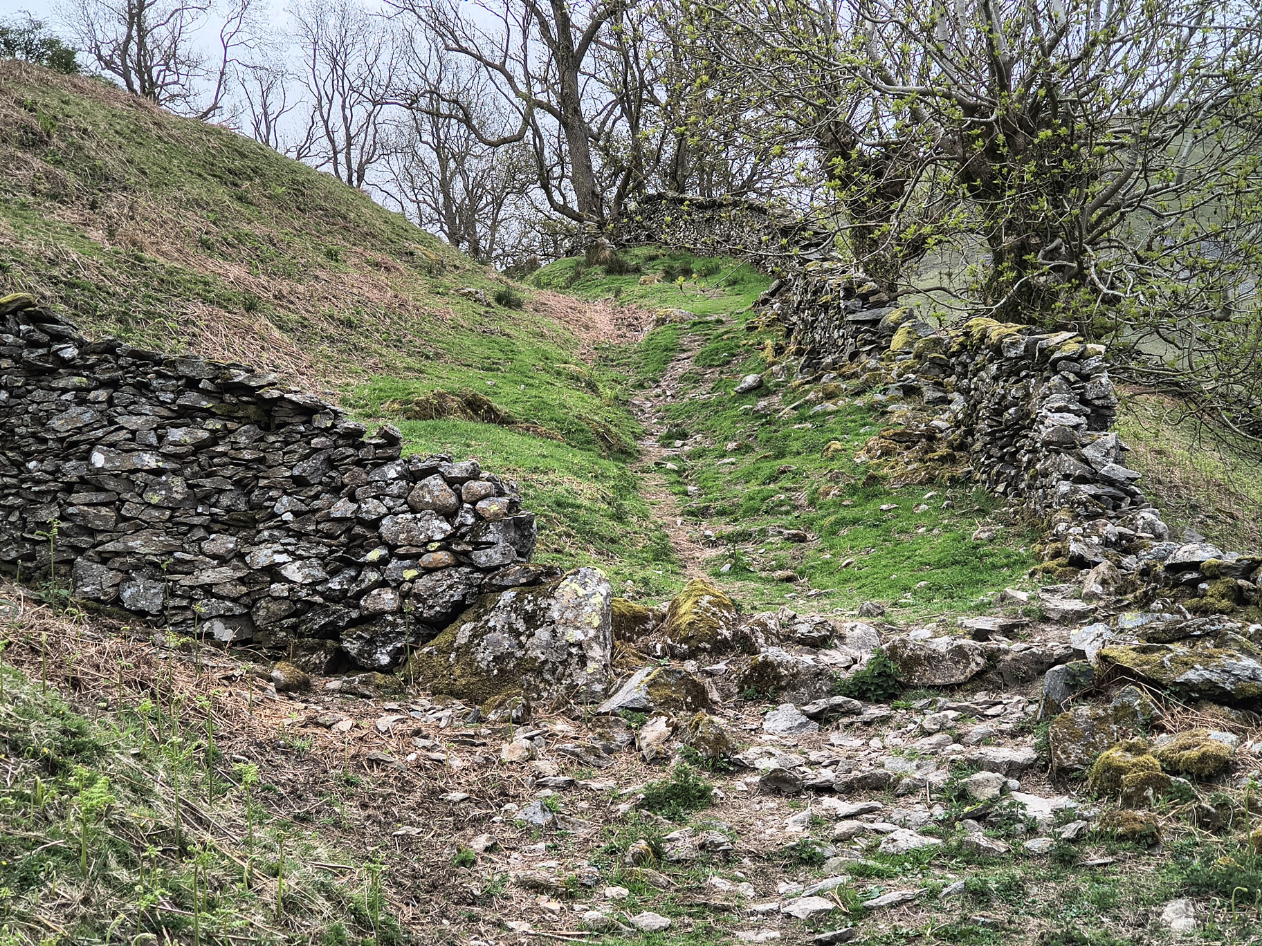
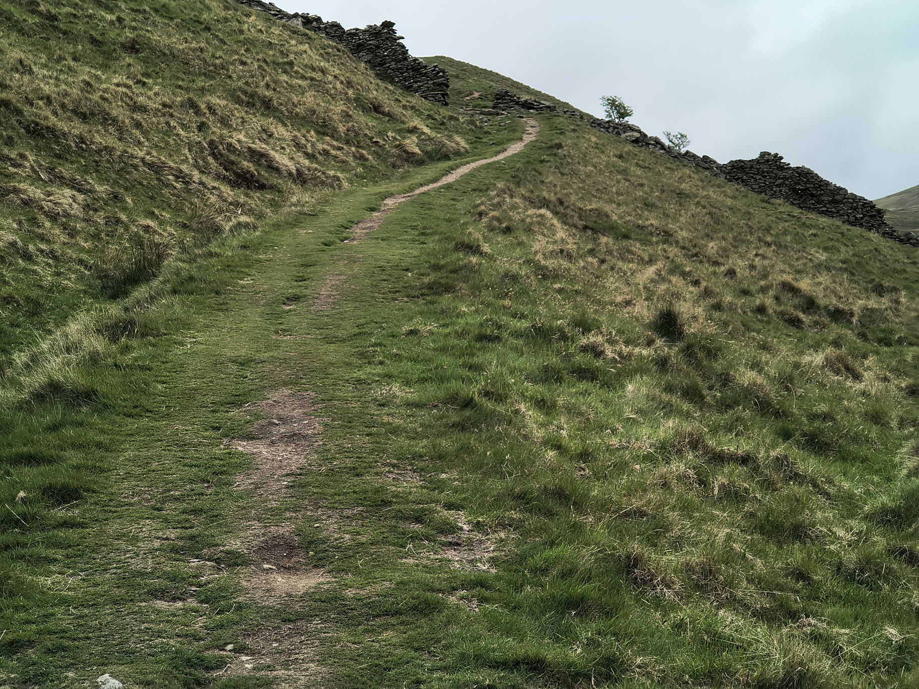
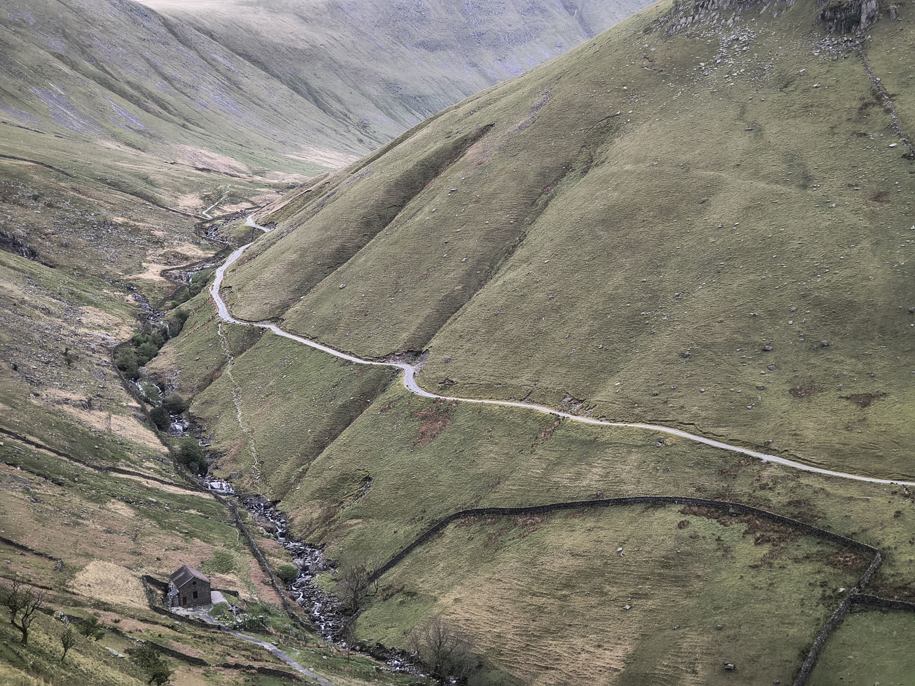
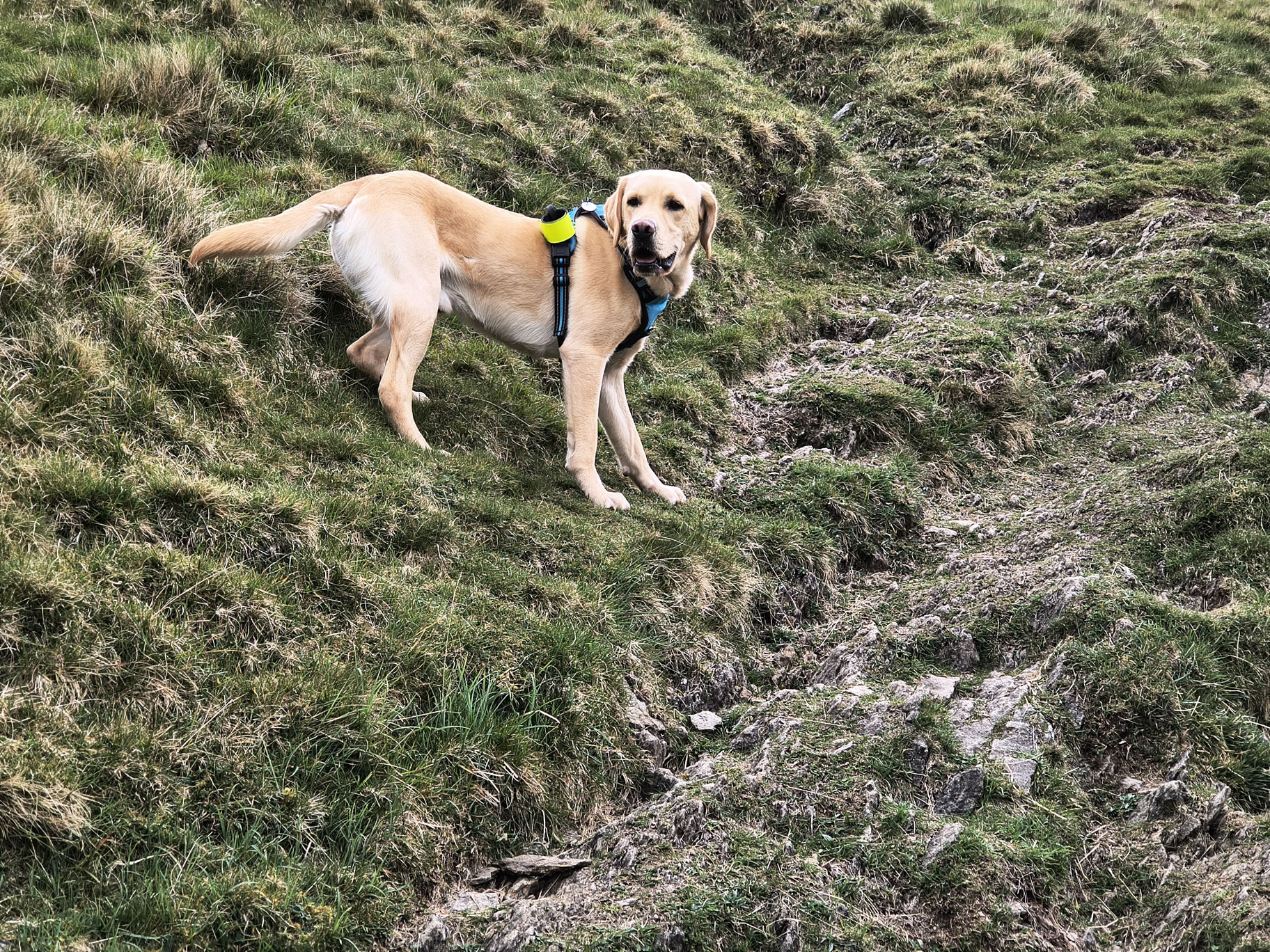
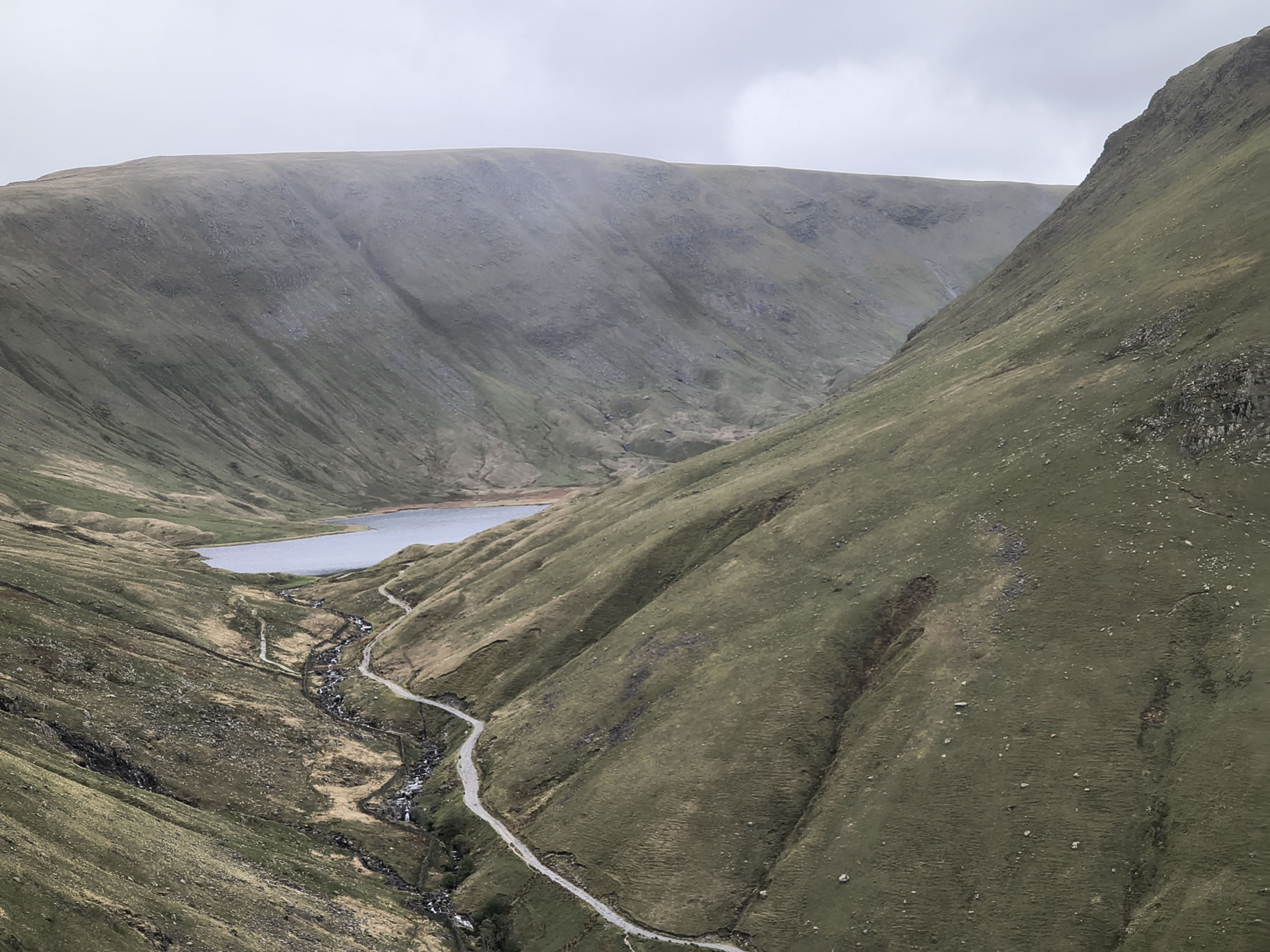
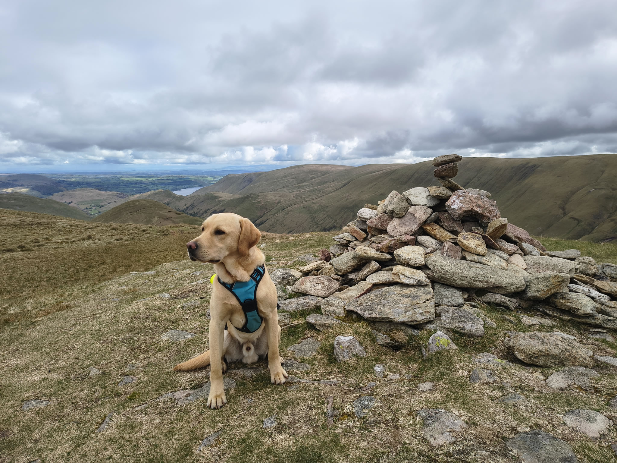
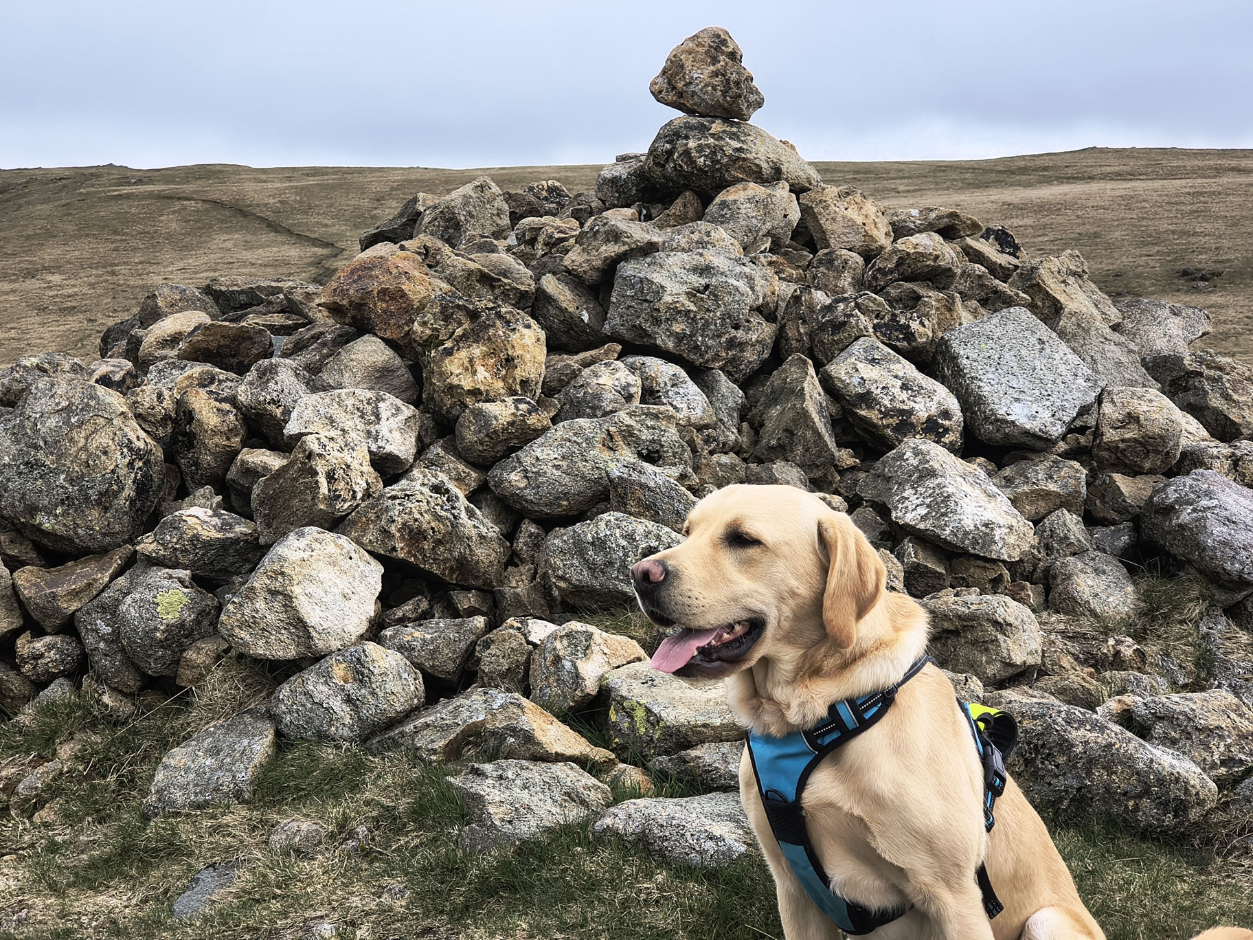
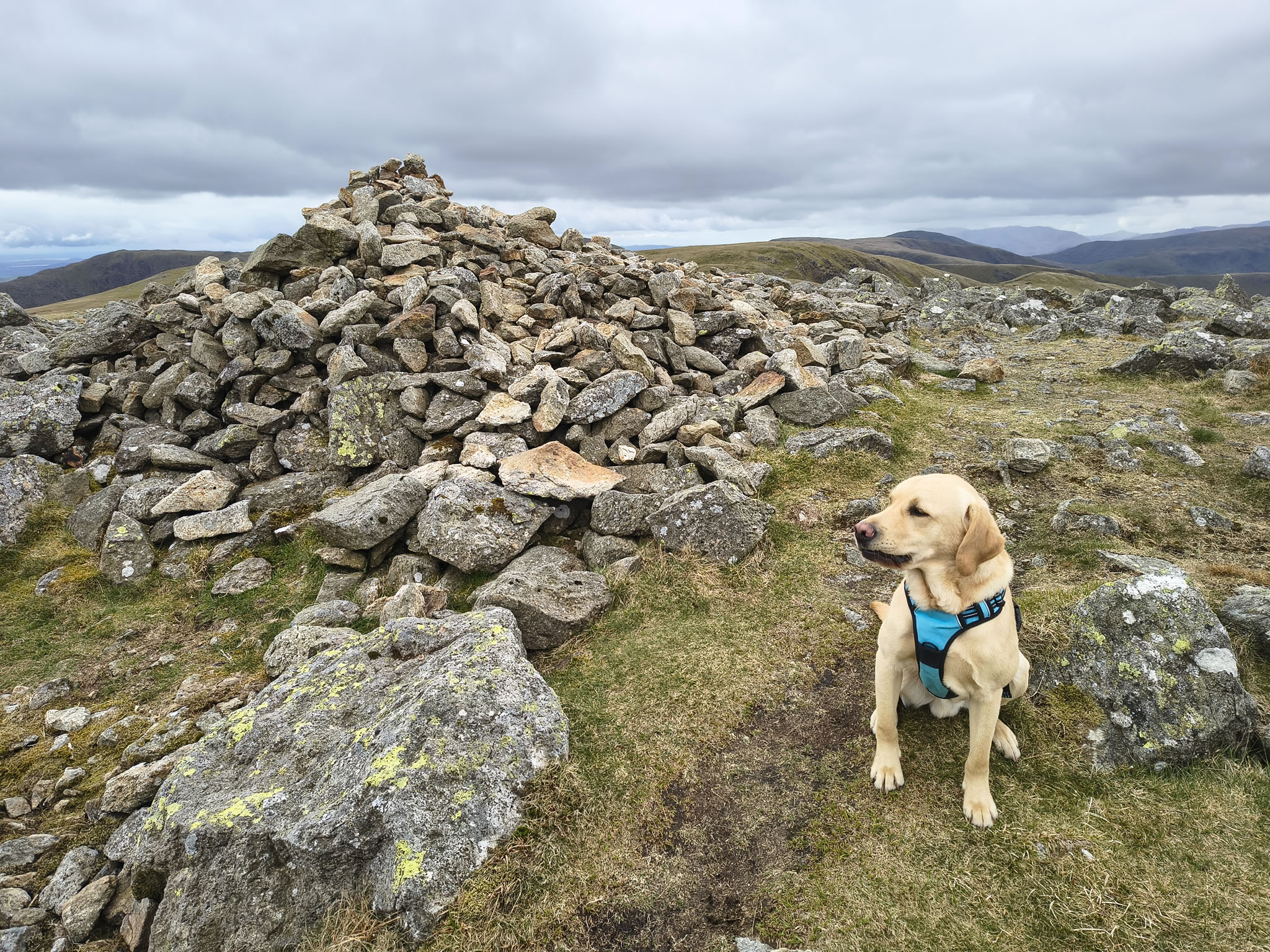
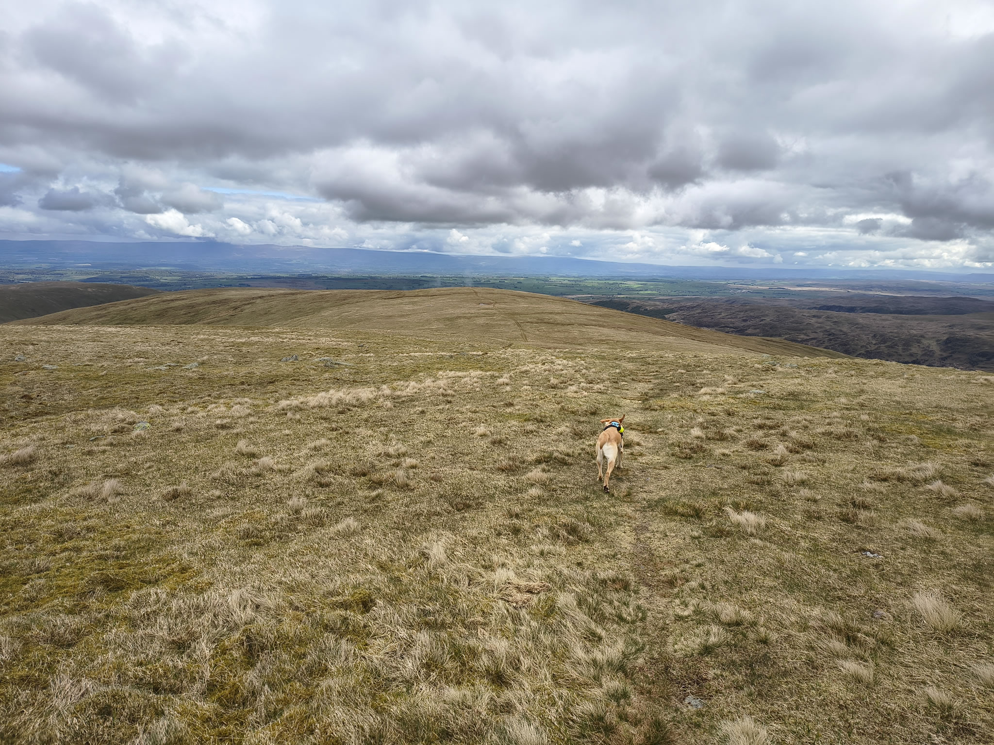
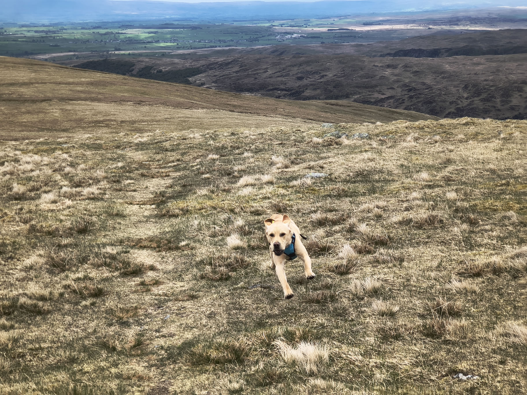
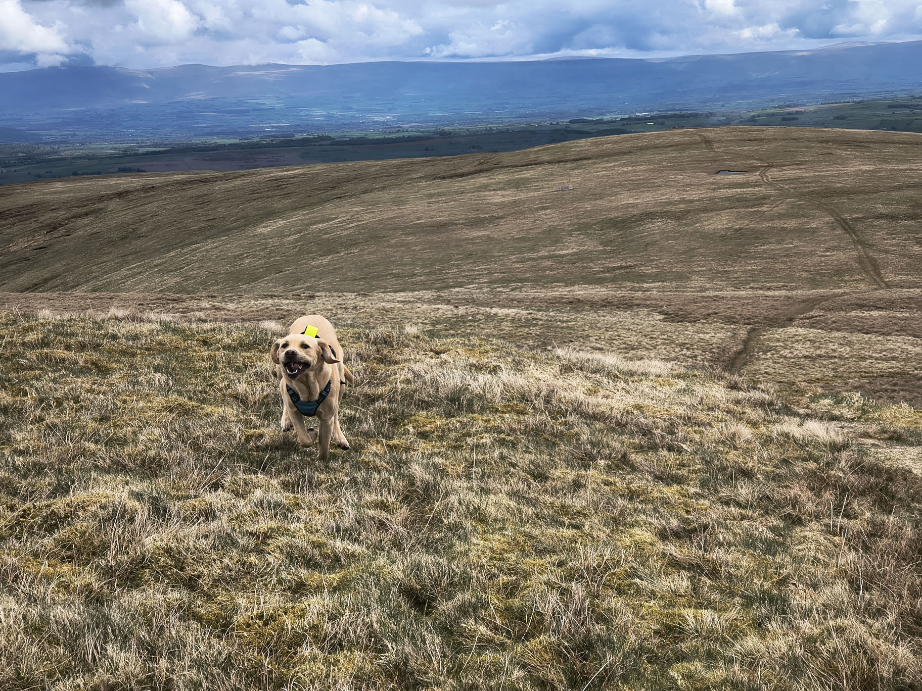
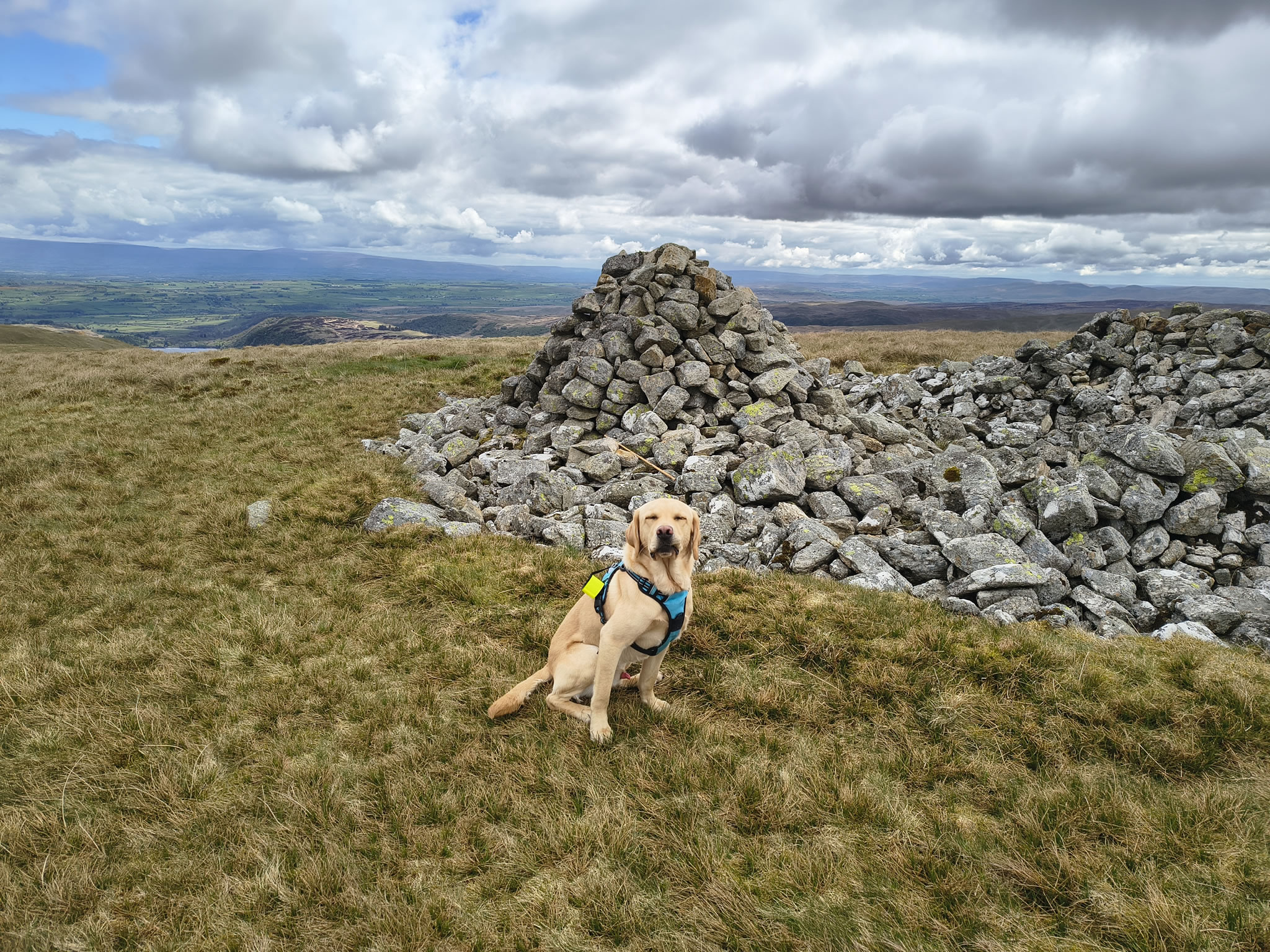
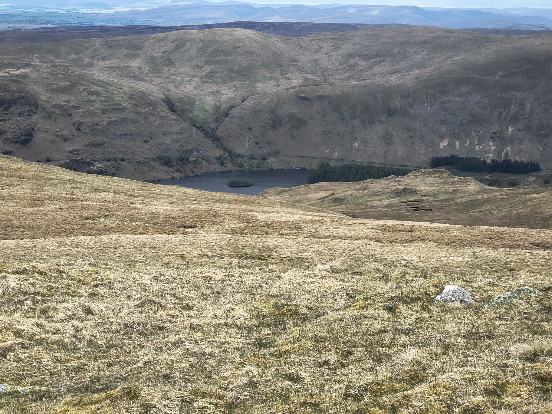
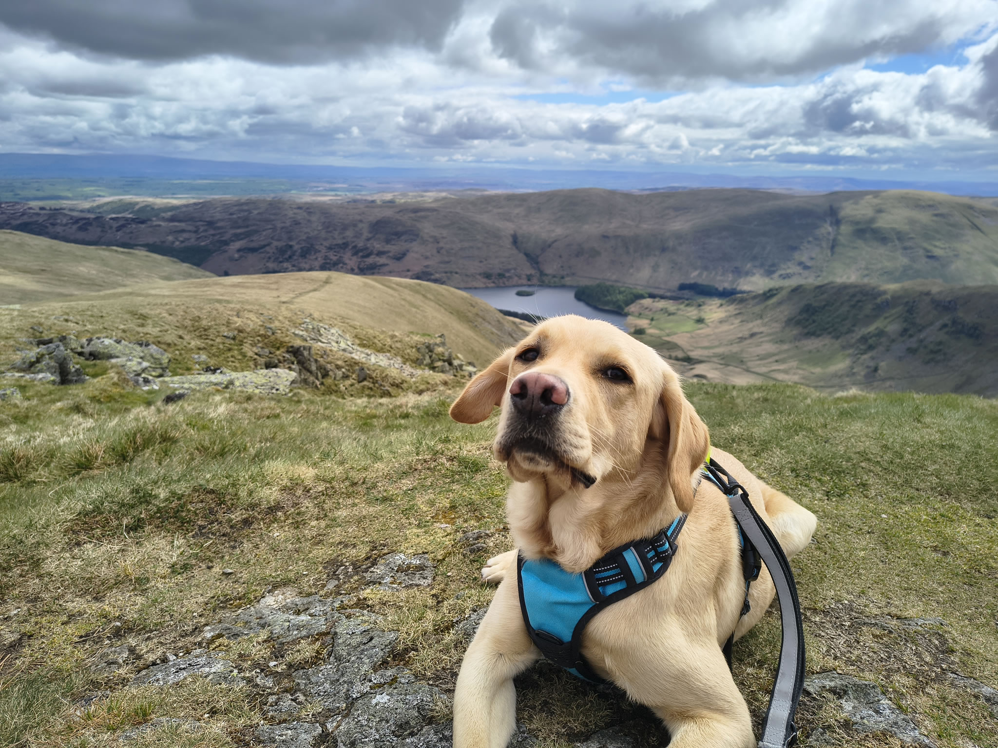
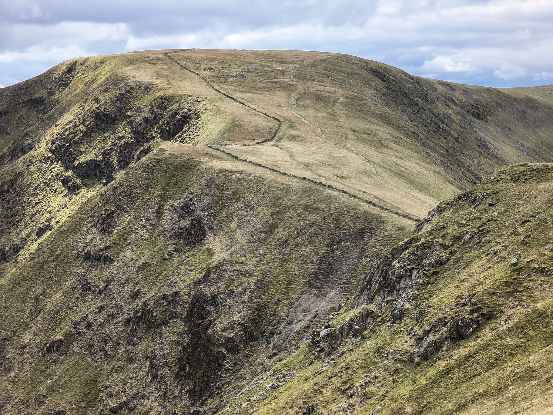
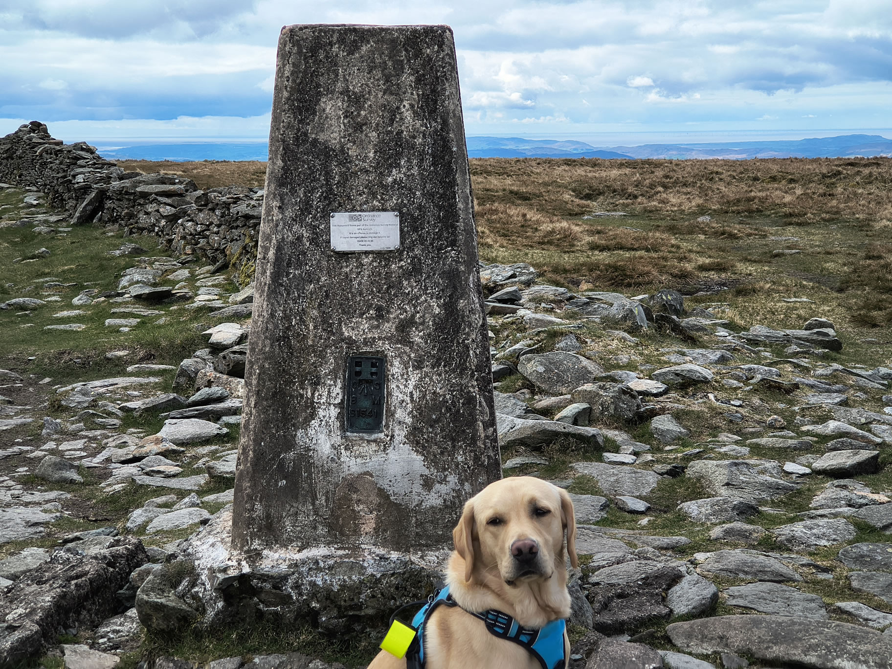
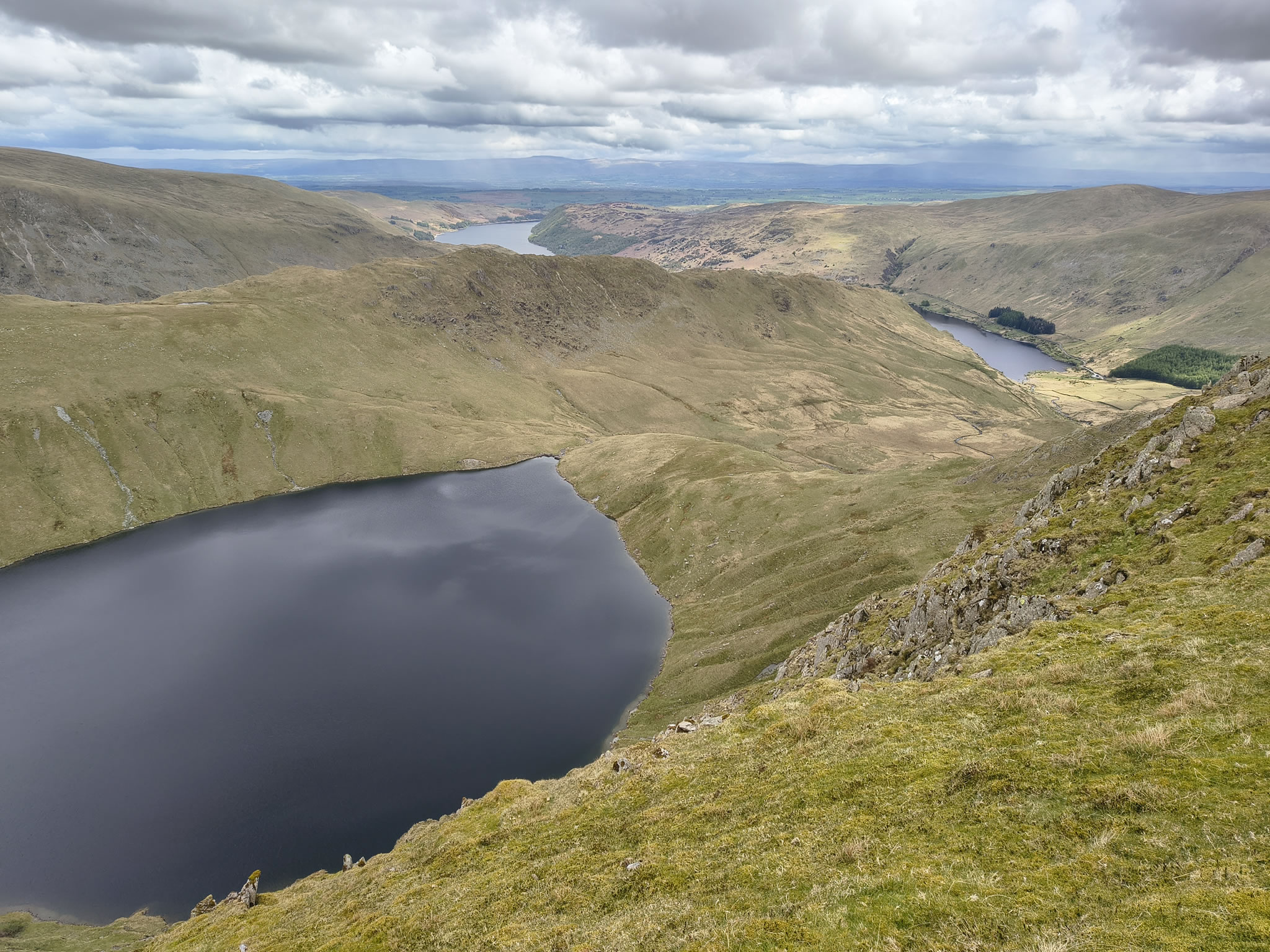
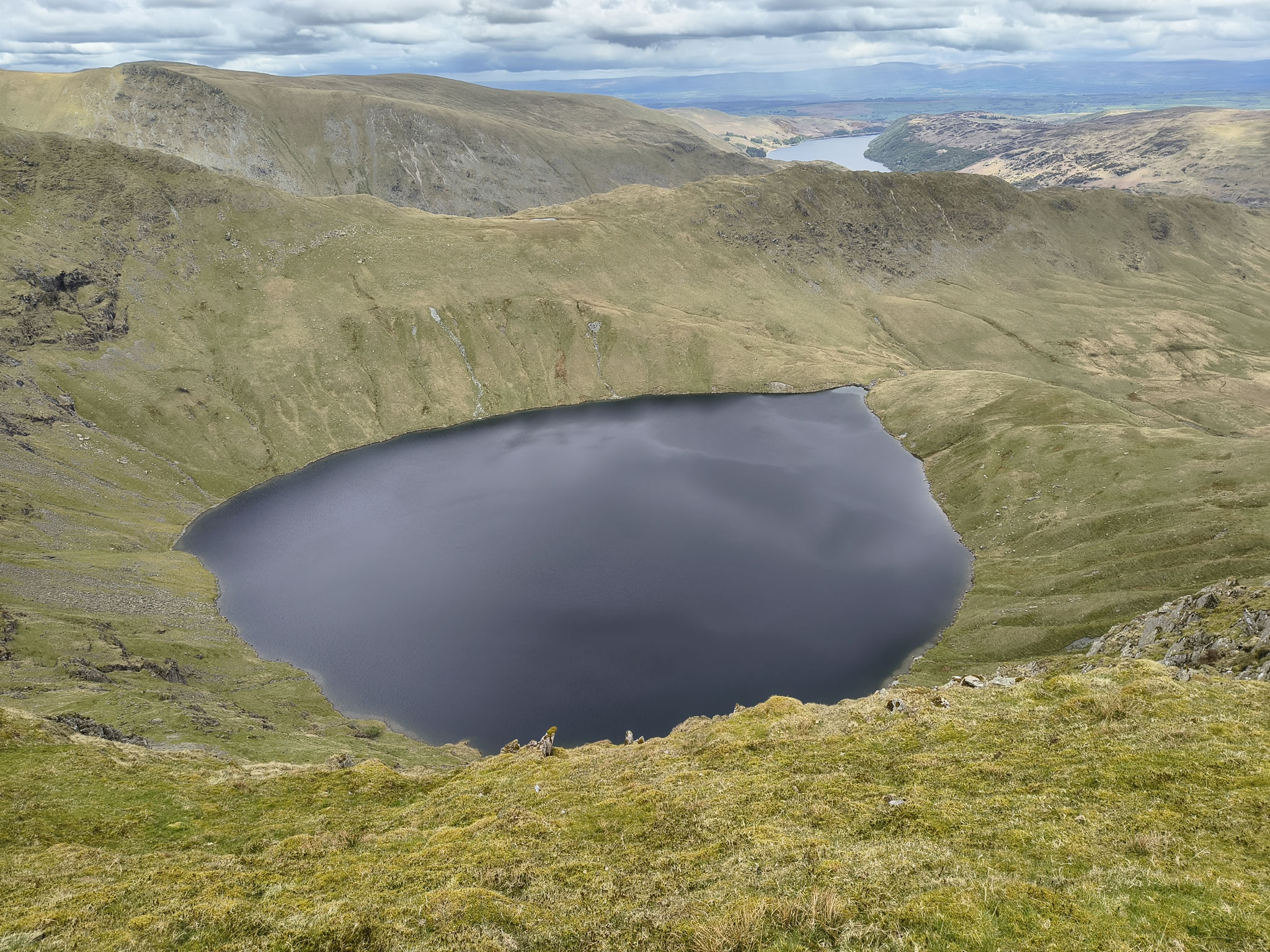
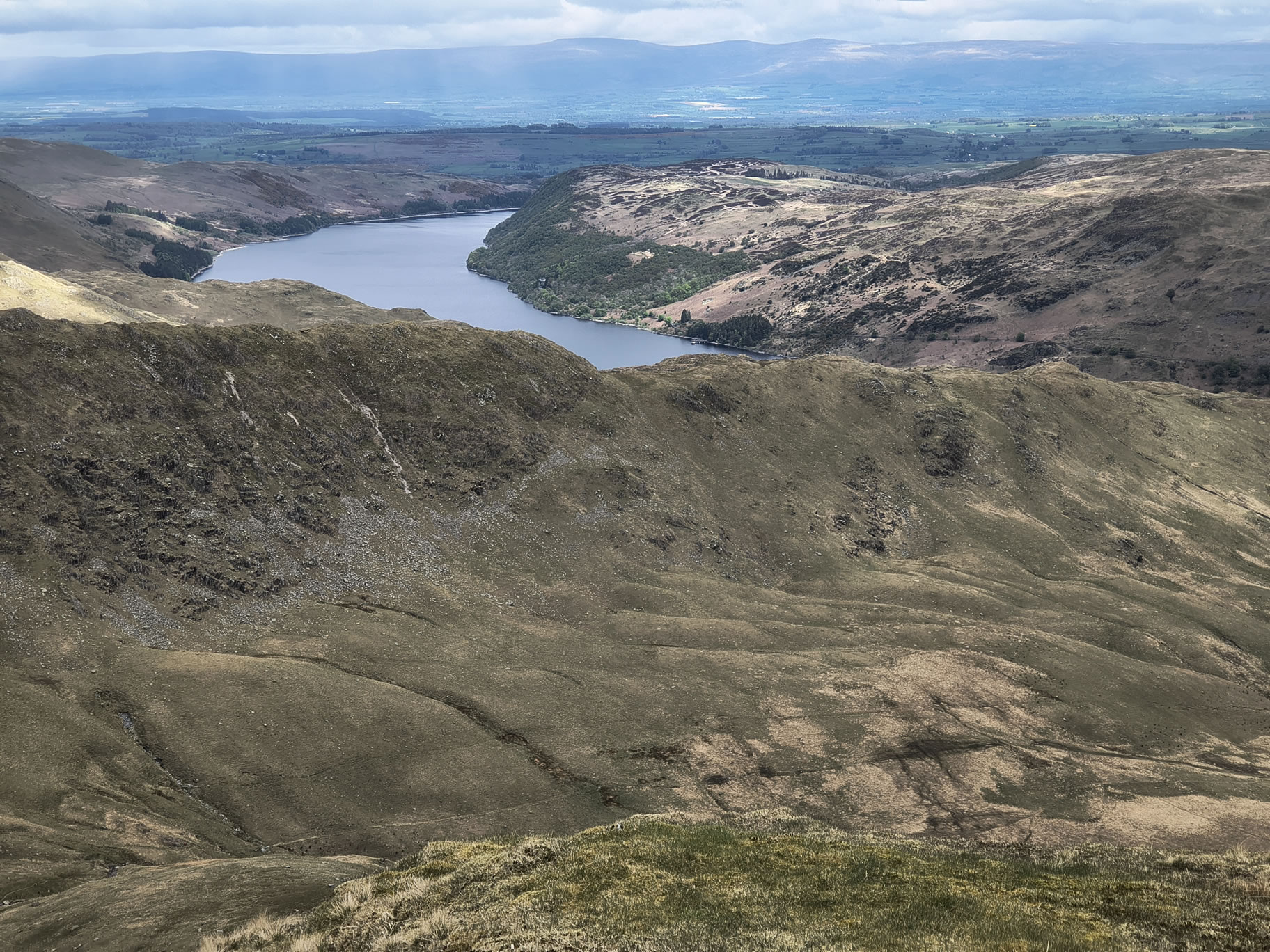
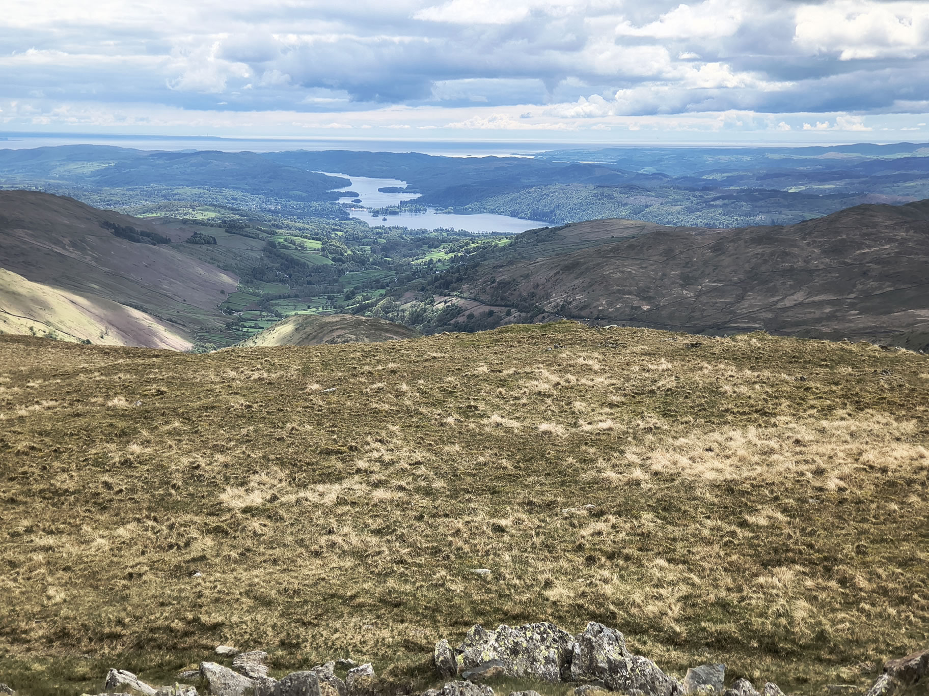
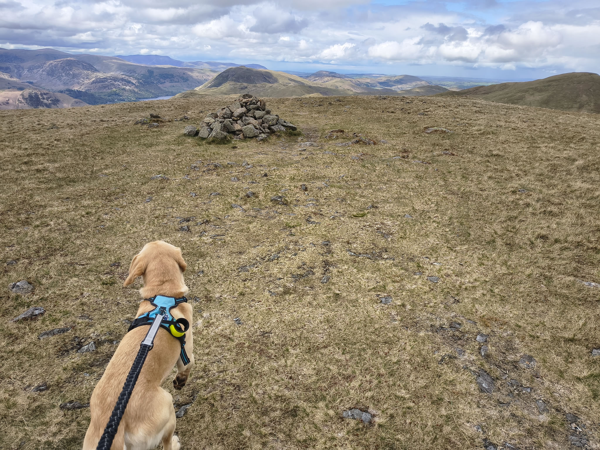
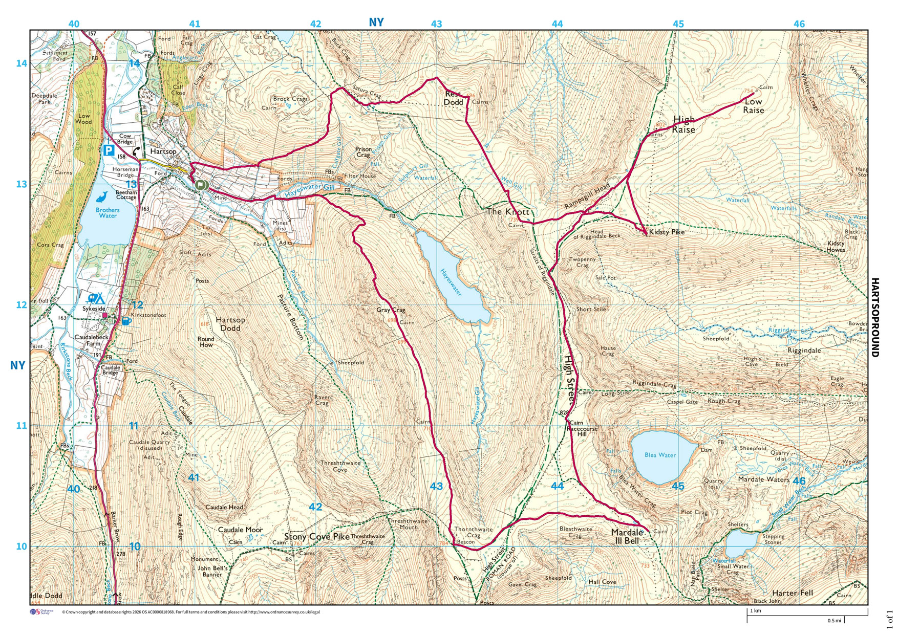
After the last couple of days with tiny walks we set off today from Hartsop with an initial target of High Raise and Kidsty Pike. In the end we made a full round of it taking in High Street, Mardale Ill Bell and more.
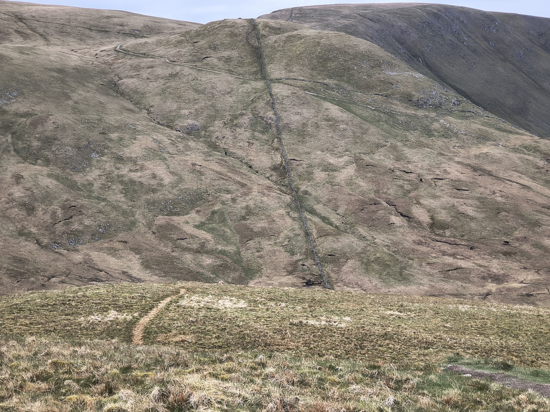
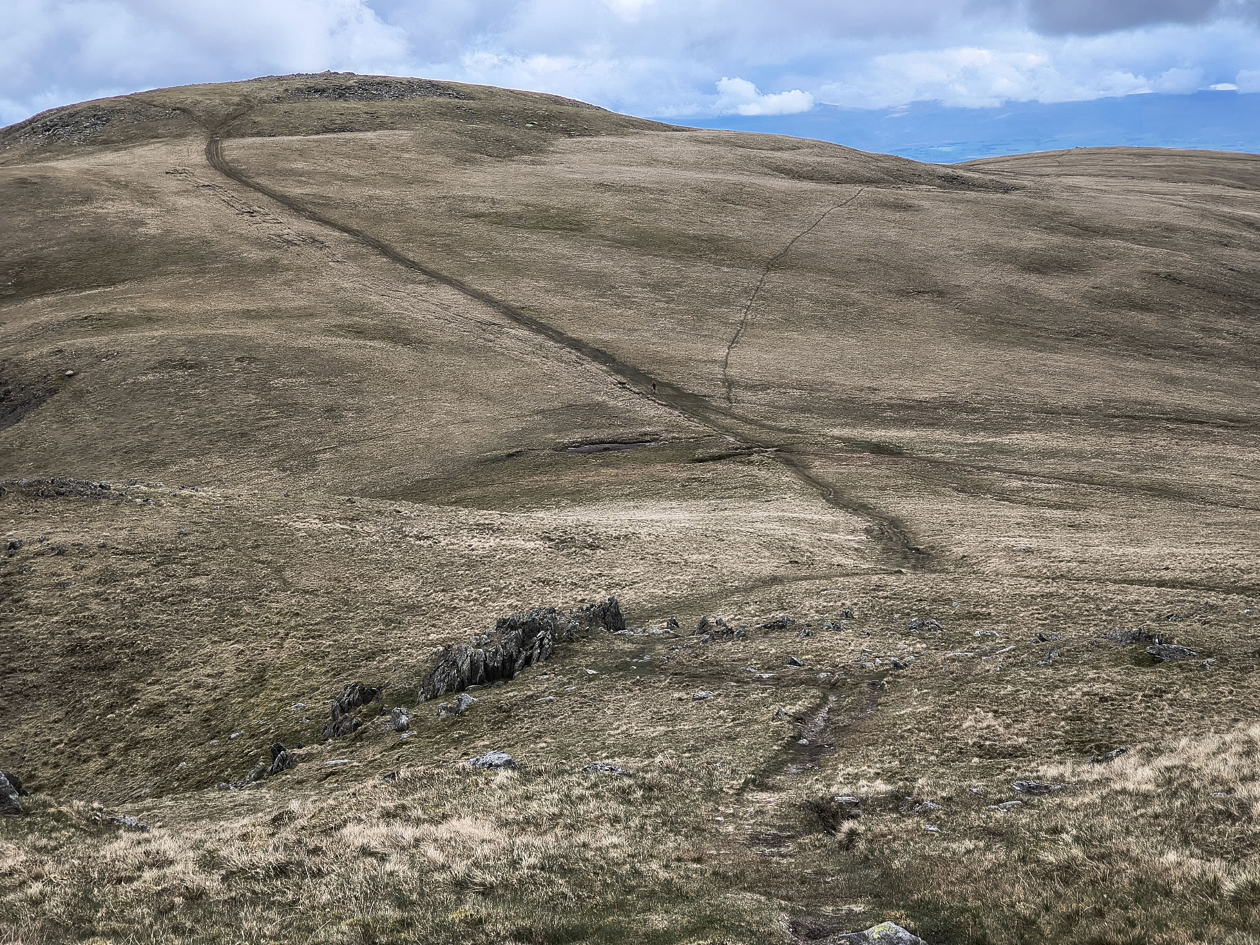
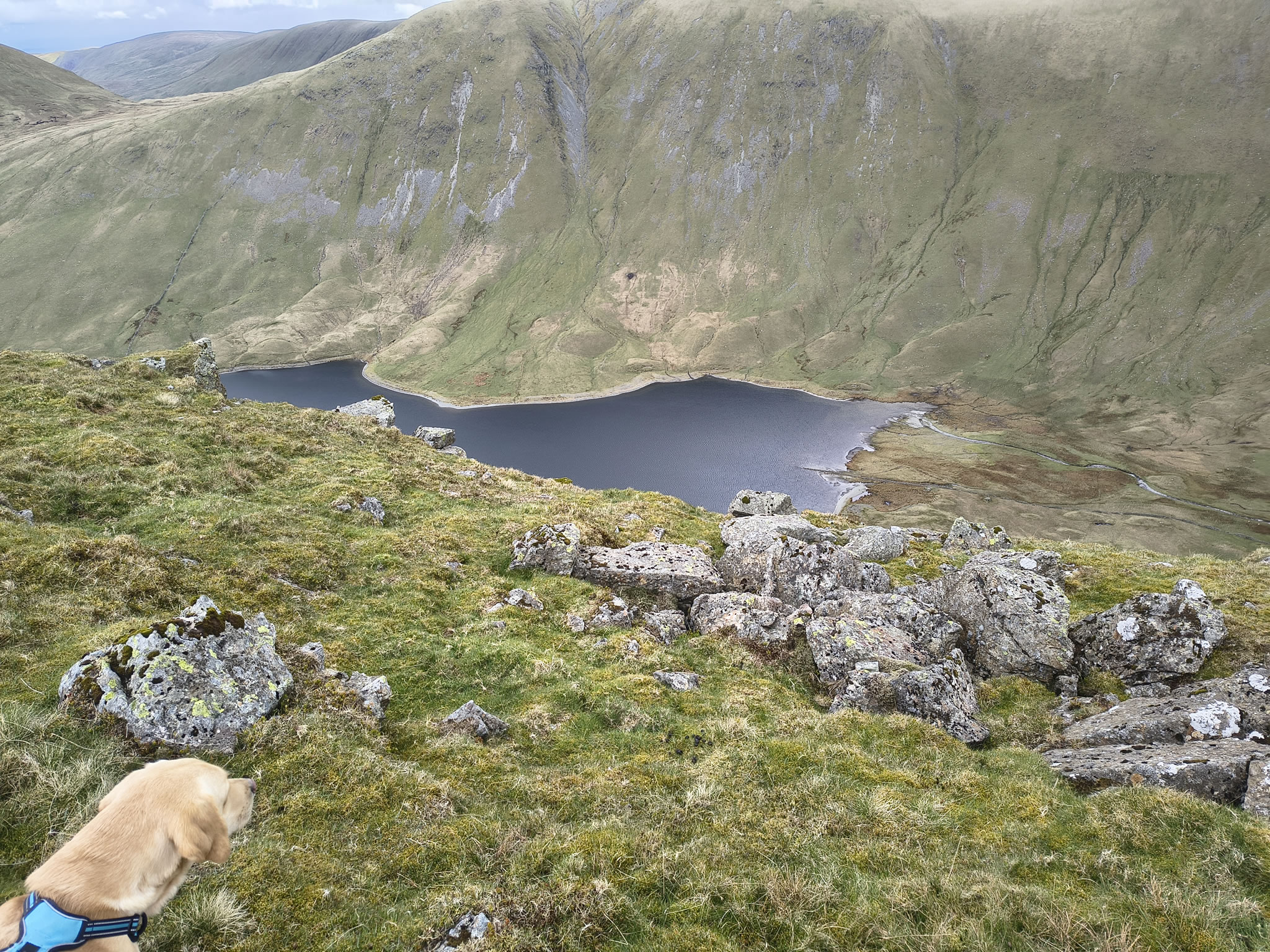
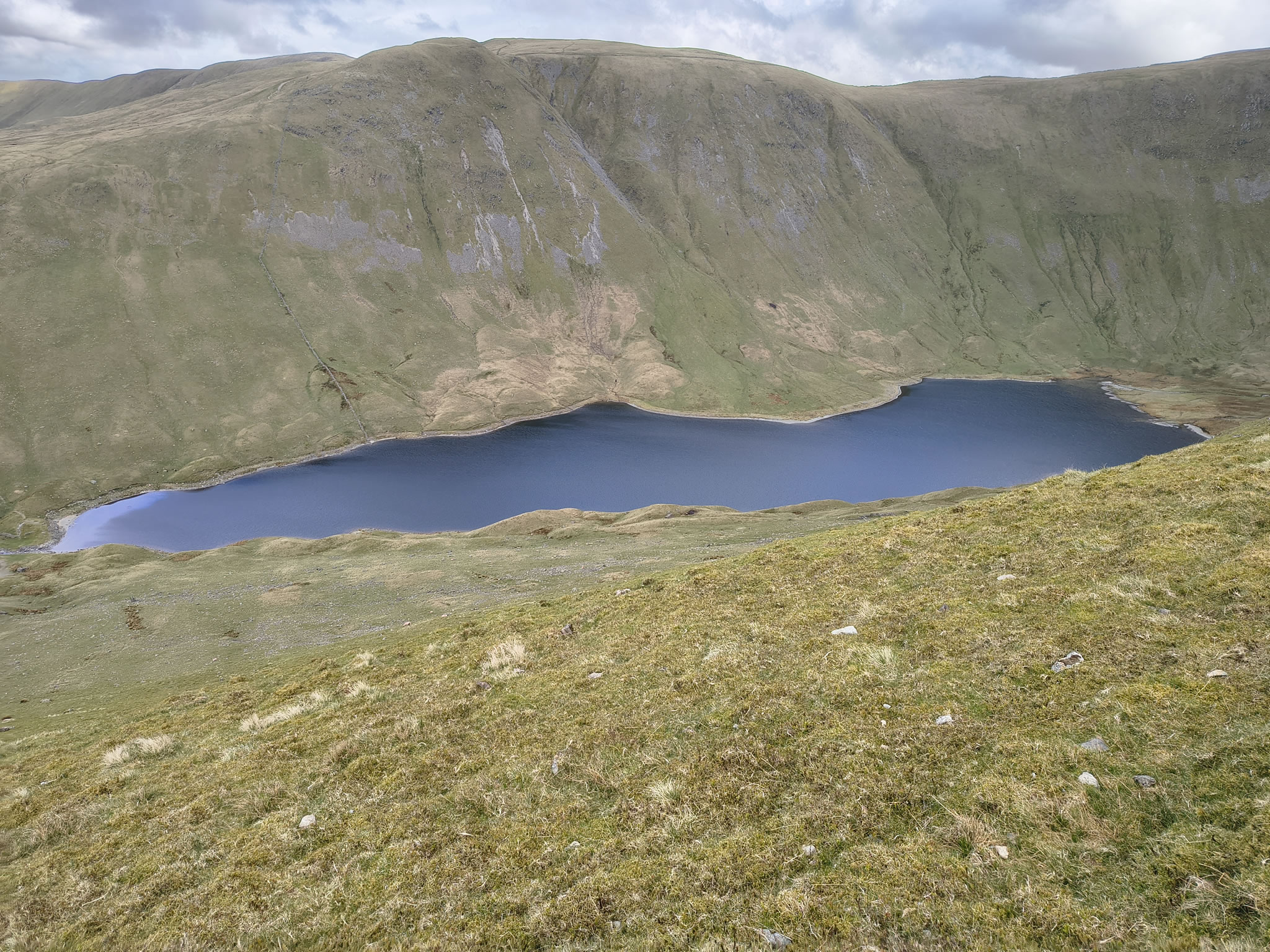
After a short break (it's still windy and we don't want to get cold) we decide to continue the 'Round'. Next stop is High Street, which involves a short descent before ascending by one of two paths. I choose the left one near the wall because we plan to visit Blea Water Crag and Mardale Ill Bell
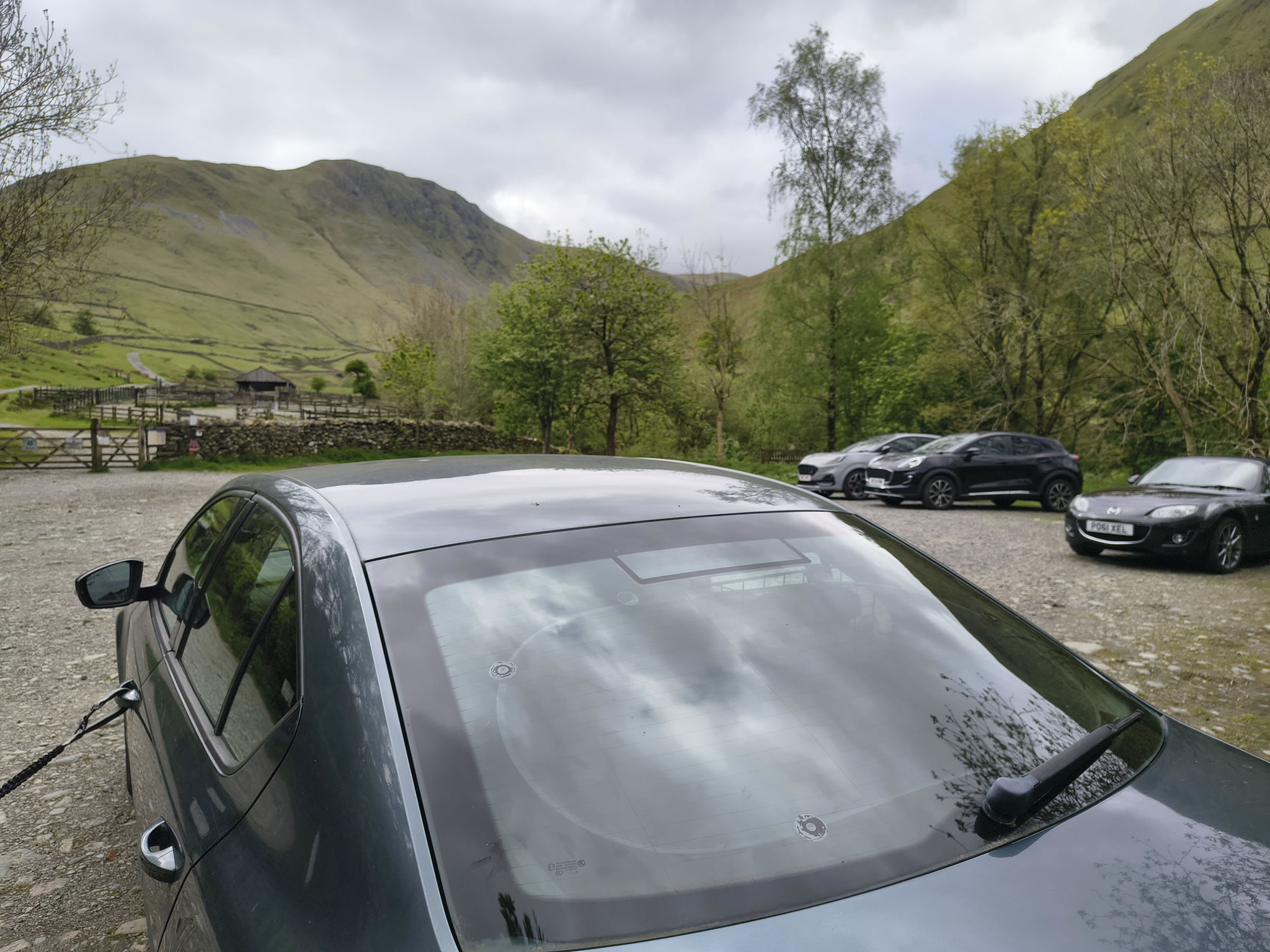
Car park at the far end of Hartsop Village (honesty box). [Grid Ref: NY 40999 13007] [GPS 54.508922, -2.912745] View on map
Hartsop, Satura Crag, Rest Dodd, The Knott, Rampsgill Head, High Raise (M), Low Raise, Kidsty Pike, High Street, Mardale Ill Bell, Thornthwaite Crag, Gray Crag
Distance 11.54 miles, Time 6.52 h, Total Ascent 3,665 ft
Wainwright Pictorial Guide: The Far Eastern Fells
Rest Dodd 2,283 ft
The Knott 2,425 ft
Rampsgill Head 2,598 ft
High Raise (Martindale) 2,631 ft
-Low Raise 1,811 ft-
Kidsty Pike 2,559 ft
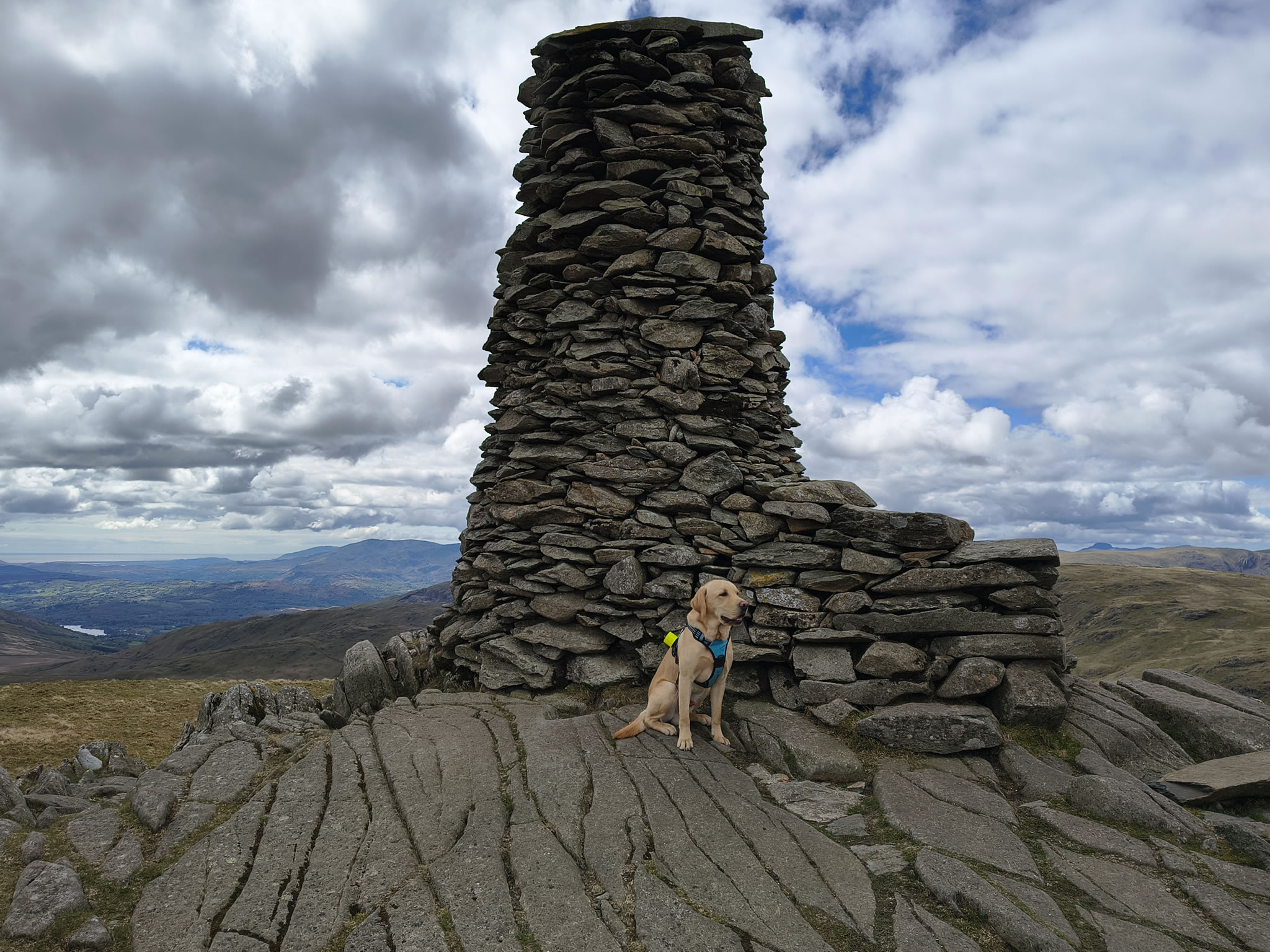
High Street 2,717 ft
Mardale Ill Bell 2,493 ft
Thornthwaite Crag 2,572 ft
Gray Crag 2,293 ft
Fells that are not 'Wainwrights' are depicted like this: -Low Raise-
High Street - High Street is named after the Roman road that crossed the fell between AD 70 and AD 150. The road connected two major Roman forts: Brougham (near Penrith) and Galava (Ambleside). This was a remarkably ambitious engineering feat - the Roman road runs at a higher altitude than any other Roman road in England.
The Romans probably chose the fell-top route because the gentle slopes and flat summit plateau were easier to traverse than the densely forested and marshy valleys below, which were susceptible to ambush.
Beyond its Roman significance, High Street held cultural and social importance in the 18th and 19th centuries when its flat summit was used as a venue for summer fairs. Annually on 12 July, people from the surrounding valleys gathered to return stray sheep to their owners, and the event also featured games, wrestling, and horse racing. This tradition is why the summit is also known as Racecourse Hill.
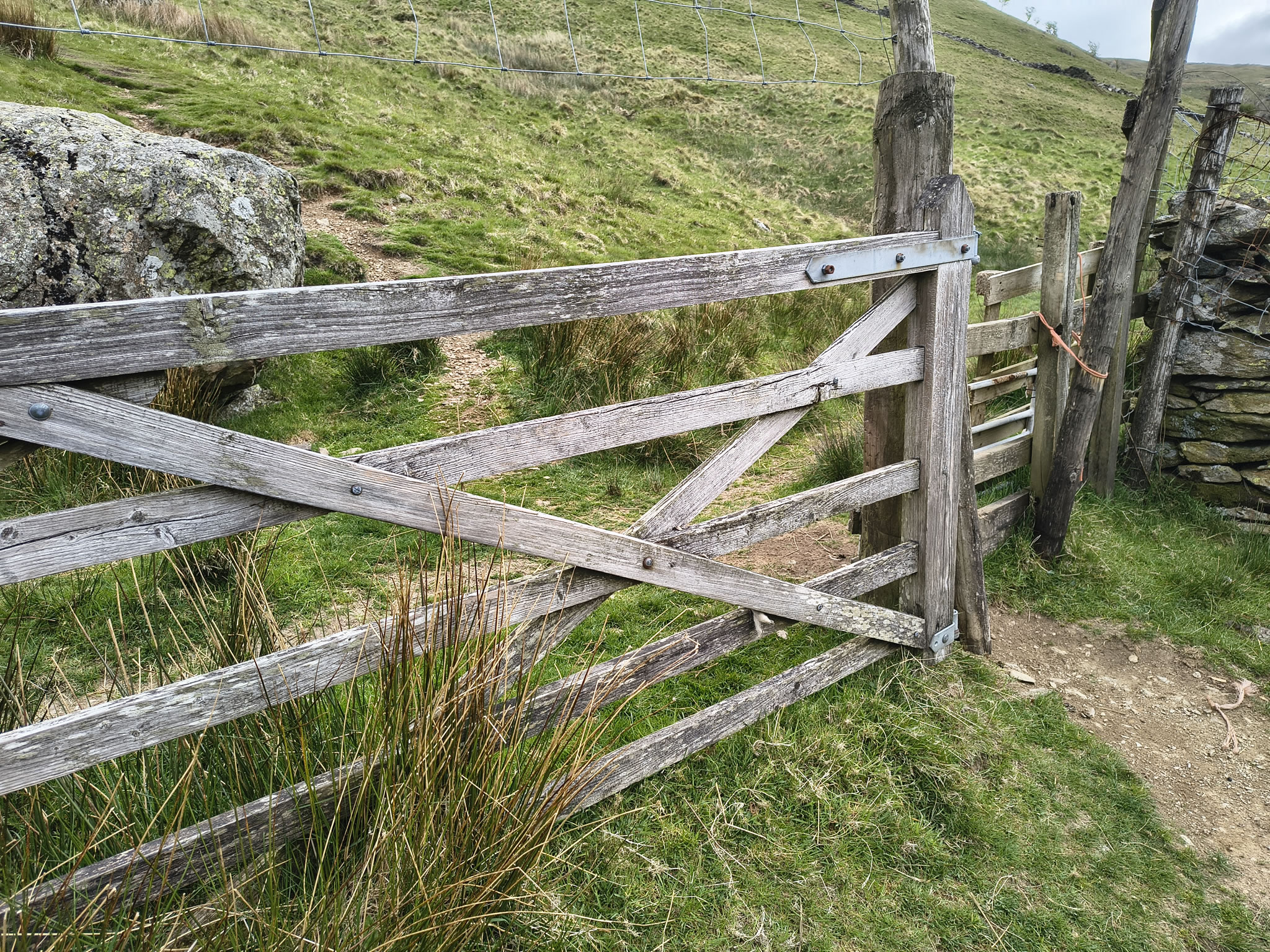
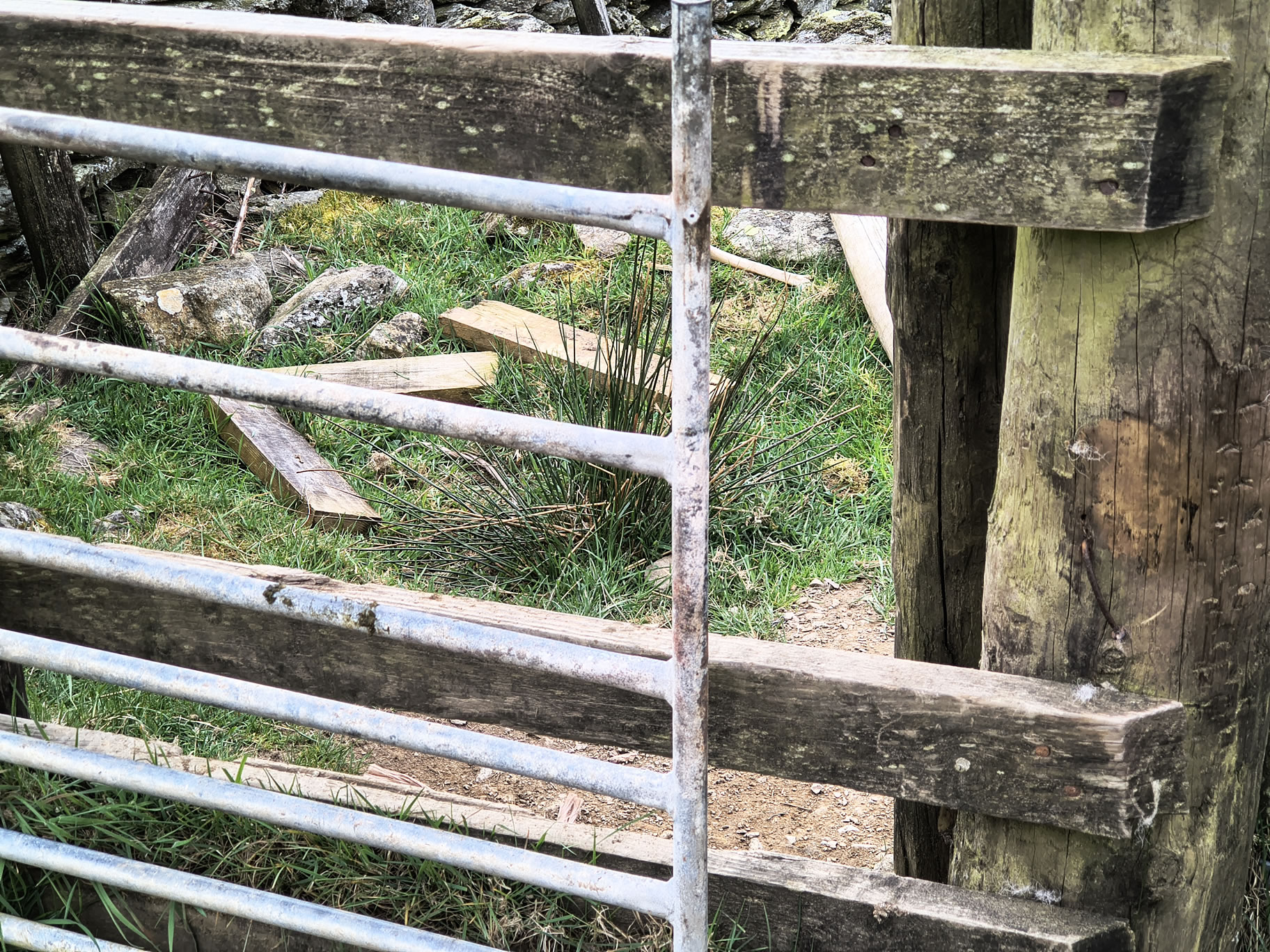
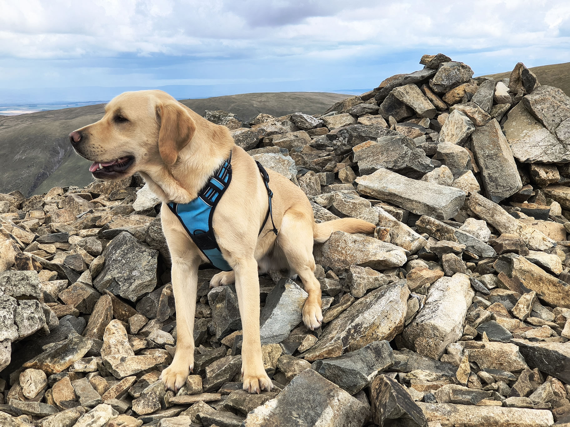
There was an impassable gate towards the beginning of this walk. (We encountered it the other way round when hiking Angletarn Pikes last year). It is on the top left initial section of the route slightly along where there is a kink. I had to lift Rex up and then he squeezed through. An alternative path would be to go further N from Hartsop initially, and then cut back (May 05, 2026)