HD: screen narrow    STD: screen is wide, you could benefit from HD 

High Spy, Derwent Water [NW] GradeGrade
REX    Nov 08, 2026 Portinscale, Lingholm, Skelgill, Cat Bells, Maiden Moor, High Spy, Manesty, Brandelhow    Derwent Water    
Distance 11.45 miles, Time 6.21 h, Total Ascent 2,864 ft     Imperial | Metric
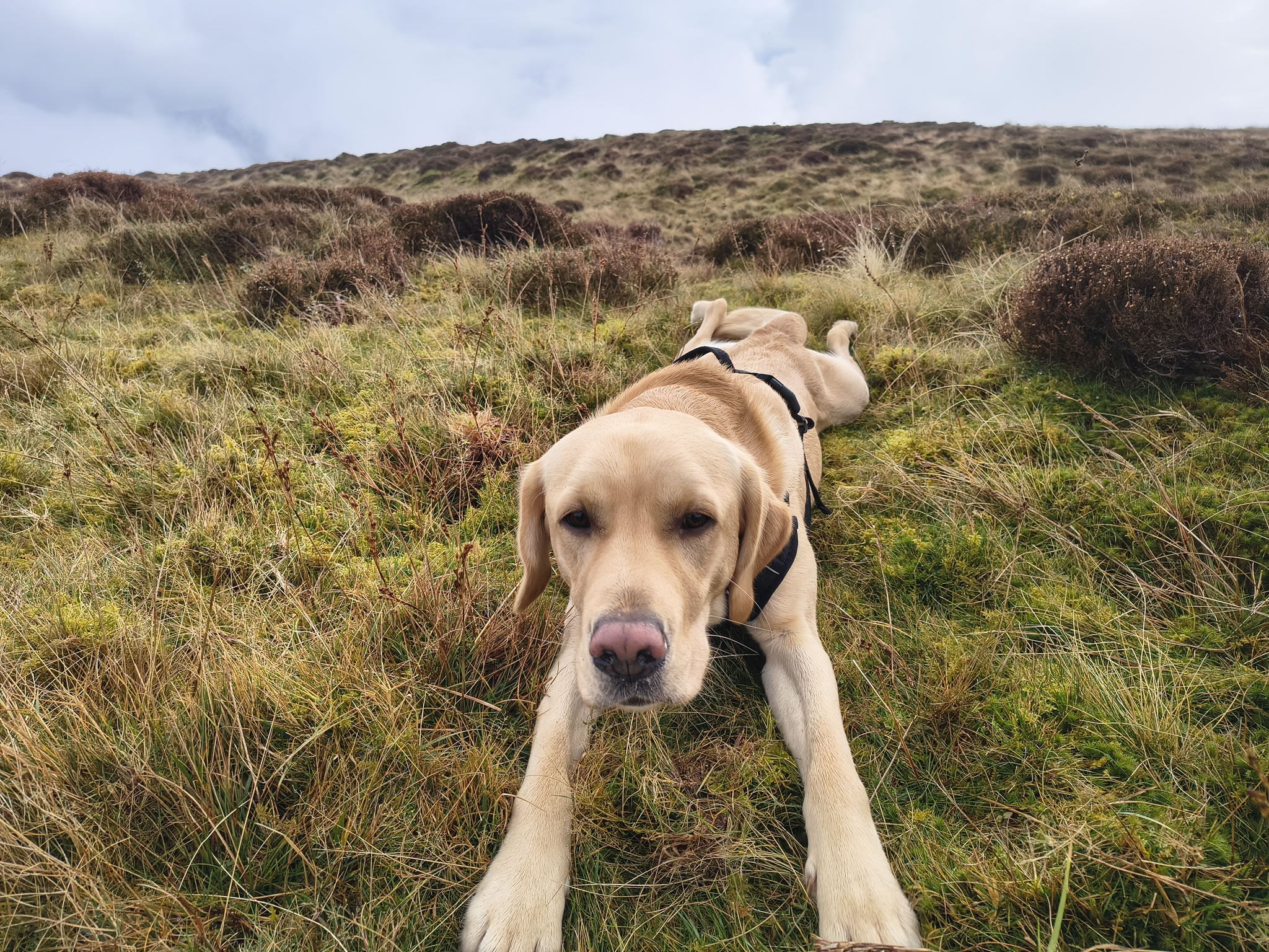
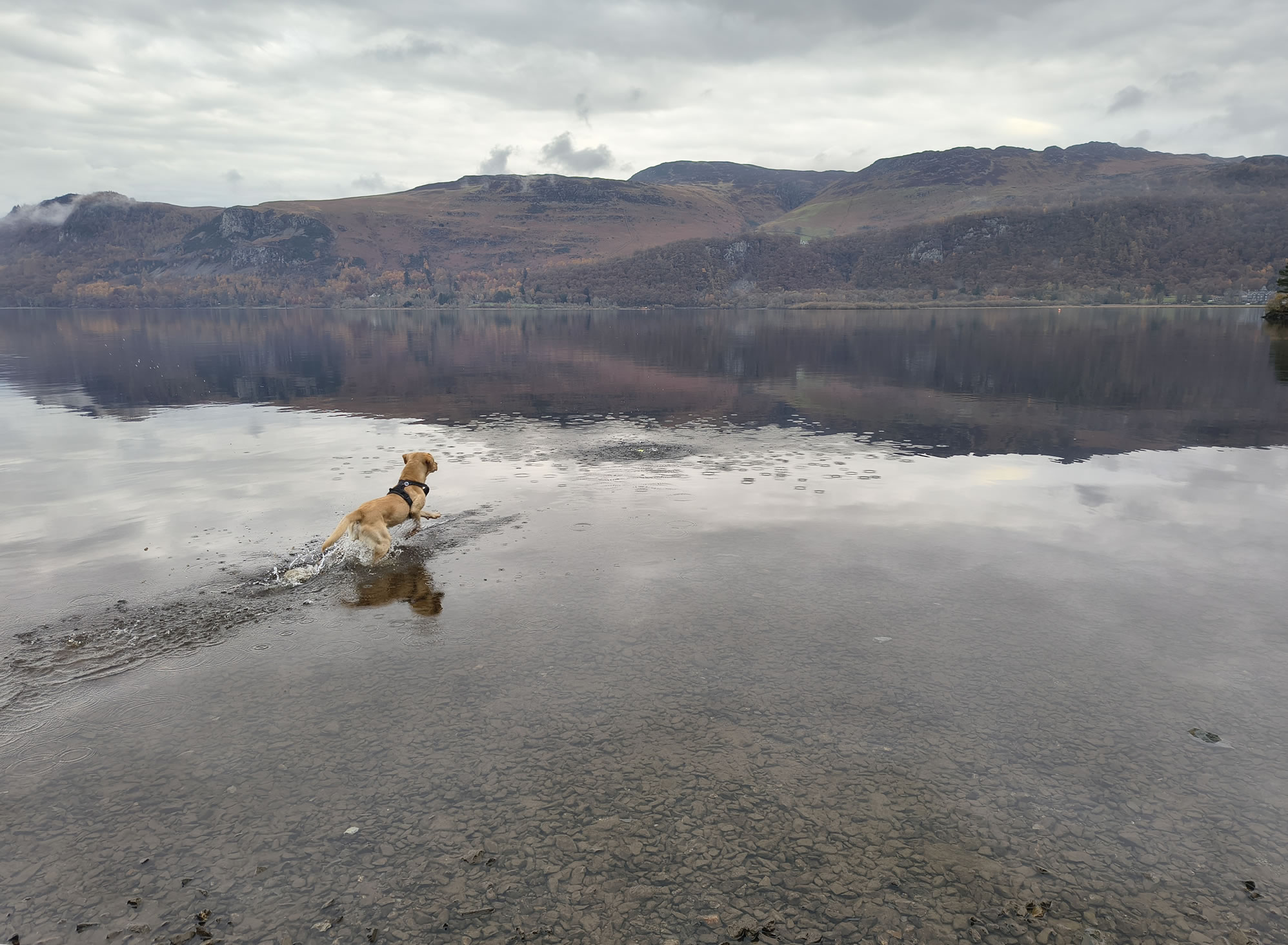
Paw REX SAYS: It was odd walking in and above the clouds. Quite a few people on Cat Bells but almost no-one after that. I had a good swim and play in Derwent Water at the end
  Sunny spells through cloud, cold  

After an early walk around Portinscale to assess the weather, we delay our start to 9:15 and decide to climb the Cat Bells High Spy ridge. I'm hoping that at some point we'll get above today's very low drifting clouds. In the event we were treated to some fantastic cloud formations and an inversion.

High Spy, Derwent Water - Image 2, Nov 08, 2026

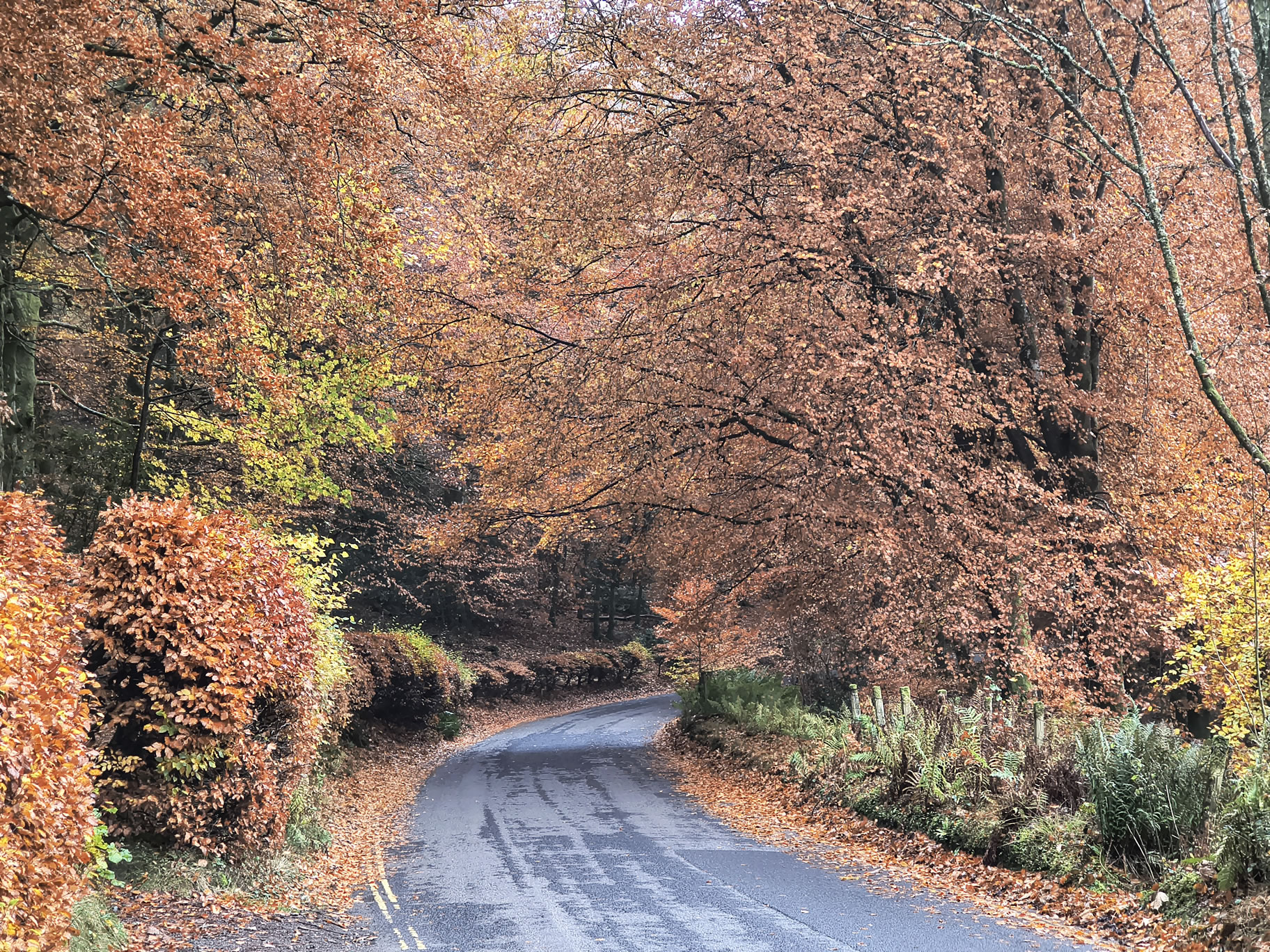
Walking from Portinscale and enjoying the autumnal colours. Turnoff to Lingholm is just here on the left

High Spy, Derwent Water - Image 3, Nov 08, 2026

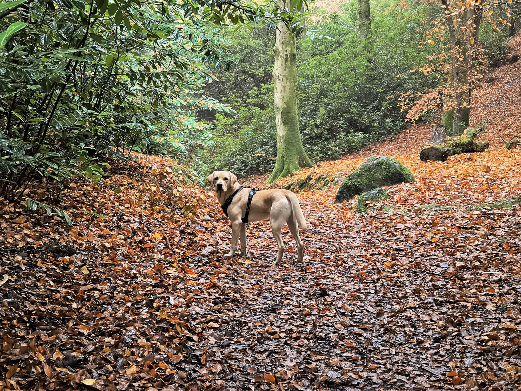
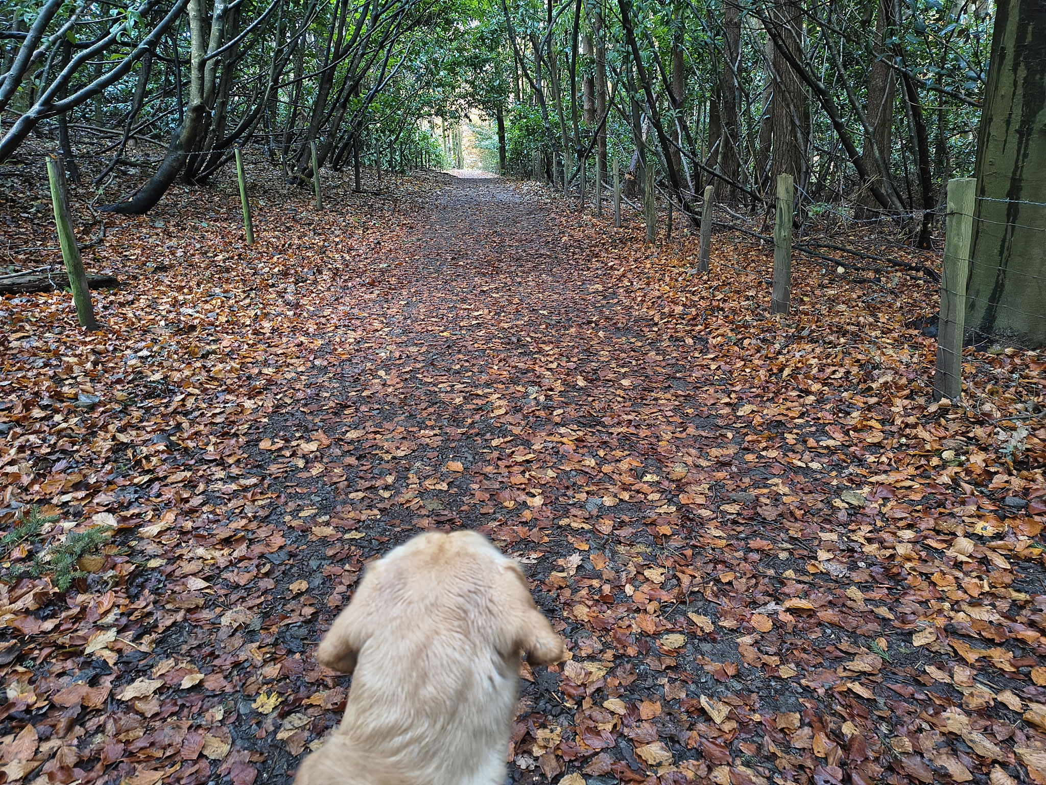
Rex enjoying Lingholm woods

High Spy, Derwent Water - Image 4, Nov 08, 2026

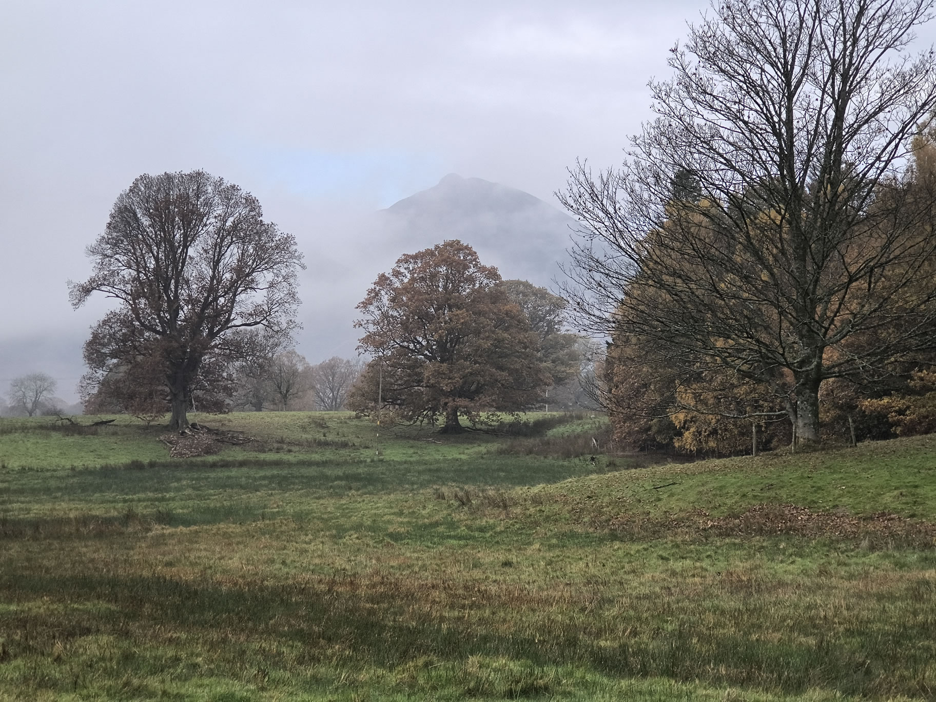
Causey Pike comes in and out of view

High Spy, Derwent Water - Image 5, Nov 08, 2026

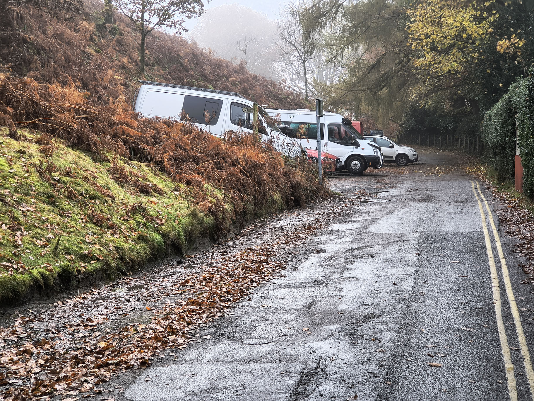
Gutherscale car parking area to the NW of Cat Bells (one space left). In an uncharacteristic flash of laziness I had considered driving to this point. Of course an advantage of being in Portinscale is leaving the car behind

High Spy, Derwent Water - Image 6, Nov 08, 2026

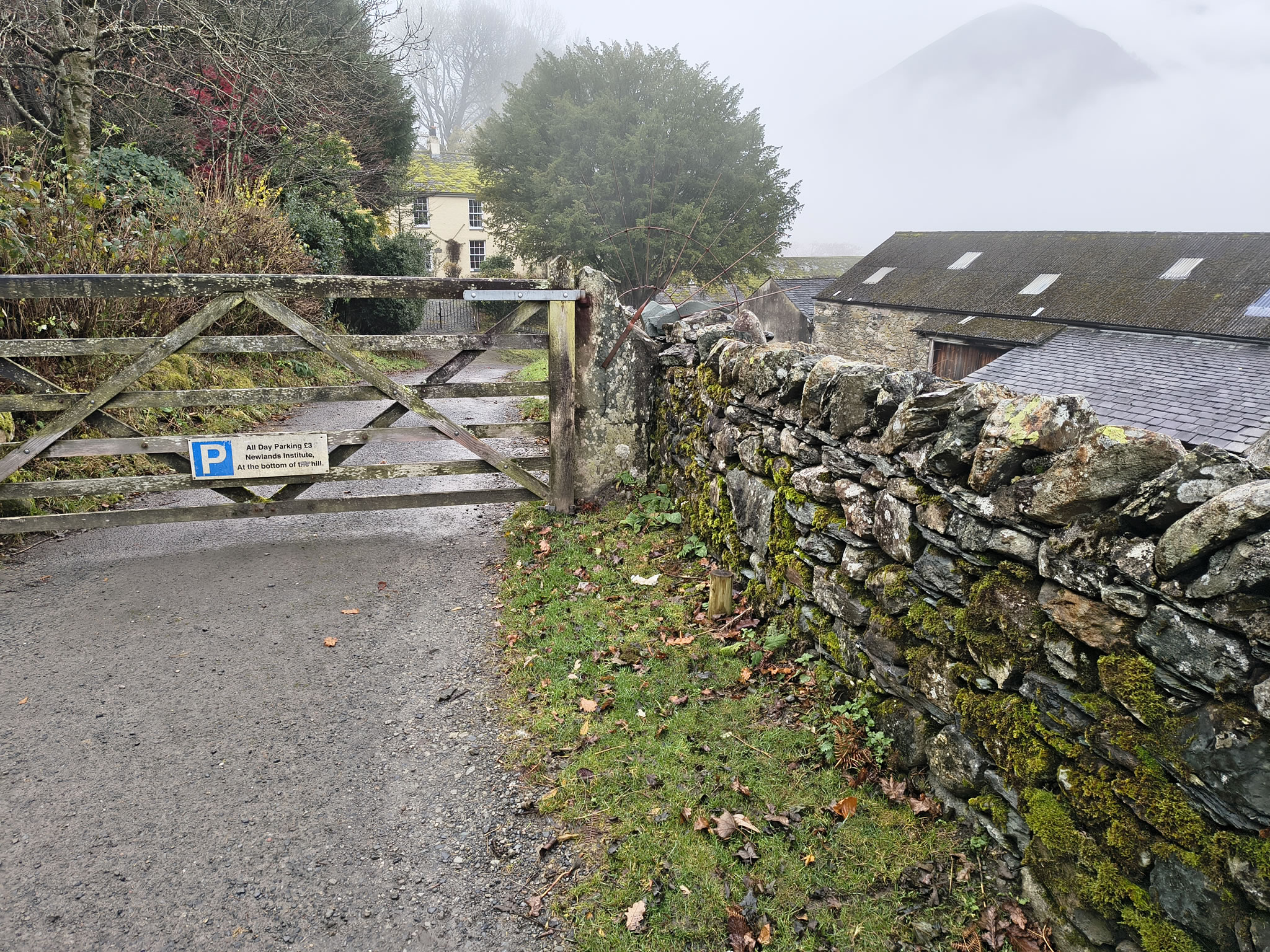
Skelgill. A special place for me with many happy memories of John and Peggy, and Gavin. Lovely friendly people, cooked breakfasts and hot evening meal.
When I was a child I remember 'helping' Gavin with the sheep dipping. Rumour has it that as a baby I once slept in a chest of drawers upstairs.
No doubt a child-protection solicitor would be happy to run with that in today's world !
I was pleased to meet Gavin and Laura earlier this year

High Spy, Derwent Water - Image 7, Nov 08, 2026

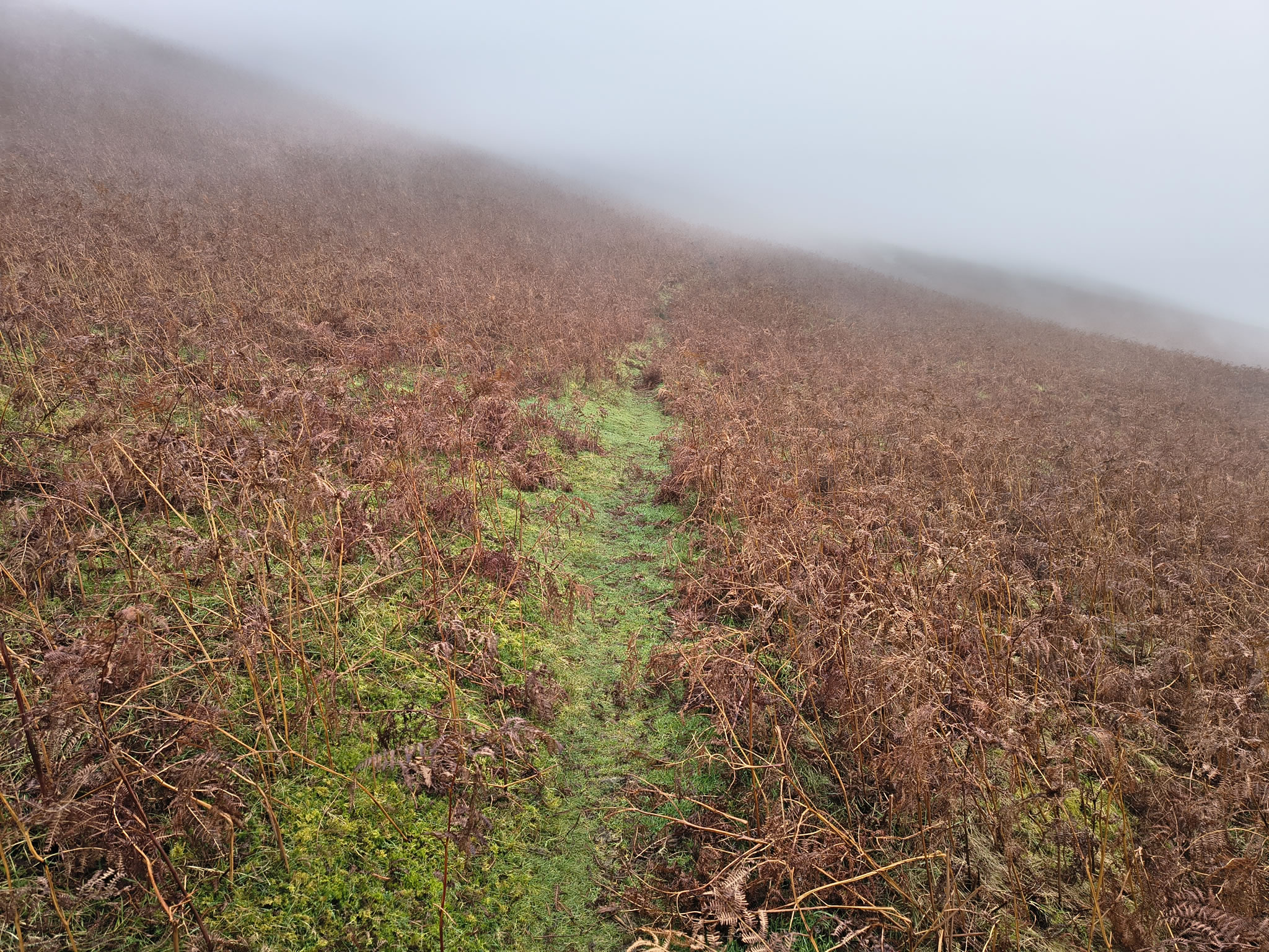
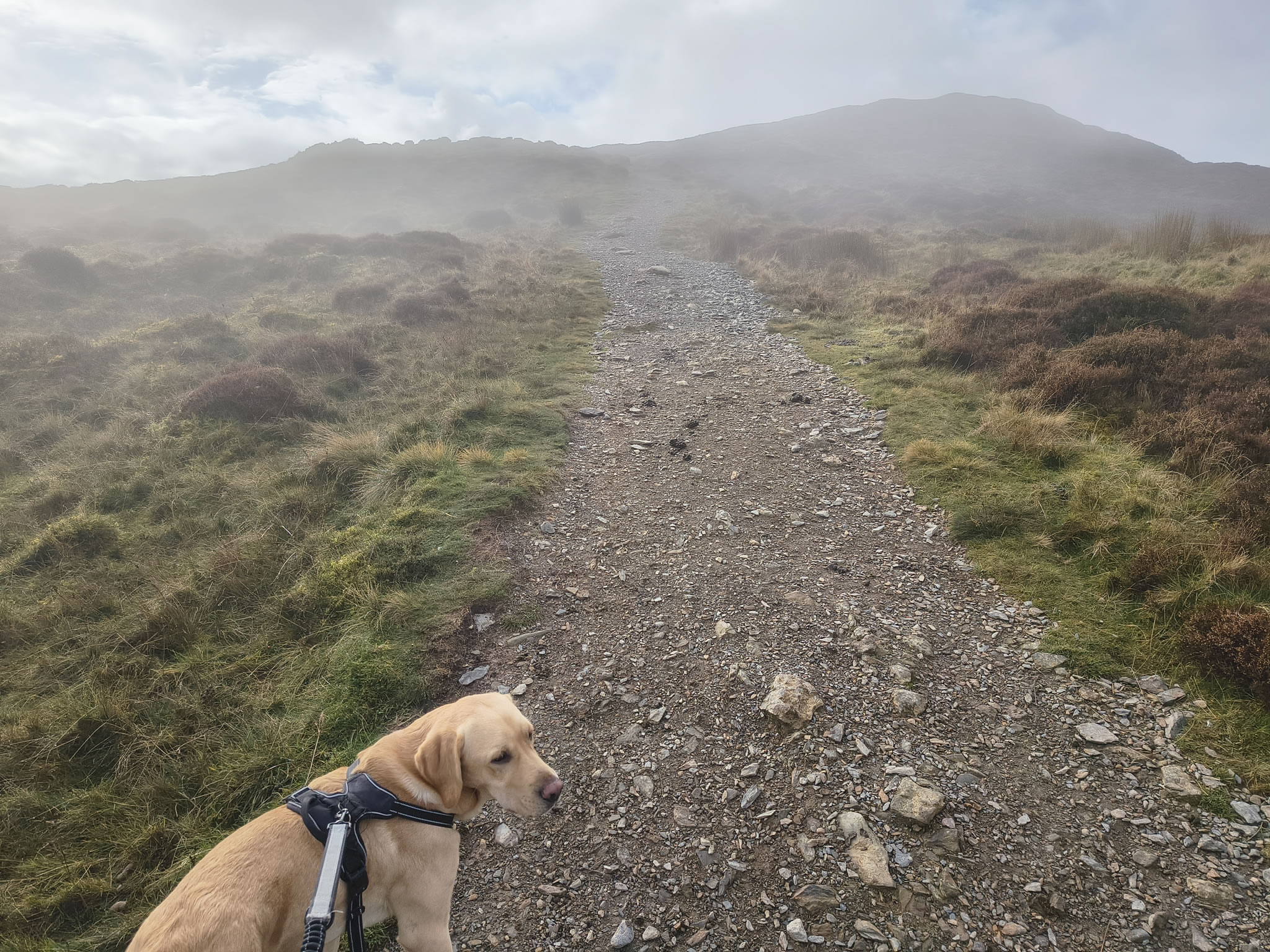
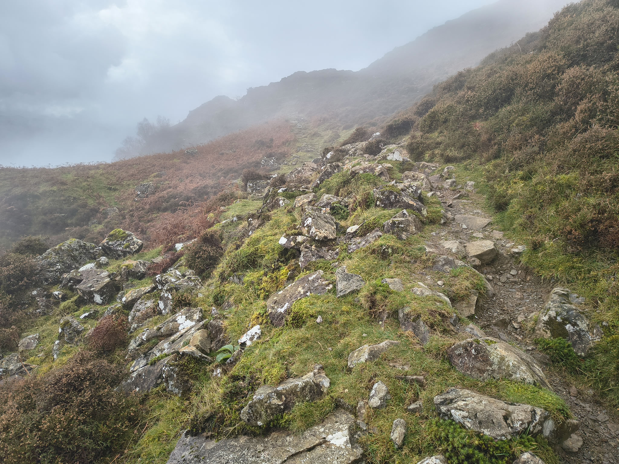
The less popular ascent of Cat Bells via Skelgill Bank. We are in clouds/mist

High Spy, Derwent Water - Image 8, Nov 08, 2026

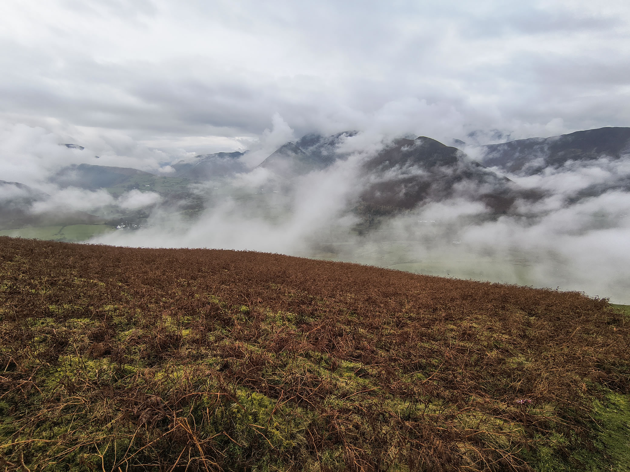
Looking across the valley

High Spy, Derwent Water - Image 9, Nov 08, 2026

As the clouds close in, we feel oddly alone and peaceful on Cat Bells.

High Spy, Derwent Water - Image 10, Nov 08, 2026

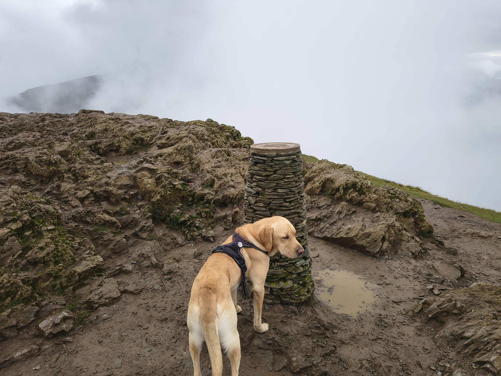
Cat Bells summit. There are some hikers, although fewer than usual.

High Spy, Derwent Water - Image 11, Nov 08, 2026

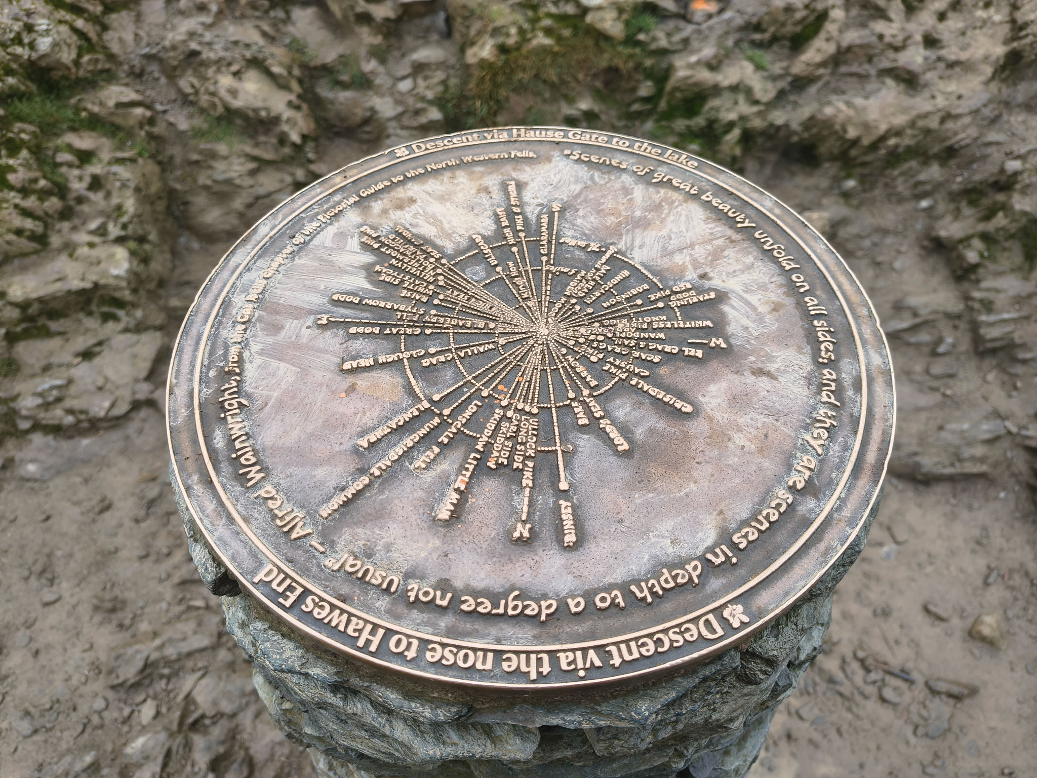
Nearby we saw a touching silver plaque tribute to 'G'. We respect their privacy

High Spy, Derwent Water - Image 1, Nov 08, 2026

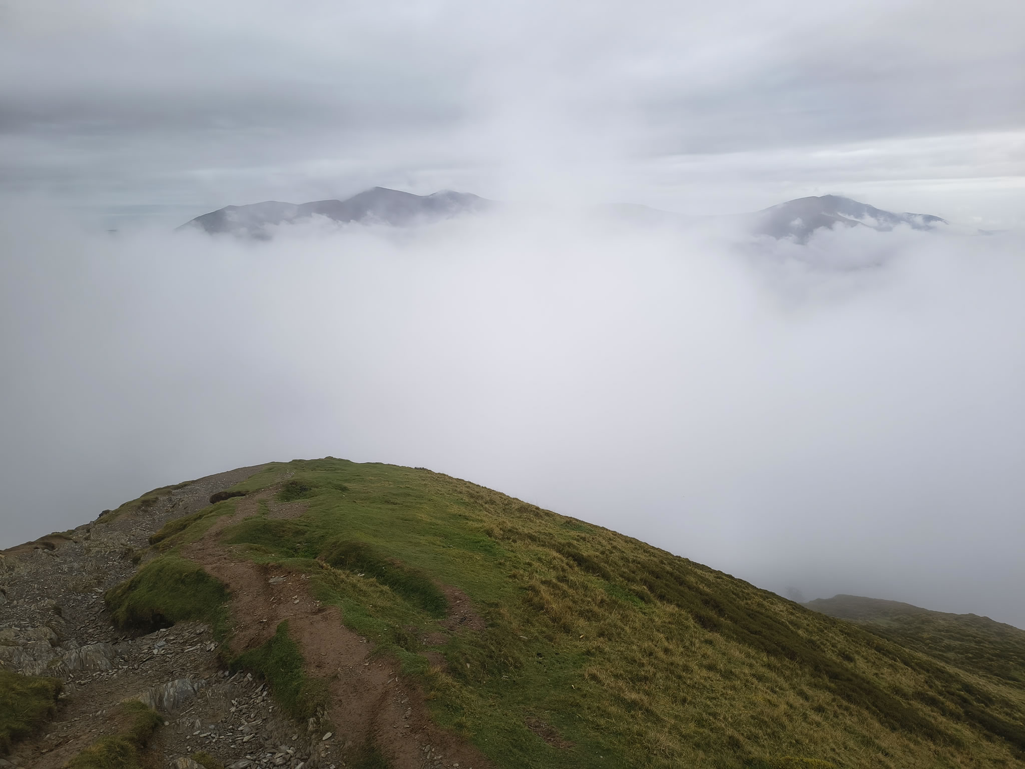
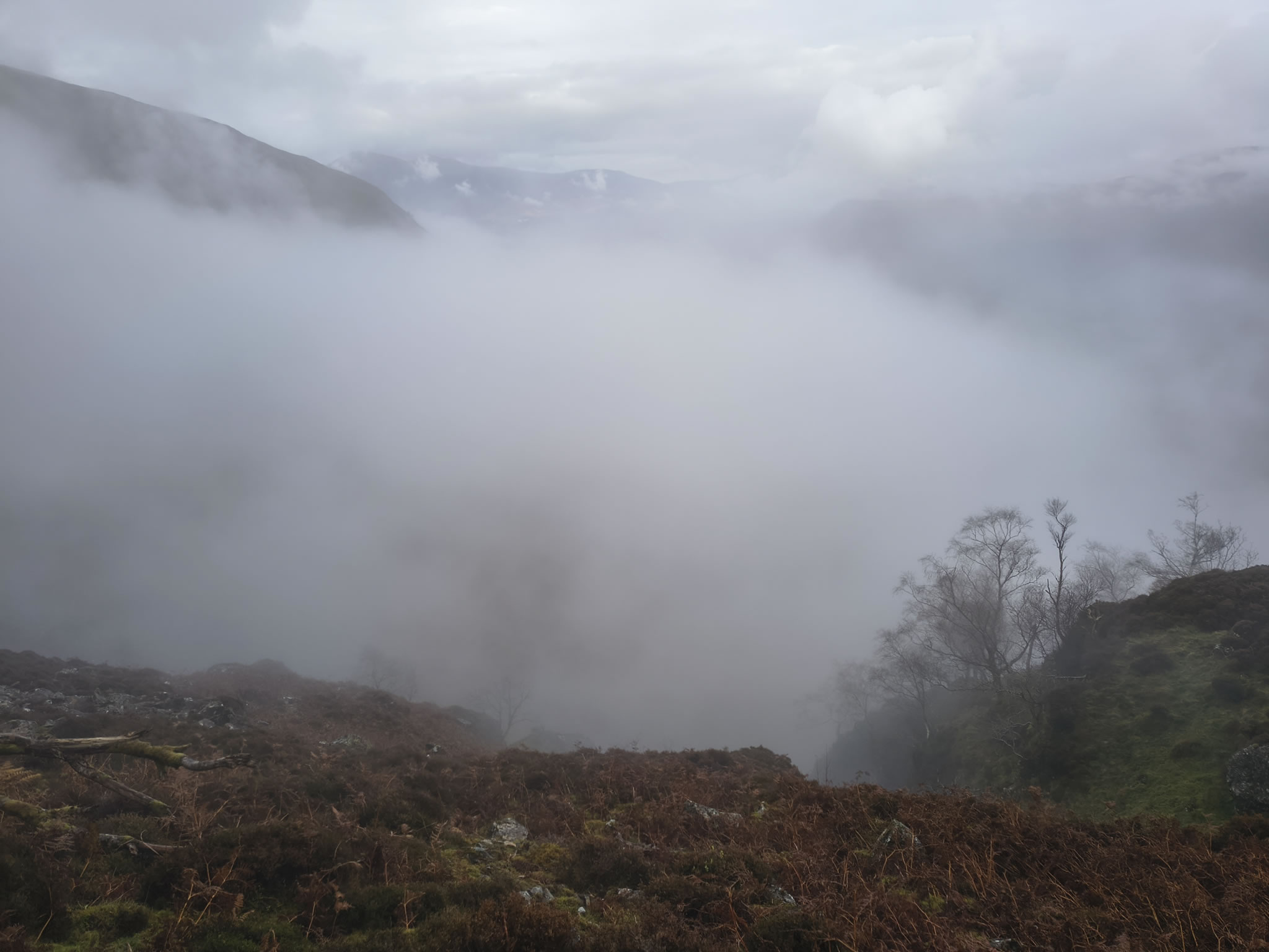
We stop for a quick break. Much of the cloud is below us and it is eerily quiet

High Spy, Derwent Water - Image 12, Nov 08, 2026
High Spy, Derwent Water - Image 13, Nov 08, 2026

After dropping down to the col, we start the climb to Maiden Moor and are once again in the drifting clouds

High Spy, Derwent Water - Image 14, Nov 08, 2026

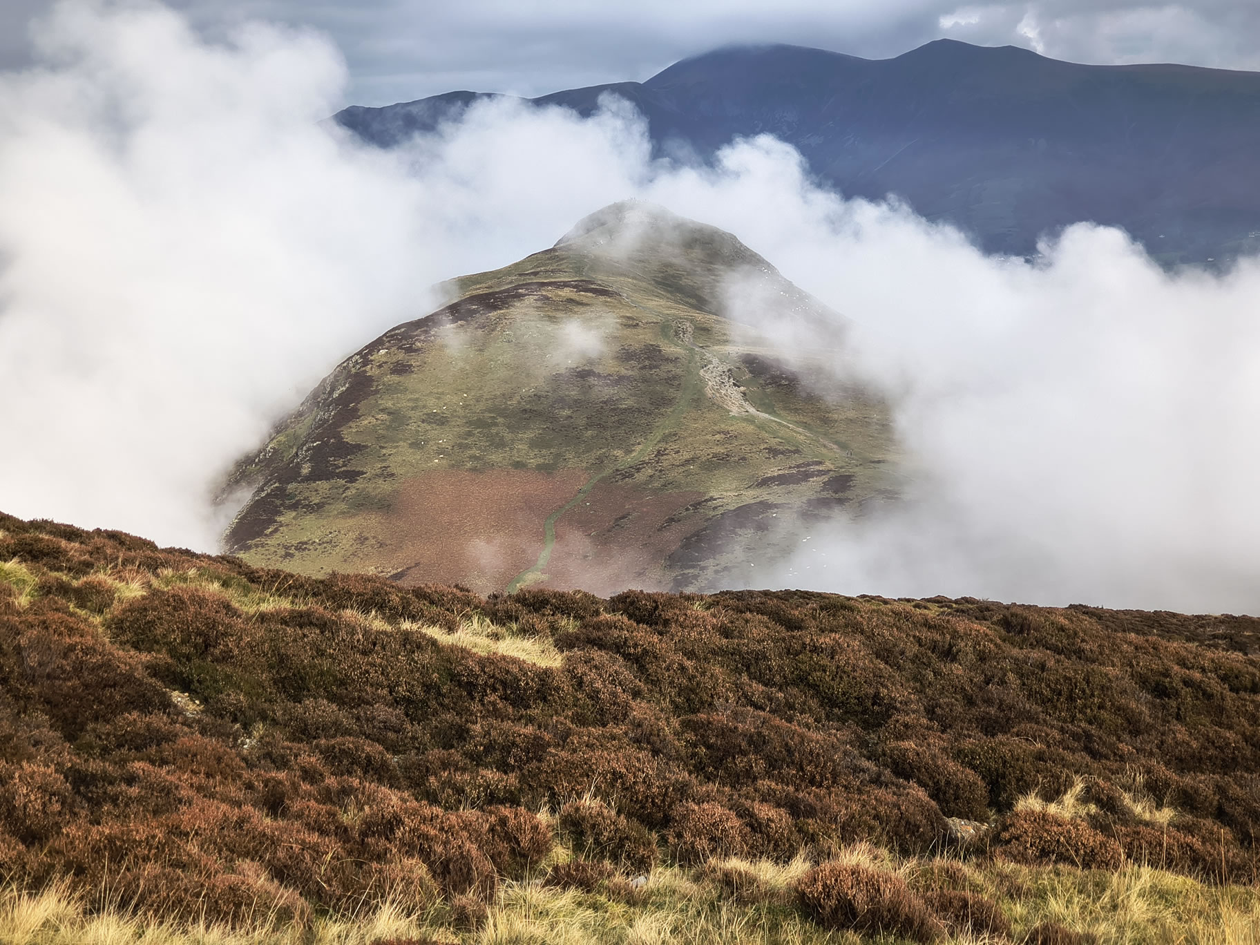
A compelling illustration that it is always worth stopping every now and again to look behind. Cat Bells looks like a surfacing Humpback Whale

High Spy, Derwent Water - Image 15, Nov 08, 2026

So far as we could tell, this is the summit of Maiden Moor. There was no one to tell us different on this largely featureless plateau

High Spy, Derwent Water - Image 16, Nov 08, 2026

On the way to High Spy, we make a small diversion to Blea Crag

High Spy, Derwent Water - Image 17, Nov 08, 2026

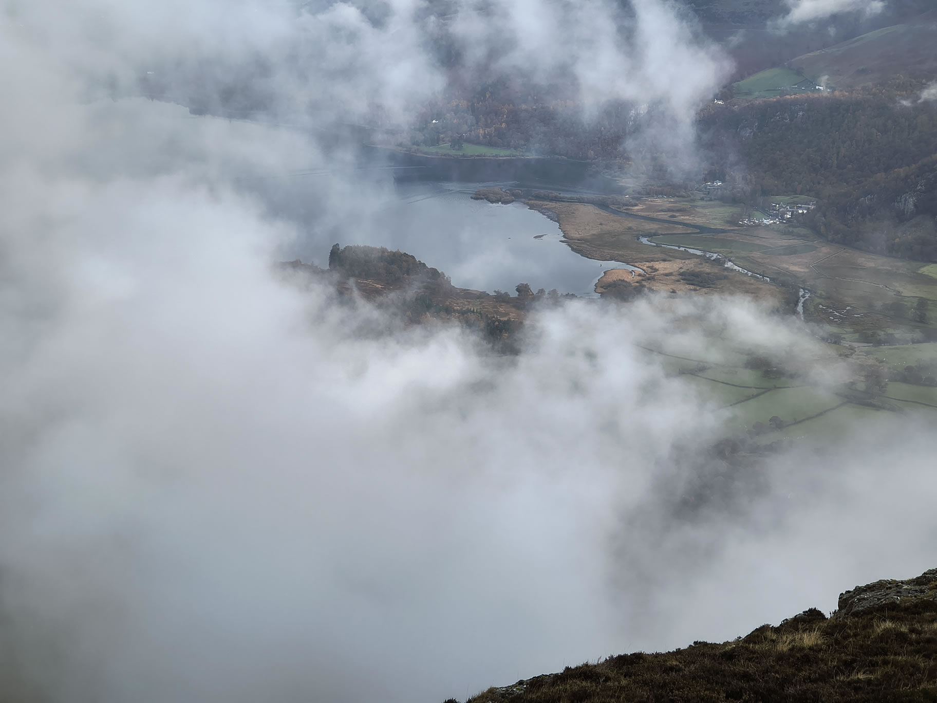
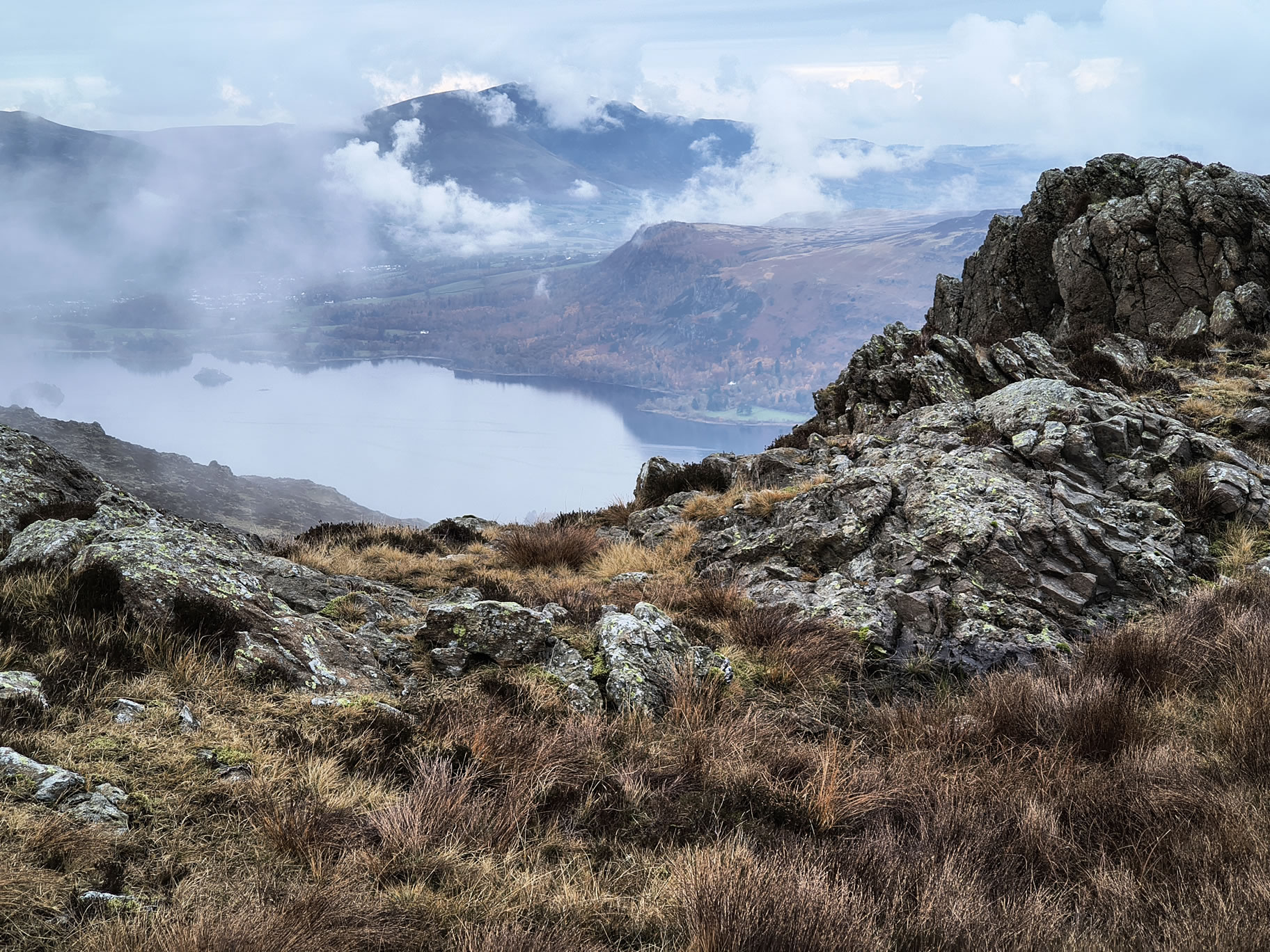
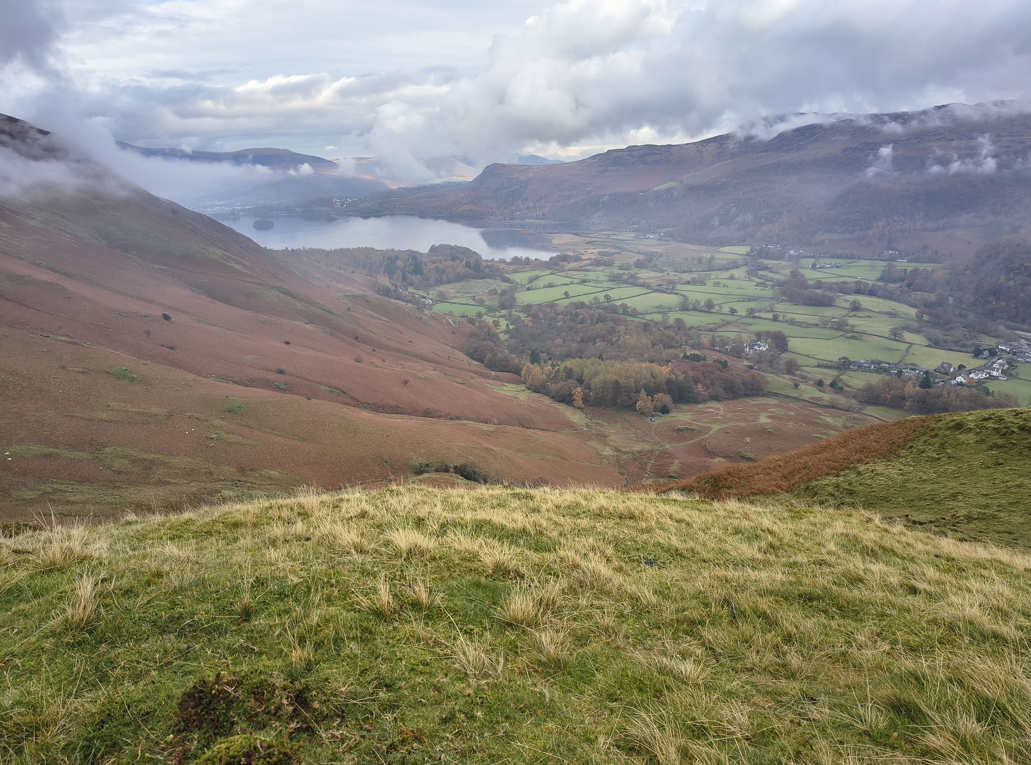
A brief glimpse of the far southern end of Derwent Water
High Spy, Derwent Water - Image 18, Nov 08, 2026

From Blea Crag it's only a short hop to High Spy

High Spy, Derwent Water - Image 19, Nov 08, 2026

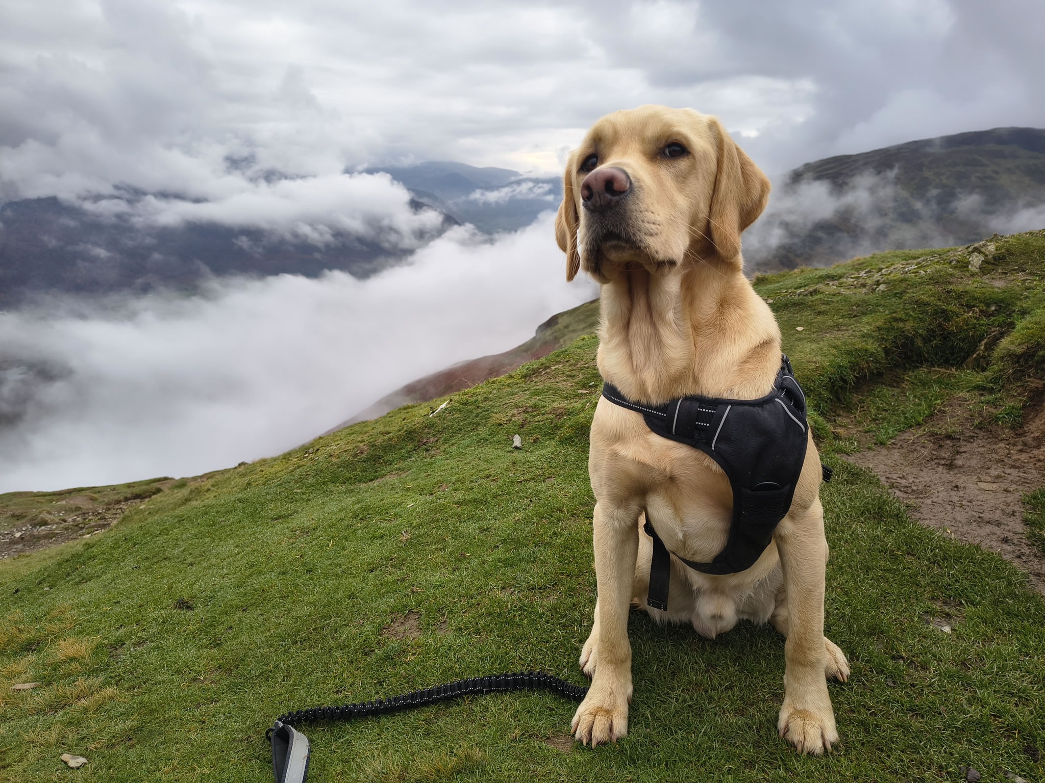
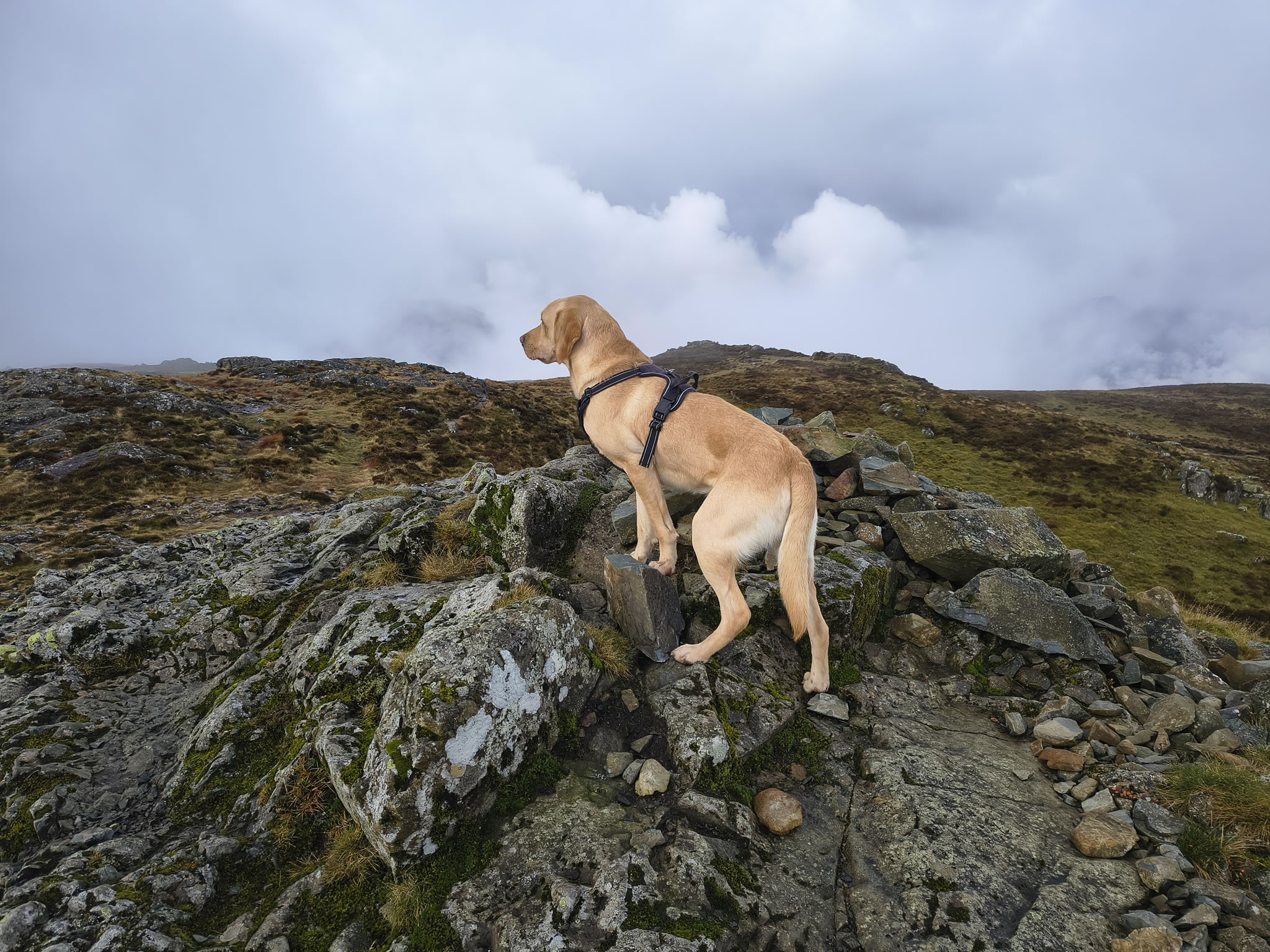
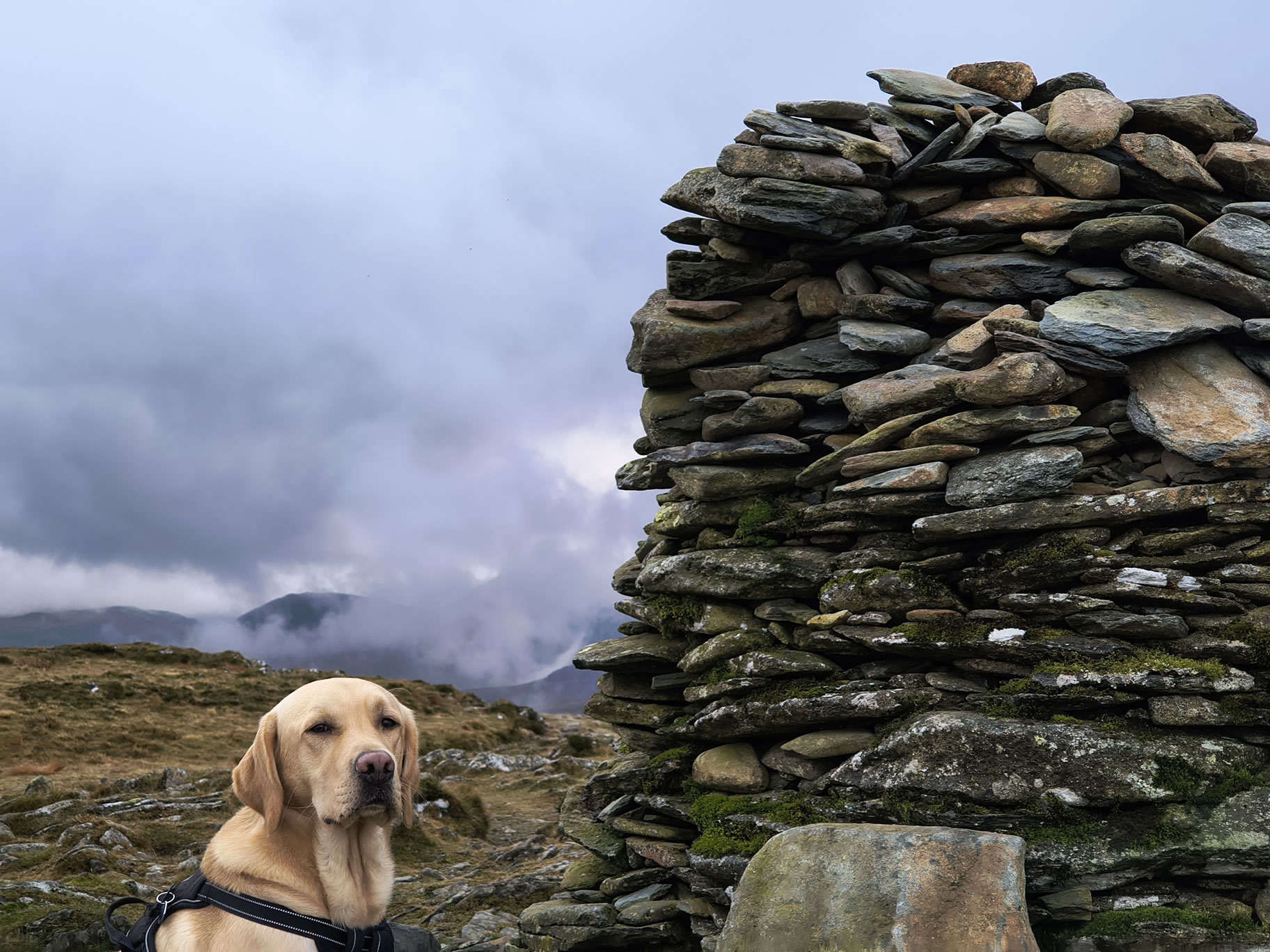
Rex at High Spy. Dale Head, Hindscarth and Robinson are all in cloud

High Spy, Derwent Water - Image 20, Nov 08, 2026

We roam around the summit of High Spy for a while and catch this break in the cloud from near to Minum Crag

High Spy, Derwent Water - Image 21, Nov 08, 2026

I don't remember if I've ever taken this path before. It leads from High Spy East and North to Manesty

High Spy, Derwent Water - Image 22, Nov 08, 2026

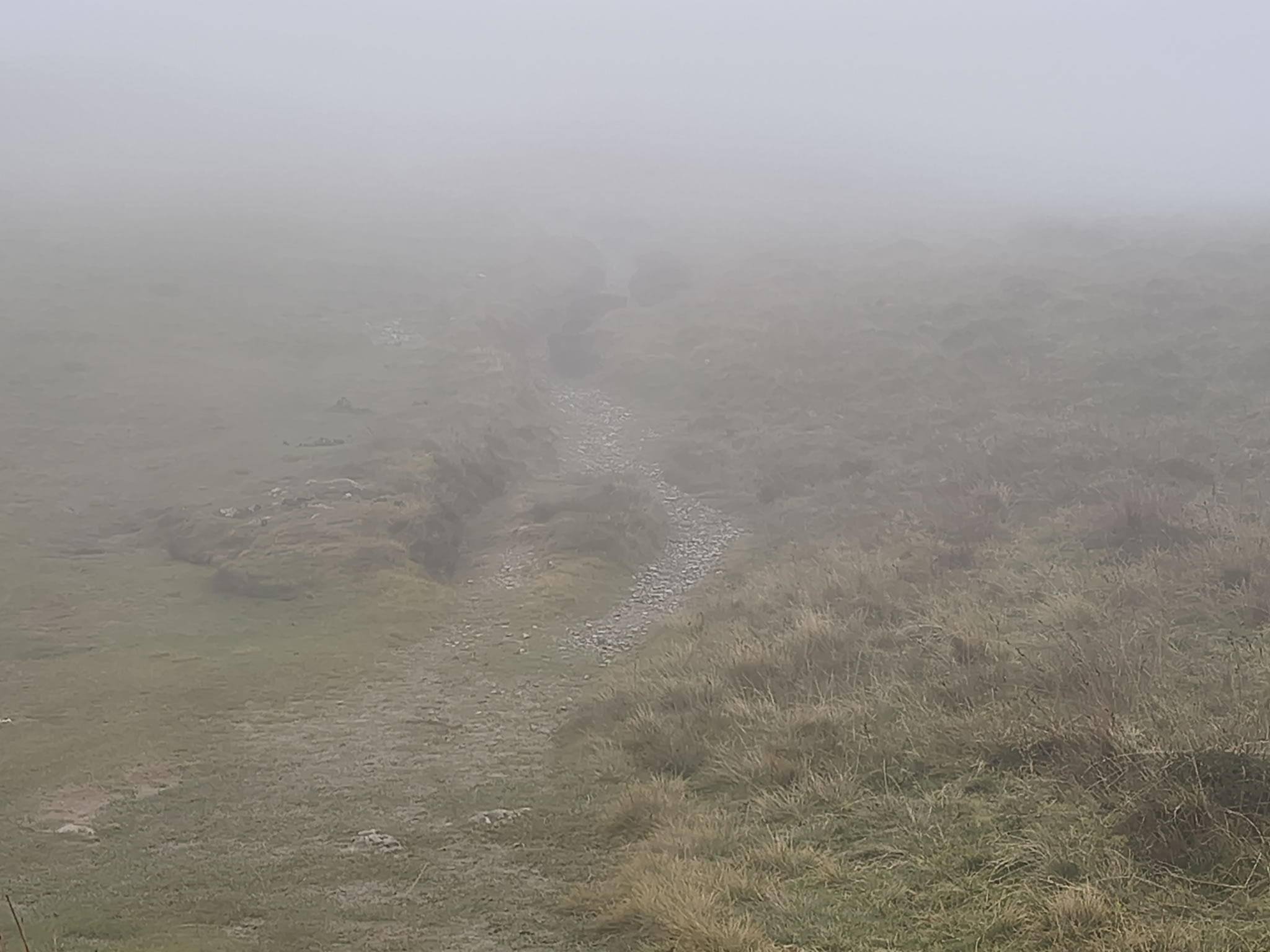
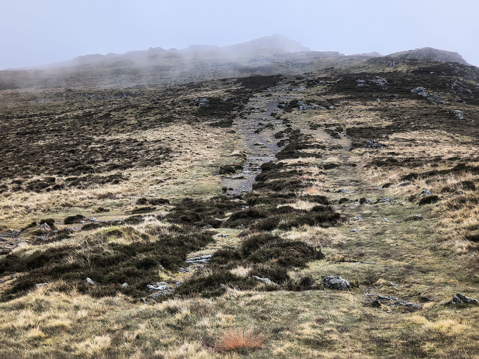
I'd like to stop for lunch, but am hoping to do so with a view...

High Spy, Derwent Water - Image 23, Nov 08, 2026
High Spy, Derwent Water - Image 24, Nov 08, 2026

Another 15 mins and we are in the clear. We have decent lunch break here, somewhere near Low White Rake. Most of the climbing is over but we still have over 5 miles to go before reaching Portinscale

High Spy, Derwent Water - Image 25, Nov 08, 2026

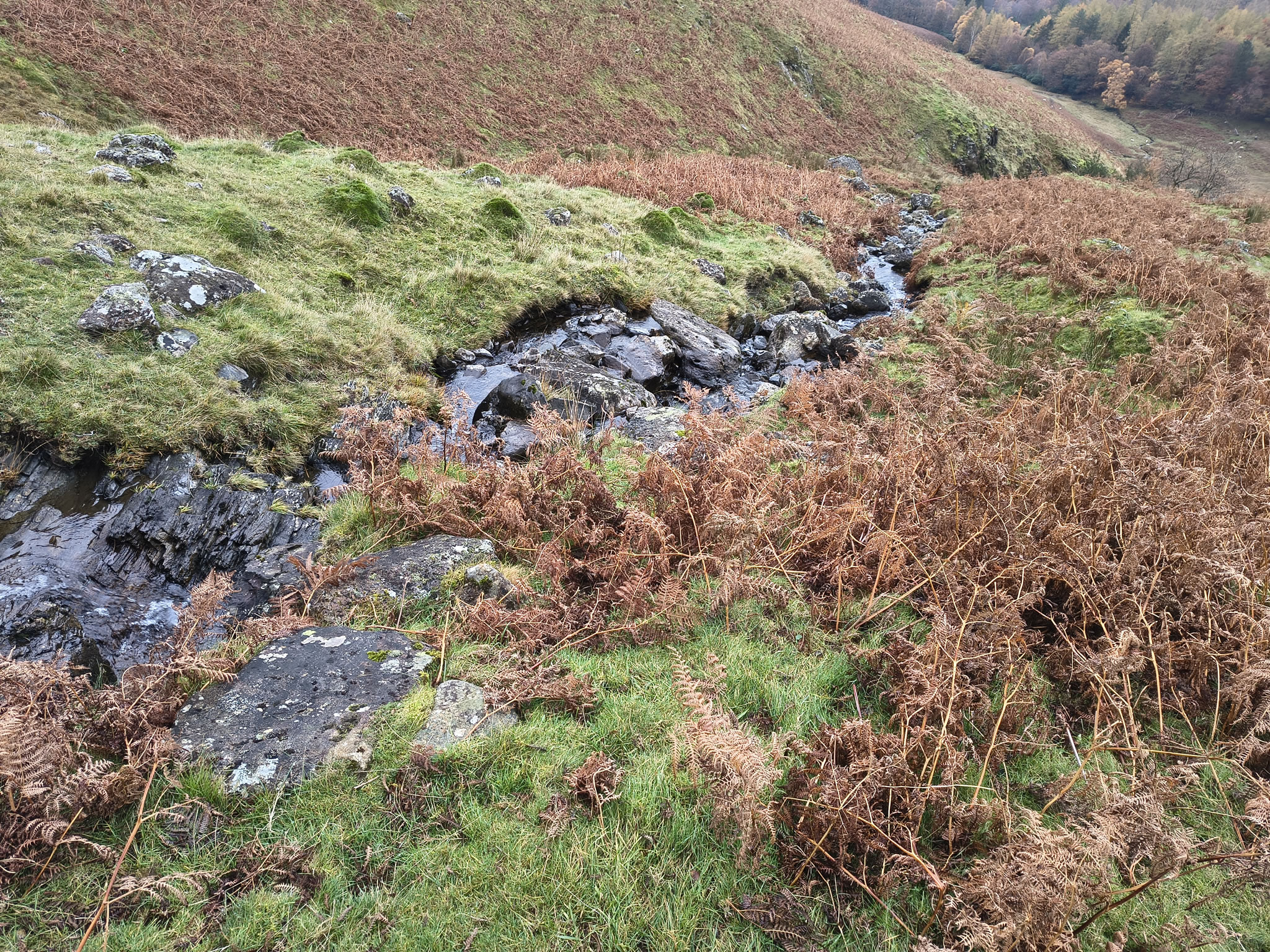
Around Greenup Sikes, we descend next to the water for a while

High Spy, Derwent Water - Image 26, Nov 08, 2026

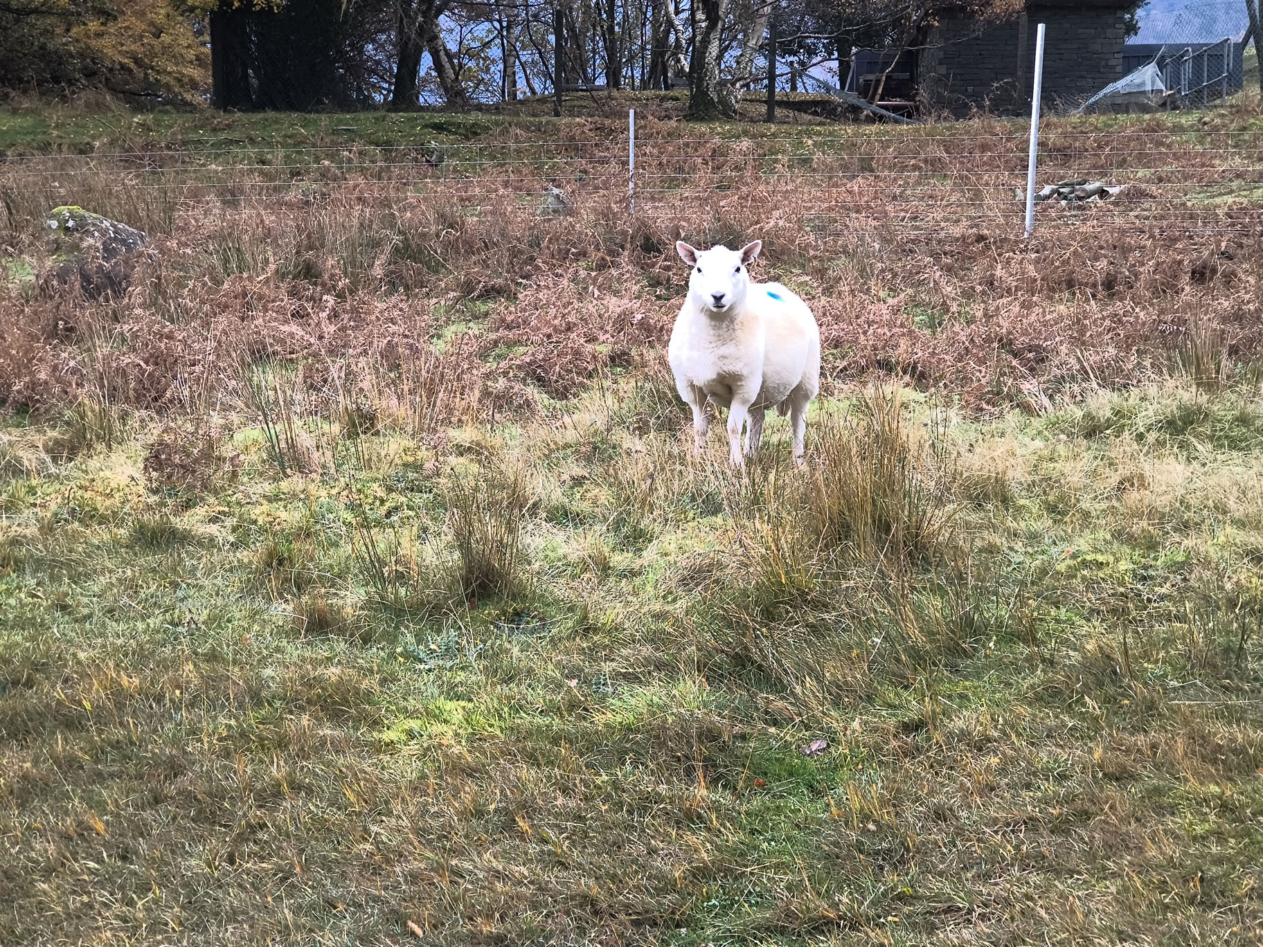
Rex on the lead for loose sheep near High Close

High Spy, Derwent Water - Image 27, Nov 08, 2026

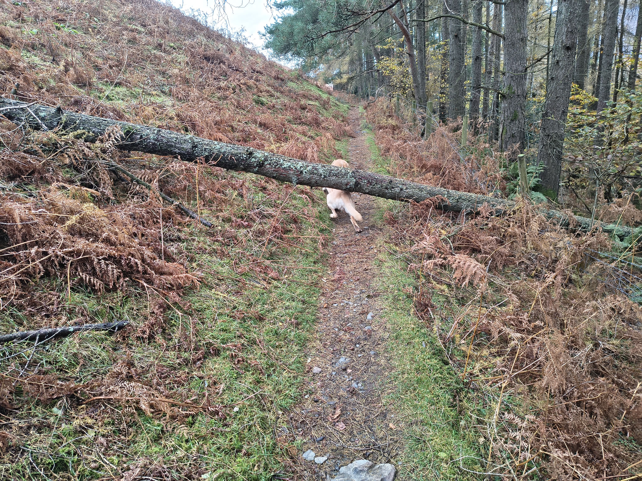
Soon they are behind us and he is free again. Limboing under this fallen tree

High Spy, Derwent Water - Image 28, Nov 08, 2026

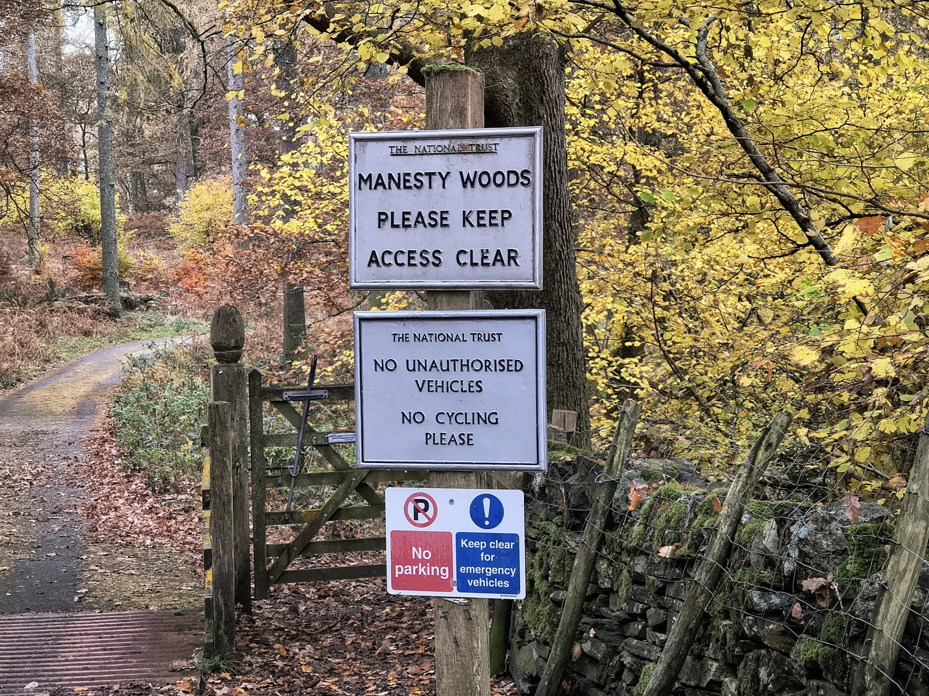
Arriving at Manesty Woods by around 2pm

High Spy, Derwent Water - Image 29, Nov 08, 2026

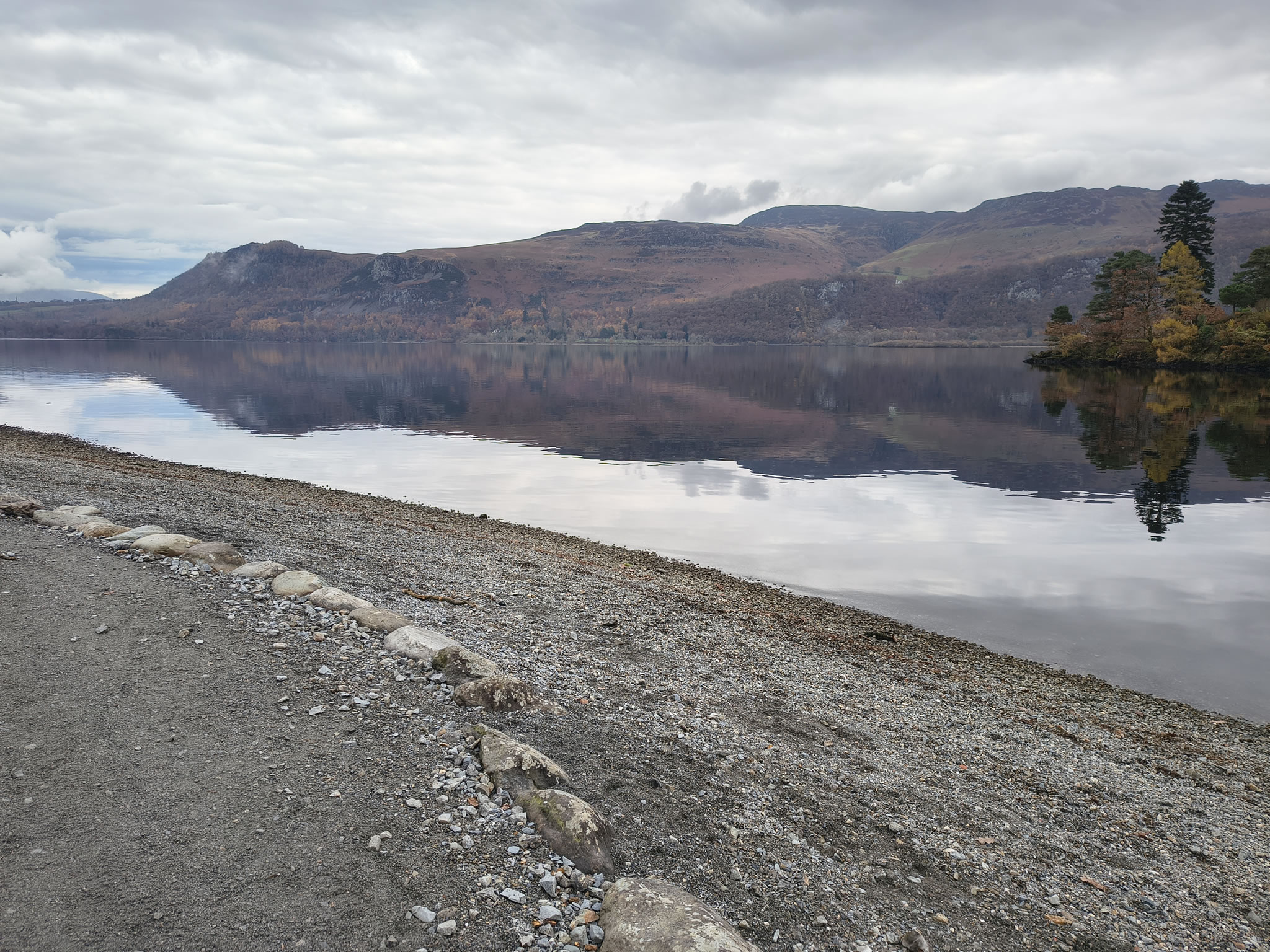
We stop at Brandelhow Bay for Rex

High Spy, Derwent Water - Image 30, Nov 08, 2026

who enjoys the extra exercise!

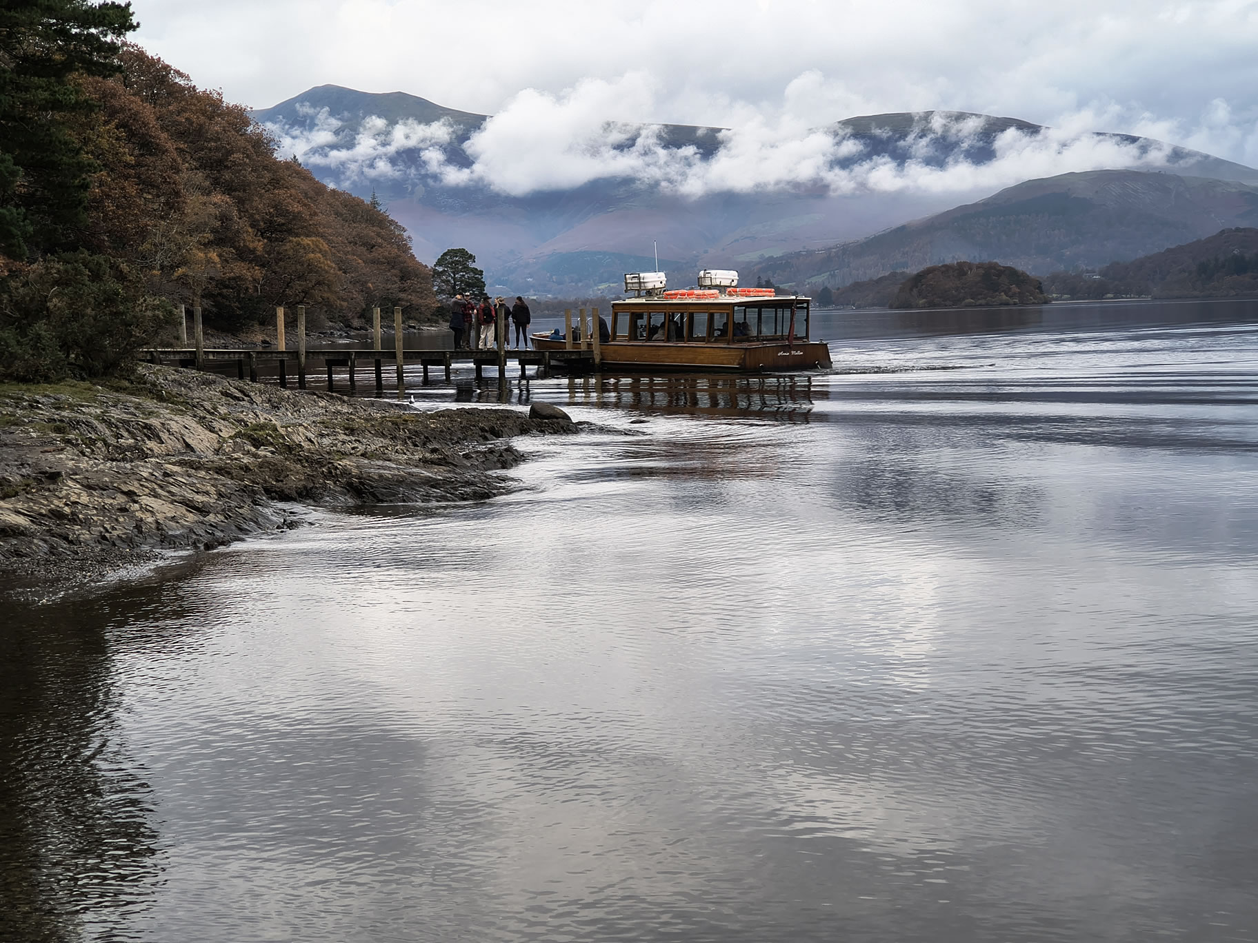
The clockwise launch arrives at Brandelhow while we are there

High Spy, Derwent Water - Image 31, Nov 08, 2026

The launch

High Spy, Derwent Water - Image 32, Nov 08, 2026

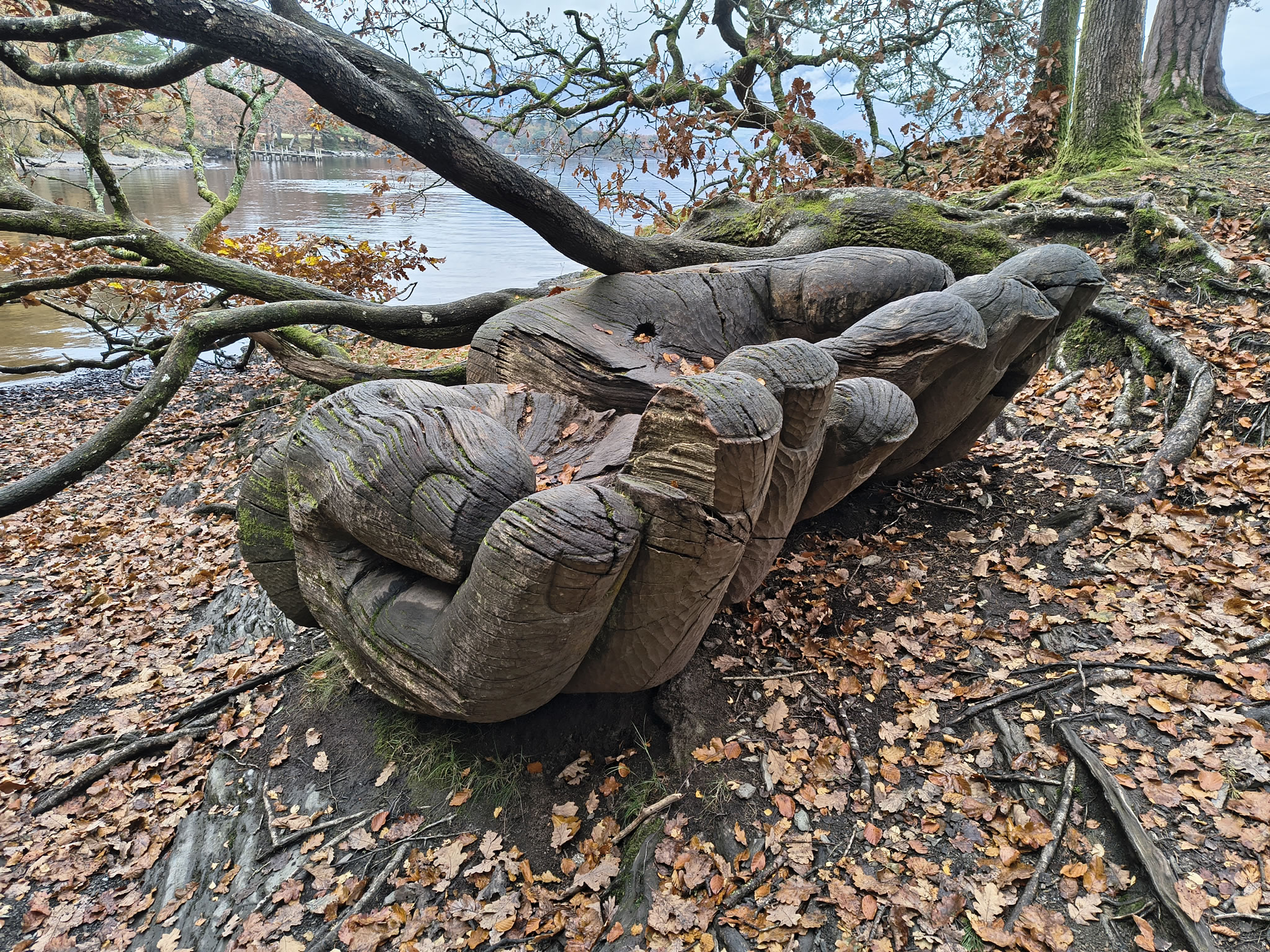
The amazing hands sculpture ('Entrust', by John Merrill)

High Spy, Derwent Water - Image 33, Nov 08, 2026

Closer to home now, just past Hawse End Outdoor Centre

High Spy, Derwent Water - Image 34, Nov 08, 2026

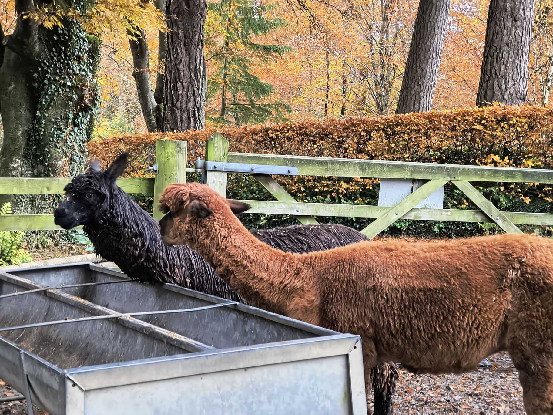
The alpacas at Lingholm, just a quick walk through Lingholm Woods now

Rex is eager to prove that he's not even tired!


Start: Portinscale

1) Honister Rambler bus from Keswick (you can stay on the bus to 'Cattle Grid' if heading for Cat Bells or Newlands Horseshoe)
2) Limited parking in Portinscale, or car park further on at Lingholm [Grid Ref: NY 25165 22357] [GPS 54.590838, -3.159623] View on map

Route

Portinscale, Lingholm, Skelgill, Cat Bells, Maiden Moor, High Spy, Manesty, Brandelhow
Distance 11.45 miles, Time 6.21 h, Total Ascent 2,864 ft
Wainwright Pictorial Guide: The North Western Fells

Fells

Cat Bells 1,480 ft
Maiden Moor 1,890 ft
High Spy 2,142 ft

Please do your own research to verify current routes and information on car parking, bus services and so on
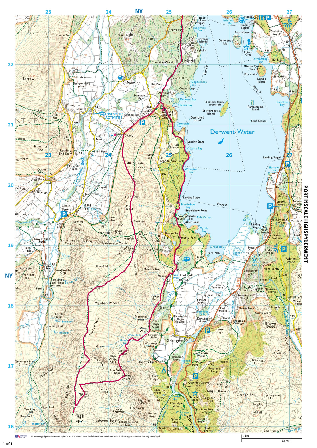
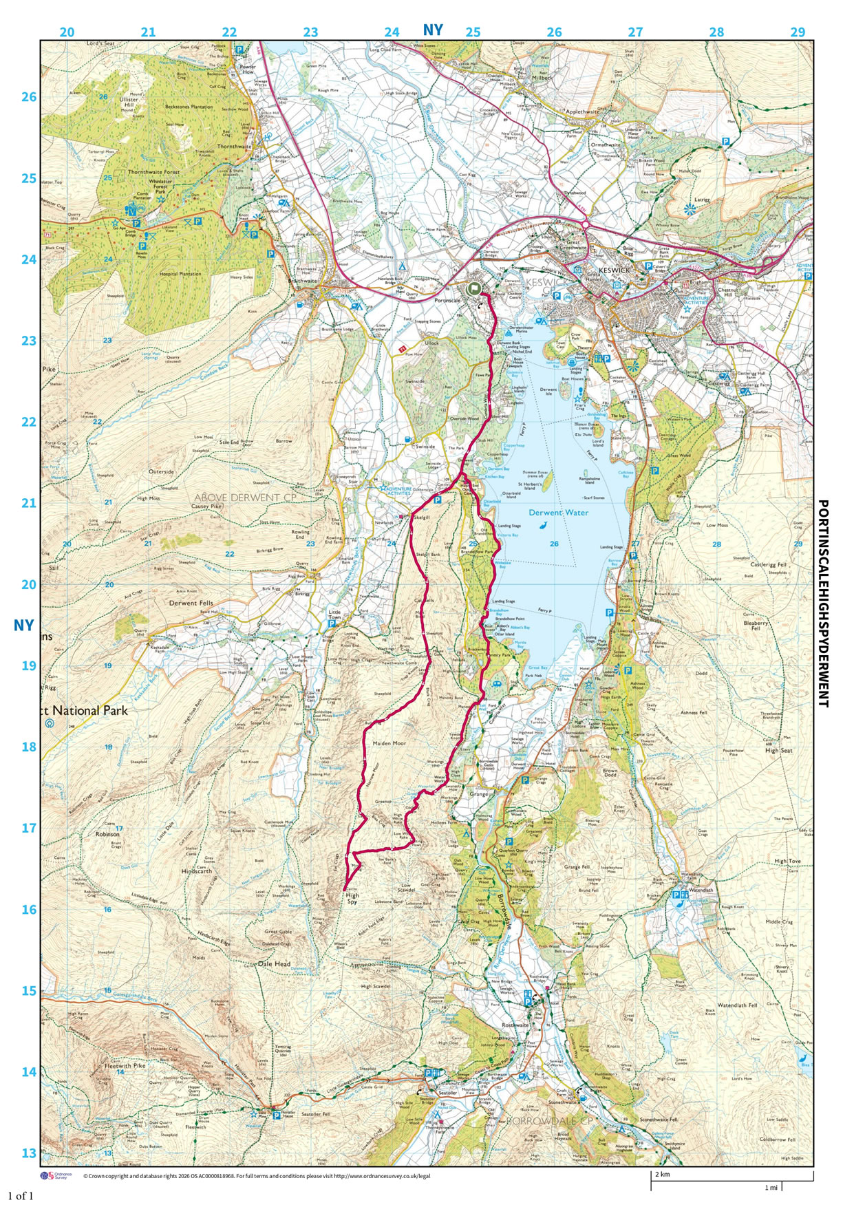
Route maps from Ordnance Survey are scaled 1:25000 unless otherwise indicated.
Distance, Hike Time and Total Ascent as supplied by OS. Image shows planned route.
The first route map starts at Lingholm, second one shows full route at scale 1:50000

Distance 11.45 miles, Time 6.21 h, Total Ascent 2,864 ft
Route Map and Details


  You are viewing in STD mode for standard images. If you wish to see HD full size images, click here


Full-size image