HD: screen narrow    STD: screen is wide, you could benefit from HD 

    Great Gable, Hay Stacks [W] GradeGradeGradeGrade
In memory of Indy
PREV      NEXT
SOLO    Sep 08, 2025 Honister, Grey Knotts, Brandreth, Green Gable, Windy Gap, Great Gable, Moses Trod, Hay Stacks Peaks, Dubs Quarry    Historical route: Moses Trod      
Distance 8.12 miles, Time 5.16 h, Total Ascent 3,304 ft     Imperial | Metric
  Clouds clearing  

The third of four walks in memory of Indy, who loved these fells so much.
A very similar walk to this one, with the difference that I tried to make it more of a circular route by coming off Great Gable to the NW rather than retracing to Windy Gap. That was quite a hairy and slippery descent, which explains the Grade 4 rating.

Great Gable, Hay Stacks - Image 2, Sep 08, 2025

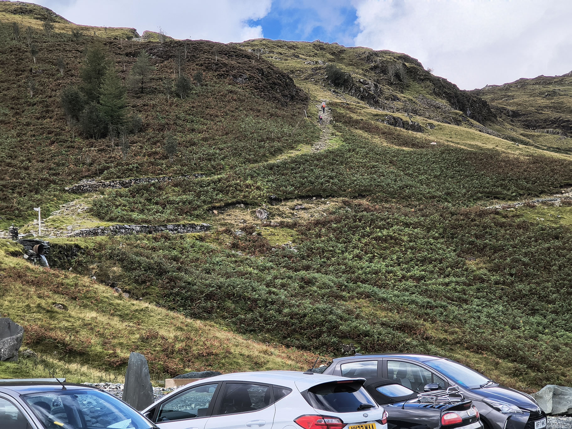
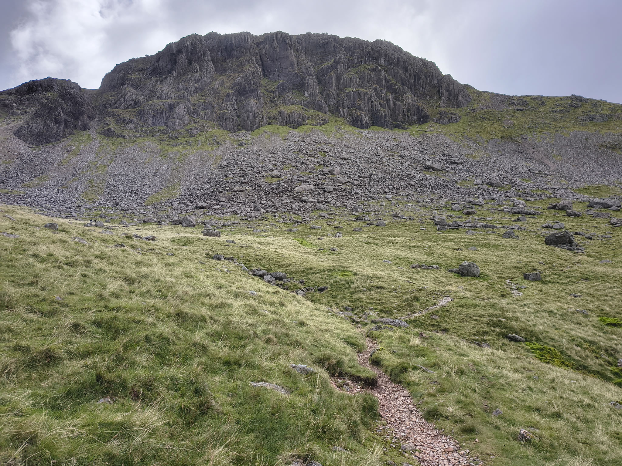
Start of the route up from Honister

Great Gable, Hay Stacks - Image 3, Sep 08, 2025

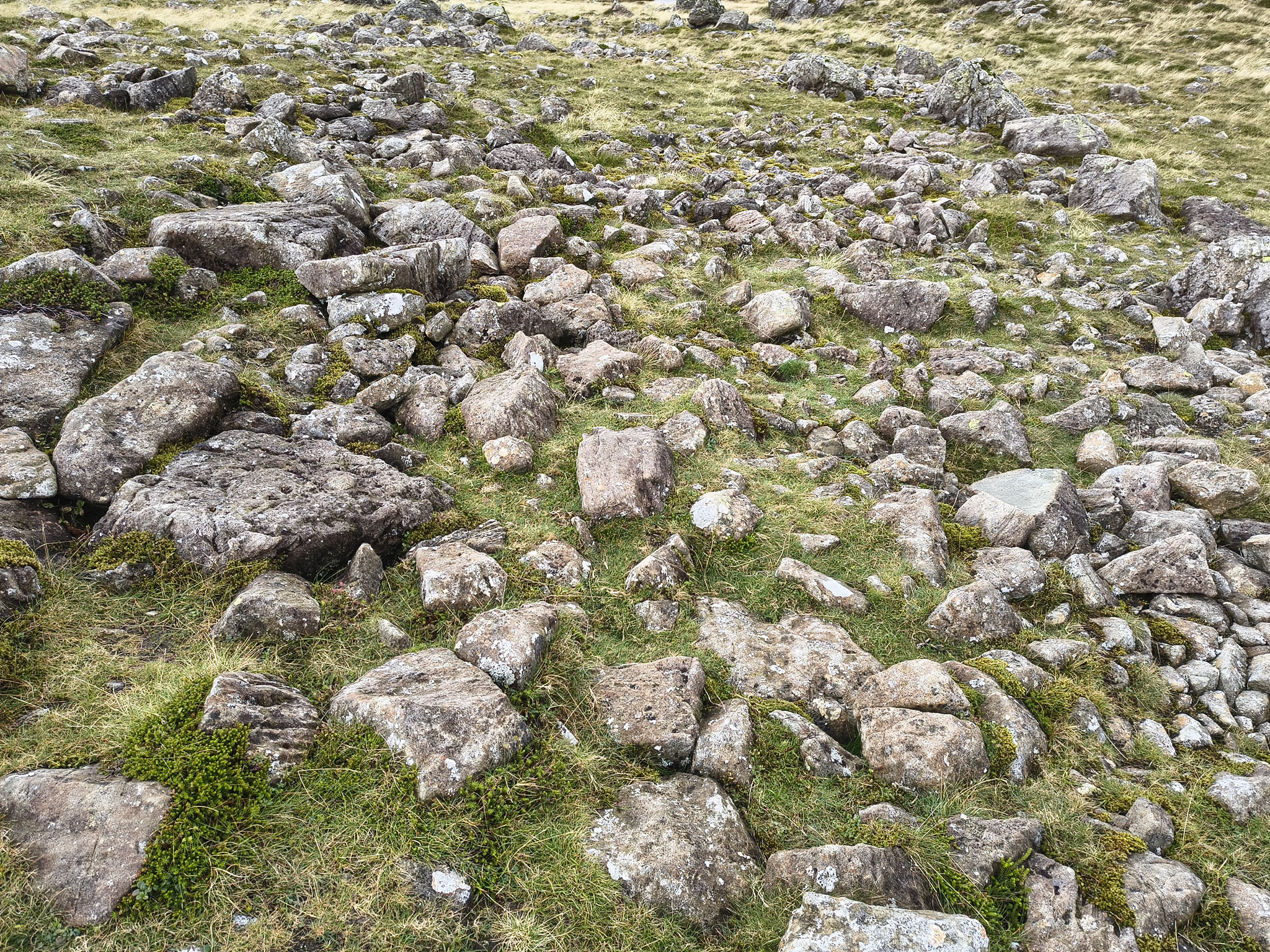
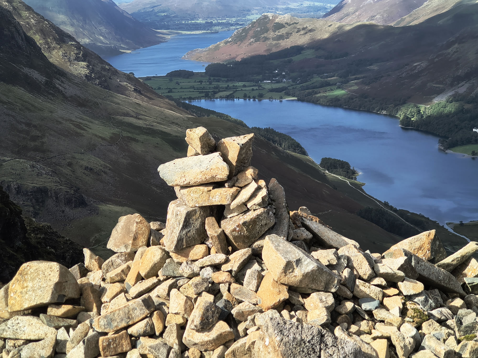
I can never resist taking a picture of "Piles of Stones" (see map)

Great Gable, Hay Stacks - Image 4, Sep 08, 2025

The summit of Brandreth with mighty Great Gable looming in the distance

Great Gable, Hay Stacks - Image 5, Sep 08, 2025

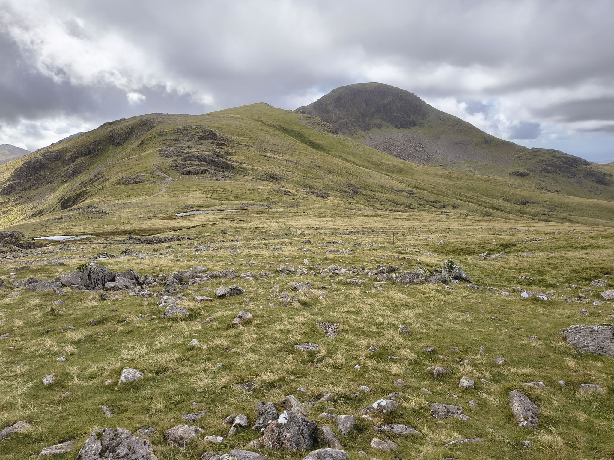
Coming off Brandreth, a more friendly view with Green Gable in the foreground and Great Gable behind

Great Gable, Hay Stacks - Image 6, Sep 08, 2025

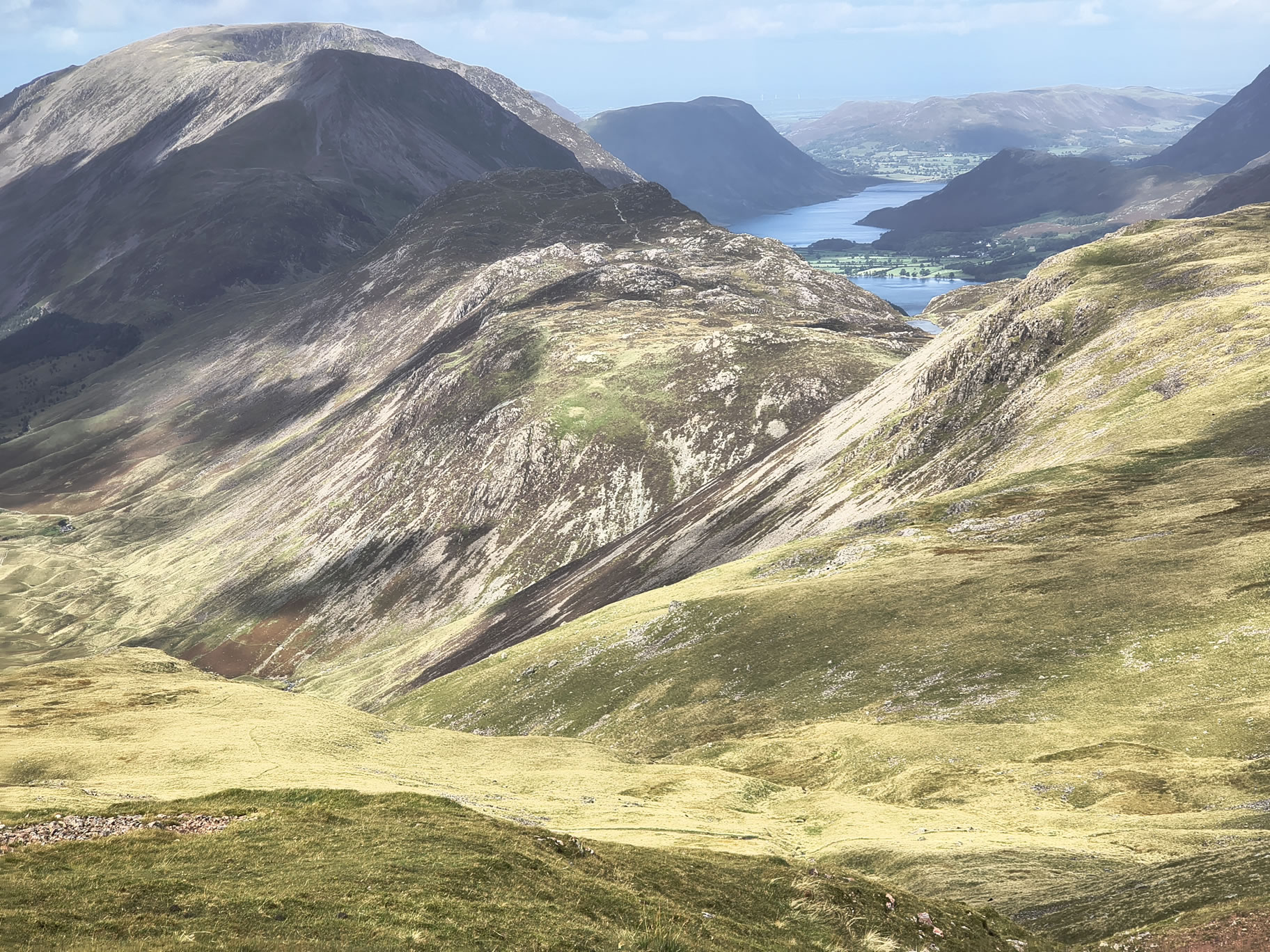
Looking behind and to the right, Hay Stacks is centred, with Buttermere and Crummock Water beyond. A good view of the High Crag - High Stile - Red Pike ridge

Great Gable, Hay Stacks - Image 7, Sep 08, 2025

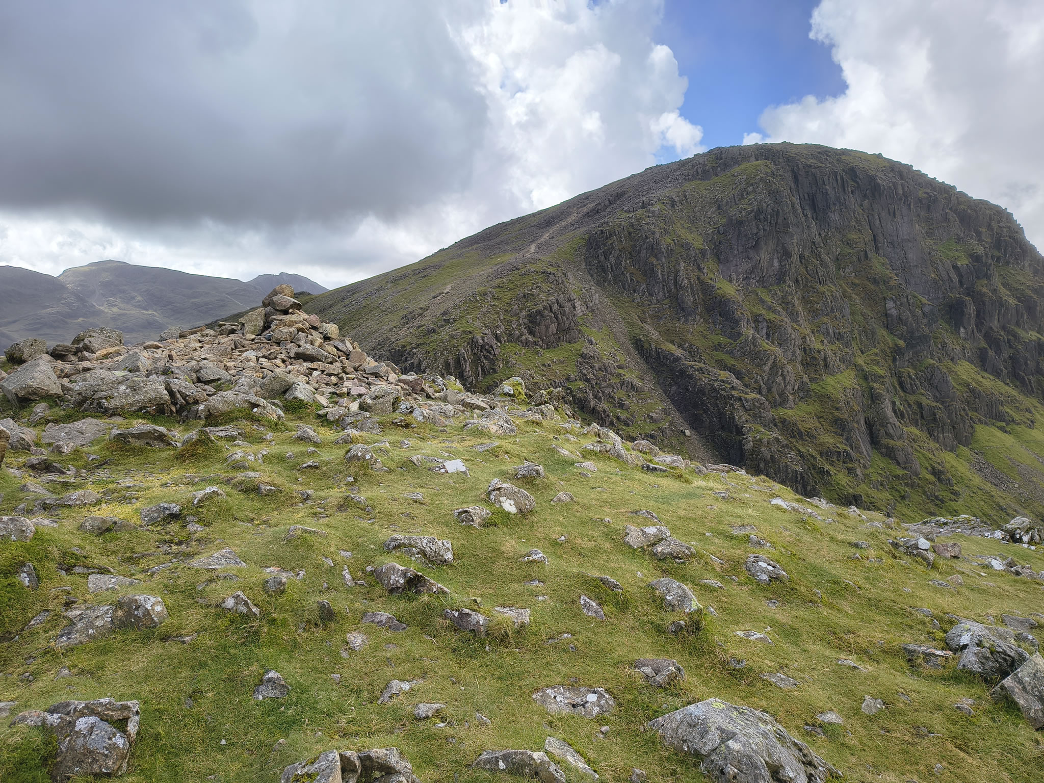
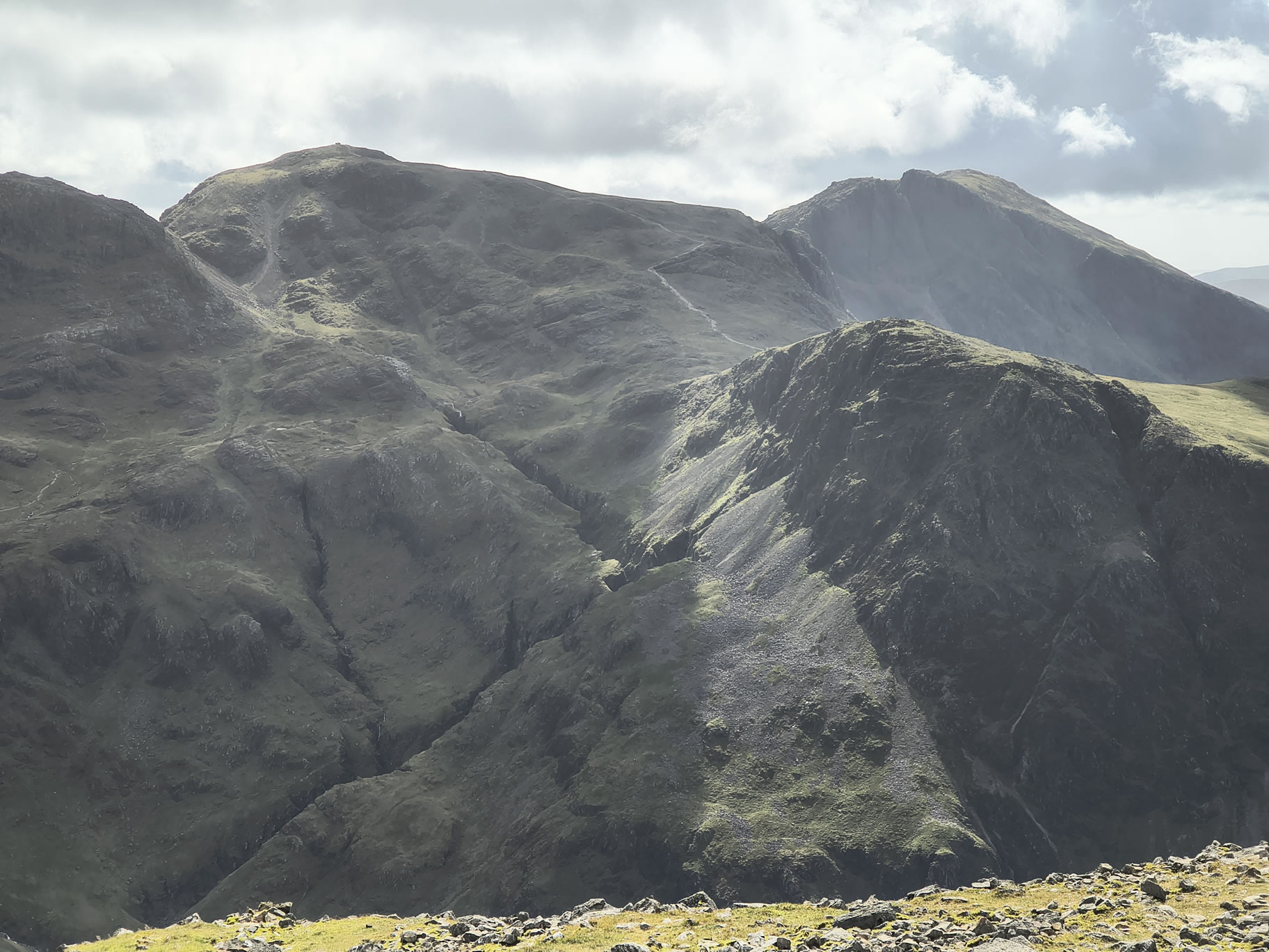
From Green Gable, Great Gable looks deceptively attainable

Great Gable, Hay Stacks - Image 8, Sep 08, 2025

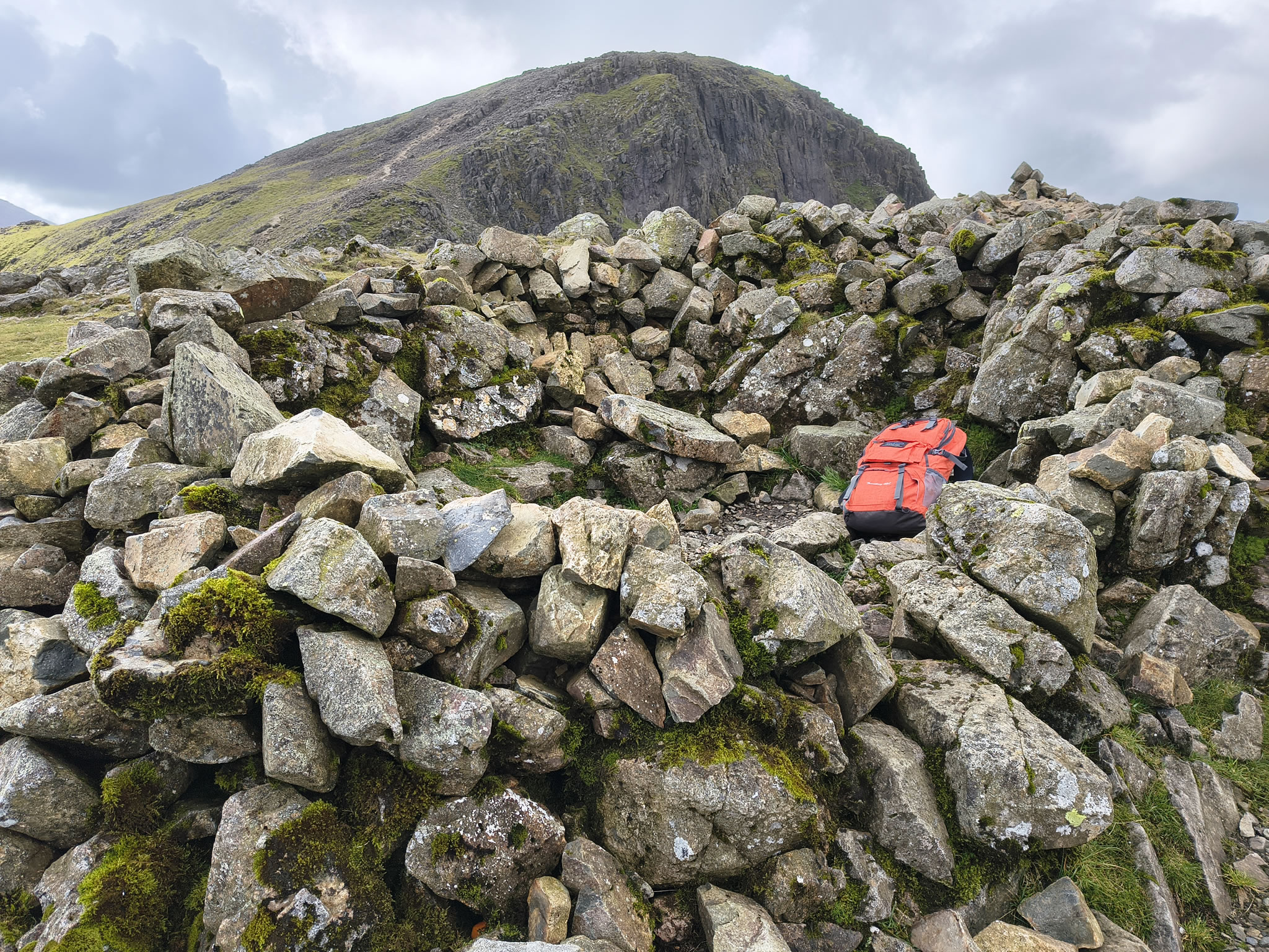
Small sheepfold at Green Gable, handy for a break when it is windy

Great Gable, Hay Stacks - Image 9, Sep 08, 2025

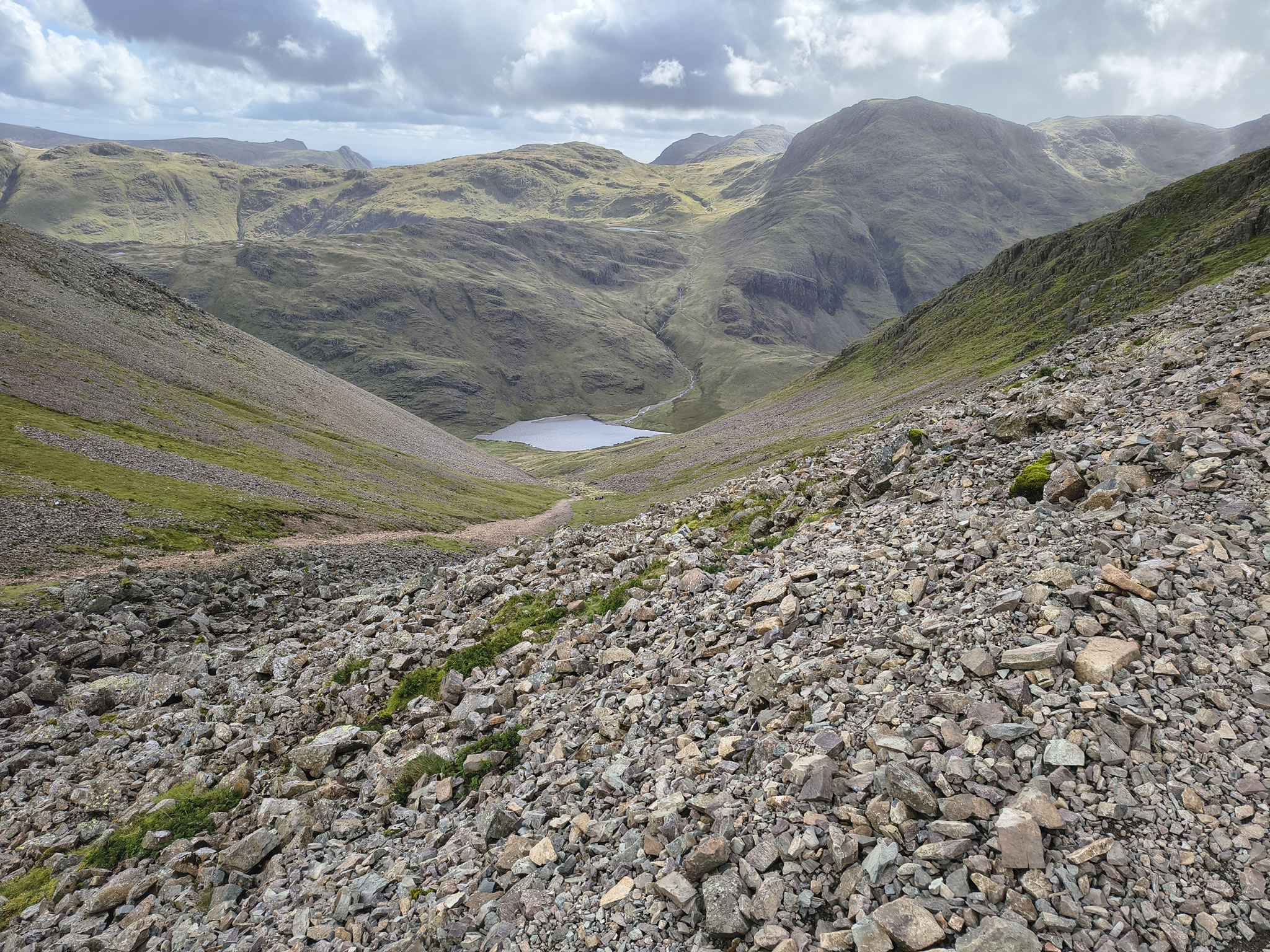
Just up from Windy Gap, this is Styhead Tarn in the foreground and Sprinkling Tarn just peeking out above and behind

Great Gable, Hay Stacks - Image 10, Sep 08, 2025

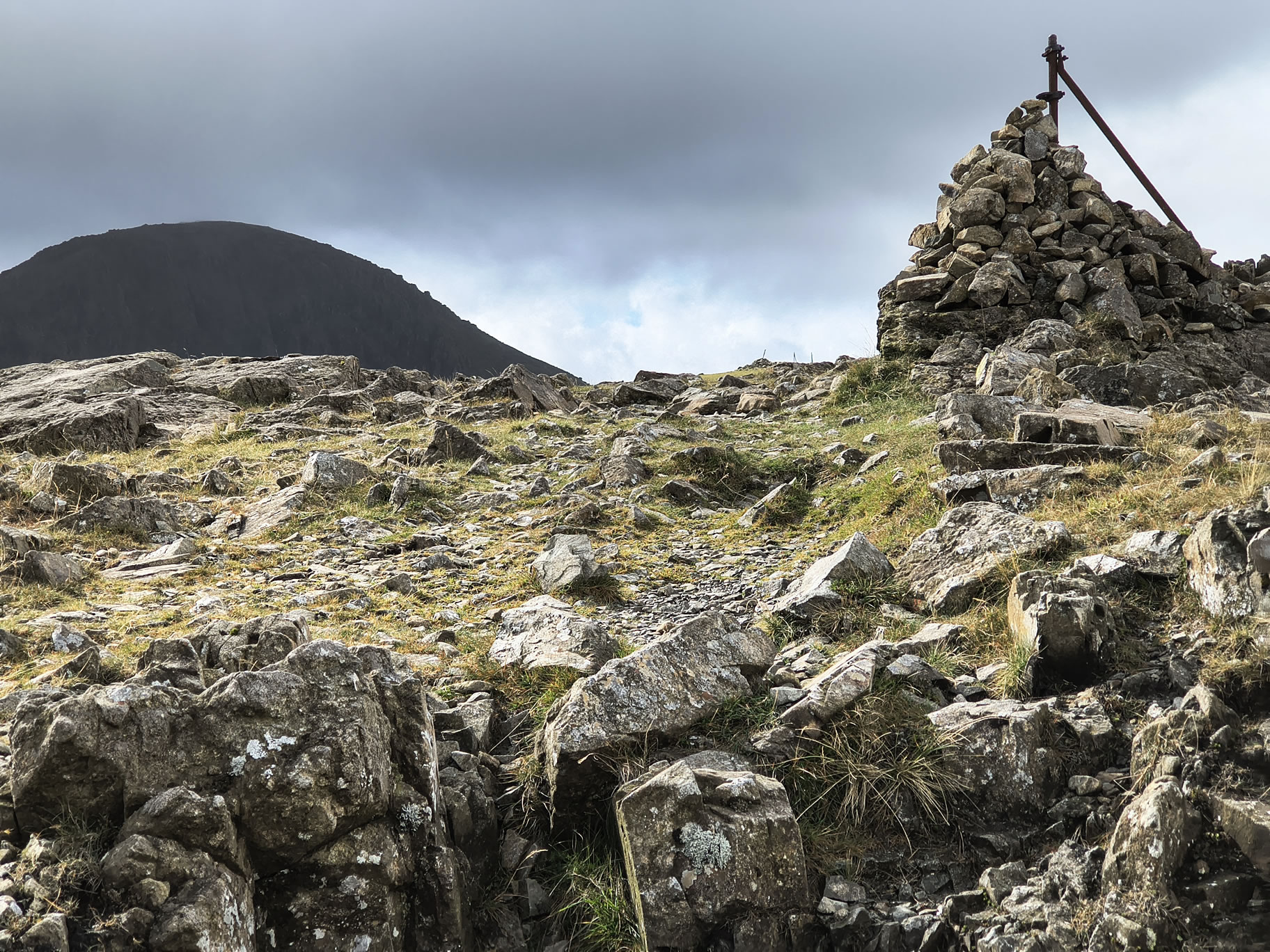
The 'path' to Great Gable

Great Gable, Hay Stacks - Image 11, Sep 08, 2025

A view towards Scafell Pike

Great Gable, Hay Stacks - Image 12, Sep 08, 2025

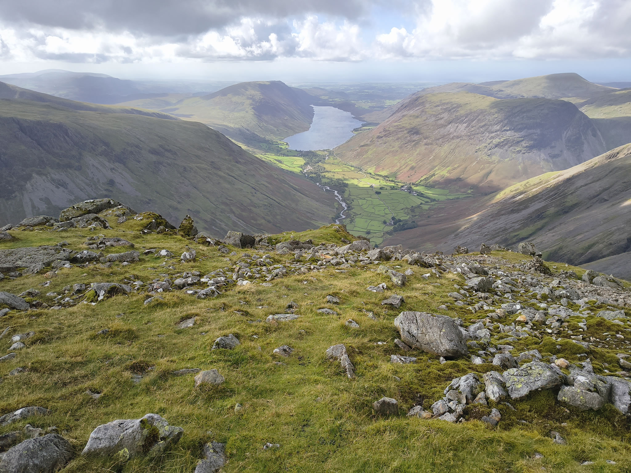
And down to Wastwater (from near Westmorland Cairn)

Great Gable, Hay Stacks - Image 13, Sep 08, 2025

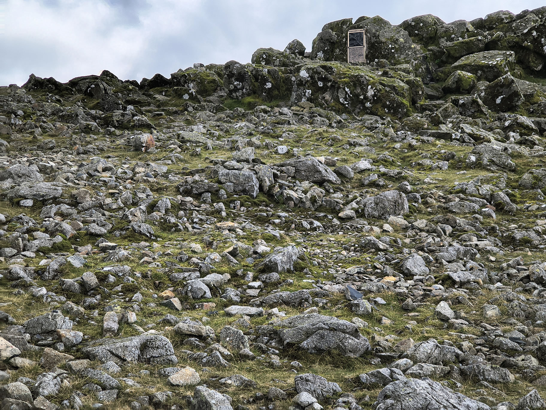
Looking back to the Memorial (people all around it on the way up)

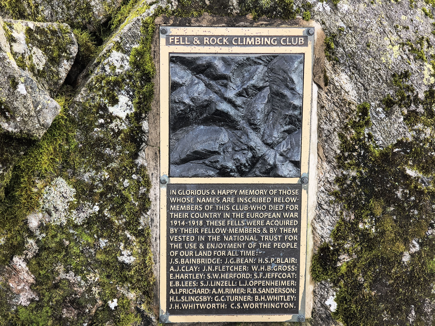
The Great Gable Memorial plaque, Sep 08, 2025

A close up of the Memorial. One of my good friends has a relative here

Great Gable, Hay Stacks - Image 14, Sep 08, 2025

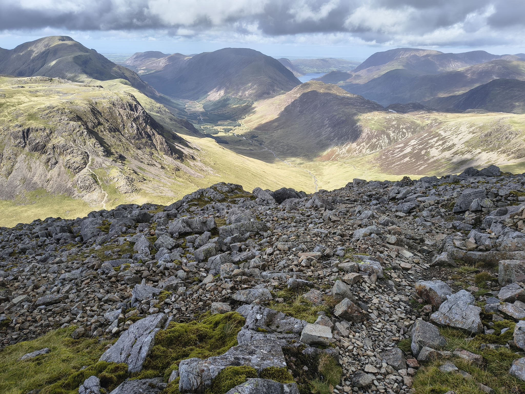
Looking towards Hay Stacks and Crummock Water

Great Gable, Hay Stacks - Image 15, Sep 08, 2025

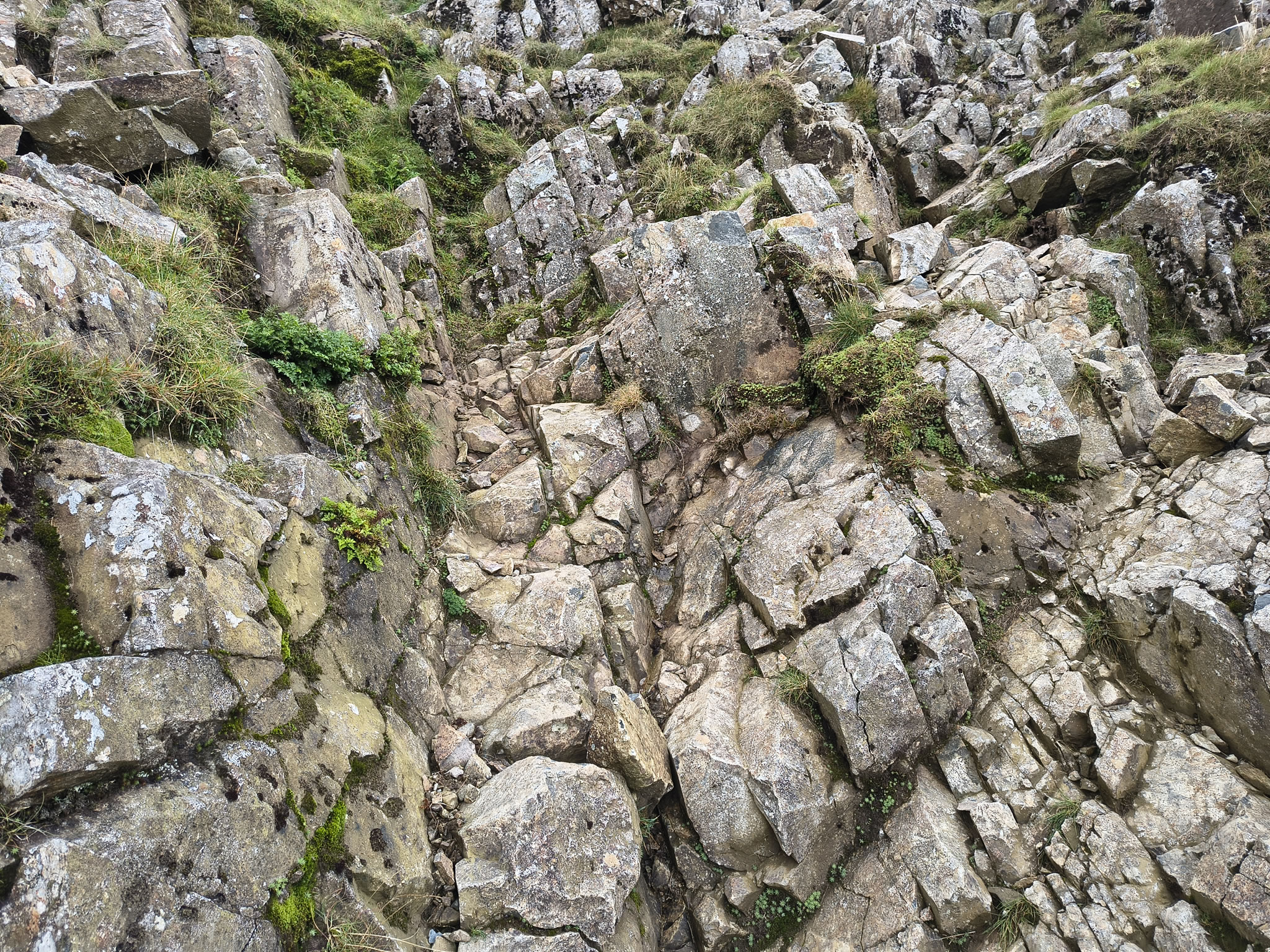
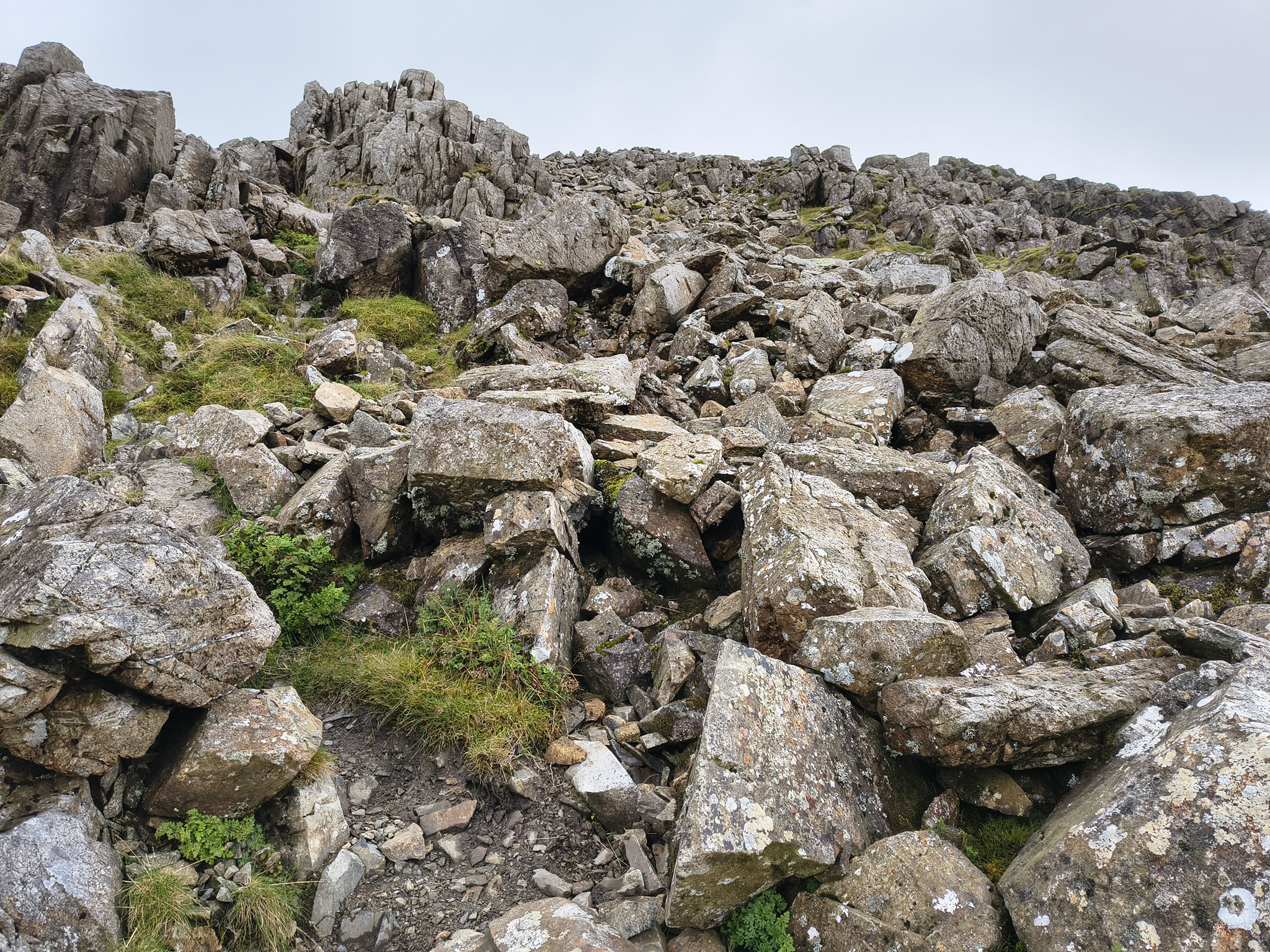
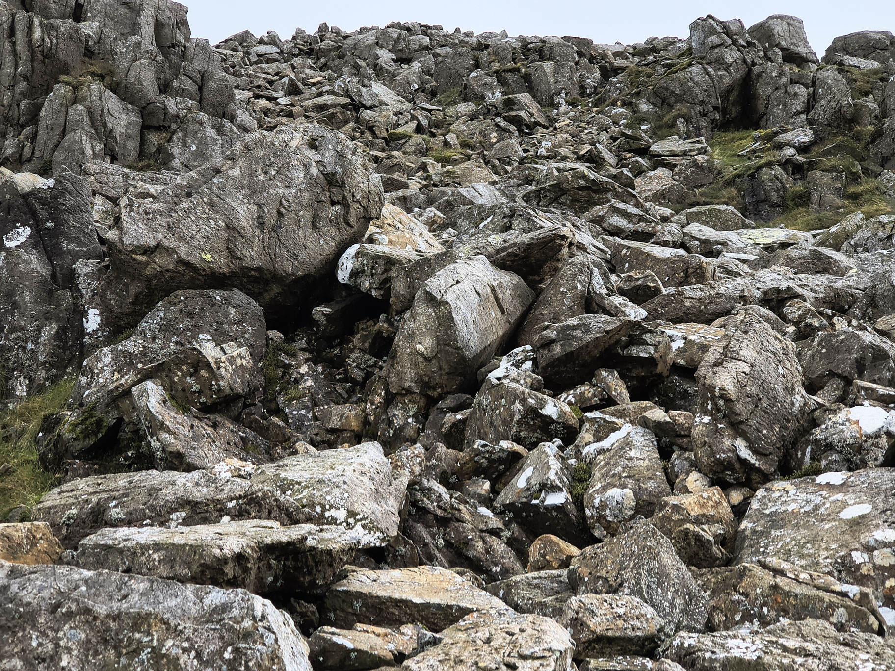
I come off Great Gable to the NW. There is no discernible path...

Great Gable, Hay Stacks - Image 16, Sep 08, 2025

... and it is steep and slippery

Great Gable, Hay Stacks - Image 17, Sep 08, 2025

From the start of Moses Trod, looking back at Great Gable

Great Gable, Hay Stacks - Image 18, Sep 08, 2025

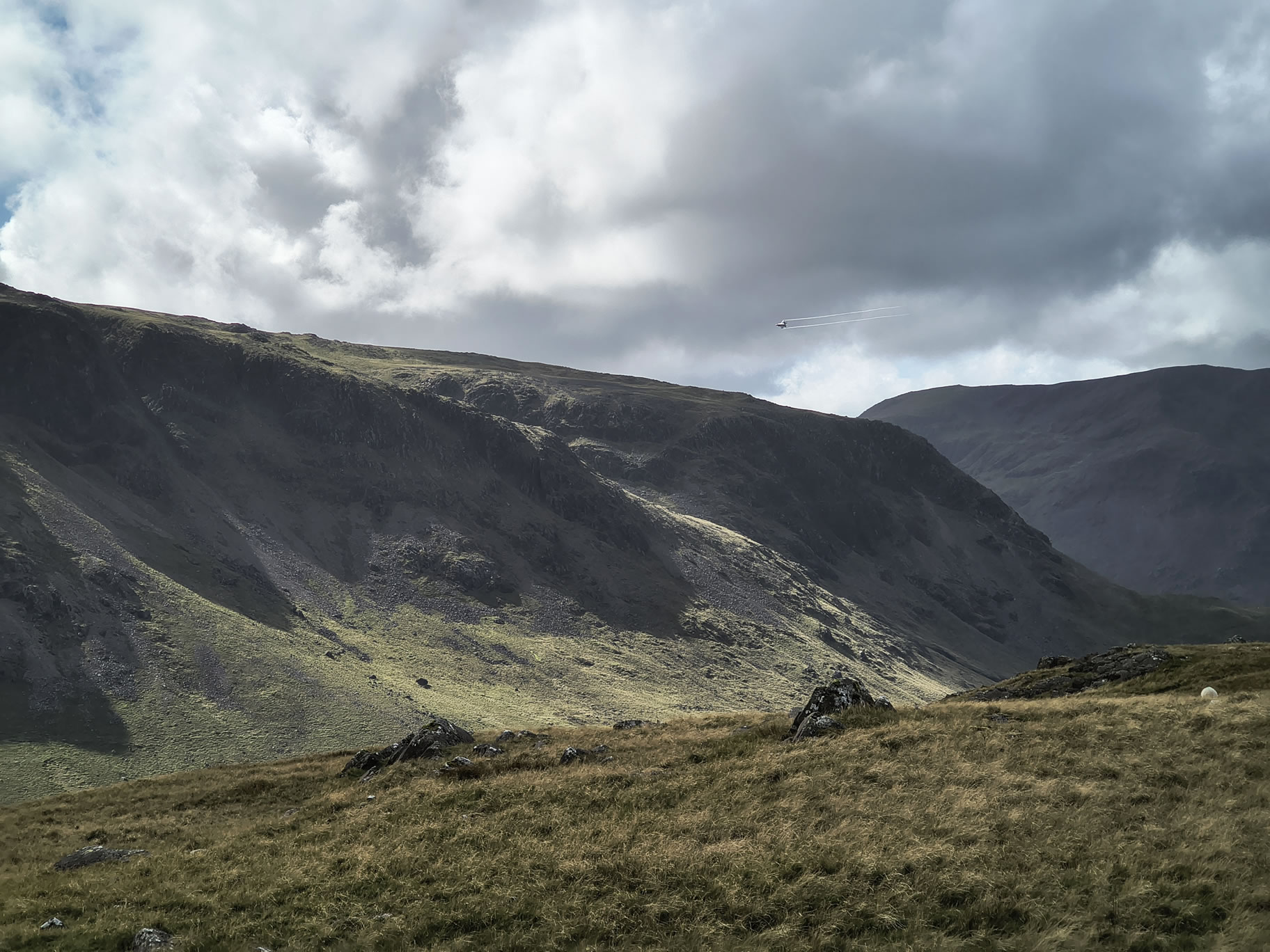
A jet fighter screams past

Great Gable, Hay Stacks - Image 19, Sep 08, 2025

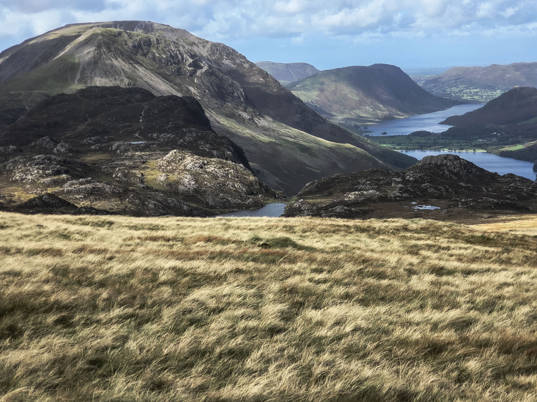
Blackbeck Tarn in the foreground. Hay Stacks front left with the High Crag - High Stile - Red Pike ridge behind

Great Gable, Hay Stacks - Image 20, Sep 08, 2025

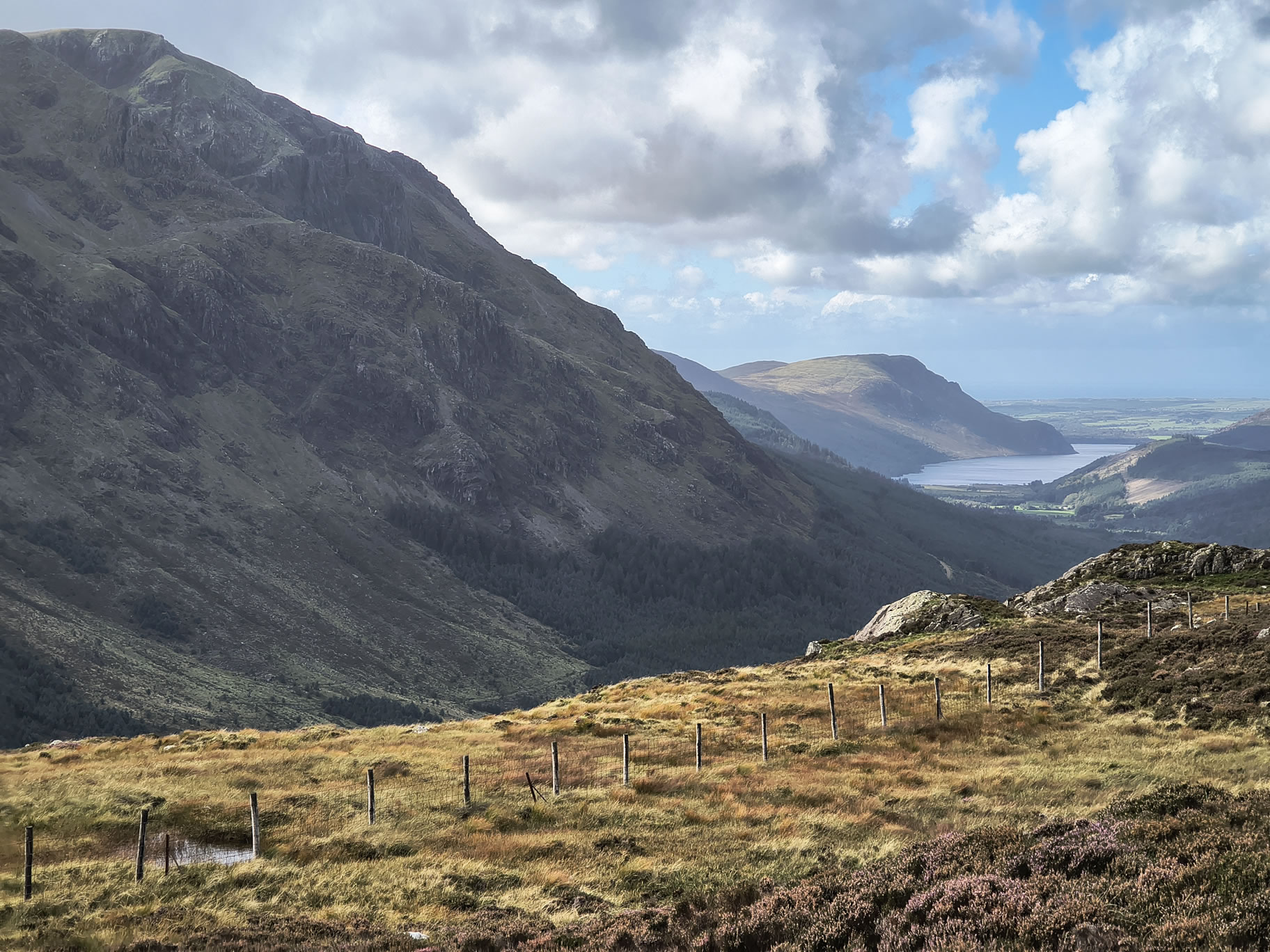
A view of Ennerdale as I round the Southern side of Hay Stacks

Great Gable, Hay Stacks - Image 21, Sep 08, 2025

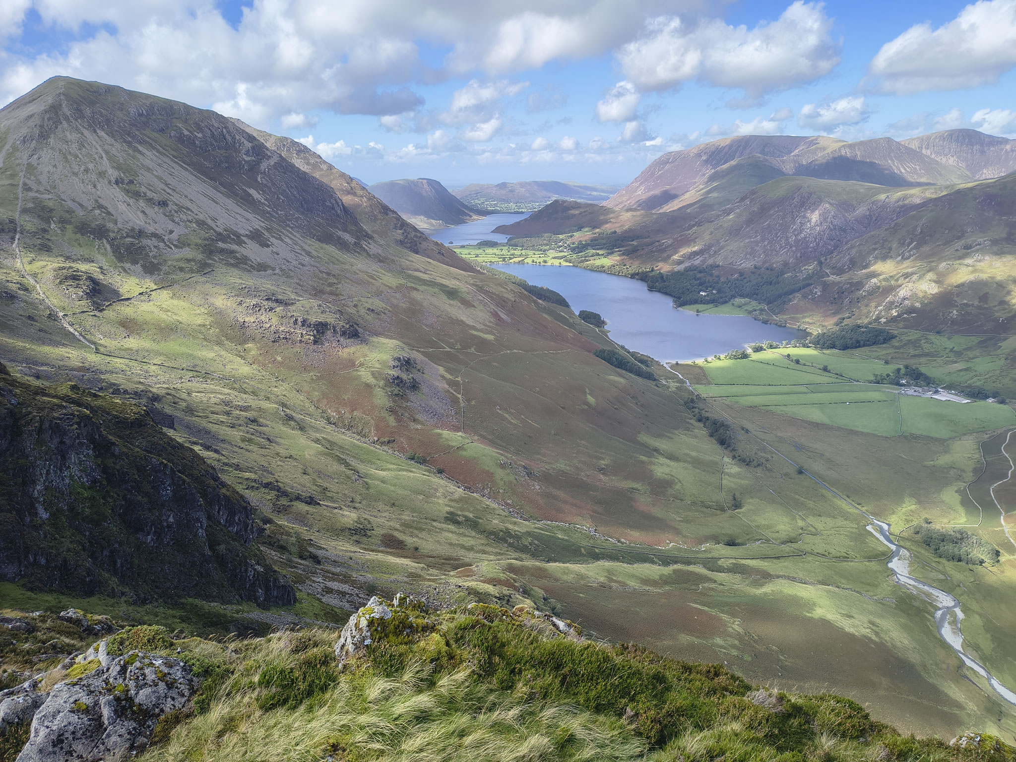
My favourite place on Hay Stacks with this view down to Buttermere and Crummock Water beyond. A clear view of the route up to Scarth Gap from the direction of Gatesgarth

Great Gable, Hay Stacks - Image 22, Sep 08, 2025

{...}

Great Gable, Hay Stacks - Image 23, Sep 08, 2025

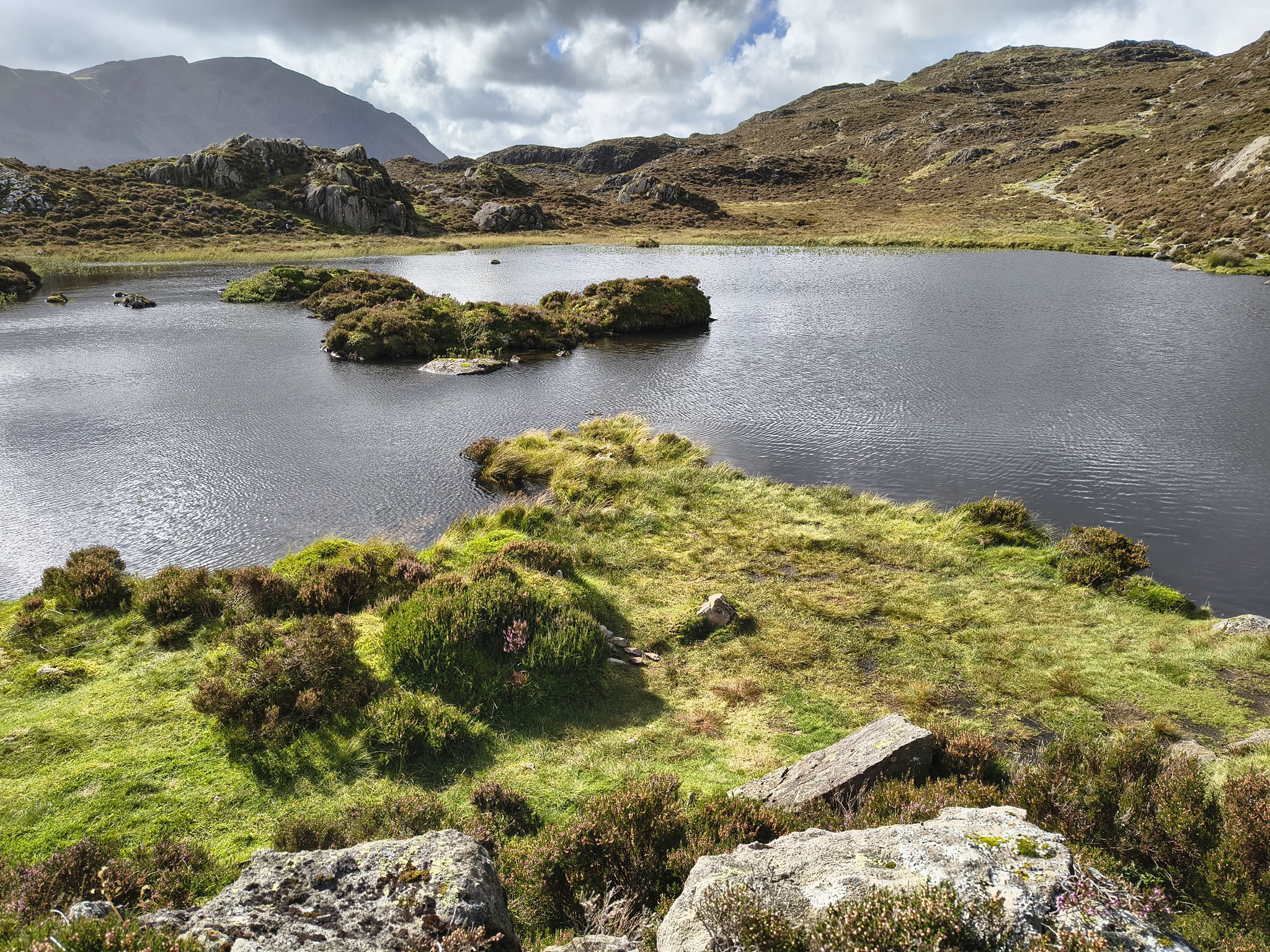
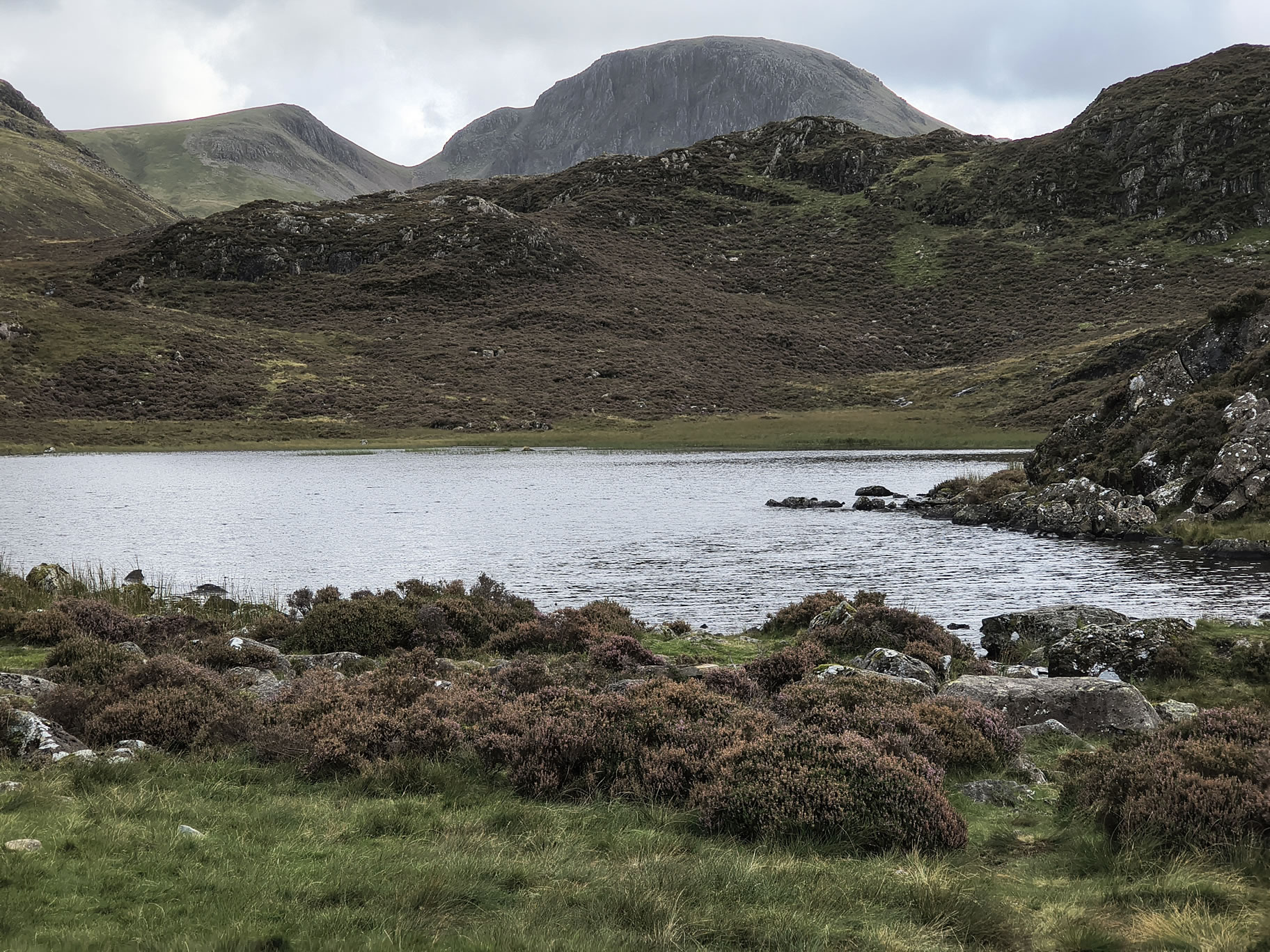
Innominate Tarn looking quite low again

Great Gable, Hay Stacks - Image 24, Sep 08, 2025

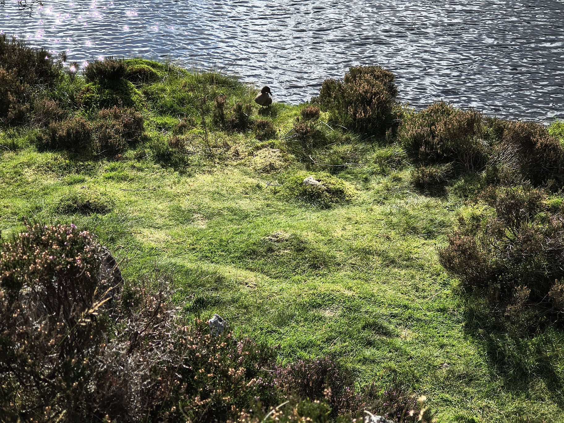
Hello old friend

Totally peaceful here

Great Gable, Hay Stacks - Image 25, Sep 08, 2025

A last look at Great Gable with Blackbeck Tarn in the foreground

Great Gable, Hay Stacks - Image 26, Sep 08, 2025

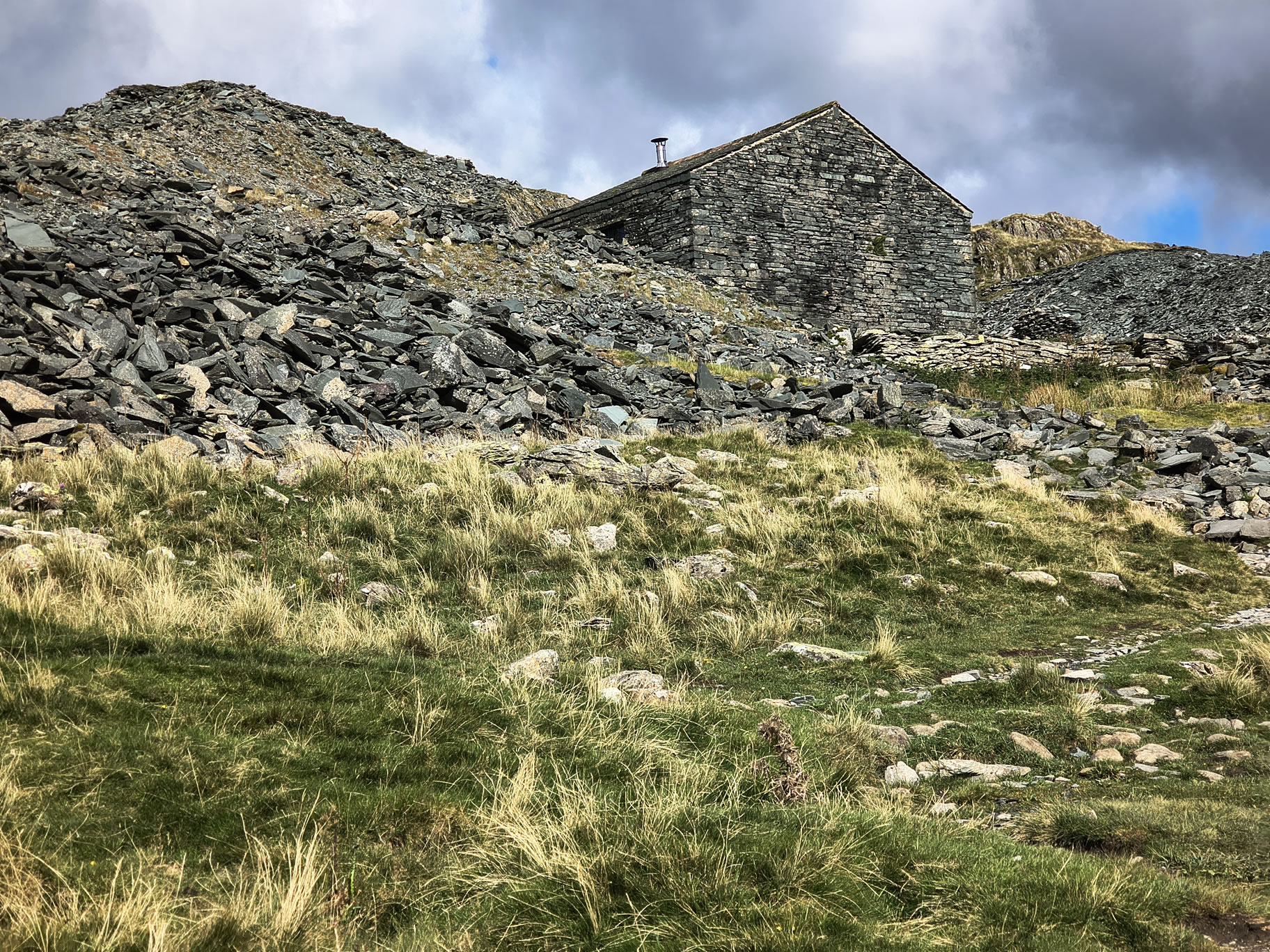
At Dubs Hut, homeward bound

On the way down the tramway path


Start: Honister

1) "Honister rambler" bus from Keswick to Honister
2) Car parking, toilets and café at Honister Slate Mine [Grid Ref: NY 22457 13570] [GPS 54.511478,-3.1992062] View on map

Route

Honister, Grey Knotts, Brandreth, Green Gable, Windy Gap, Great Gable, Moses Trod, Hay Stacks Peaks, Dubs Quarry
Distance 8.12 miles, Time 5.16 h, Total Ascent 3,304 ft
Wainwright Pictorial Guide: The Western Fells

Fells

Grey Knotts 2,287 ft
Brandreth 2,346 ft
Green Gable 2,628 ft
Great Gable 2,949 ft
Hay Stacks 1,959 ft

Titbits

Innominate Tarn - Innominate Tarn on Hay Stacks is a picturesque tarn to the E of Hay Stacks summit. It is smaller than the neighbouring Blackbeck Tarn. Innominate Tarn has importance as the final resting place of Alfred Wainwright.
"Every day that passes is a day less. That day will come when there is nothing left but memories. And afterwards, a last long resting place by the side of Innominate Tarn, on Haystacks, where the water gently laps the gravelly shore and the heather blooms and Pillar and Gable keep unfailing watch. A quiet place, a lonely place. I shall go to it, for the last time, and be carried: someone who knew me in life will take me and empty me out of a little box and leave me there alone. And if you, dear reader, should get a bit of grit in your boot as you are crossing Haystacks in the years to come, please treat it with respect. It might be me."
Moses Trod - Before the roads and tramways, it was more convenient to transport slate from Dubs to South Cumberland by packhorse directly across the high fells to Wasdale {...}
Moses Trod is a high level route which was planned to avoid steep gradients. The path is kept in being today by discerning walkers who appreciate the easy contours, fast travel, glorious scenery and superb views.
Moses Rigg is a well established 18th centry figure in local tradition, which describes him as a Honister quarryman who, after his day's work, illegally made whisky from the bog water on Fleetwith at his quarry hut, smuggling this potent produce to Wasdale with his pony-loads of slate A. Wainwright, The Western Fells

Please do your own research to verify current routes and information on car parking, bus services and so on
Route maps from Ordnance Survey are scaled 1:25000 unless otherwise indicated.
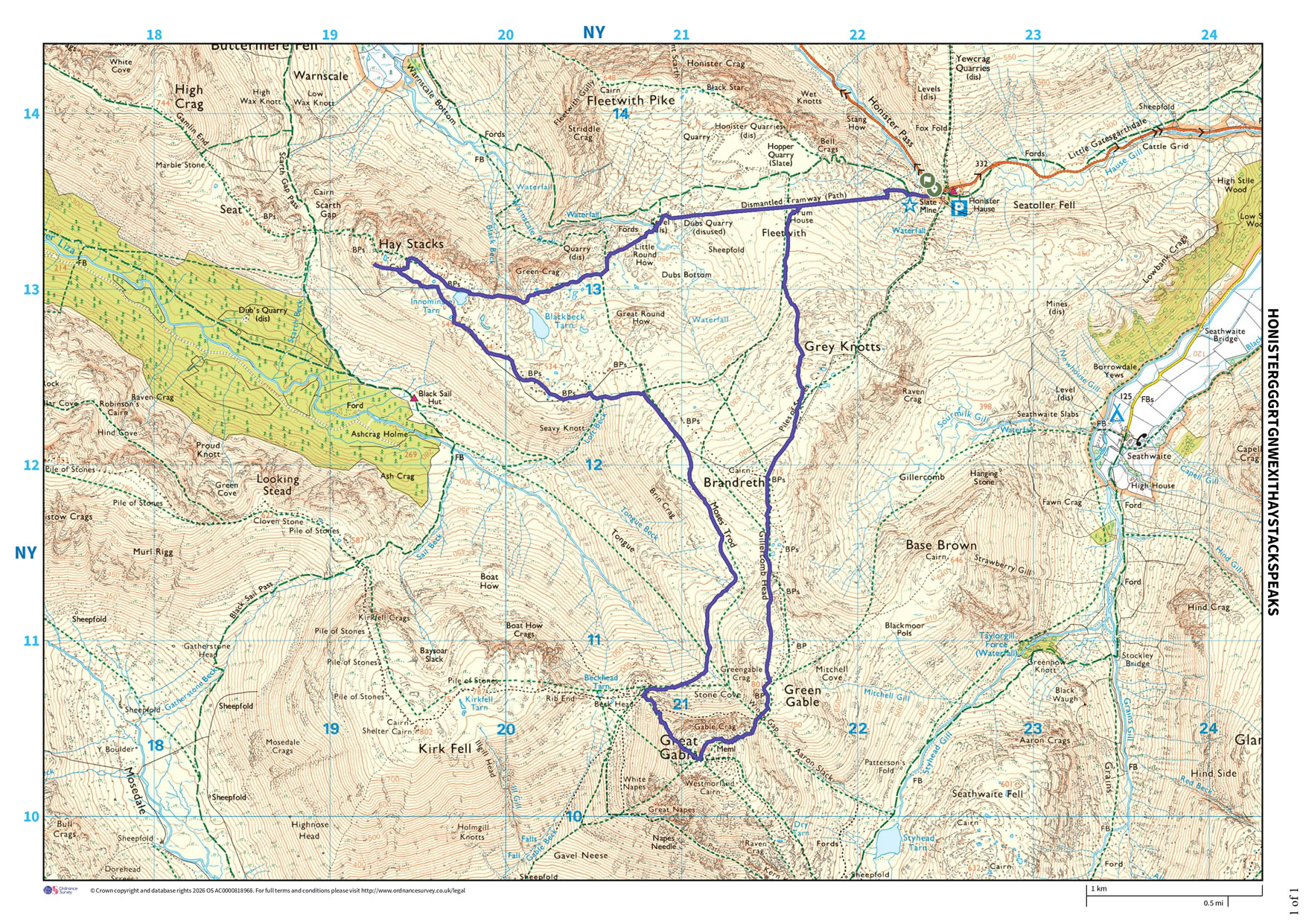
Distance, Hike Time and Total Ascent as supplied by OS. Image shows planned route.

Distance 8.12 miles, Time 5.16 h, Total Ascent 3,304 ft
Route Map and Details


  You are viewing in STD mode for standard images. If you wish to see HD full size images, click here


Full-size image