On larger screens, you may wish to switch from 'STD' to 'HD'.
This will load higher quality images and videos where applicable.
HD: screen narrow
STD: screen is wide, you could benefit from HD
GRADING
EASY:
Wide paths, easy gradient [Barrow]
MEDIUM:
Some rocky sections [Cat Bells]
HARD:
Steep climbs, rocks [Grisedale Pike]
TOUGH:
Tricky sections, boulder fields [Scafell Pike]
Our grading is a general overview to give you an idea of a hike's difficulty. It is subjective and may vary based on your personal hiking experience and the weather conditions on the day of your hike.
WATER
For thirsty dogs! Showing the existence of running water (such as streams) or large bodies of fresh water (such as good-sized tarns) during the main part of the walk on the indicated route.
NONE:
Skiddaw
PARTIAL:
Mardale Head, Harter Fell, return Small Water
PLENTY:
Scafell Pike via Grains Gill, return Styhead Gill
Intended as an approximate guideline - water levels vary, please bear the weather in mind and be sure to take enough water for you and your dog.
Distance 16.39 km, Time 5.54 h, Total Ascent 907 m
Imperial |
Metric
Start: Gale Road (Skiddaw]
Route
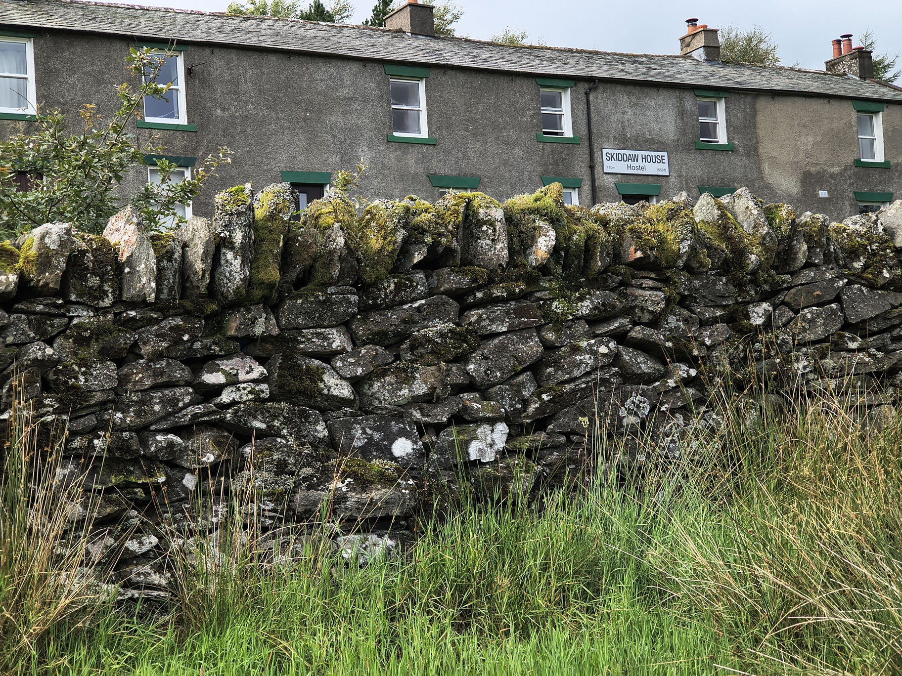
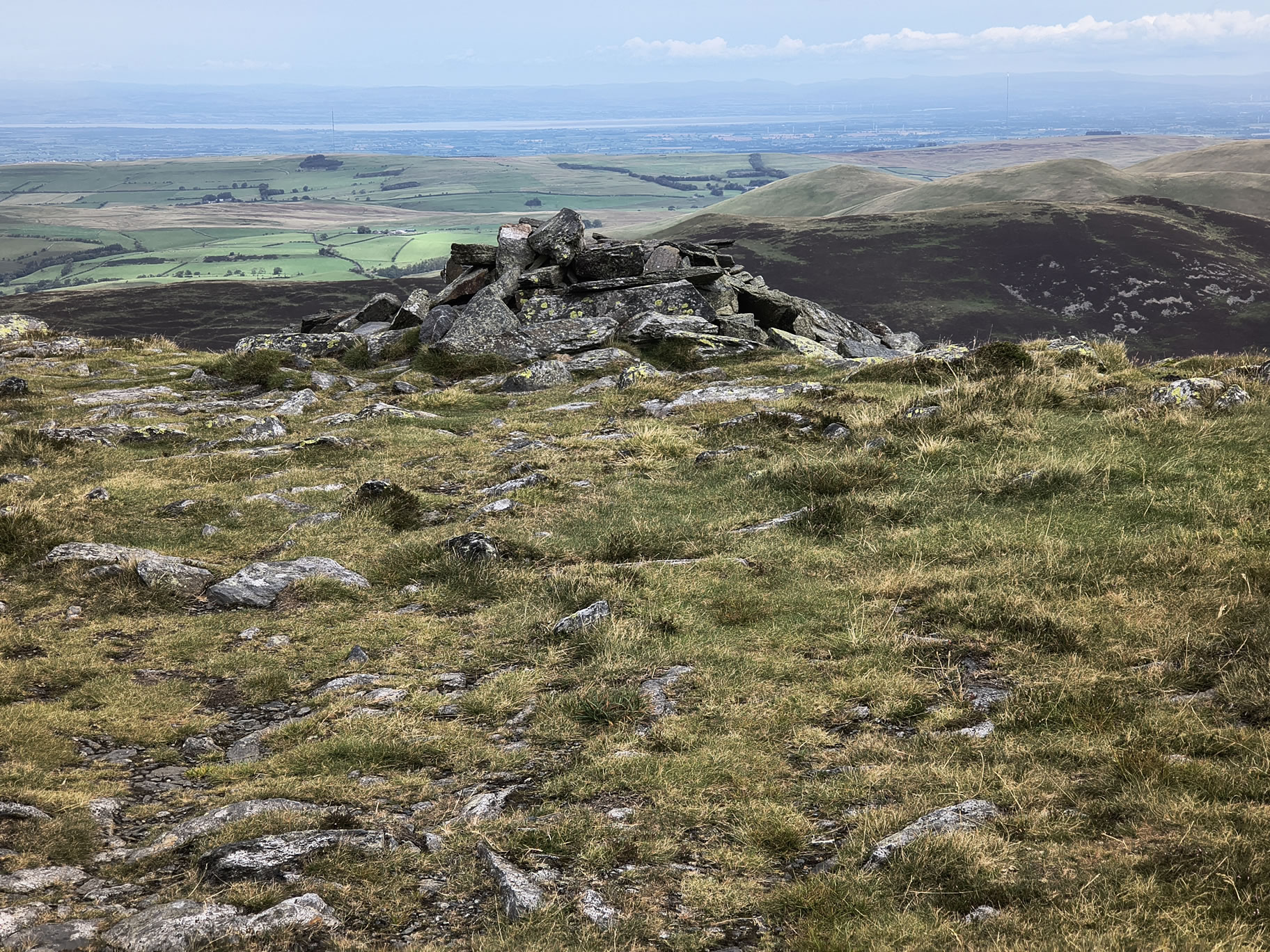
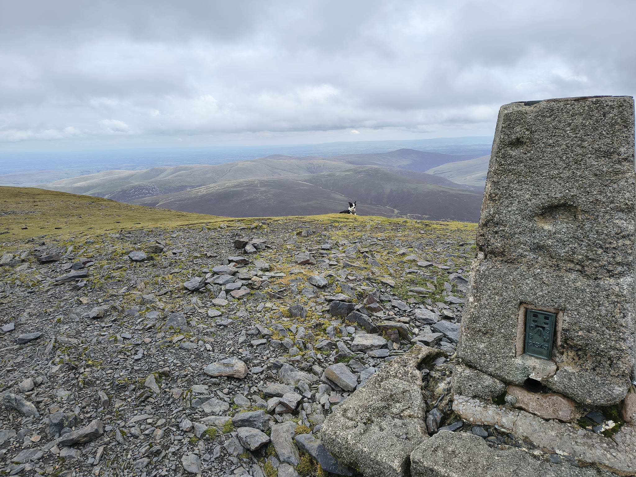
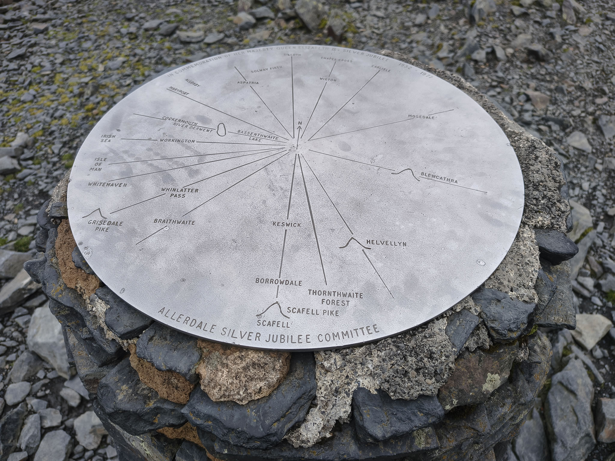
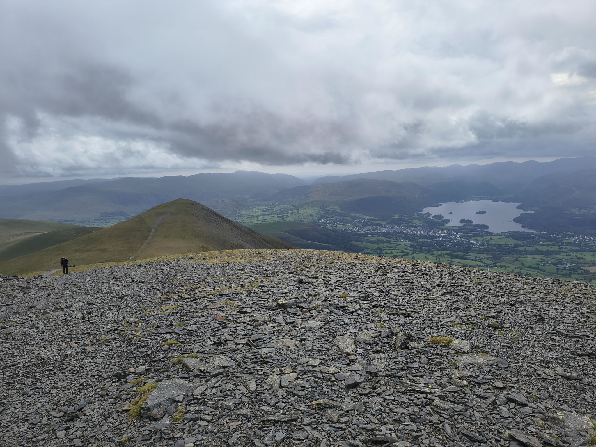
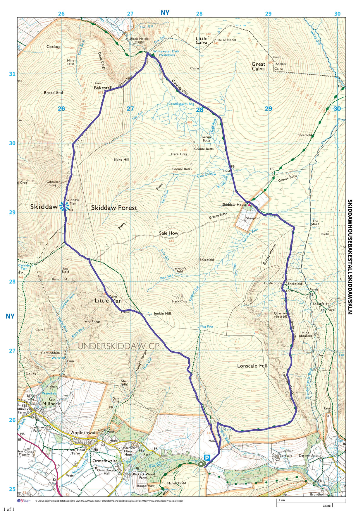
Gale Road, Skiddaw House, Bakestall, Skiddaw, Skiddaw Little Man
Distance 16.39 km, Time 5.54 h, Total Ascent 907 m
Wainwright Pictorial Guide: The Northern Fells
Please do your own research to verify current routes and information on car parking, bus services and so on
Route maps from Ordnance Survey are scaled 1:25000 unless otherwise indicated. Distance, Hike Time and Total Ascent as supplied by OS. Image shows planned route.
Distance 16.39 km, Time 5.54 h, Total Ascent 907 m
You are viewing in STD mode for standard images. If you wish to see HD full size images, click here