HD: screen narrow    STD: screen is wide, you could benefit from HD 

Angletarn Pikes [FE] GradeGrade
PREV      NEXT
INDY    Jul 03, 2025 Hartsop, Angletarn Pikes, Angle Tarn, Brock Crags       
Distance 8.99 km, Time 3.25 h, Total Ascent 586 m     Imperial | Metric
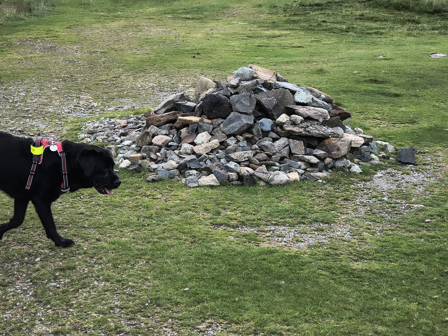
Paw INDY SAYS: Easier than yesterday! Mainly grassy routes, and I had a lovely swim

Start: Hartsop

Car parking in the car park at the far end of Hartsop Village [NY 40999 13007]

Route

Hartsop, Angletarn Pikes, Angle Tarn, Brock Crags
Distance 8.99 km, Time 3.25 h, Total Ascent 586 m
Wainwright Pictorial Guide: The Far Eastern Fells

Titbit

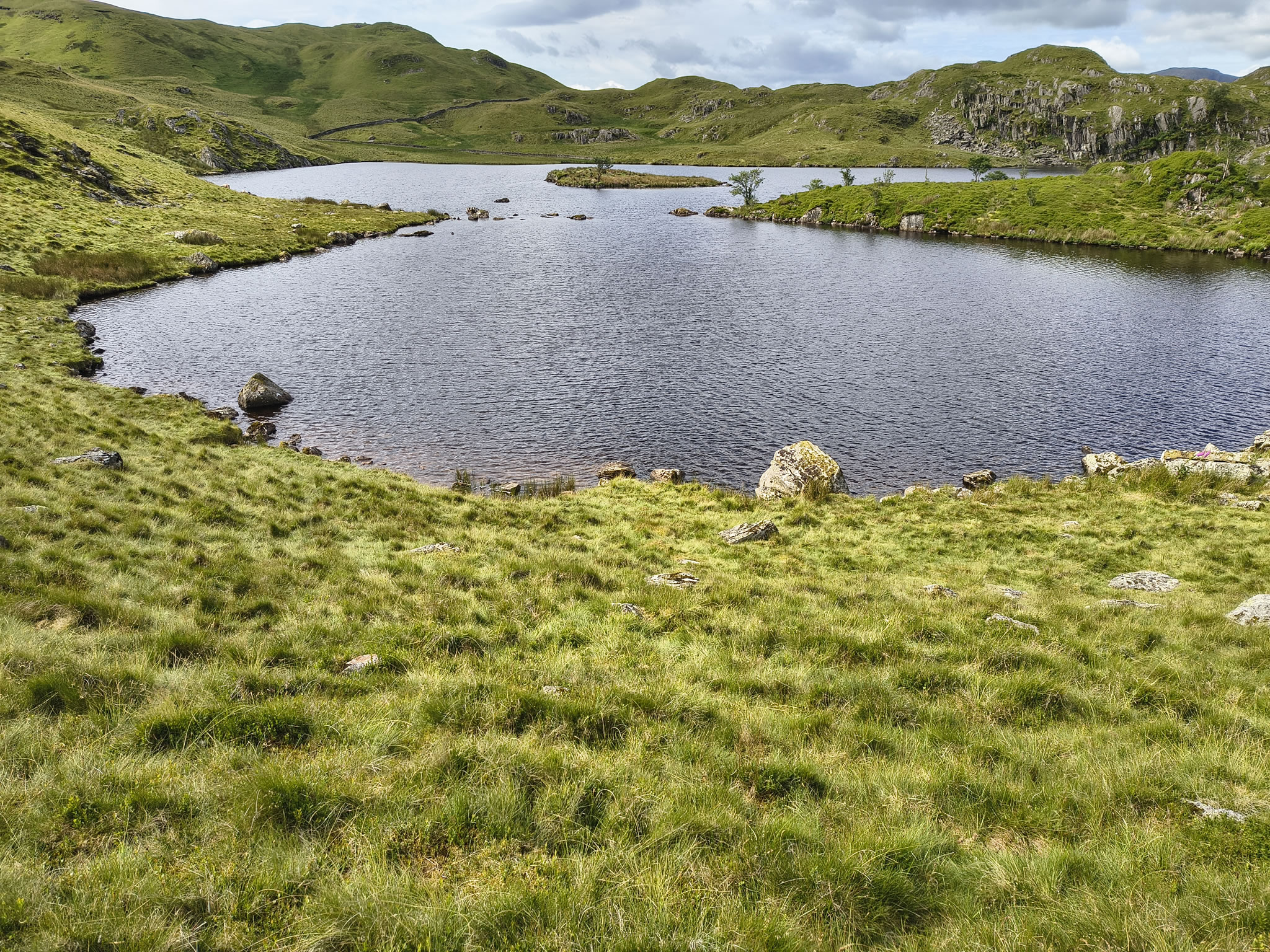
Angle Tarn - A most beautiful tarn with a stunning backdrop

Obstacle

There was an impassable gate towards the end of this walk. It is on the bottom (Southern] section of the route about half way along where there is a kink. I had to lift Indy up and over, which not everyone would be able to do. An alternative path leads away WNW for slightly longer circuit (Jul 03, 2025)

Please do your own research to verify current routes and information on car parking, bus services and so on
Route maps from Ordnance Survey are scaled 1:25000 unless otherwise indicated.
Distance, Hike Time and Total Ascent as supplied by OS. Image shows planned route.

Distance 8.99 km, Time 3.25 h, Total Ascent 586 m
Route Map and Details


  You are viewing in STD mode for standard images. If you wish to see HD full size images, click here


Full-size image