GRADING
EASY:

Wide paths, easy gradient [Barrow]
MEDIUM:
Some rocky sections [Cat Bells]
HARD:
Steep climbs, rocks [Grisedale Pike]
TOUGH:
Tricky sections, boulder fields [Scafell Pike]
Our grading is a general overview to give you an idea of a hike's difficulty. It is subjective and may vary based on your personal hiking experience and the weather conditions on the day of your hike.
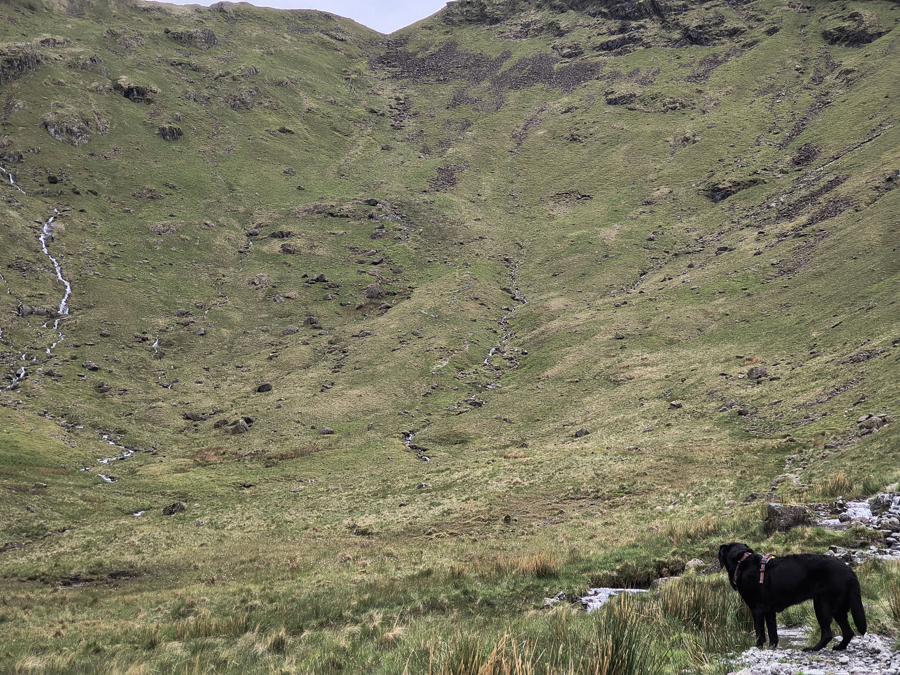
 INDY SAYS: The second part to Thornthwaite Crag was steep and rocky, but once on the ridge there were grassy paths. I had a good swim in Hayeswater and on the way home the sun came out and we stopped off in Ullswater for another swim!




 From Blea Water Crag, off the path, as the clouds part just long enough to reveal a fantastic view of Blea Water and Haweswater reservoir beyond


