HD: screen narrow    STD: screen is wide, you could benefit from HD 

    Hay Stacks [W] GradeGradeGrade
PREV      NEXT
INDY    Jun 25, 2024 Gatesgarth, Scarth Gap, Hay Stacks, Innominate Tarn, Warnscale Beck        
Distance 7.23 km, Time 2.56 h, Total Ascent 570 m     Imperial | Metric
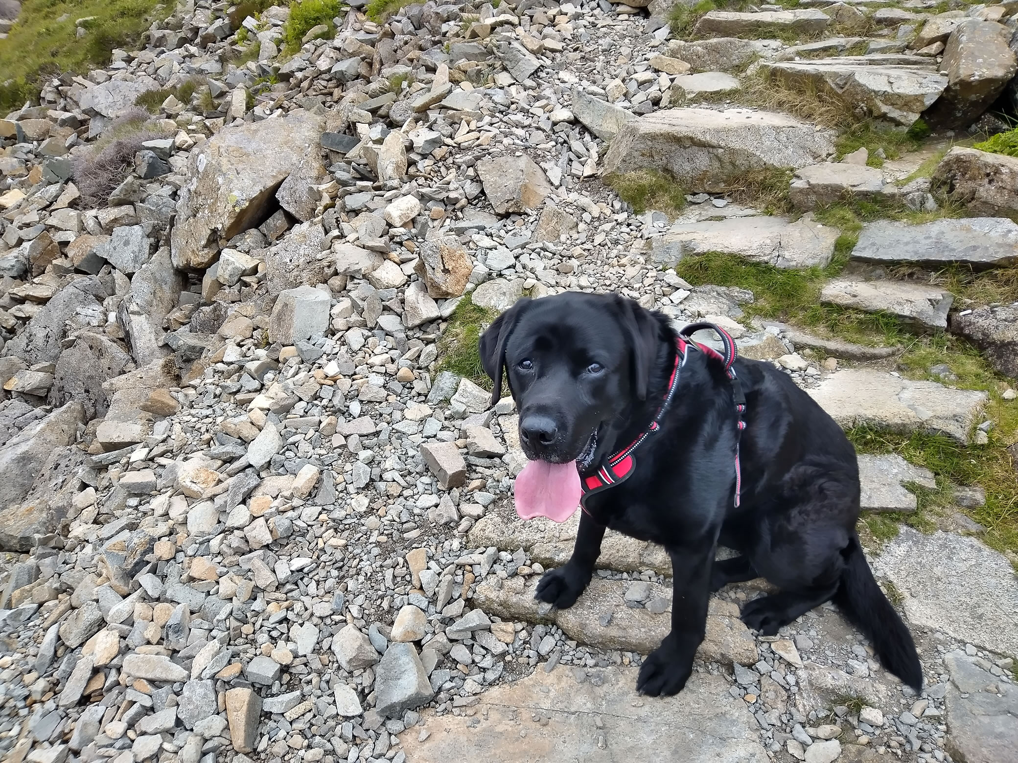
Paw INDY SAYS: Now I understand why Woofright said that he liked this fell so much. It's brilliant, I love it!
A bit of scrambling on Hay Stacks, but I can do it. Plenty of water, tarns to swim in, Happy Days! Tired though.
  Drifting low clouds  

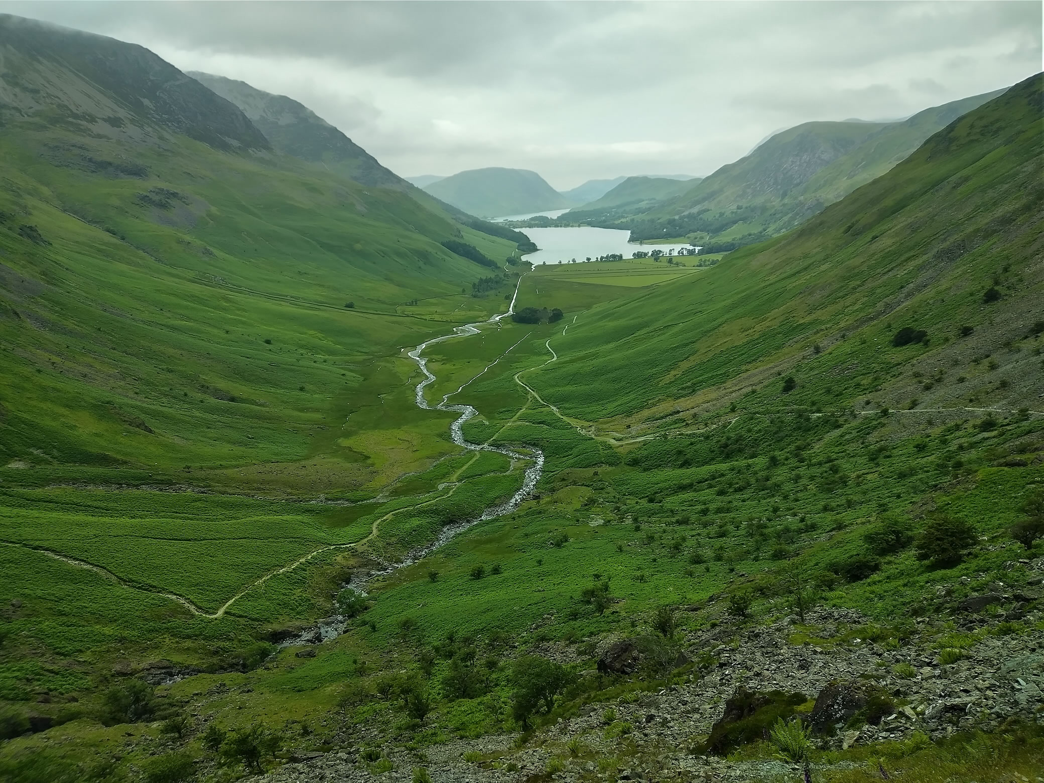
We caught the bus to Gatesgarth and were on our way by about 9:25.
The weather was mixed, but we were both eager to get cracking. This is a half-day walk, not too strenuous but a proper climb nonetheless.
Descent via Warnscale a little hard on the knees on the top section.

Hay Stacks - Image 2, Jun 25, 2024

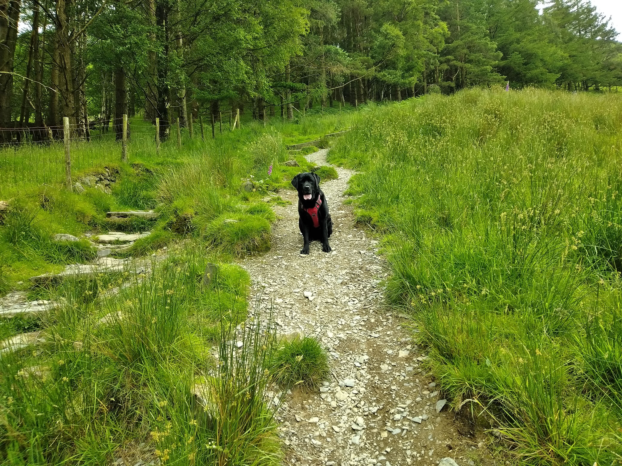
The very beginning of Scarth Gap - Come on!


Hay Stacks - Image 3, Jun 25, 2024

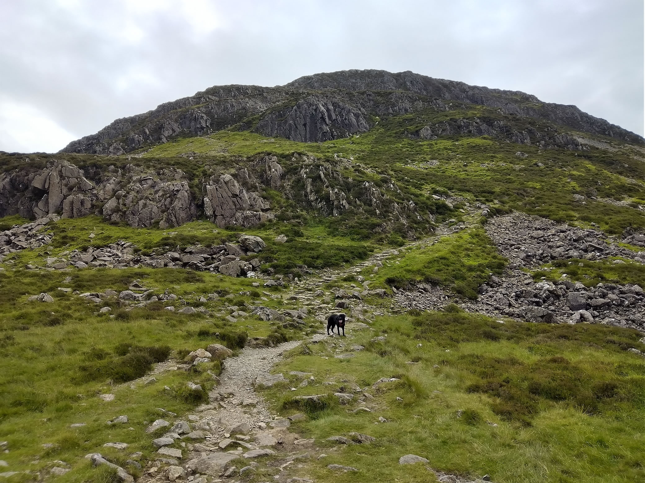
Climbing Scarth Gap, we appear to have the entire fellside to ourselves. With the rocky form of Hay Stacks ahead, there is an eery silence as clouds drift by


Hay Stacks - Image 4, Jun 25, 2024

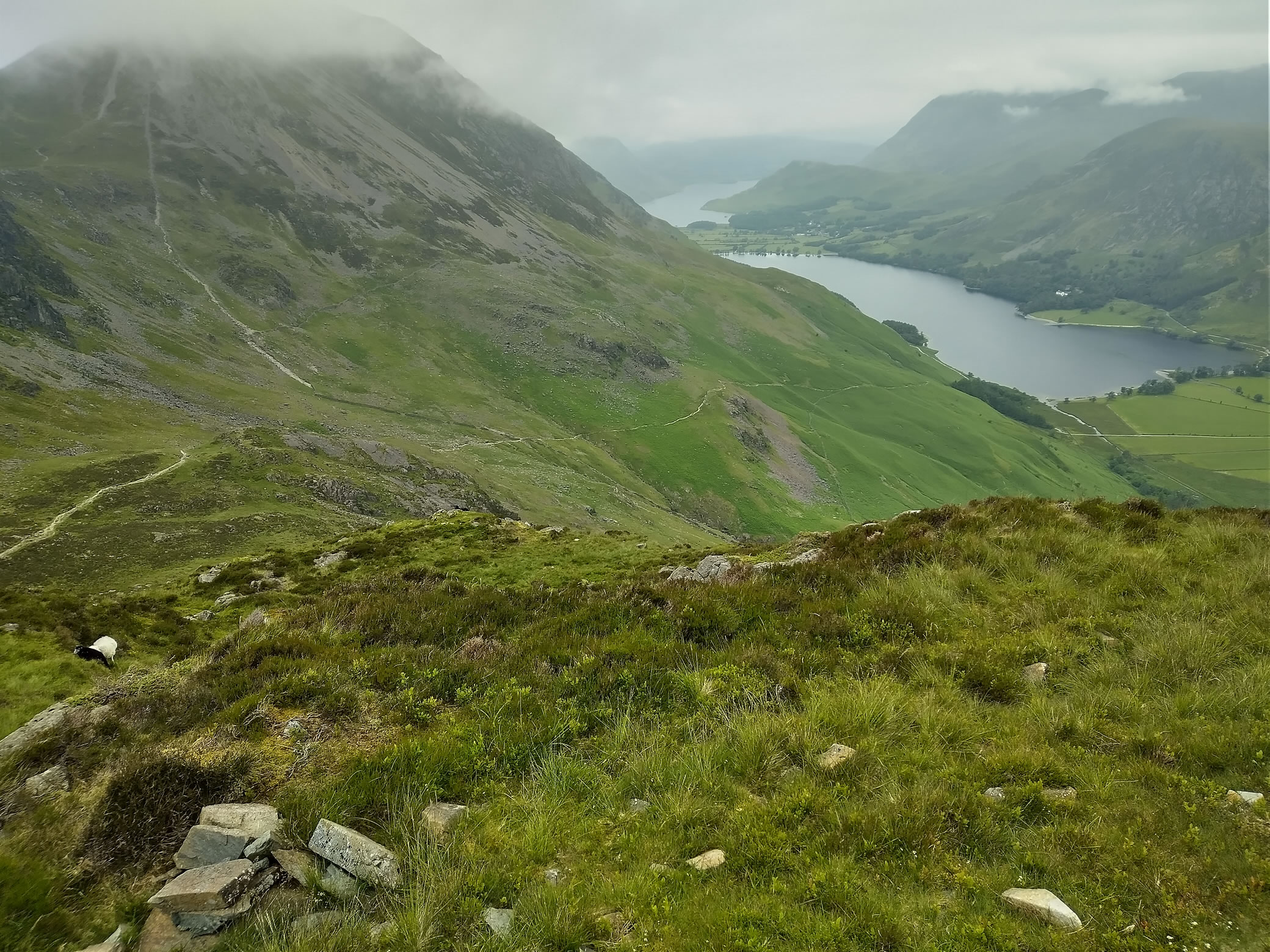
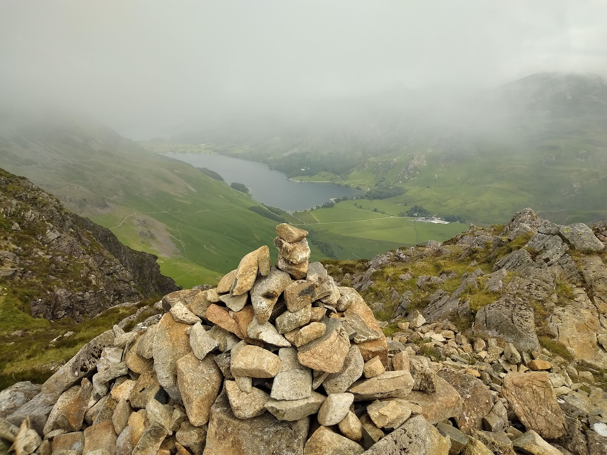
Looking back over Buttermere and Crummock Water, low clouds

Hay Stacks - Image 5, Jun 25, 2024

An engineered stone path at this point


Hay Stacks - Image 6, Jun 25, 2024

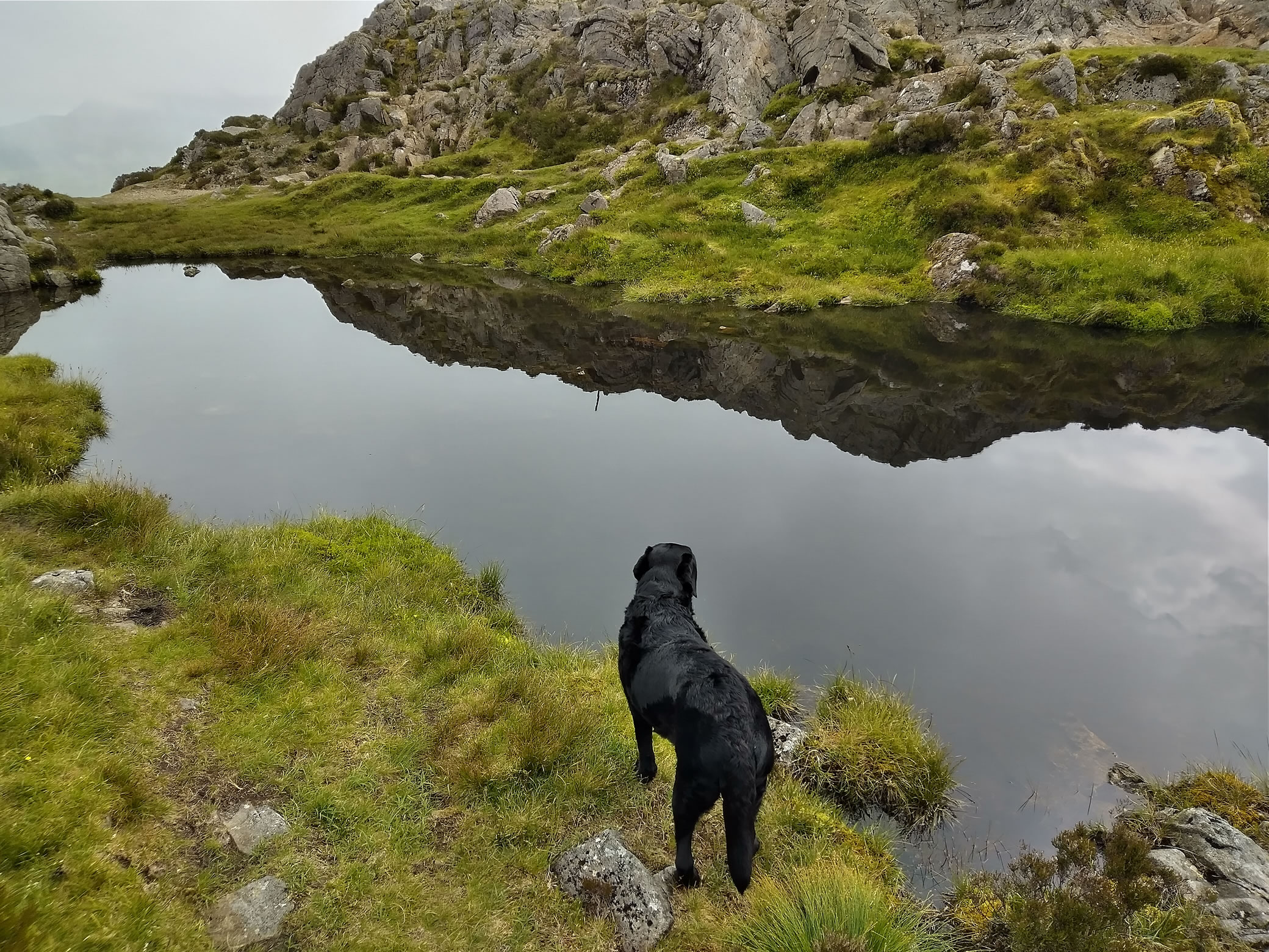
Reflection in the tarn near Hay Stacks summit.
The clamber to the summit was a little more difficult than I expected, on a couple of occasions I had to help Indy up with the harness.
Perhaps there was an easier route that we missed...


Hay Stacks - Image 1, Jun 25, 2024

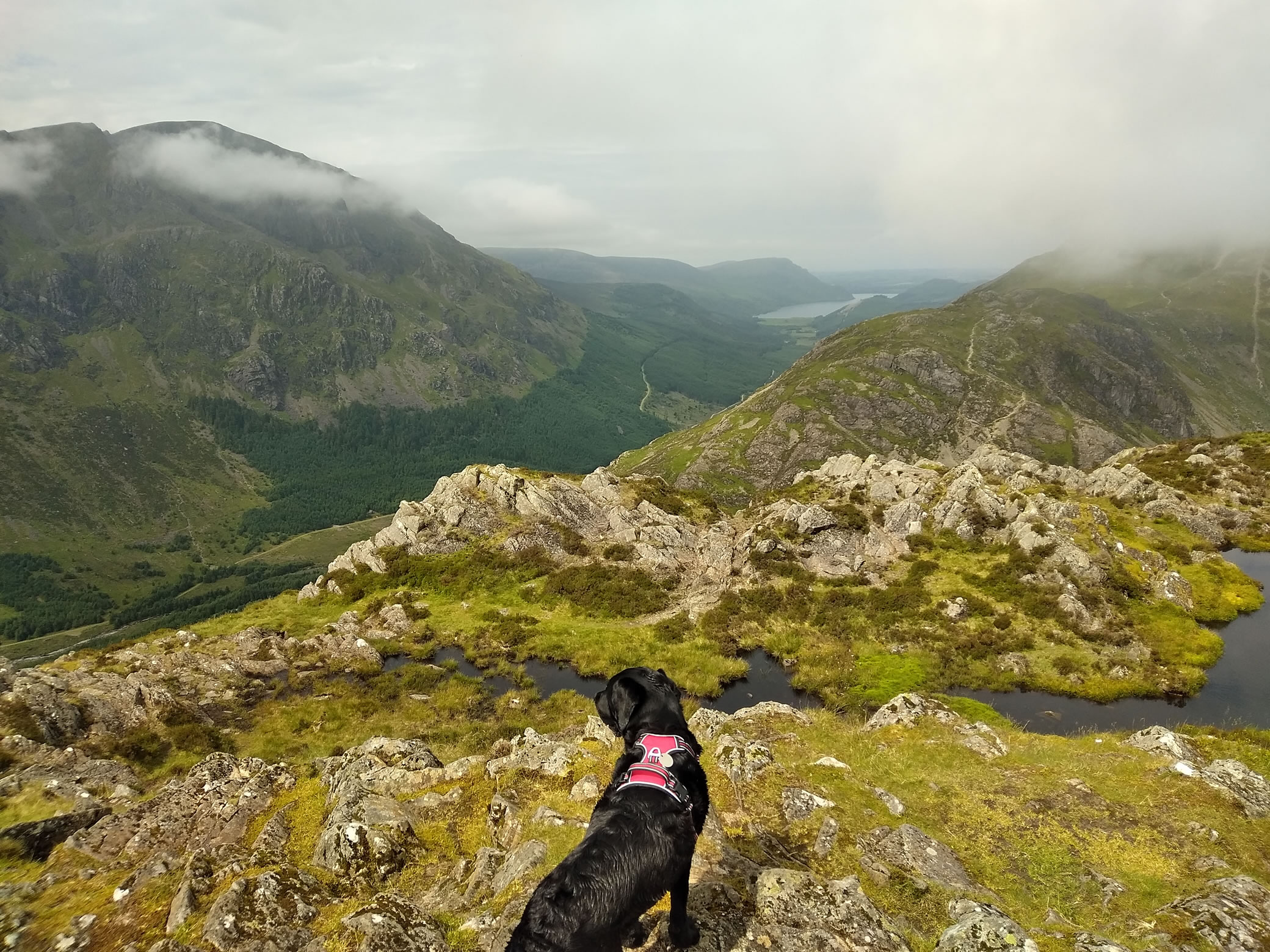
We are totally alone on the fell, looking down here toward Bassenthwaite


Hay Stacks - Image 7, Jun 25, 2024

Hurrah! But those clouds look a bit ominous

Hay Stacks - Image 8, Jun 25, 2024

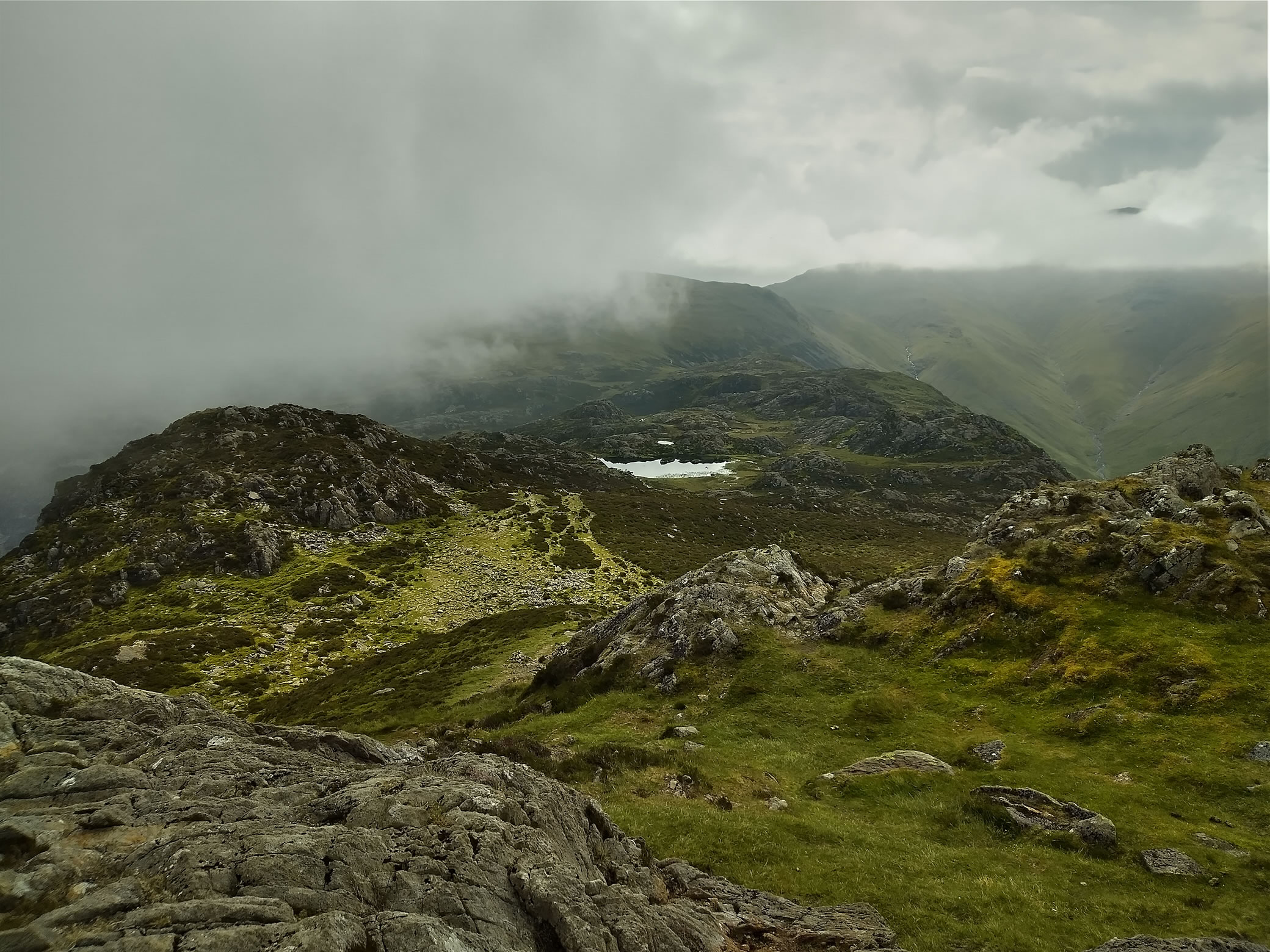
Our first sight of Innominate Tarn.
The view to the left of us has completely disappeared


Hay Stacks - Image 9, Jun 25, 2024

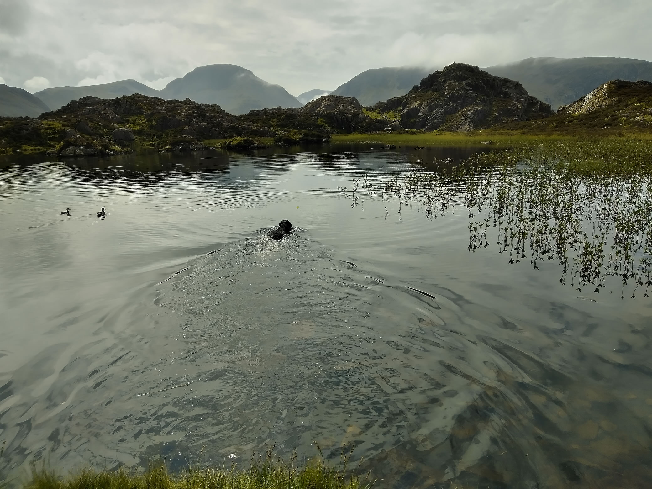
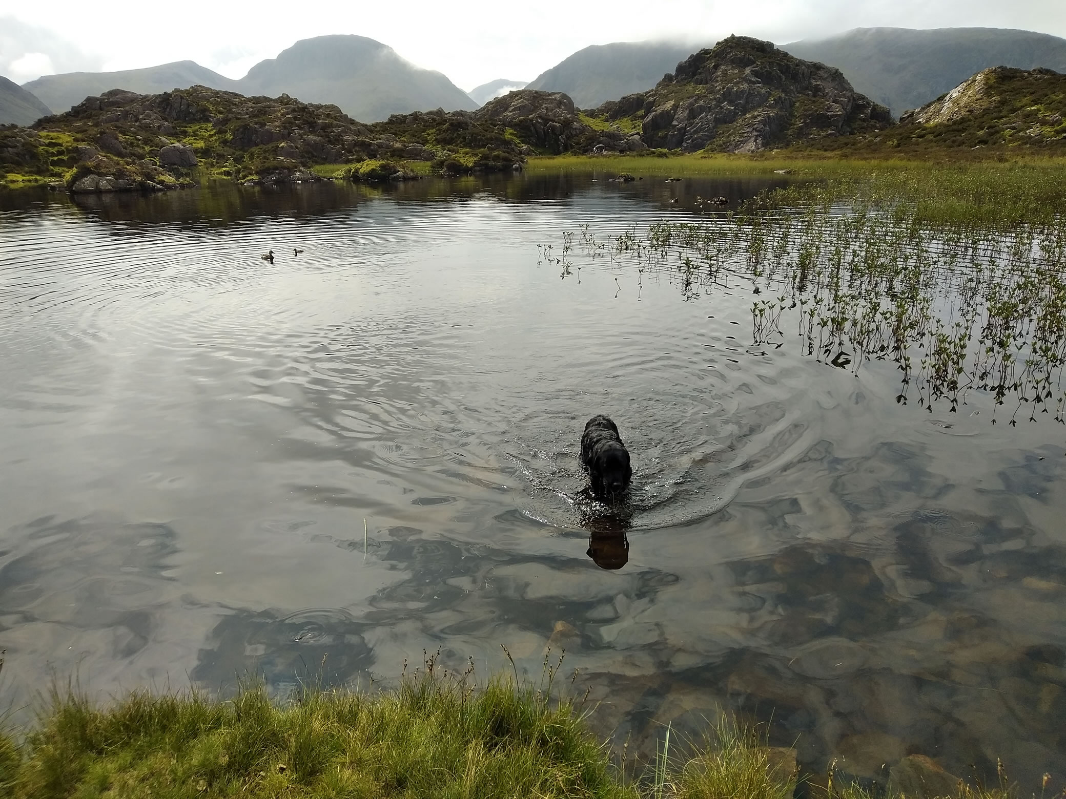
To Indy's delight, a cool down and play in Innominate Tarn.
Her only company, a small family of ducks

Hay Stacks - Image 10, Jun 25, 2024

Further down I met two women coming up from Honister who claimed that there are always ducks in Innominate Tarn because the National Trust puts them there


Still no one around, little did we know that this is far from always the case on Hay Stacks


Hay Stacks - Image 11, Jun 25, 2024

Warnscale Beck, our route back to Gatesgarth. Our path is on the right.
Buttermere straight ahead, Crummock Water beyond.


Hay Stacks - Image 12, Jun 25, 2024

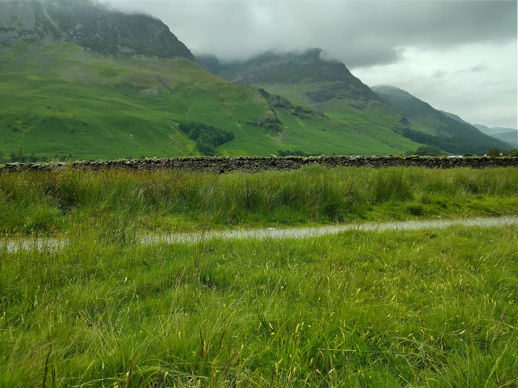
The High Stile Range, covered in cloud. We have our lunch here, bus in 30 mins

Hay Stacks - Image 13, Jun 25, 2024

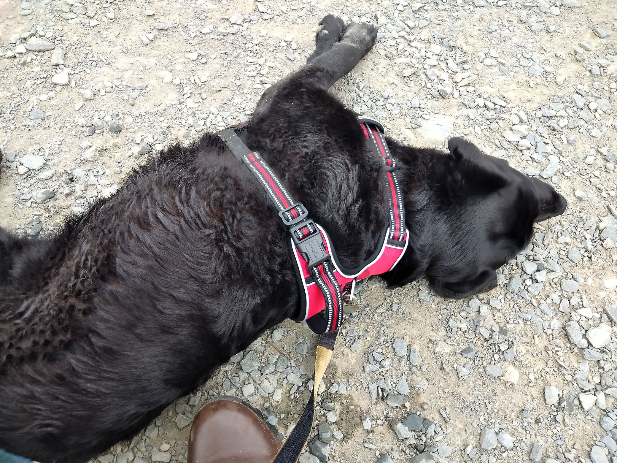
Waiting for the bus, Indy flops to the floor on standby mode


Start: Gatesgarth

1) "Honister rambler" bus from Keswick to Gatesgarth
2) Smallish car park at Gatesgarth [Grid Ref: NY 19455 14999] [GPS 54.523850, -3.245948] View on map

Route

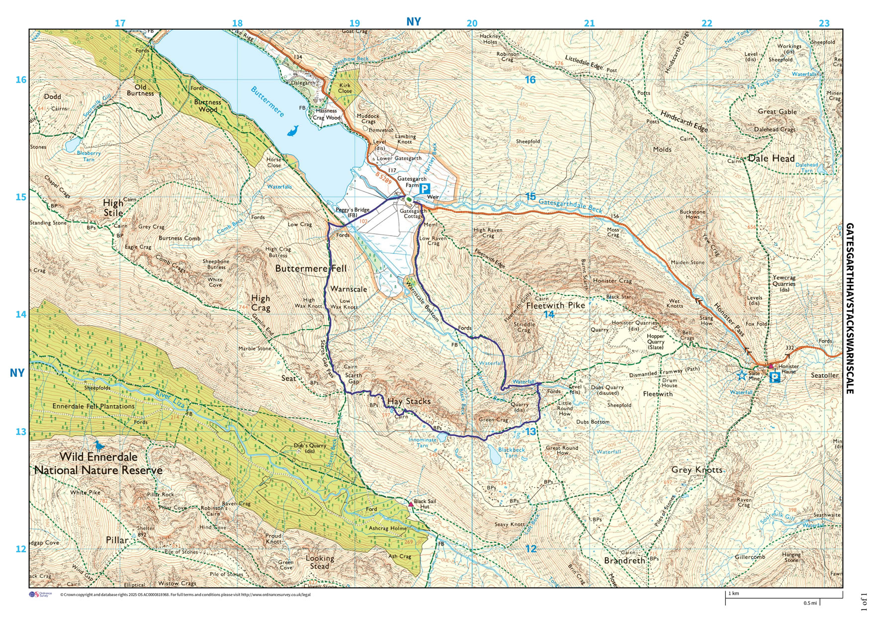
Gatesgarth, Scarth Gap, Hay Stacks, Innominate Tarn, Warnscale Beck
Distance 7.23 km, Time 2.56 h, Total Ascent 570 m
Wainwright Pictorial Guide: The Western Fells

Fells

Hay Stacks 597 m

Titbits

Innominate Tarn - Innominate Tarn on Hay Stacks is a picturesque tarn to the E of Hay Stacks summit. It is smaller than the neighbouring Blackbeck Tarn. Innominate Tarn has importance as the final resting place of Alfred Wainwright.
"Every day that passes is a day less. That day will come when there is nothing left but memories. And afterwards, a last long resting place by the side of Innominate Tarn, on Haystacks, where the water gently laps the gravelly shore and the heather blooms and Pillar and Gable keep unfailing watch. A quiet place, a lonely place. I shall go to it, for the last time, and be carried: someone who knew me in life will take me and empty me out of a little box and leave me there alone. And if you, dear reader, should get a bit of grit in your boot as you are crossing Haystacks in the years to come, please treat it with respect. It might be me."

Please do your own research to verify current routes and information on car parking, bus services and so on
Route maps from Ordnance Survey are scaled 1:25000 unless otherwise indicated.
Distance, Hike Time and Total Ascent as supplied by OS. Image shows planned route.

Distance 7.23 km, Time 2.56 h, Total Ascent 570 m
Route Map and Details


  You are viewing in STD mode for standard images. If you wish to see HD full size images, click here


Full-size image