HD: screen narrow    STD: screen is wide, you could benefit from HD 

    High Stile Ridge [W] GradeGradeGrade
REX    Nov 06, 2026 Buttermere, Bleaberry Tarn, Red Pike, High Stile, High Crag, Seat, Hay Stacks, Warnscale Bottom    Lake: Buttermere      
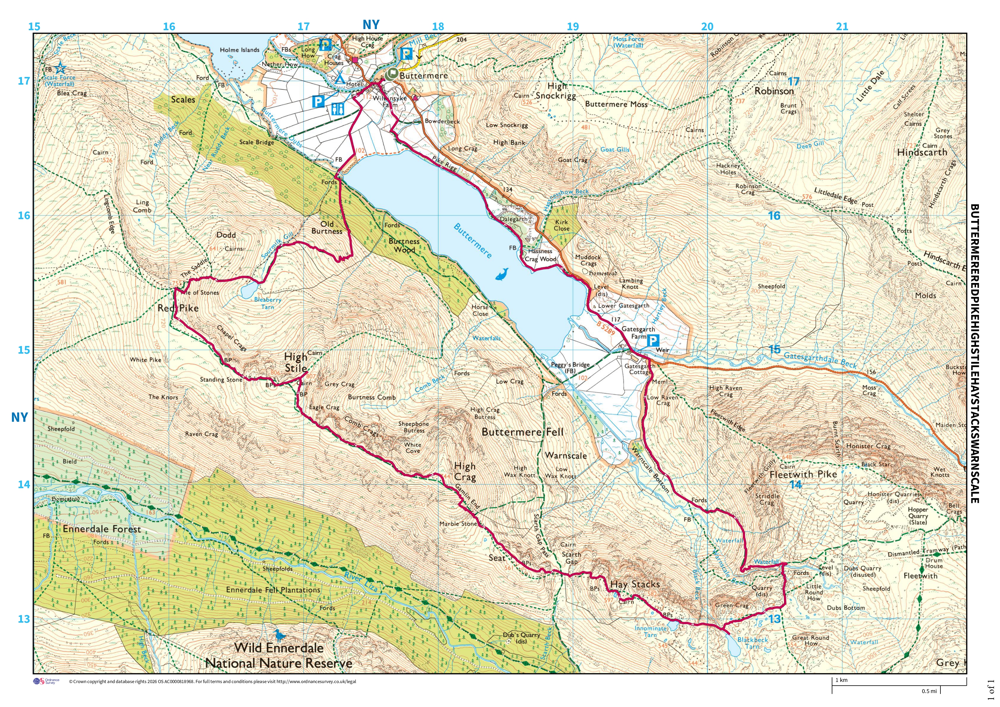
Distance 16.24 km, Time 6.21 h, Total Ascent 1,152 m     Imperial | Metric
Paw REX SAYS: This was a good climb and we spent a while high up on the ridge. My first time climbing Hay Stacks from the West - a little tricky with the rocks but I made it OK
  Sunny spells through cloud, cold  

We were stymied a couple of days ago, so today we set off with renewed determination to tackle the Red Pike - High Stile ridge. After dropping down to Scarth Gap we go on to Hay Stacks (usual route) and return via Warnscale Bottom to complete a big loop

High Stile Ridge - Image 2, Nov 06, 2026
High Stile Ridge - Image 3, Nov 06, 2026

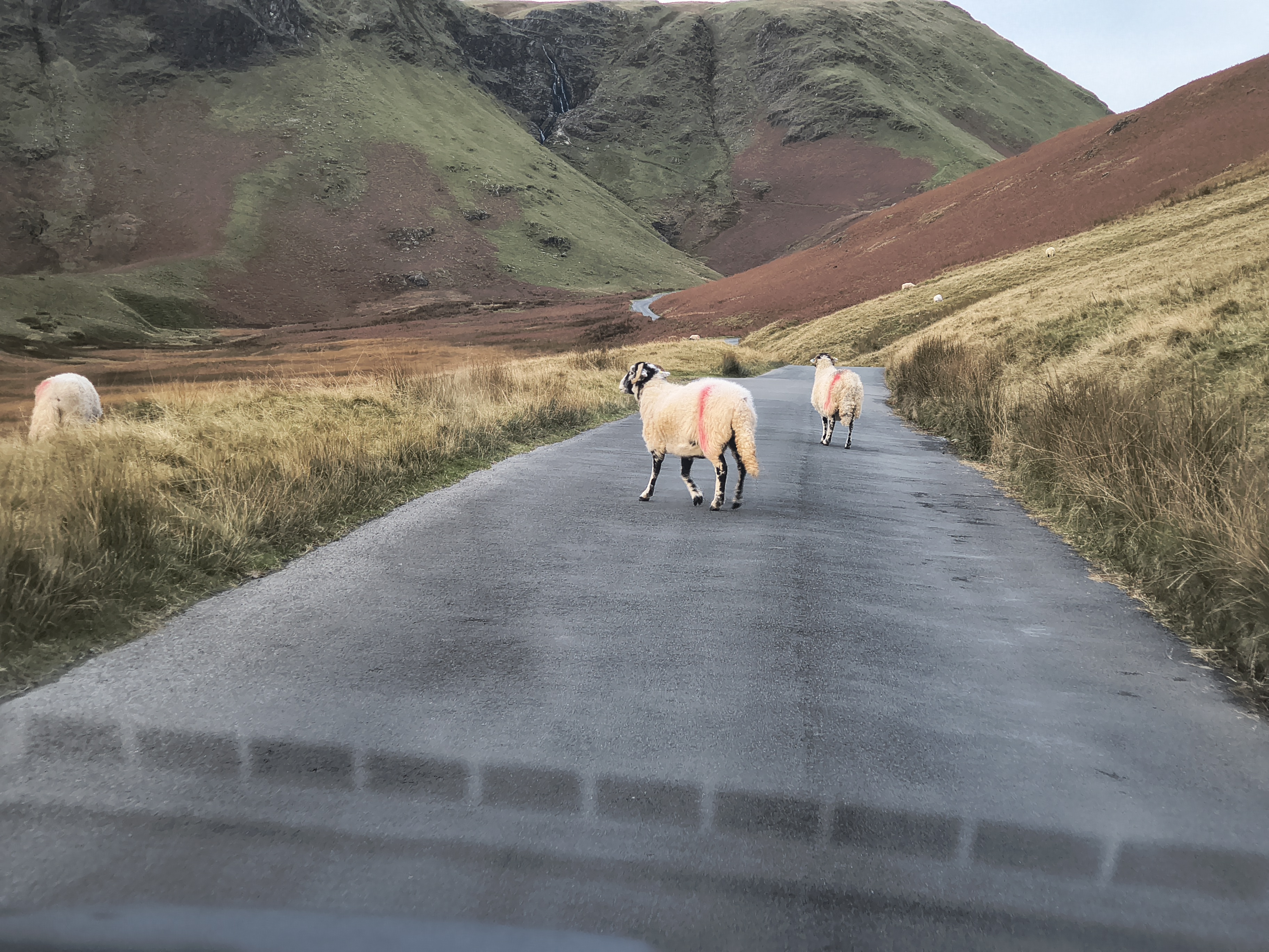
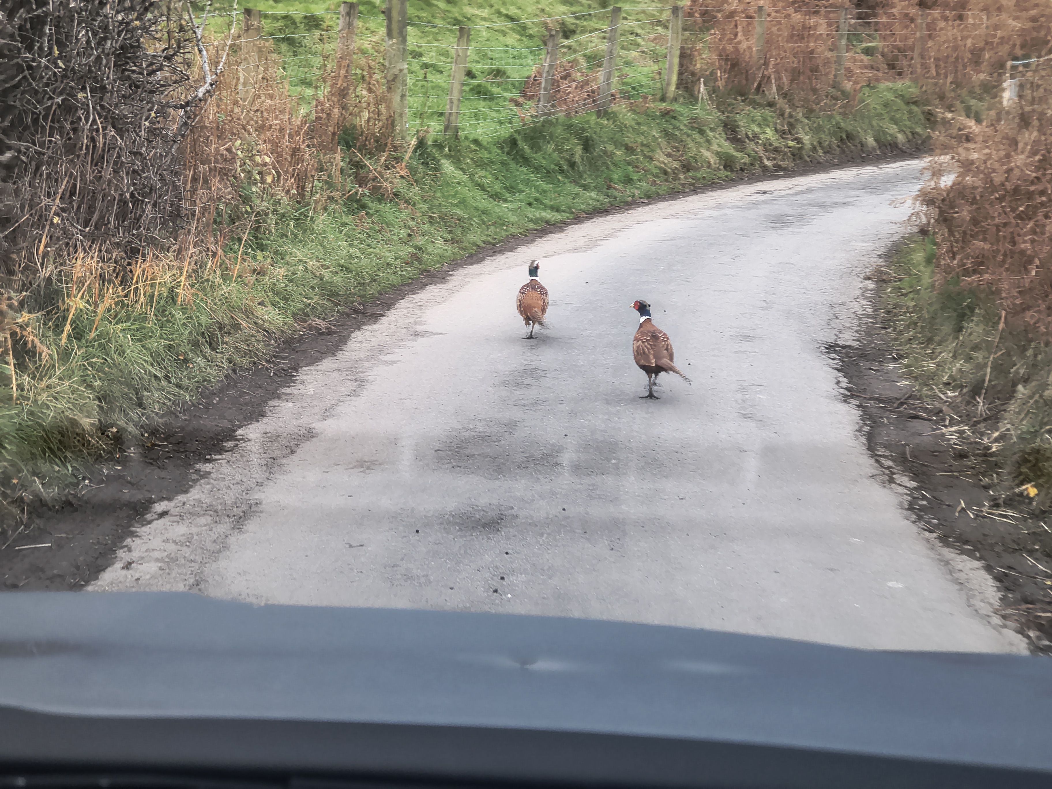
We make our way to Buttermere from Portinscale via Newlands Hause, with the usual obtacles en route...

High Stile Ridge - Image 4, Nov 06, 2026

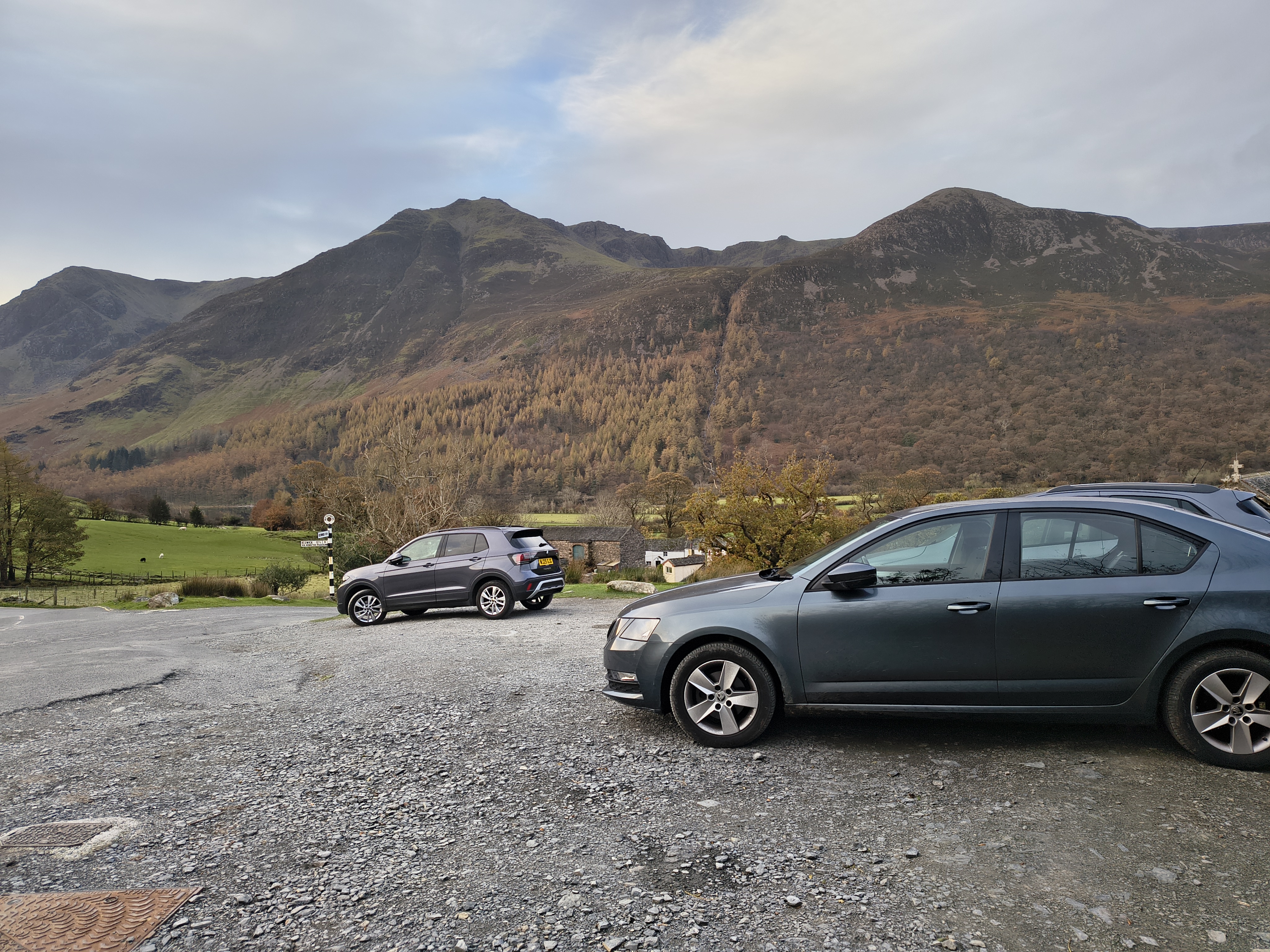
Parked up in Buttermere by 8:30 - looks promising

High Stile Ridge - Image 5, Nov 06, 2026

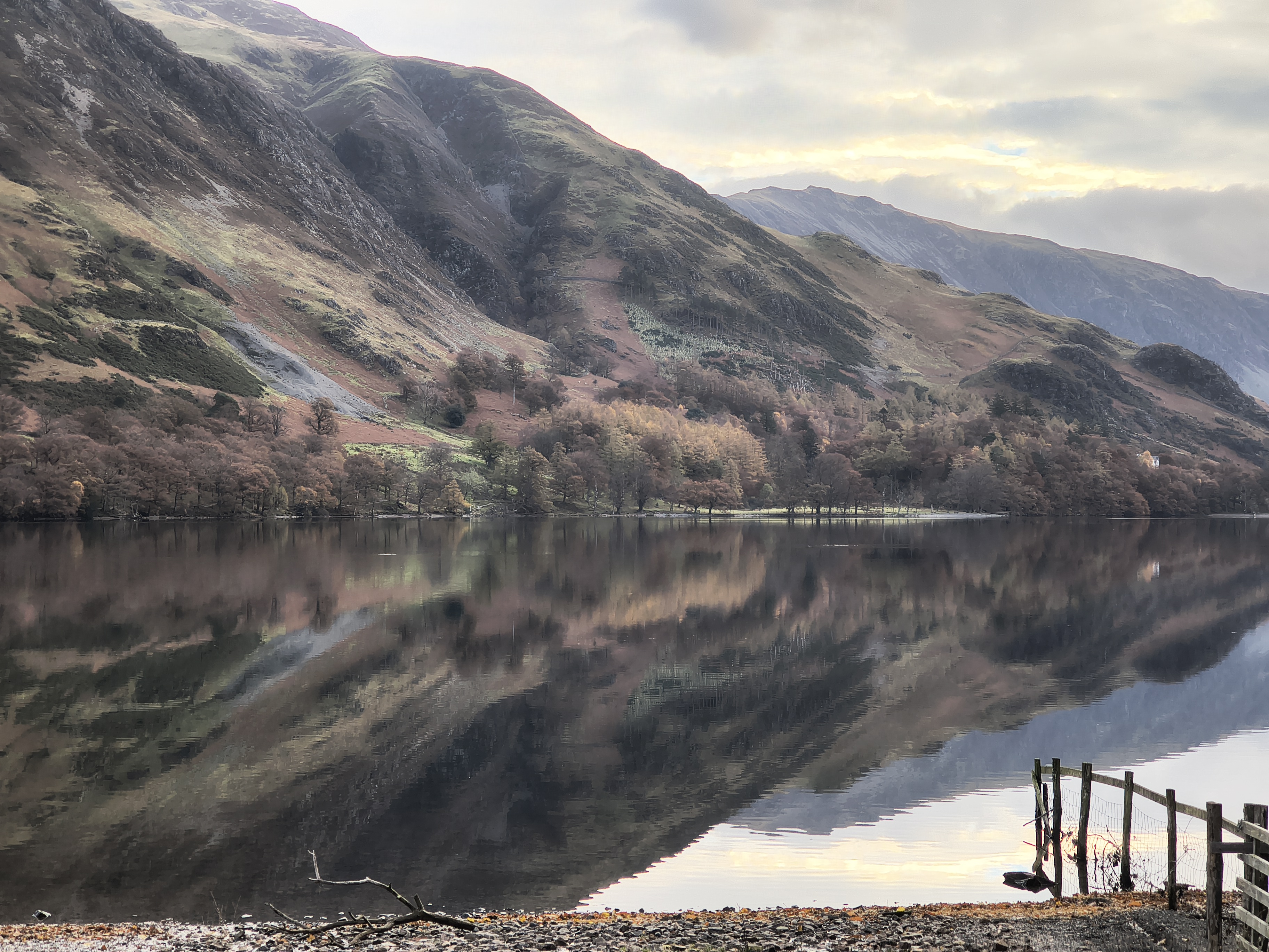
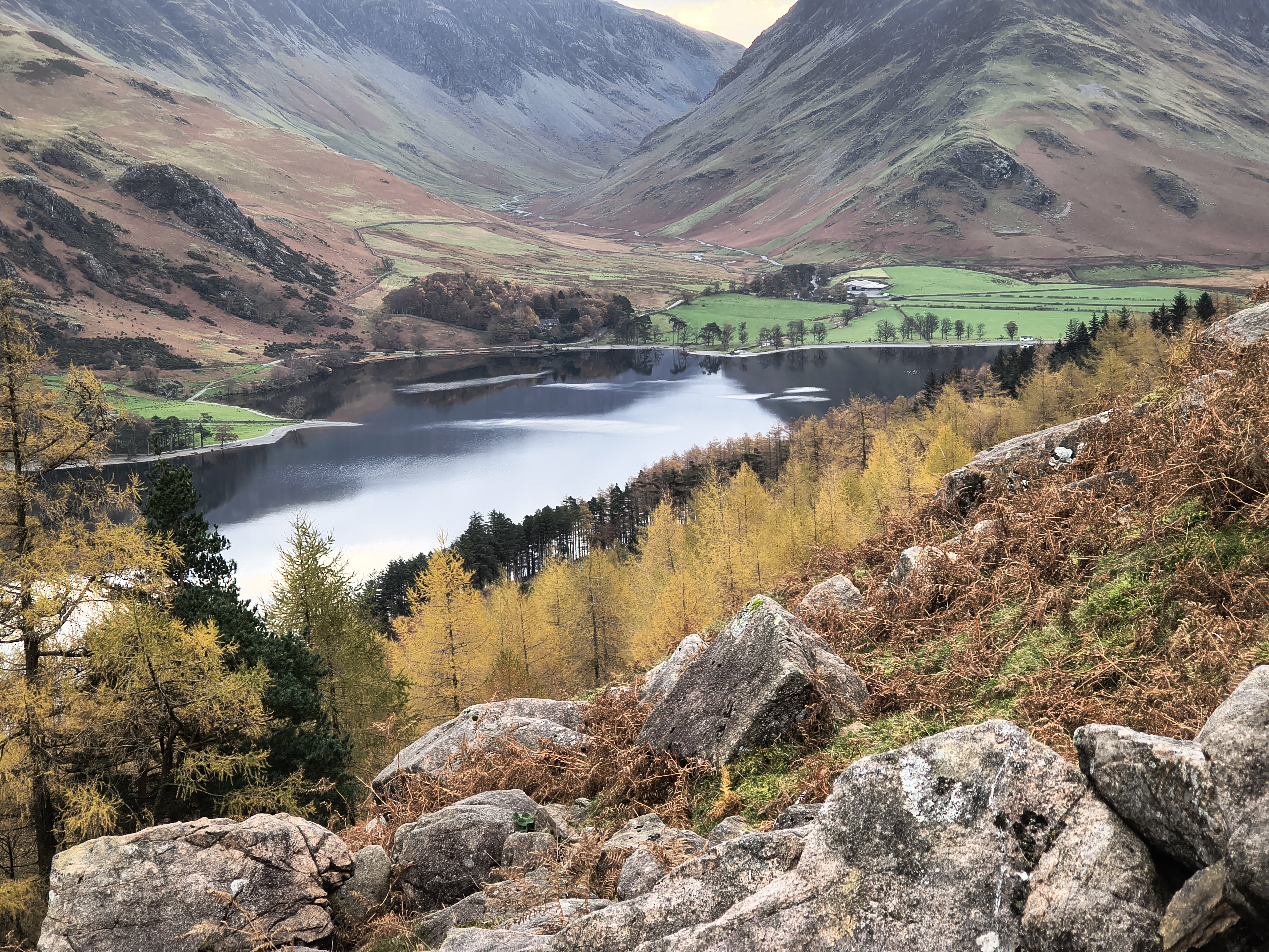
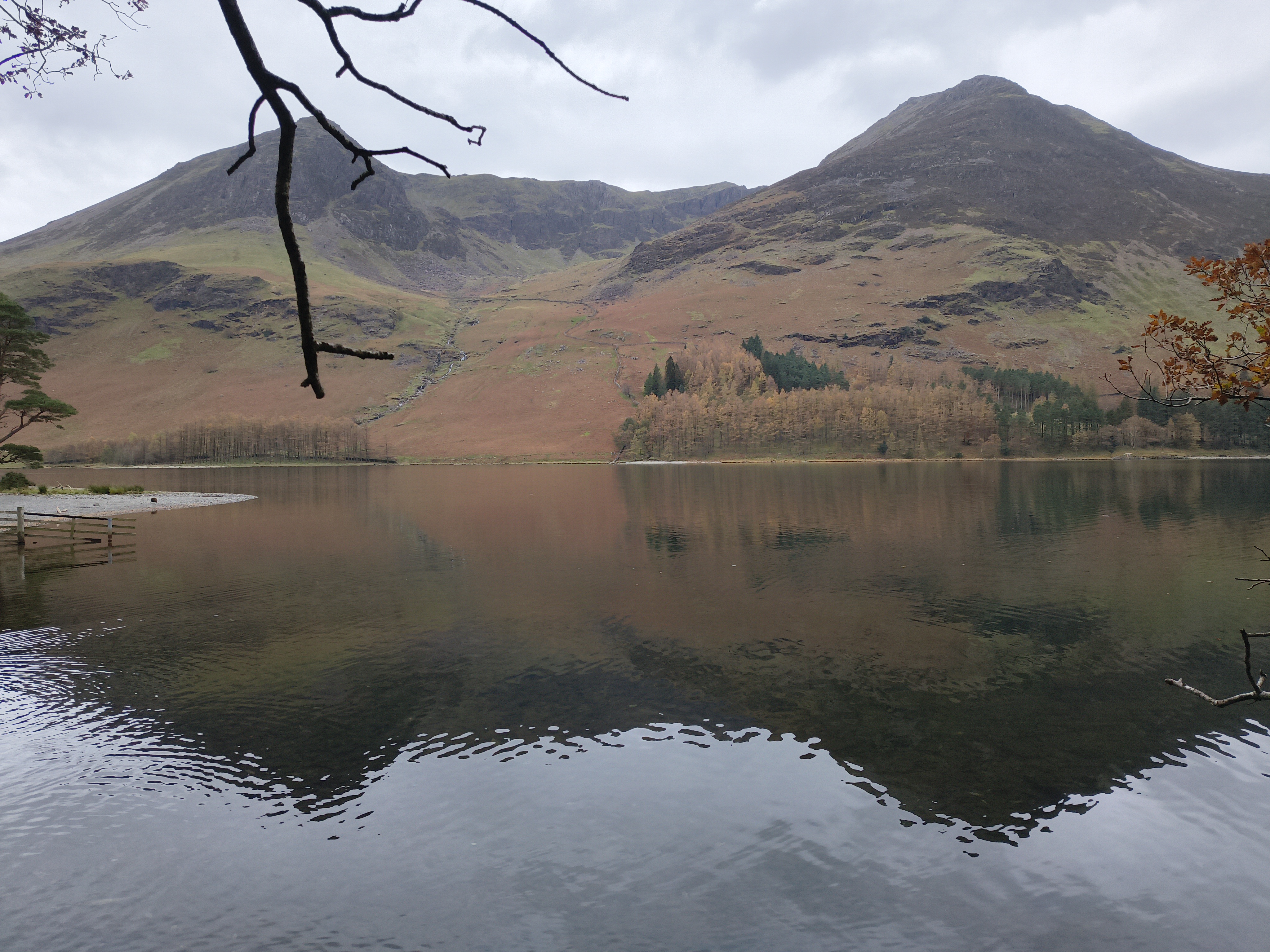
A quick pic of Buttermere before

High Stile Ridge - Image 6, Nov 06, 2026

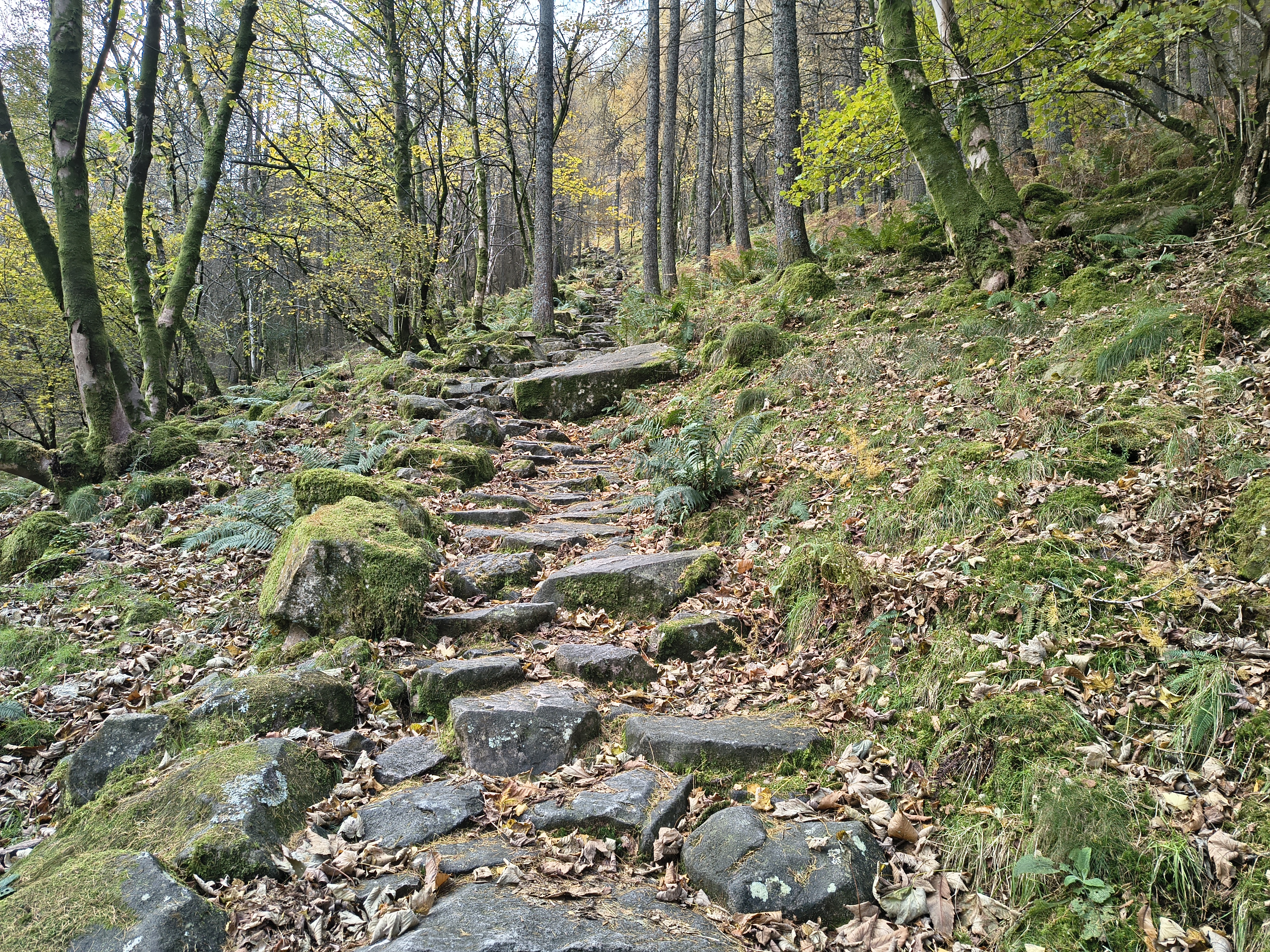
we start the immediate ascent to Bleaberry Tarn

High Stile Ridge - Image 7, Nov 06, 2026

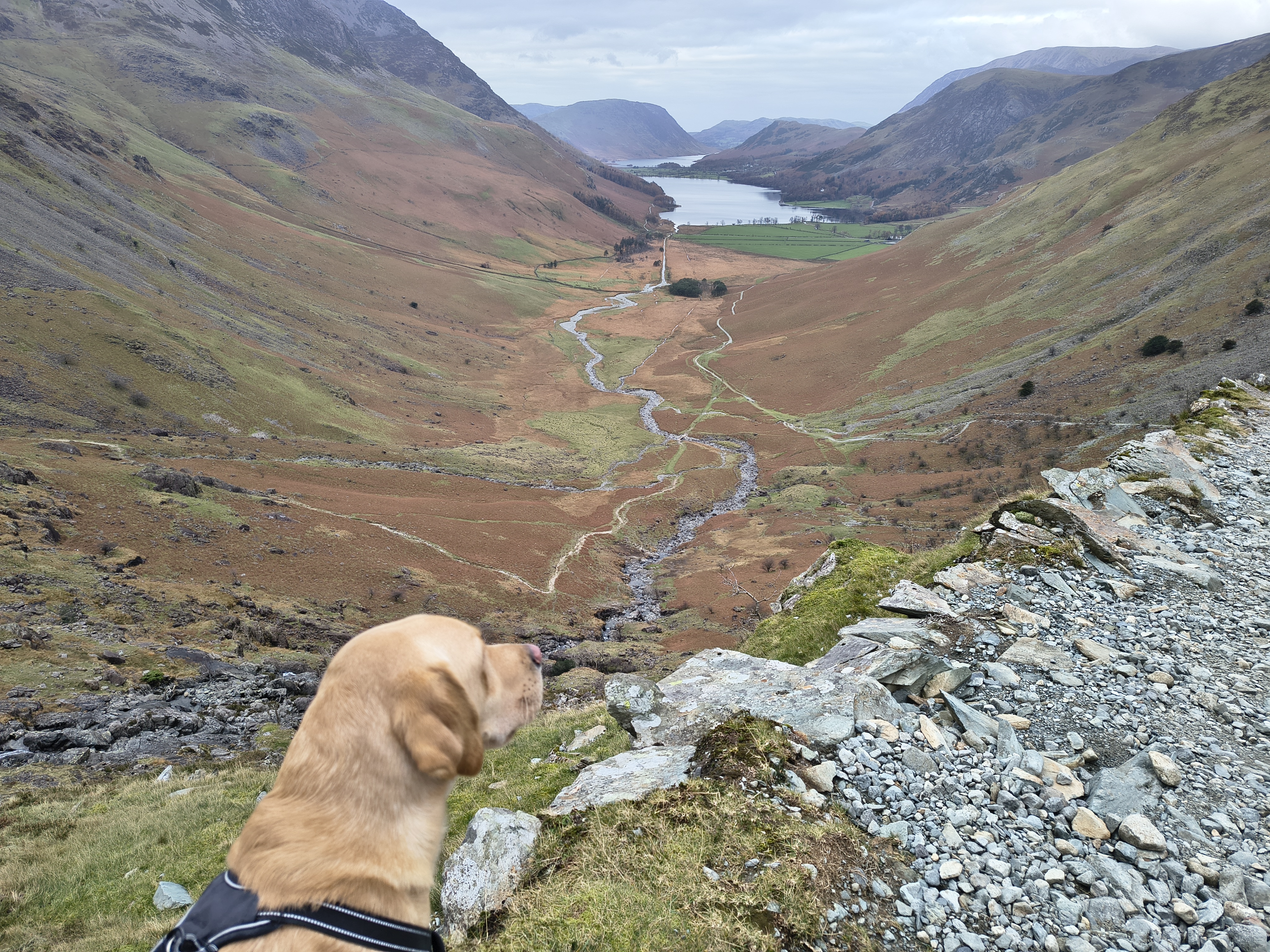
Looking back in the direction of Gatesgarth / Honister Pass

High Stile Ridge - Image 8, Nov 06, 2026

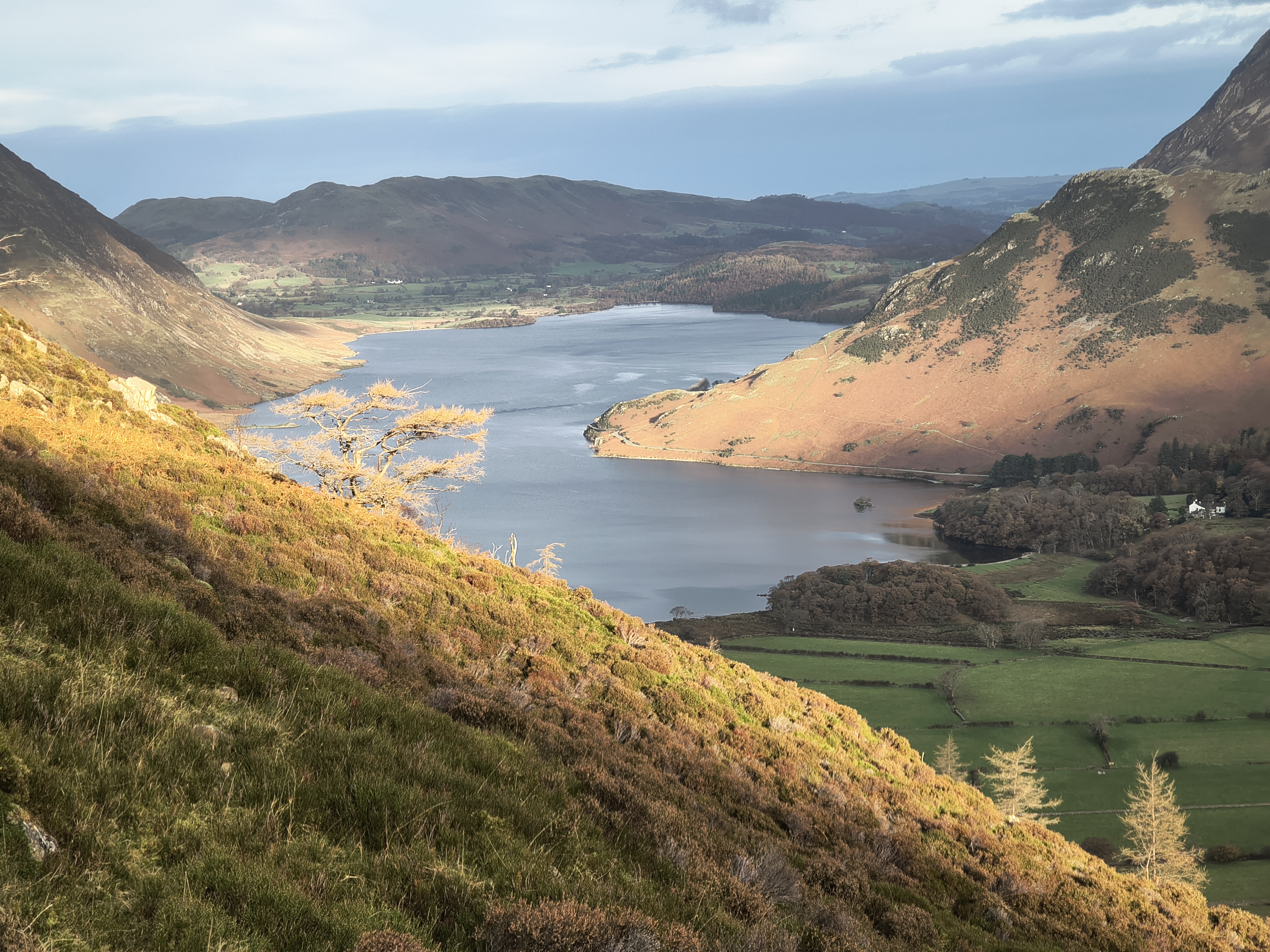
And in the other direction towards Crummock Water

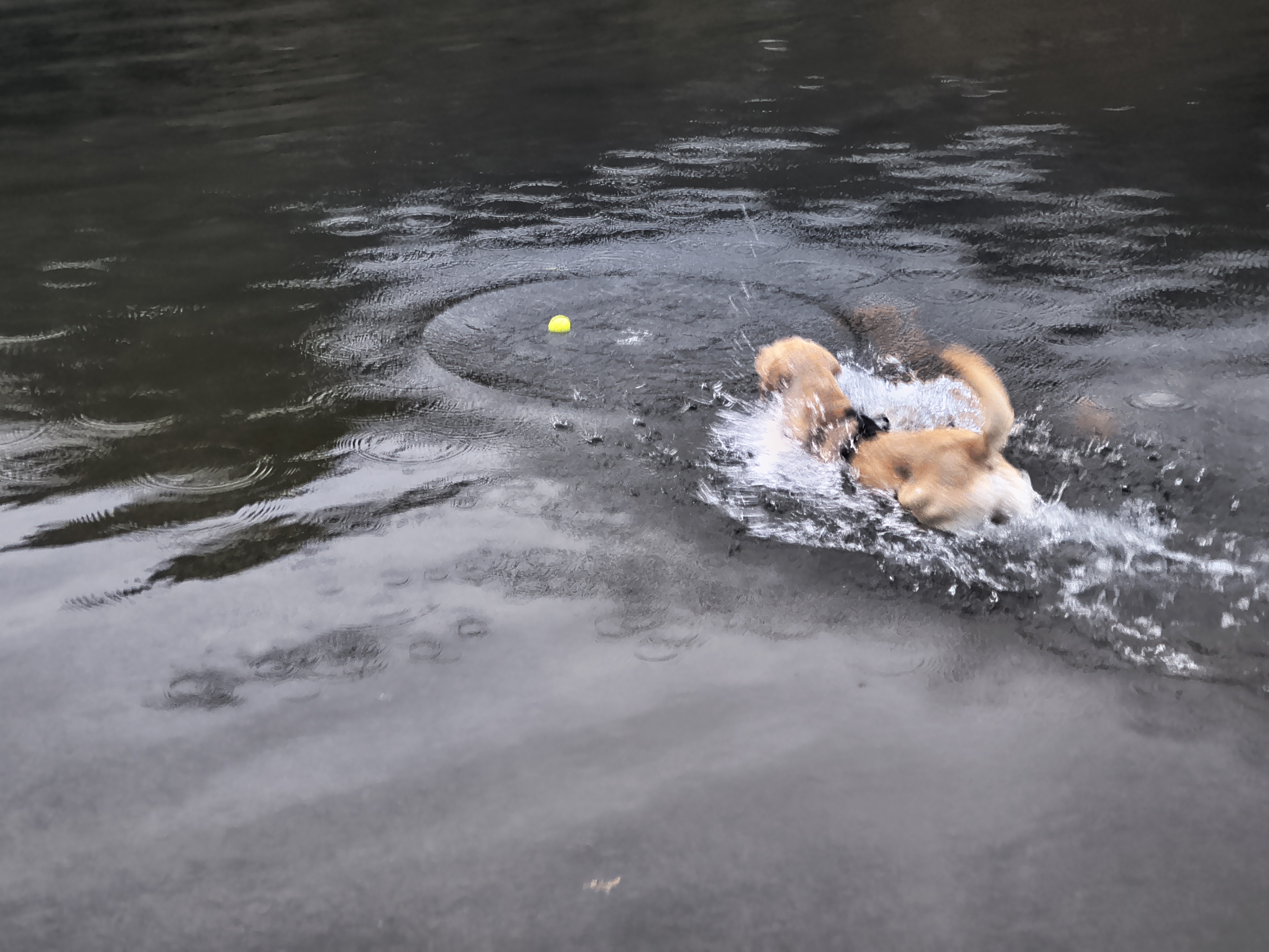
Rex has a quick drink from Sourmilk Gill

High Stile Ridge - Image 9, Nov 06, 2026

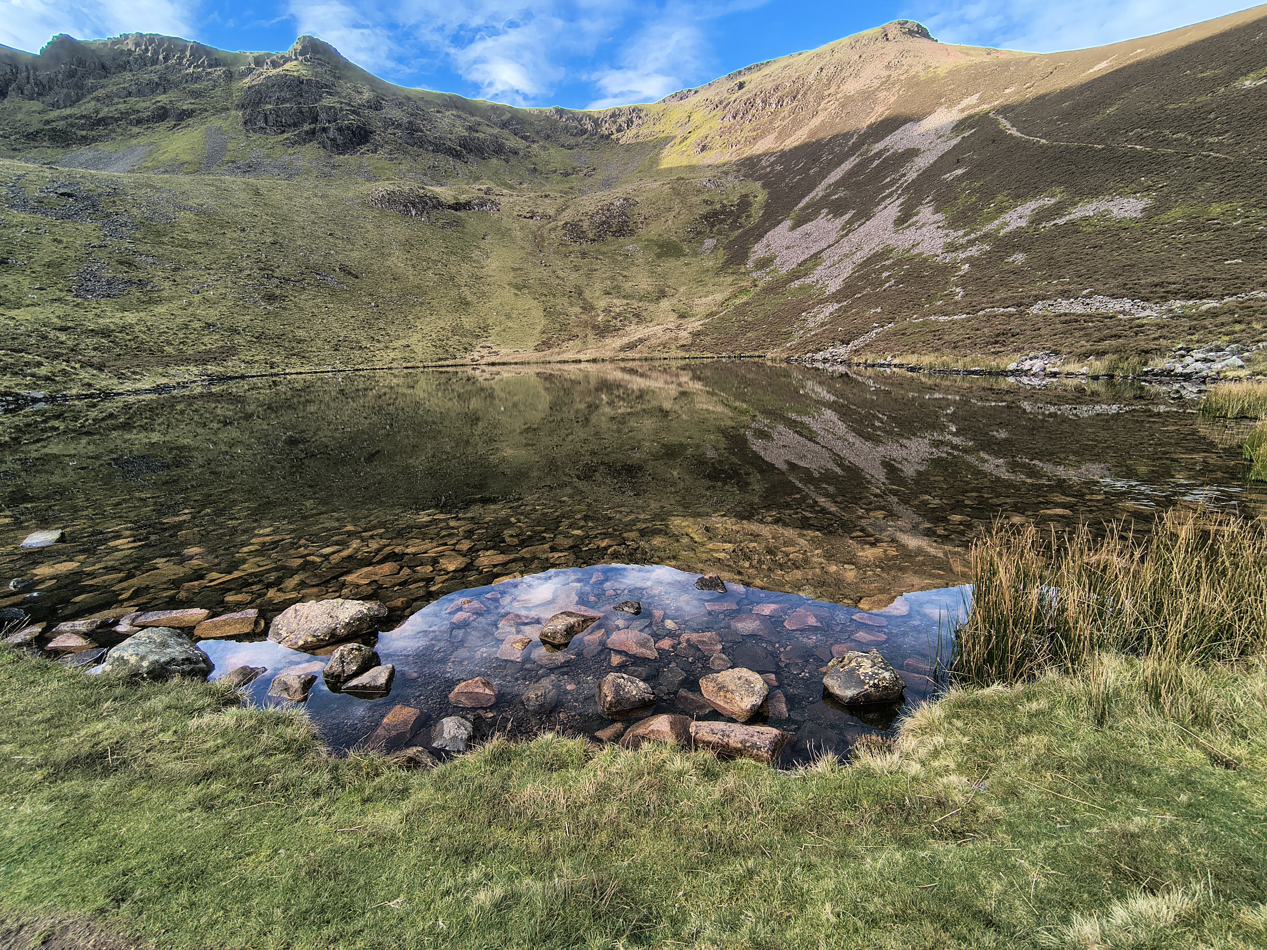
And here we are in November at a very calm, partially sunny Bleaberry Tarn. (Unlike June 2024 !)

High Stile Ridge - Image 10, Nov 06, 2026

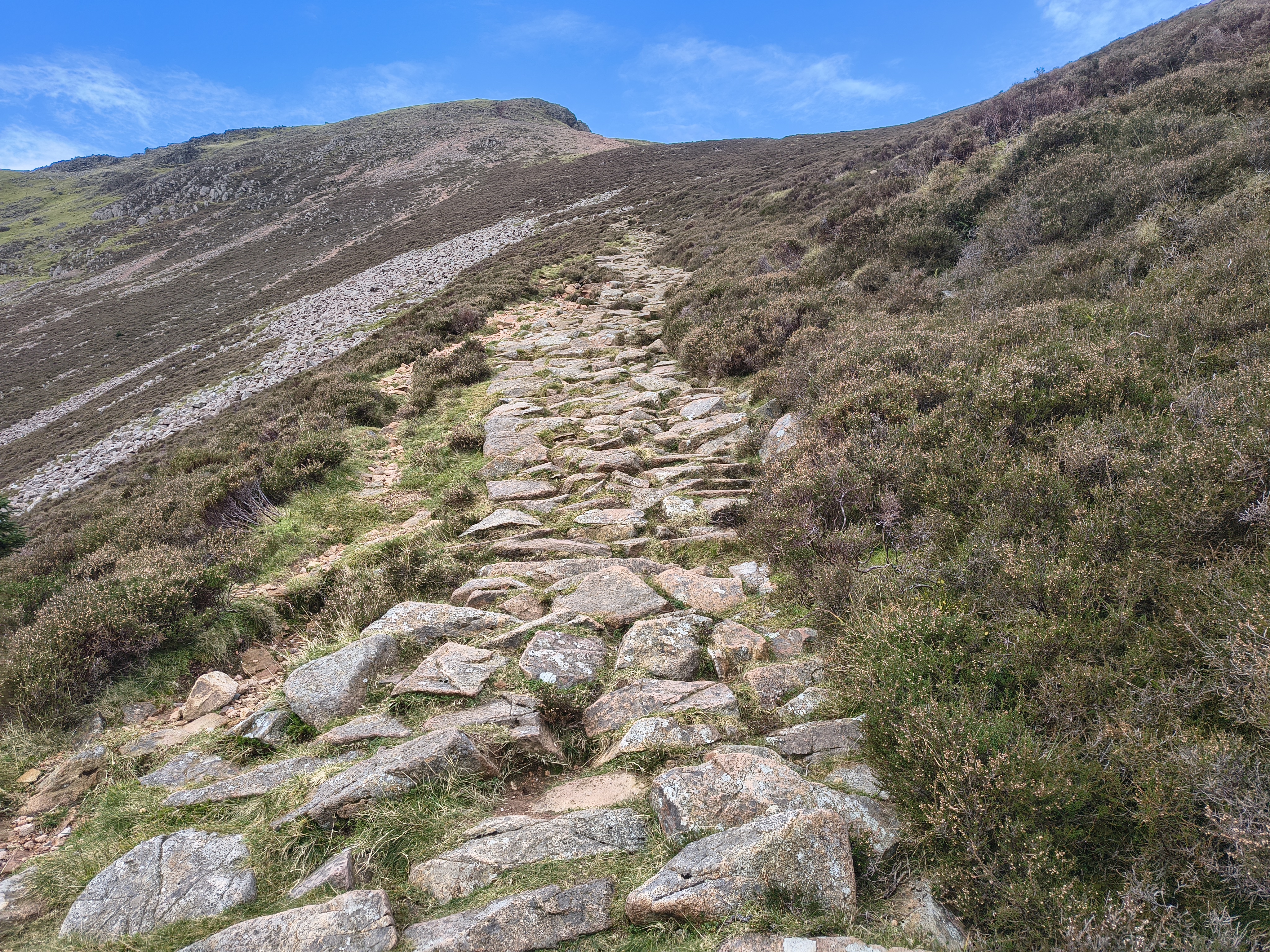
Initial path from Bleaberry Tarn to Red Pike

High Stile Ridge - Image 11, Nov 06, 2026

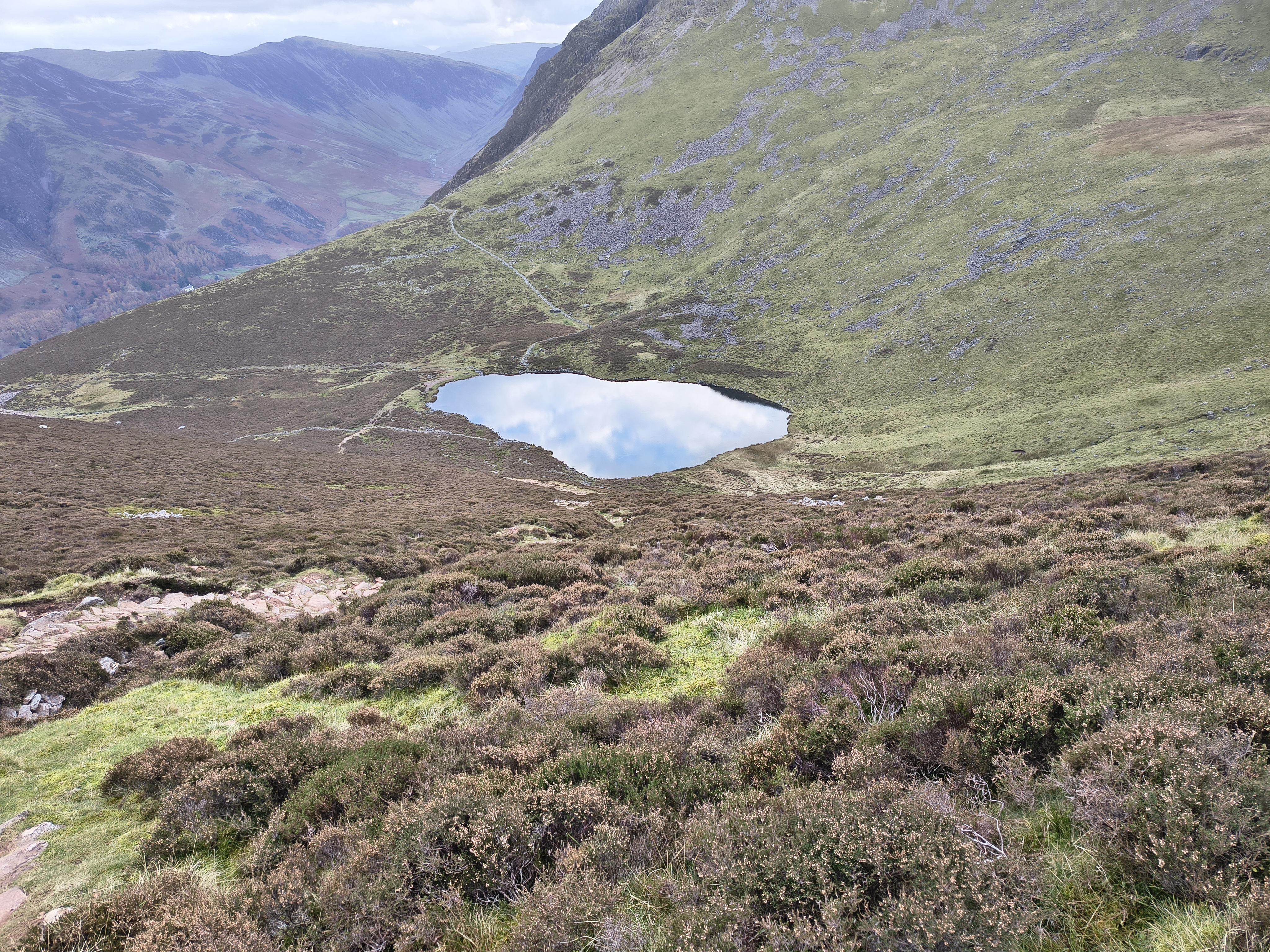
Looking back to the tarn (taking a pic is a chance for a quick rest)

High Stile Ridge - Image 12, Nov 06, 2026

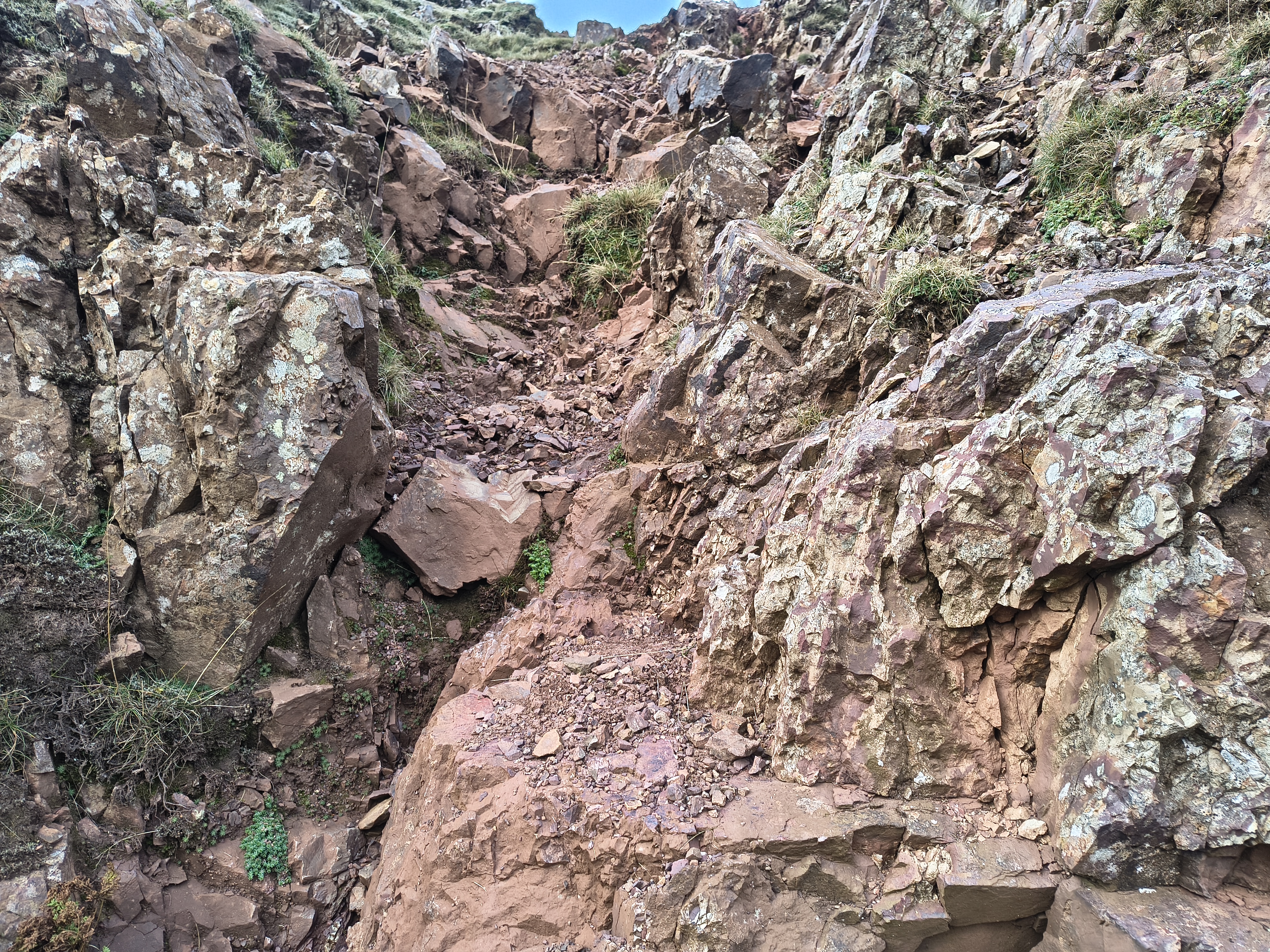
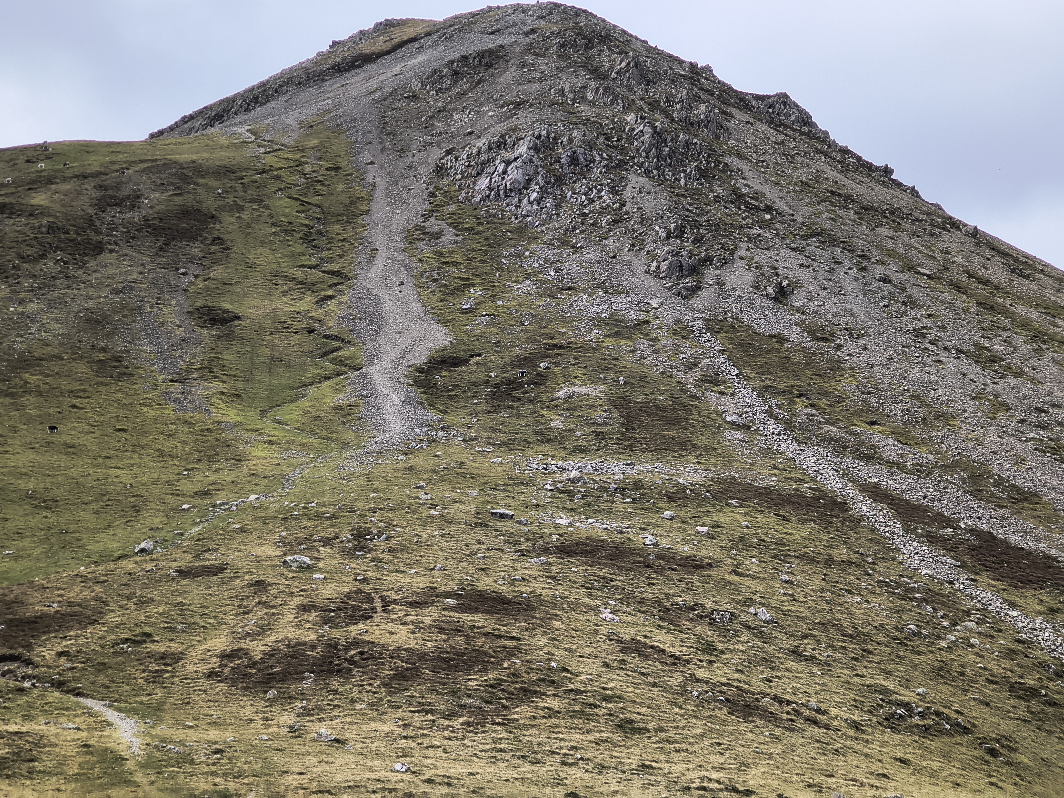
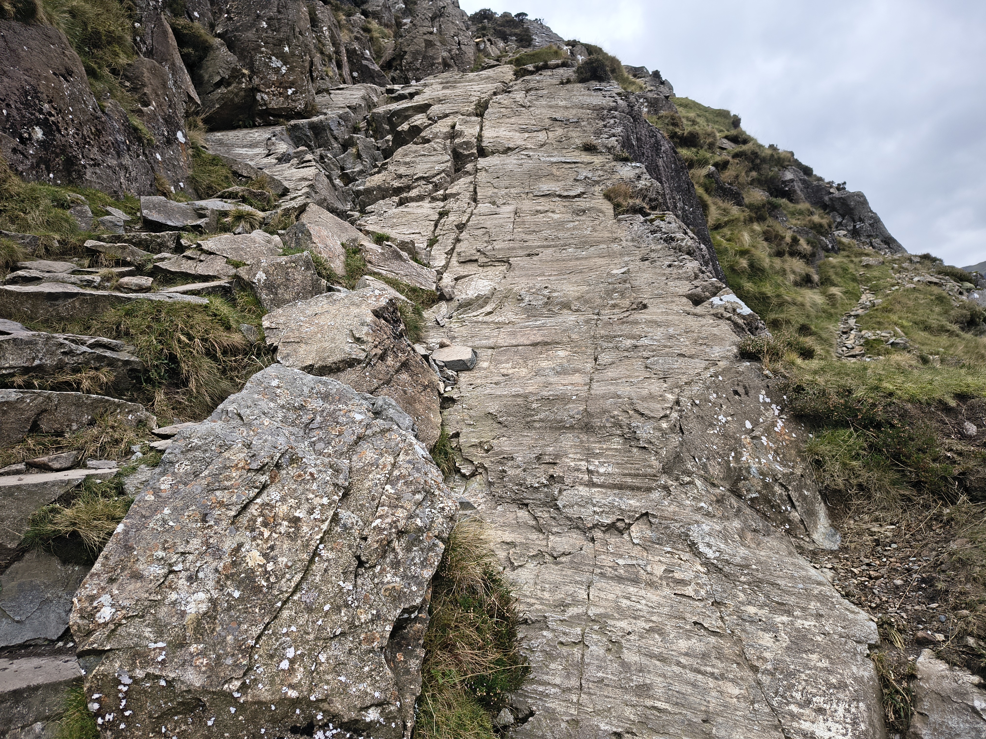
We decide to attack the final part of the ascent head on - a bit of a rocky scramble up a gully through the red rocks. You can avoid this by deviating a fair bit to the left as shown on the planned route

High Stile Ridge - Image 13, Nov 06, 2026

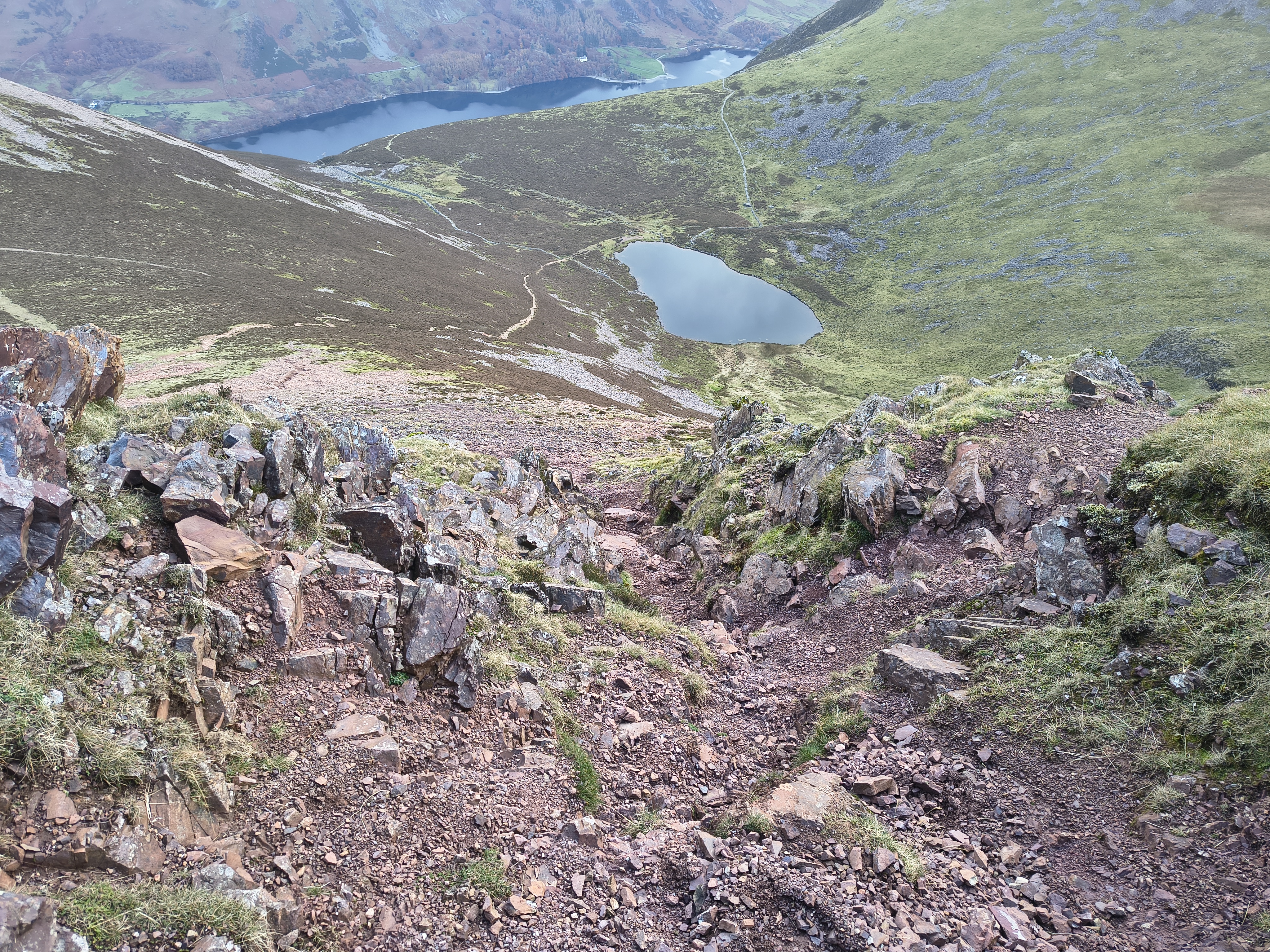
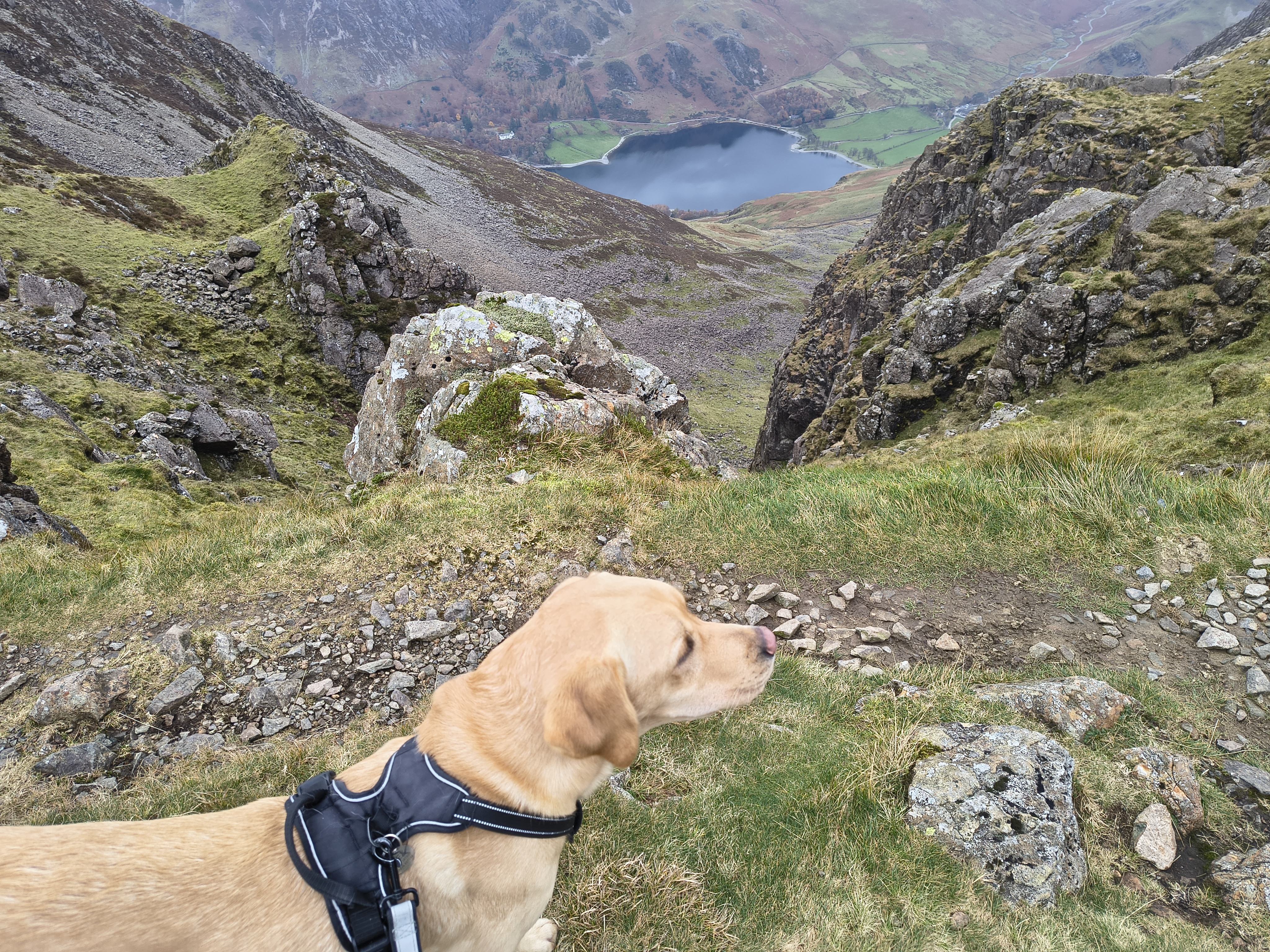
We do feel high up in this steep gully. Bleaberry Tarn with Buttermere beyond

High Stile Ridge - Image 14, Nov 06, 2026

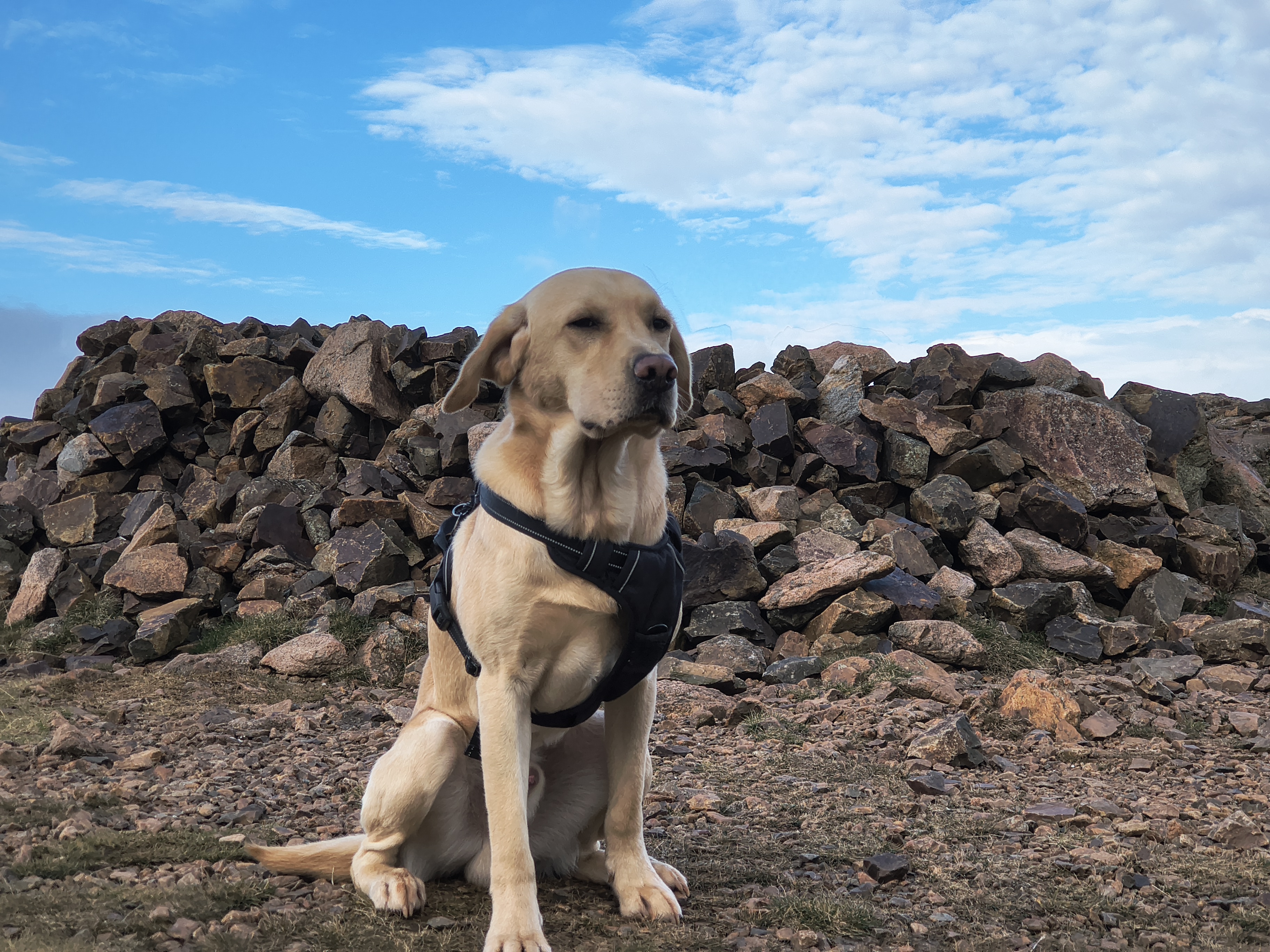
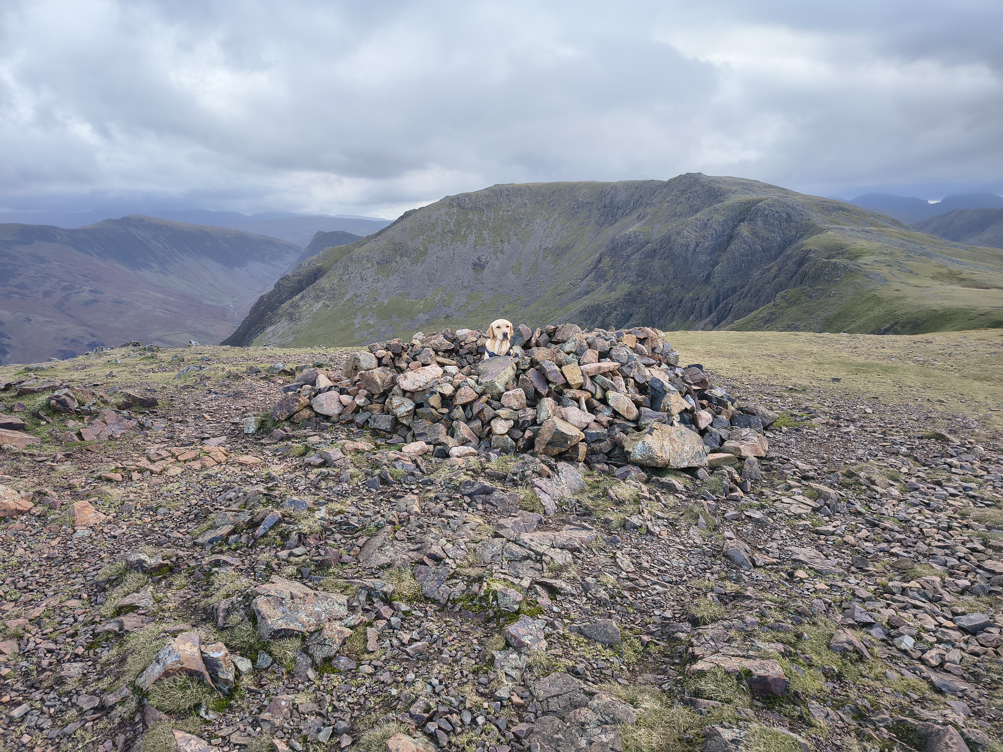
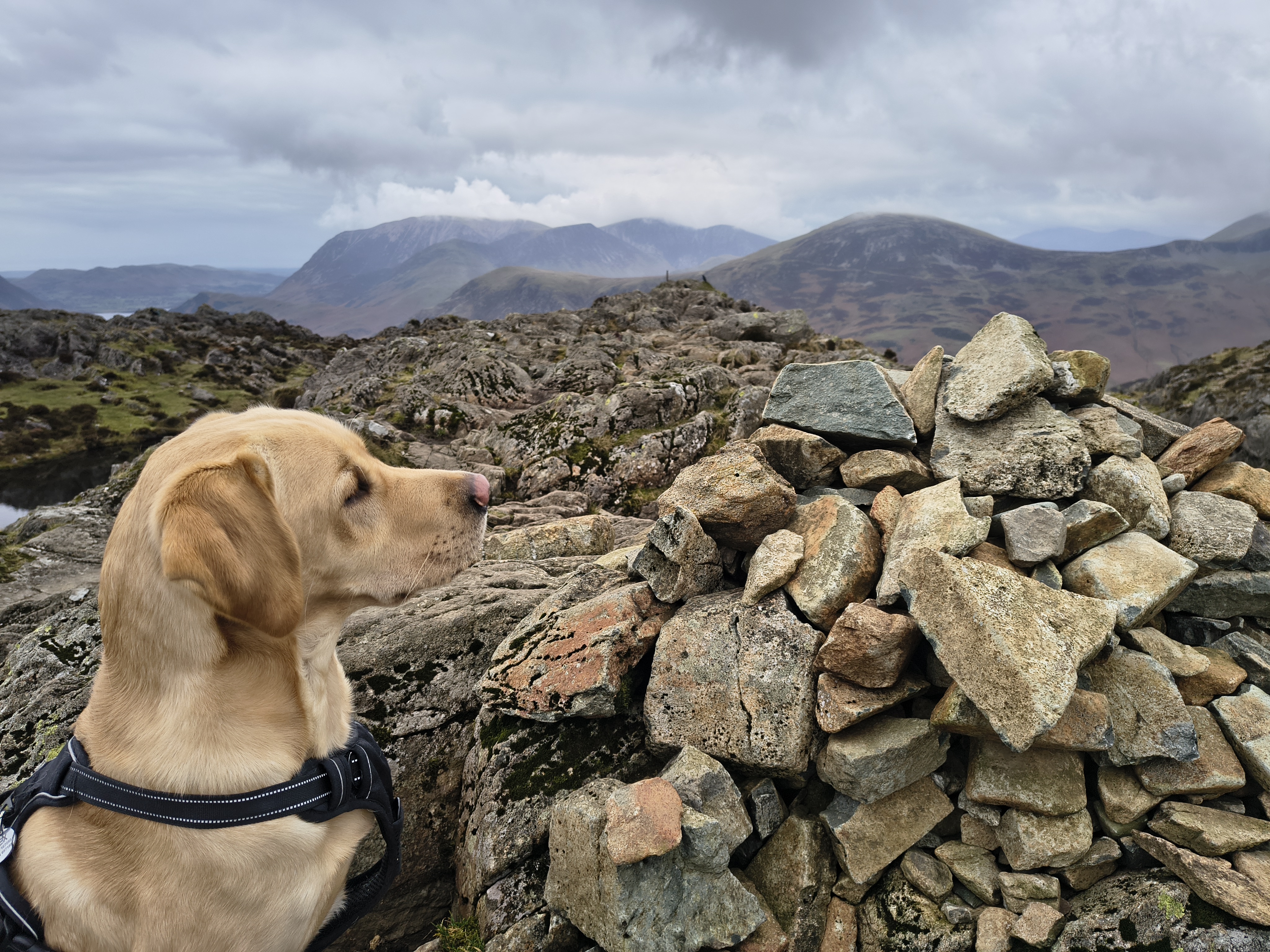
Rex at the sheepfold on Red Pike summit

High Stile Ridge - Image 15, Nov 06, 2026

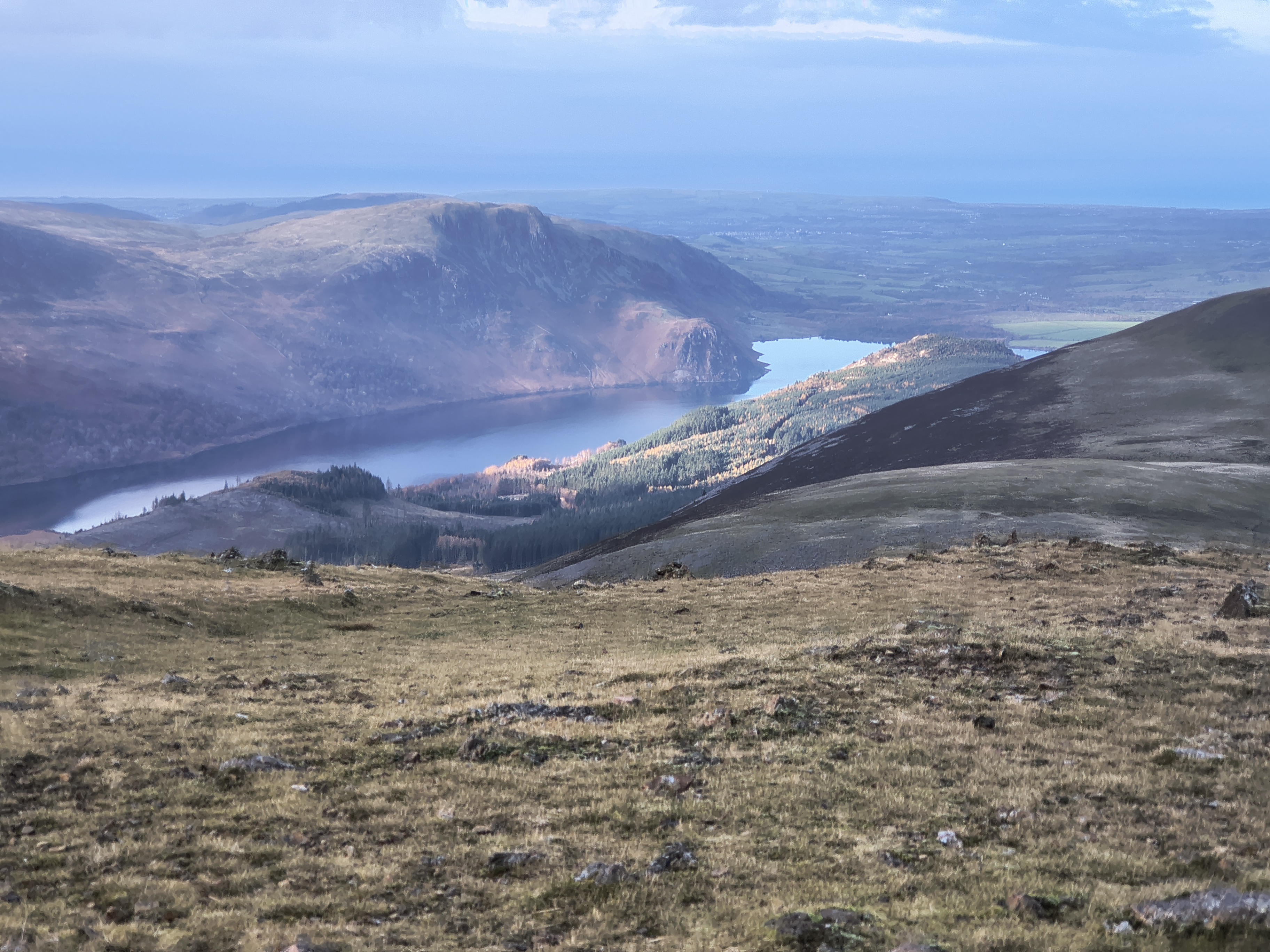
From Red Pike summit, this is looking over towards Ennerdale Water

High Stile Ridge - Image 16, Nov 06, 2026

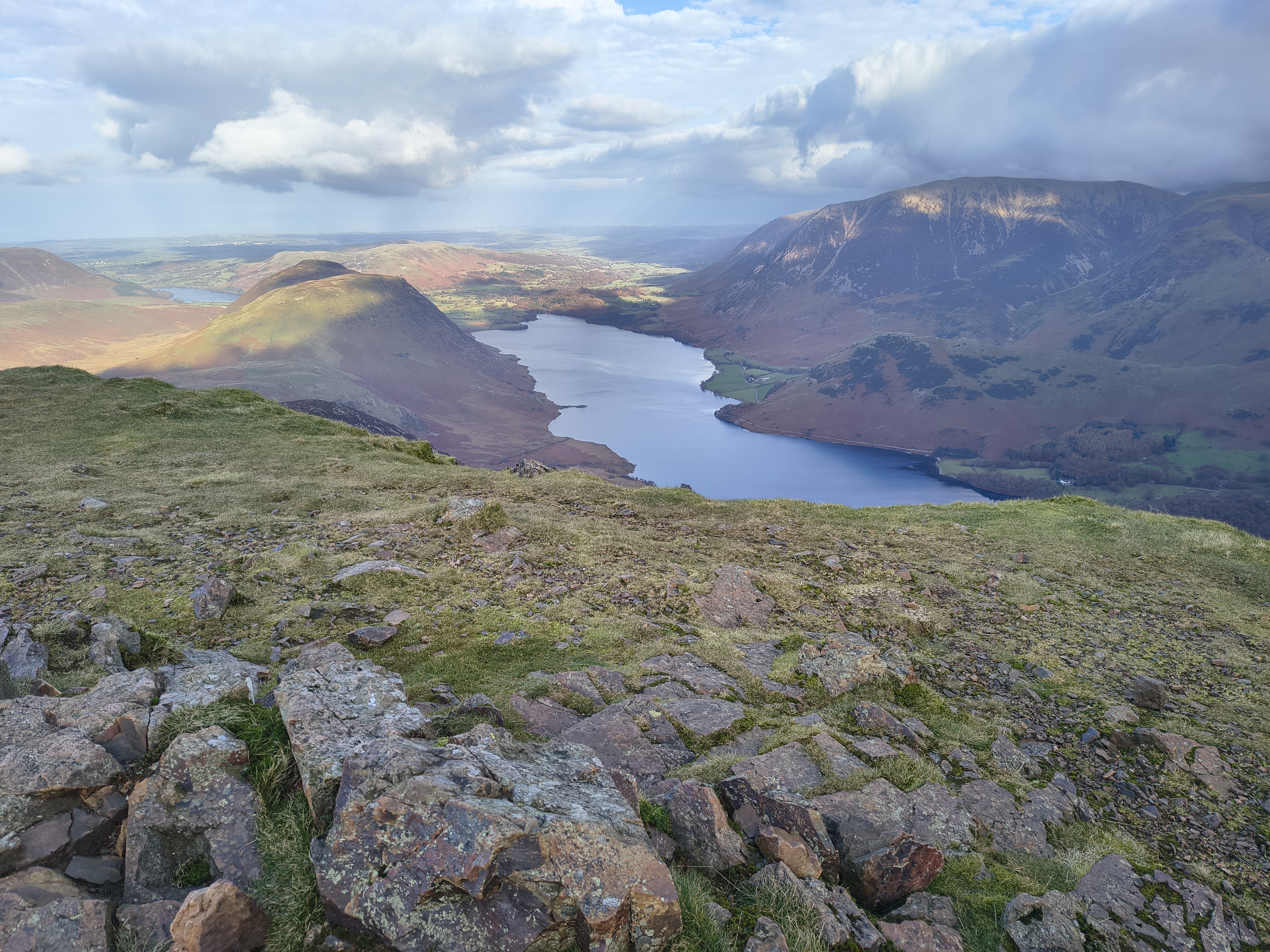
and this is towards Crummock Water

High Stile Ridge - Image 17, Nov 06, 2026

We can clearly see the ridge that forms the next part of our hike. A lot of cloud in the distance but not yet on our ridge. Rex seems to like the sheepfold - we briefly shelter for a hot coffee for me and a snack for Rex. However, the wind is quite strong here and I don't want to cool down too much so we push on

High Stile Ridge - Image 18, Nov 06, 2026

The summit of High Stile, for which you have to walk a little NE from the path

High Stile Ridge - Image 19, Nov 06, 2026

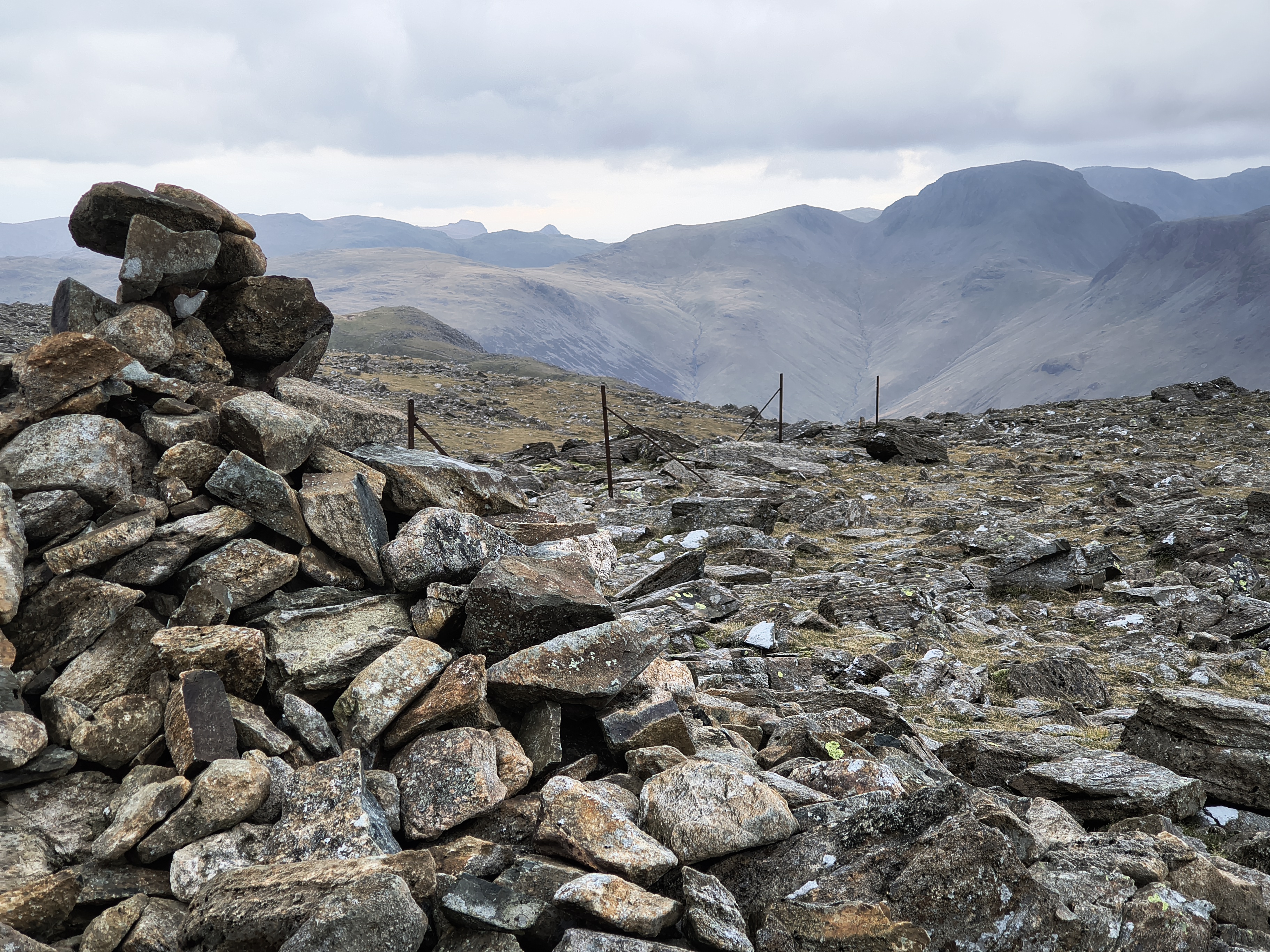
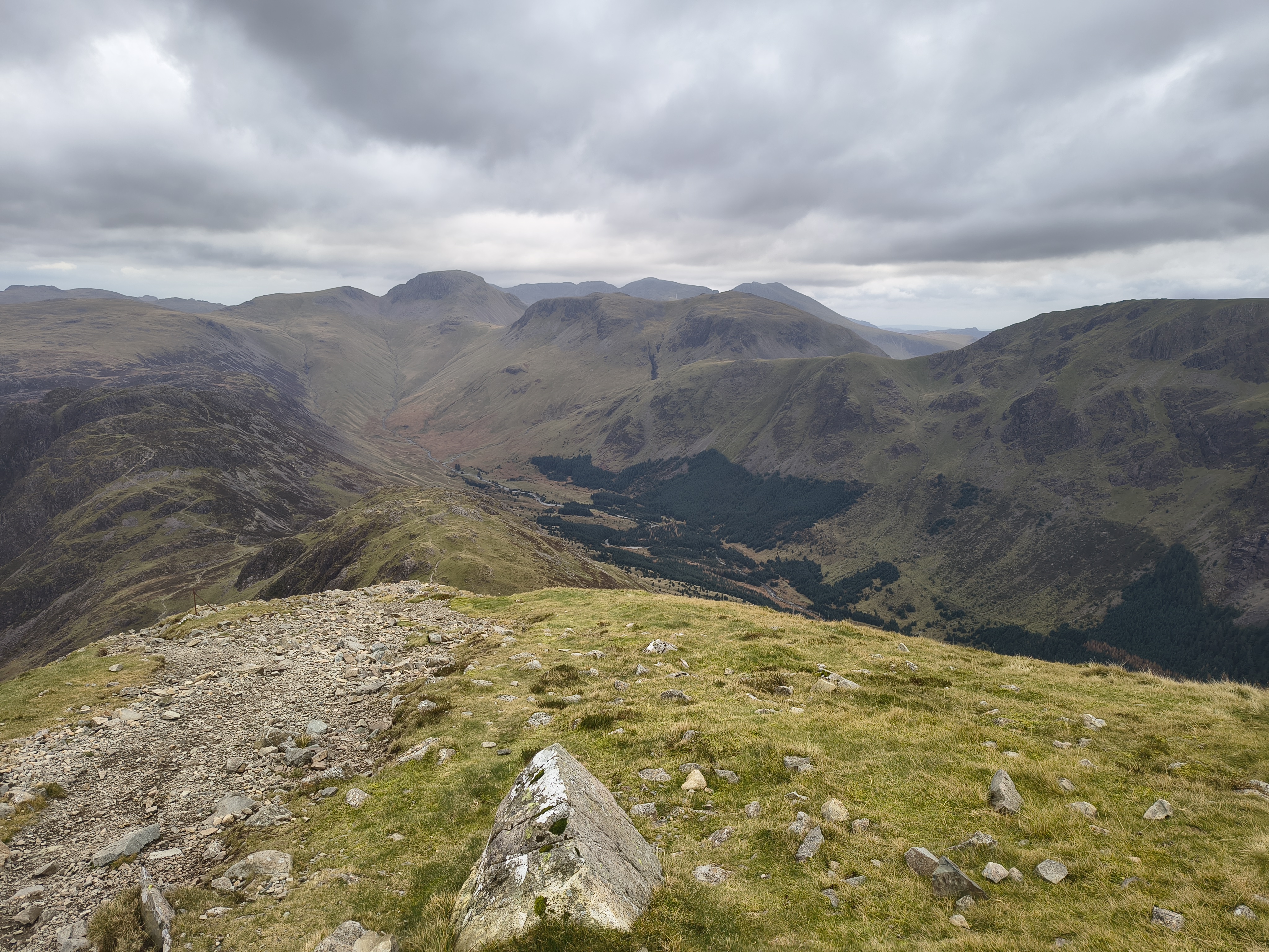
We can see the Langdale Pikes and Green & Great Gable

High Stile Ridge - Image 20, Nov 06, 2026

We roam around High Stile for a while

High Stile Ridge - Image 21, Nov 06, 2026

and then continue along the ridge

High Stile Ridge - Image 22, Nov 06, 2026

to High Crag

High Stile Ridge - Image 23, Nov 06, 2026

As we drop down towards Seat, the Gables appear to be straight ahead

High Stile Ridge - Image 24, Nov 06, 2026

Rex has to be on the lead here

High Stile Ridge - Image 25, Nov 06, 2026

It's a moderately tricky descent - this is looking back before we get to Seat

High Stile Ridge - Image 1, Nov 06, 2026

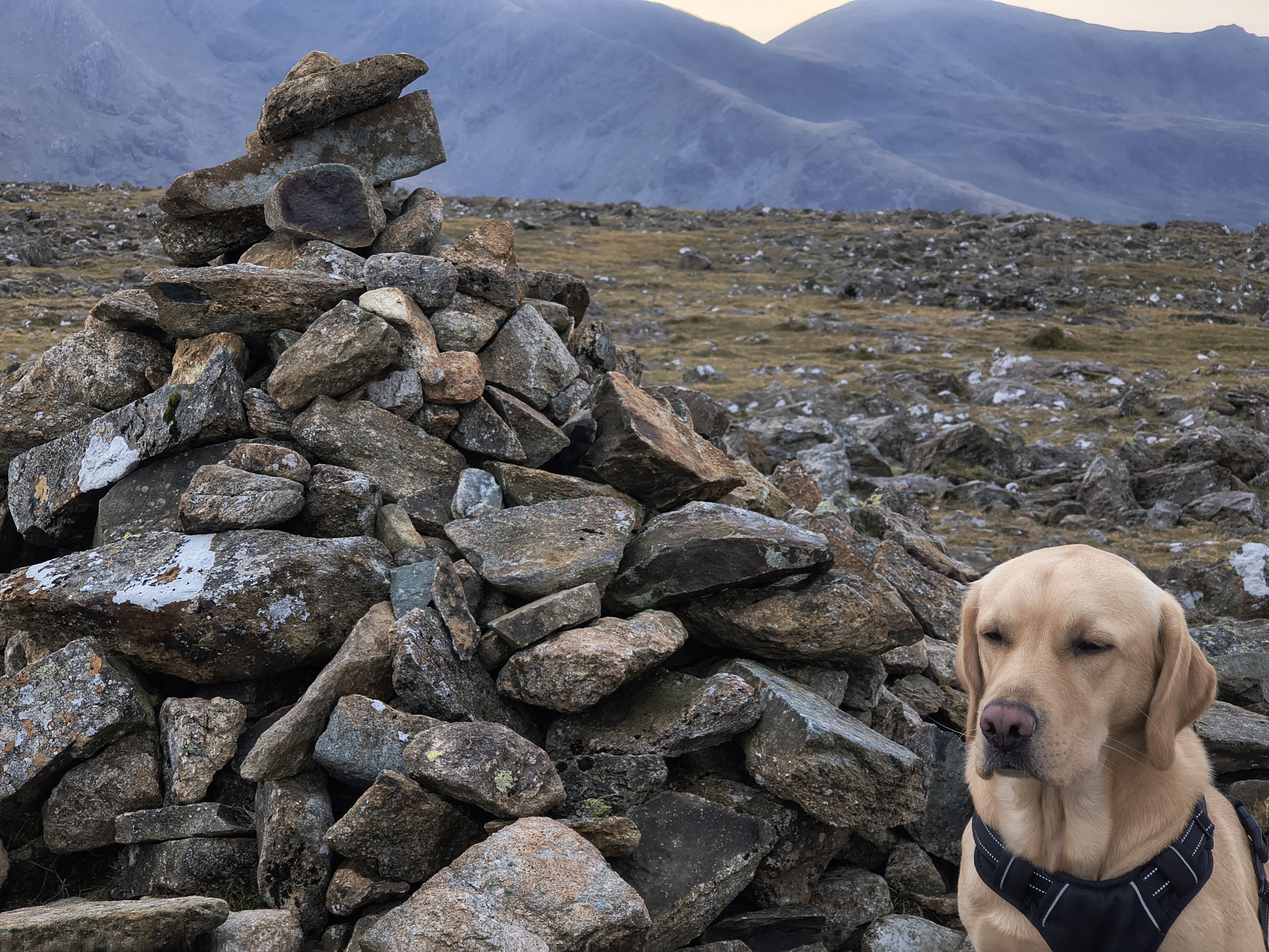
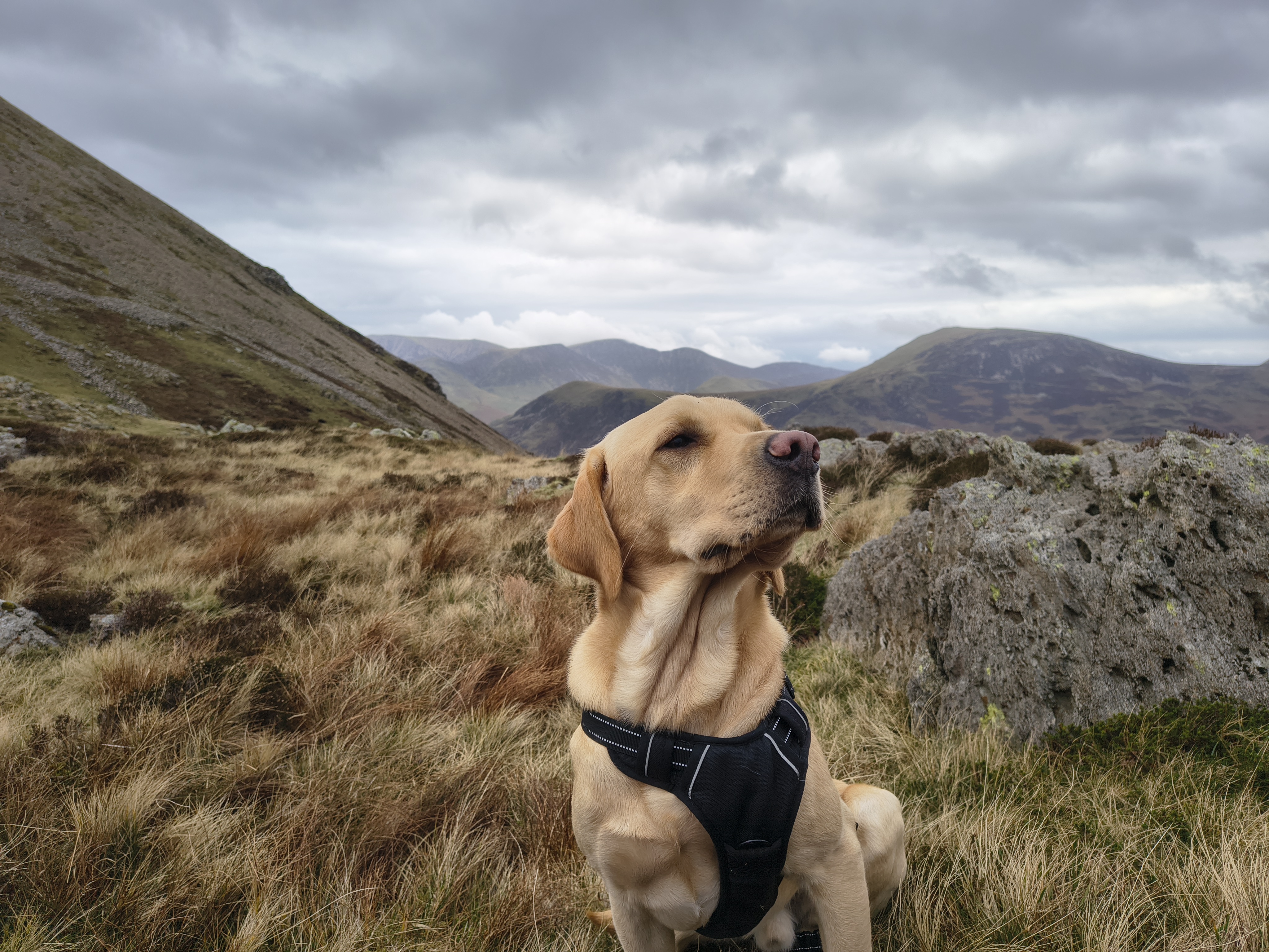
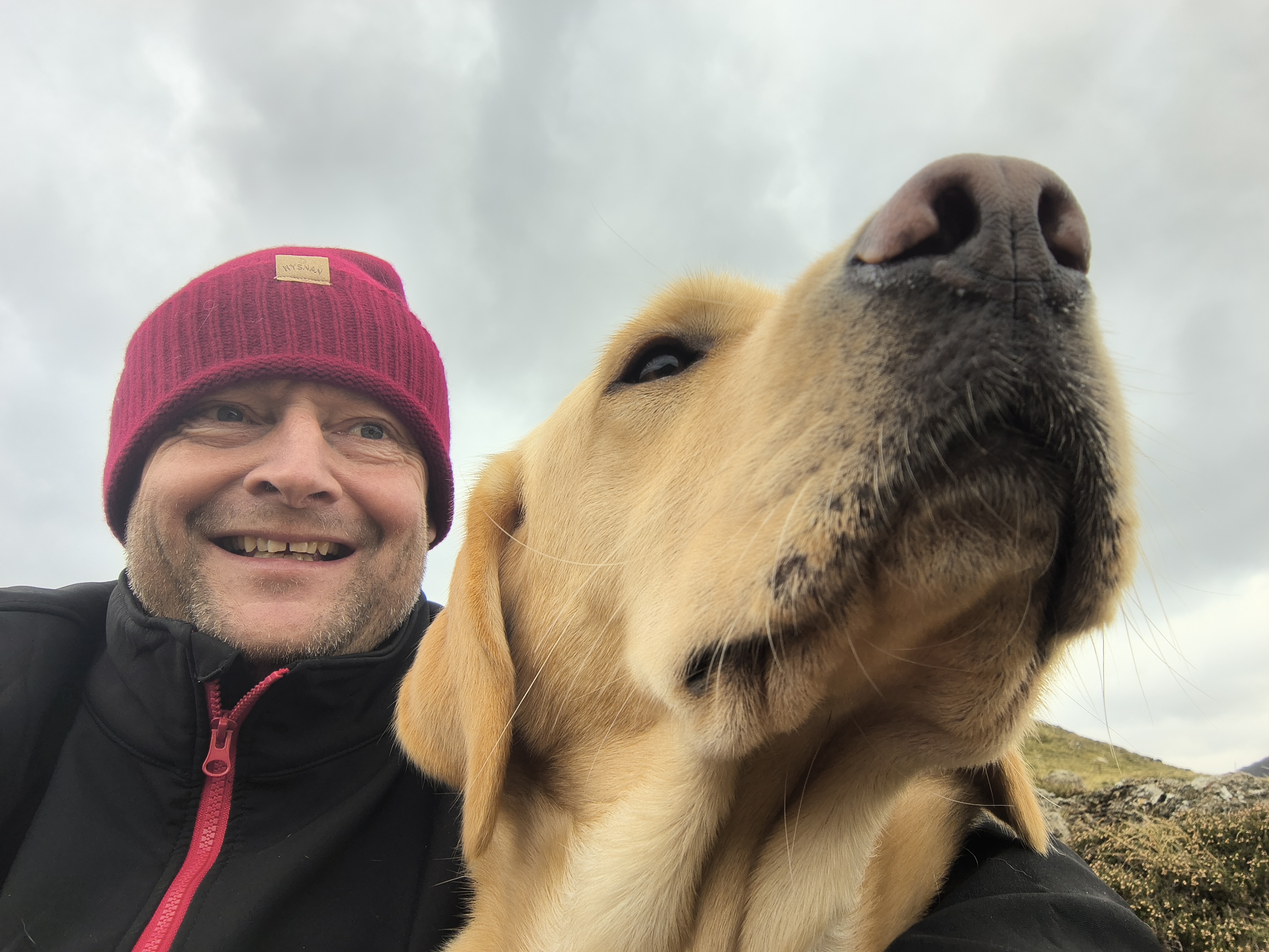
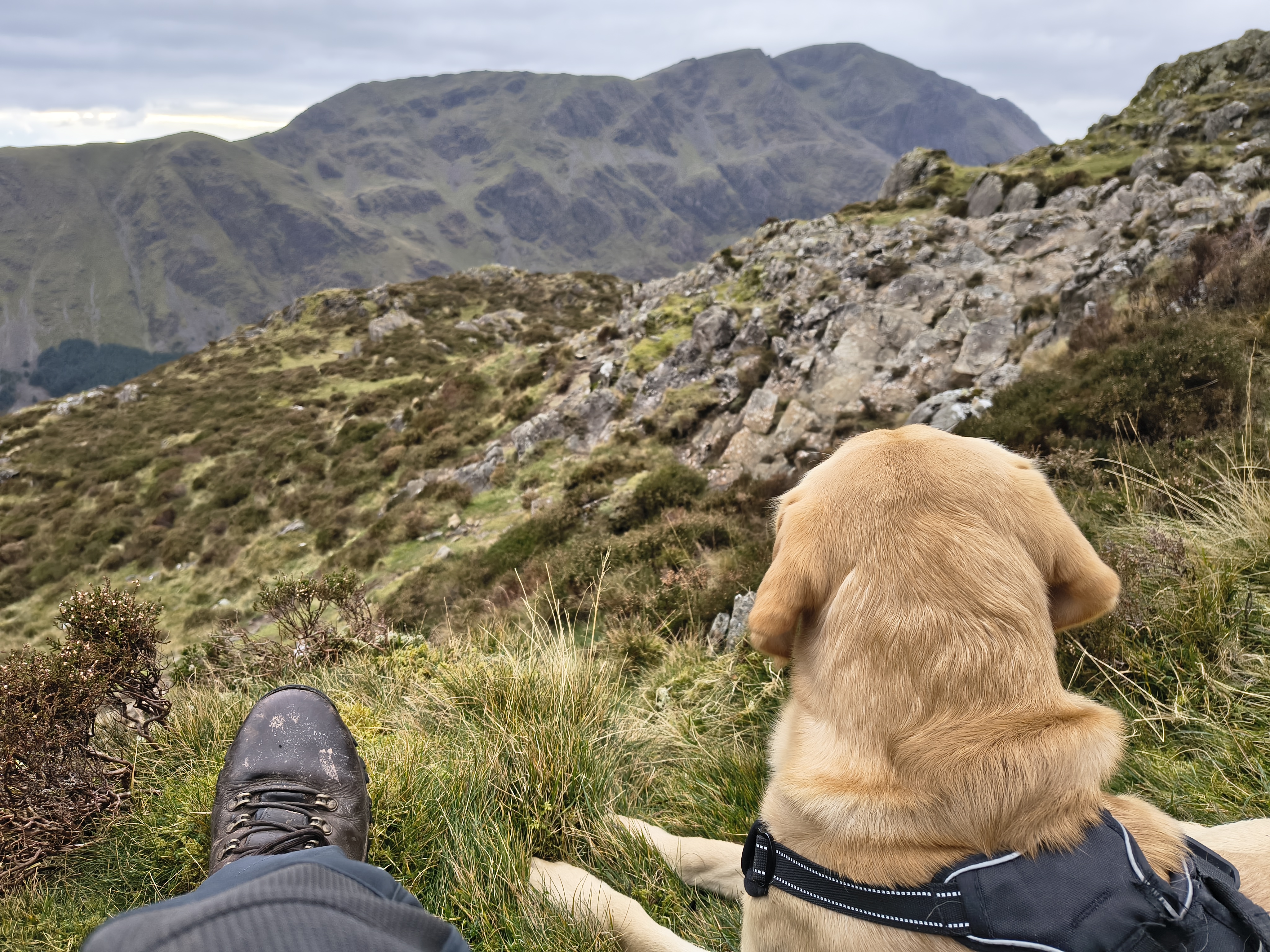
Just before the summit of Seat we have a proper lunch stop out of the wind. Rex seems quite pleased with himself

High Stile Ridge - Image 26, Nov 06, 2026

It's still chilly, after 20 mins we move on

High Stile Ridge - Image 27, Nov 06, 2026

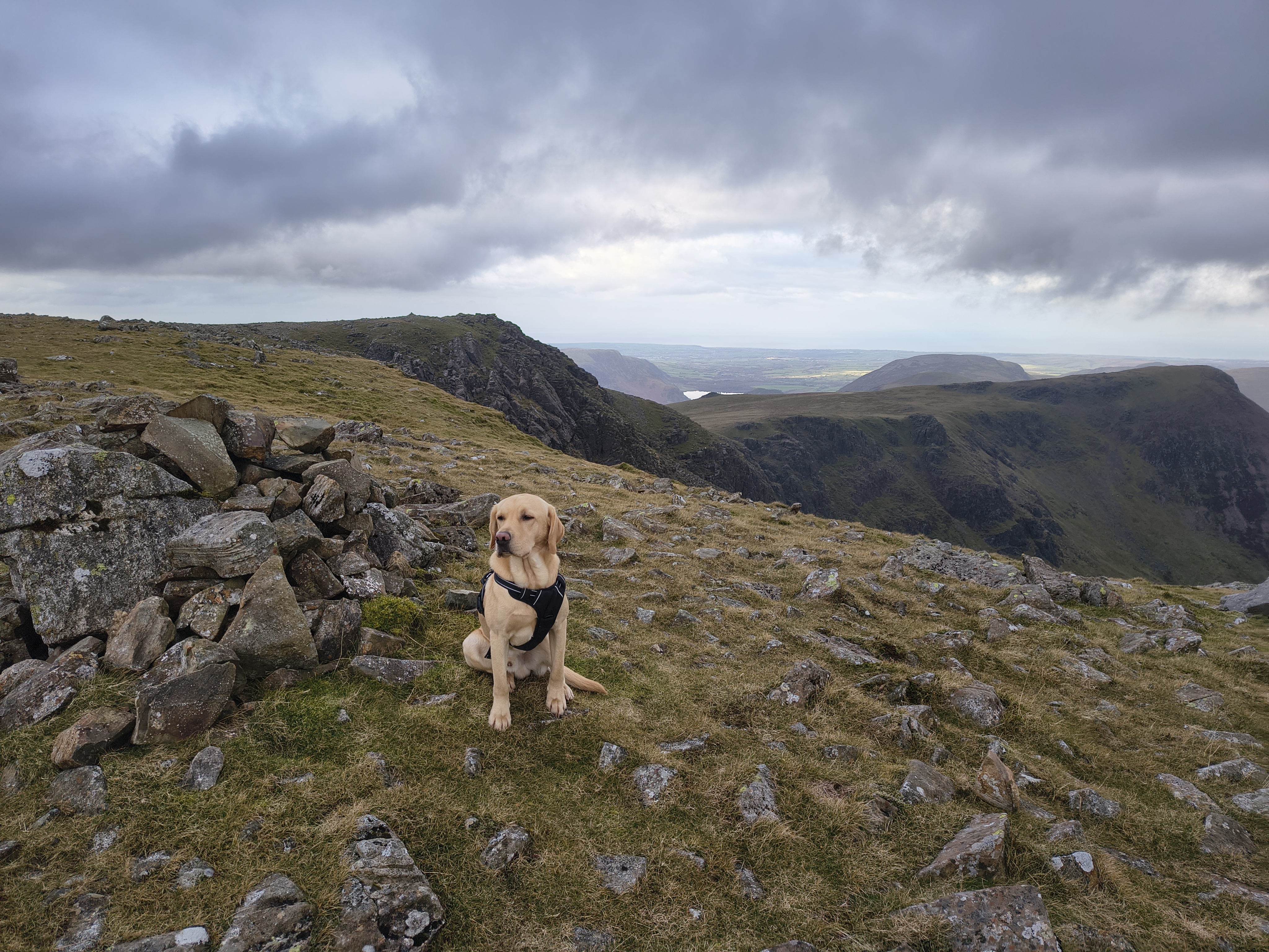
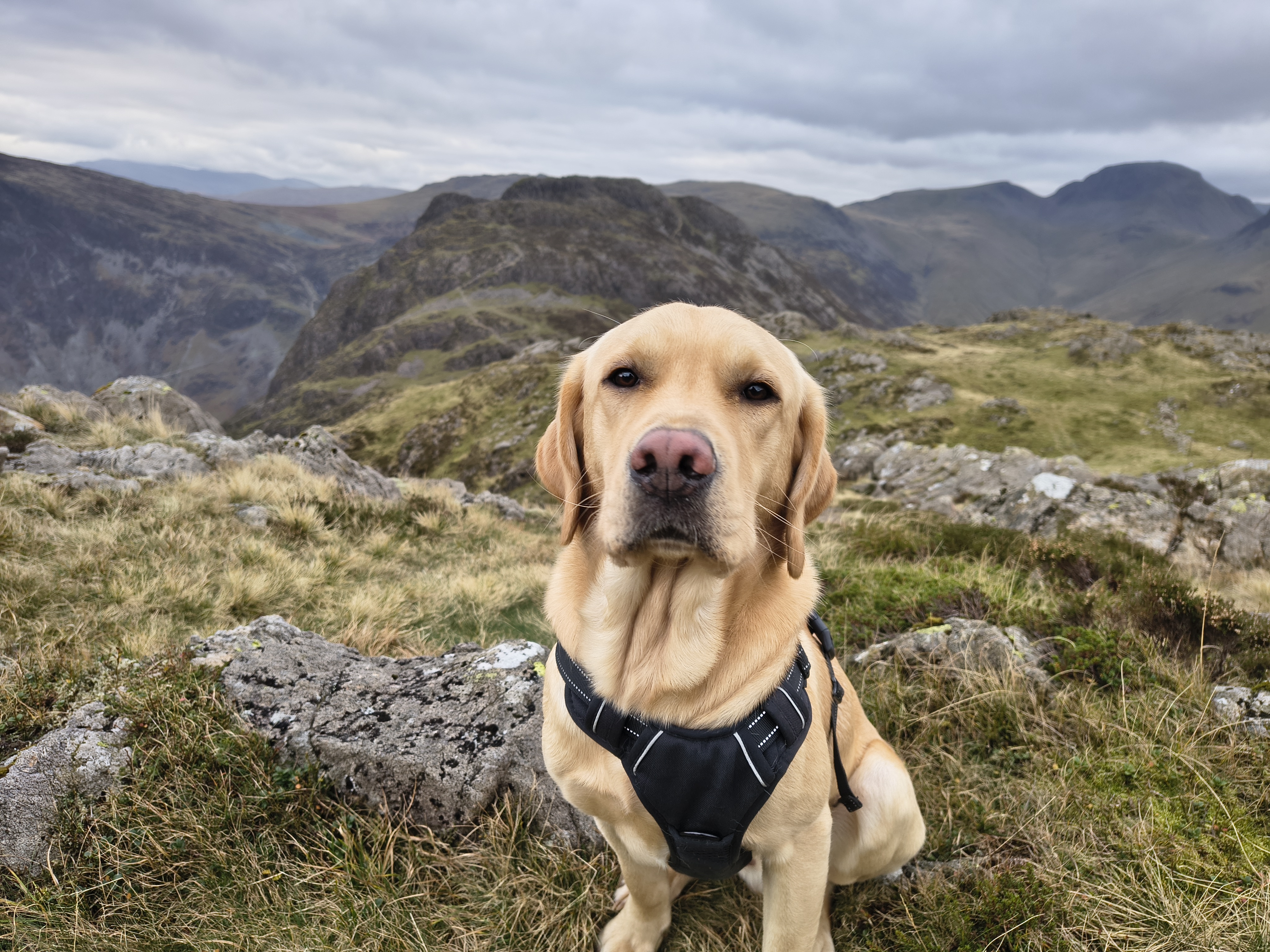
Rex at Seat with Hay Stacks beyond

High Stile Ridge - Image 28, Nov 06, 2026

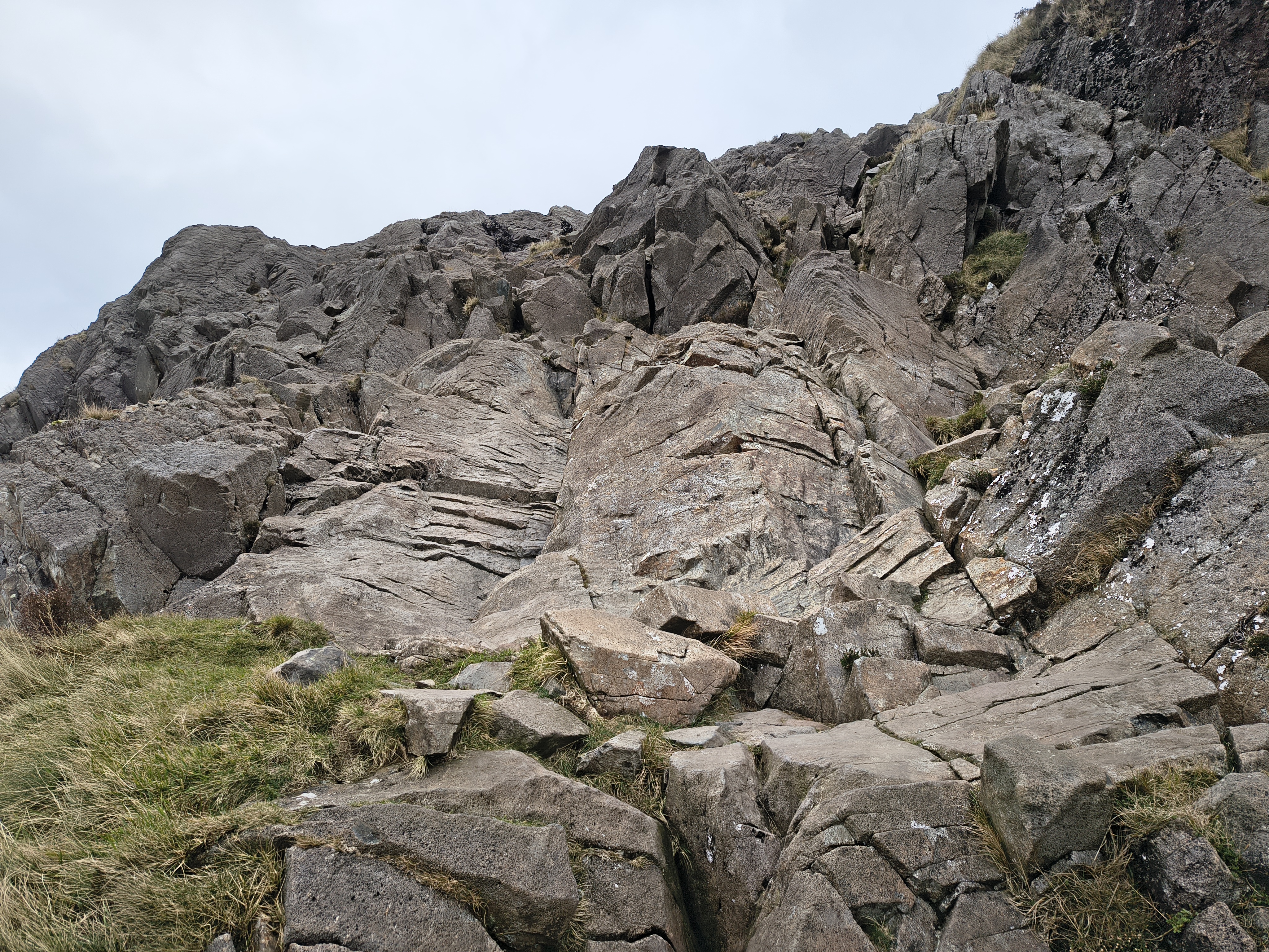
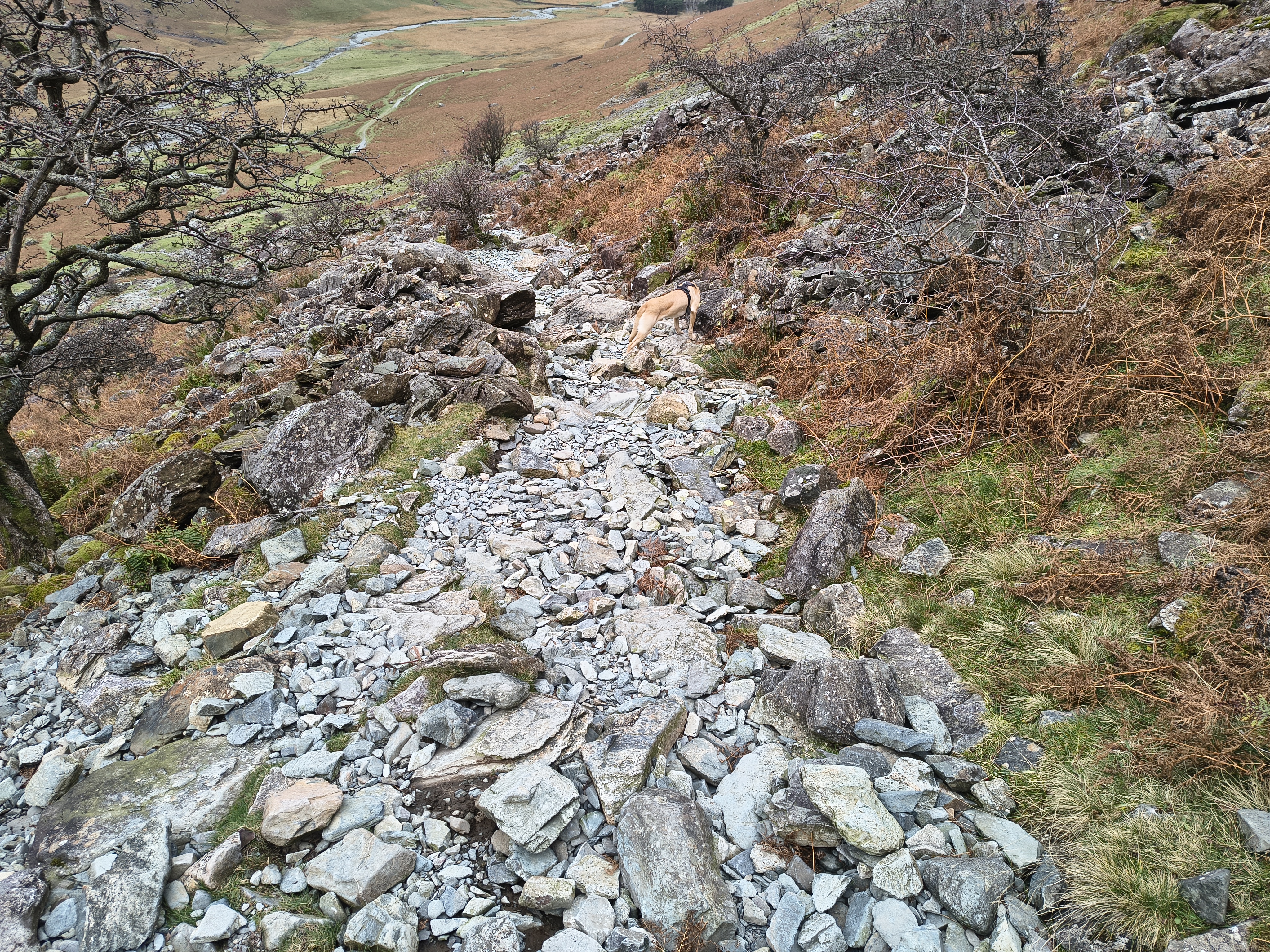
After dropping down to Scarth Gap we attack Hay Stacks via the usual route from the West. I think that this path is a bit tricky, in both directions

High Stile Ridge - Image 29, Nov 06, 2026

A little more rocky scrambling and

High Stile Ridge - Image 30, Nov 06, 2026

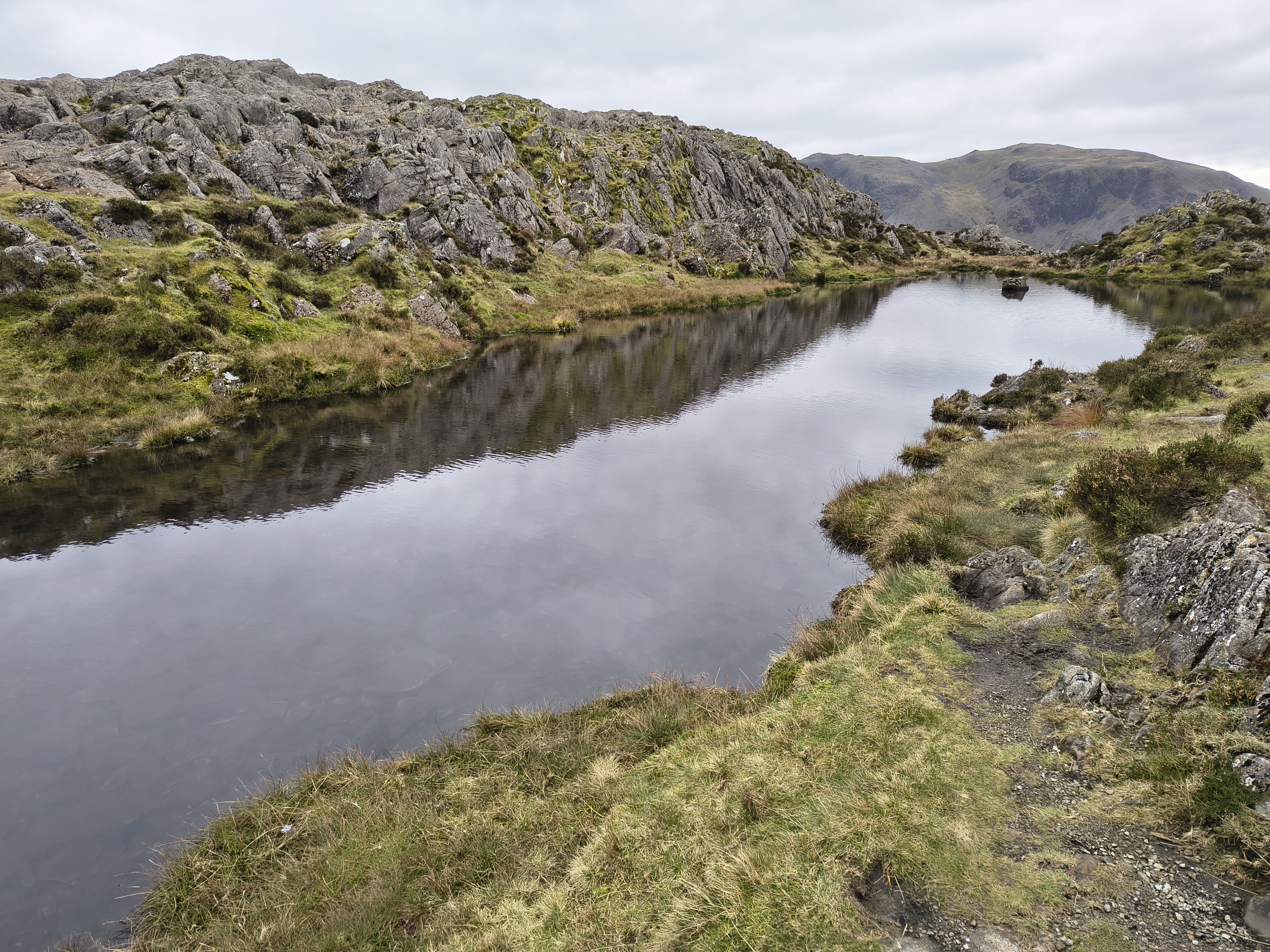
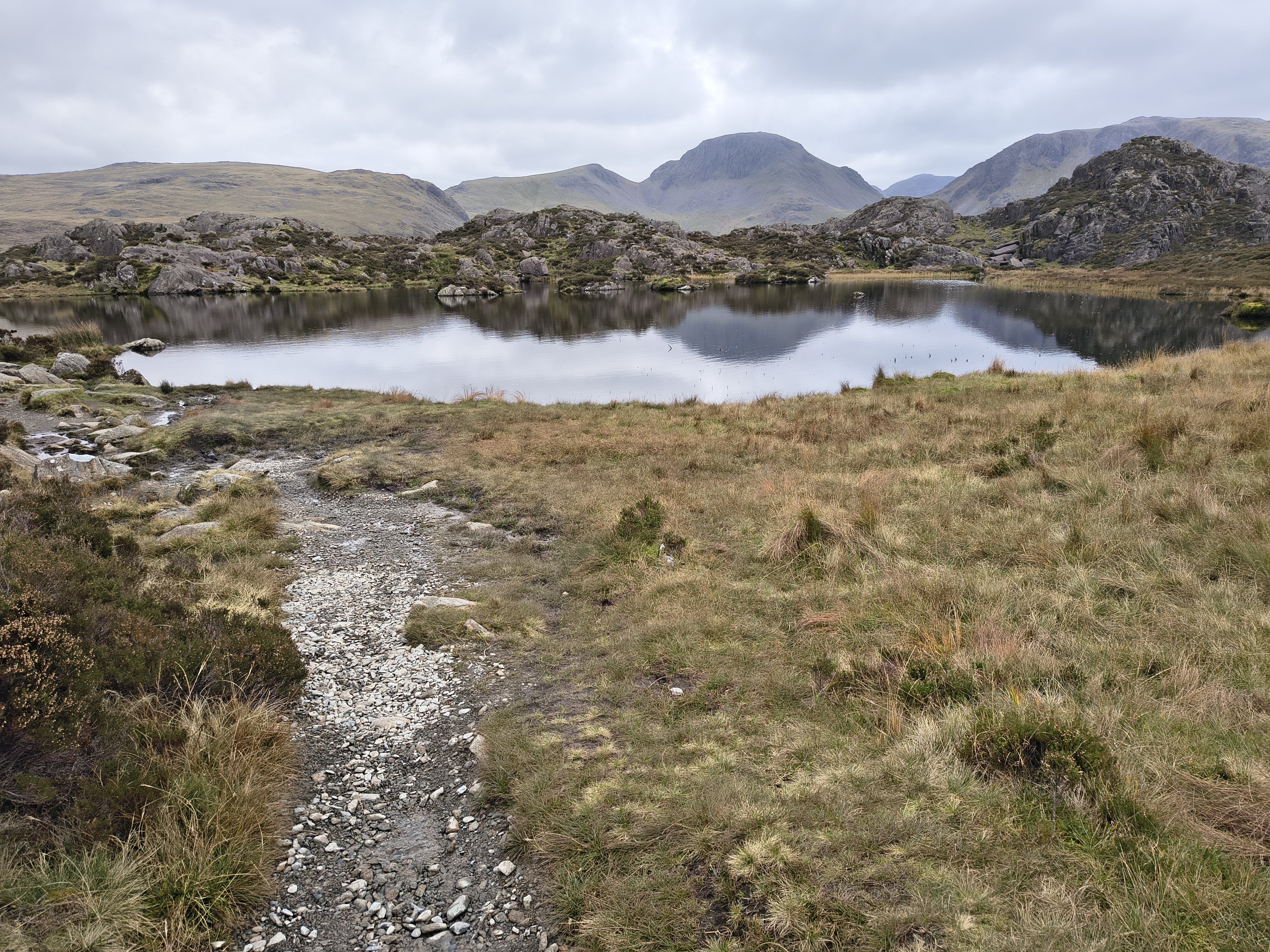
we find ourselves at the unnamed tarn to the W of the summit

High Stile Ridge - Image 31, Nov 06, 2026

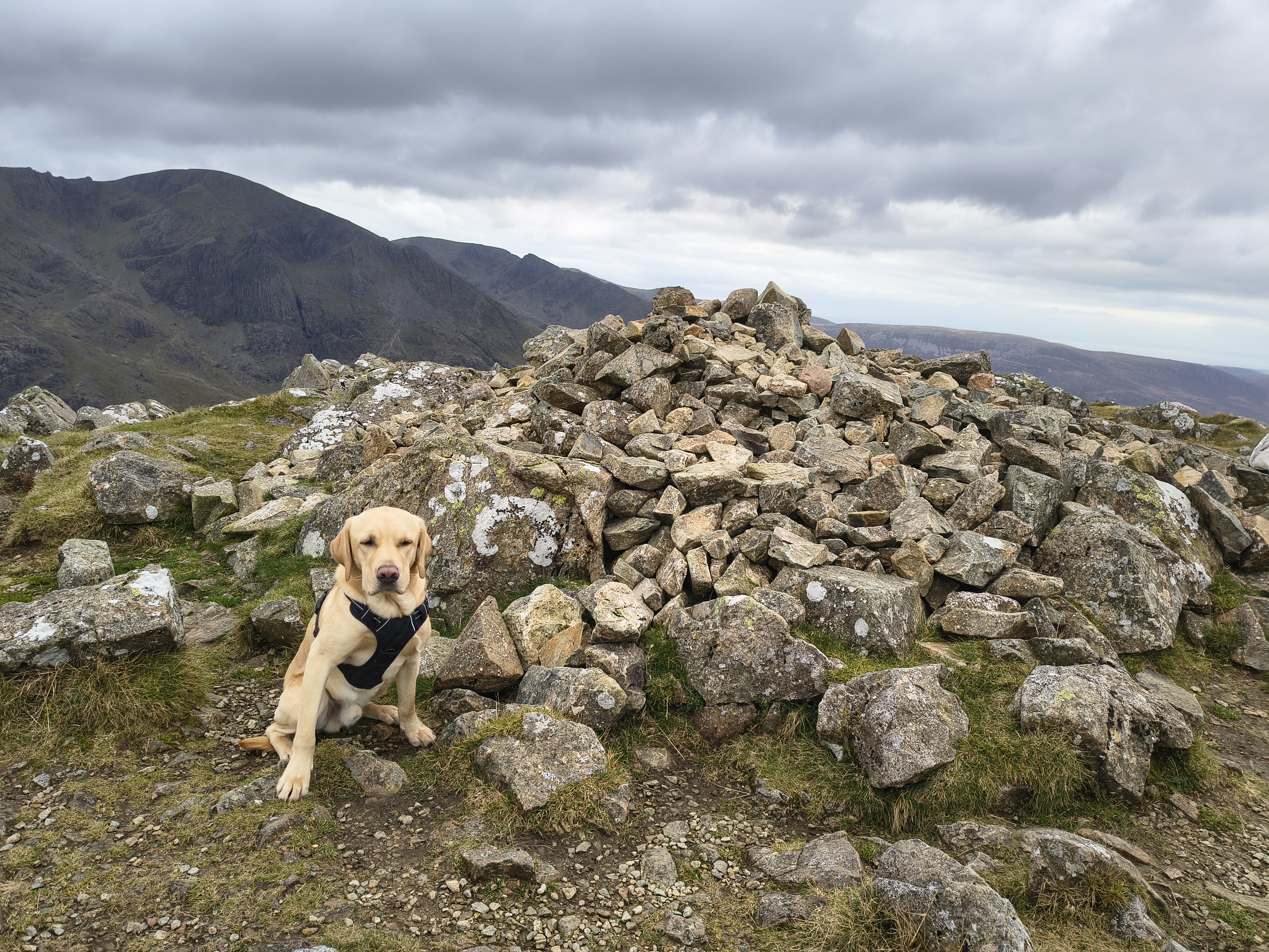
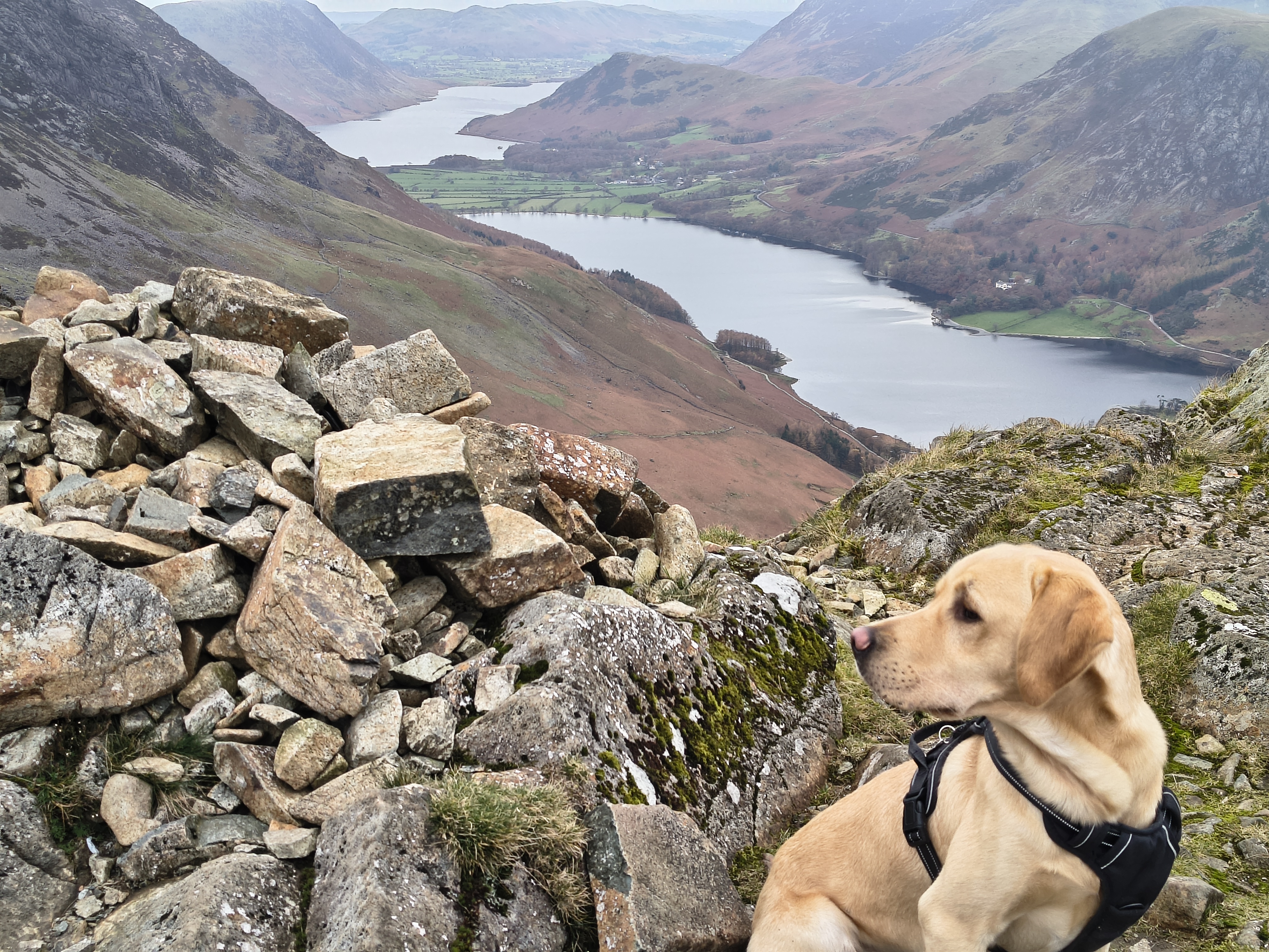
Rex at Hay Stacks. Lots of cloud about

High Stile Ridge - Image 32, Nov 06, 2026

Buttermere & Crummock Water

High Stile Ridge - Image 33, Nov 06, 2026

We take another quick break to admire the scenery

High Stile Ridge - Image 34, Nov 06, 2026

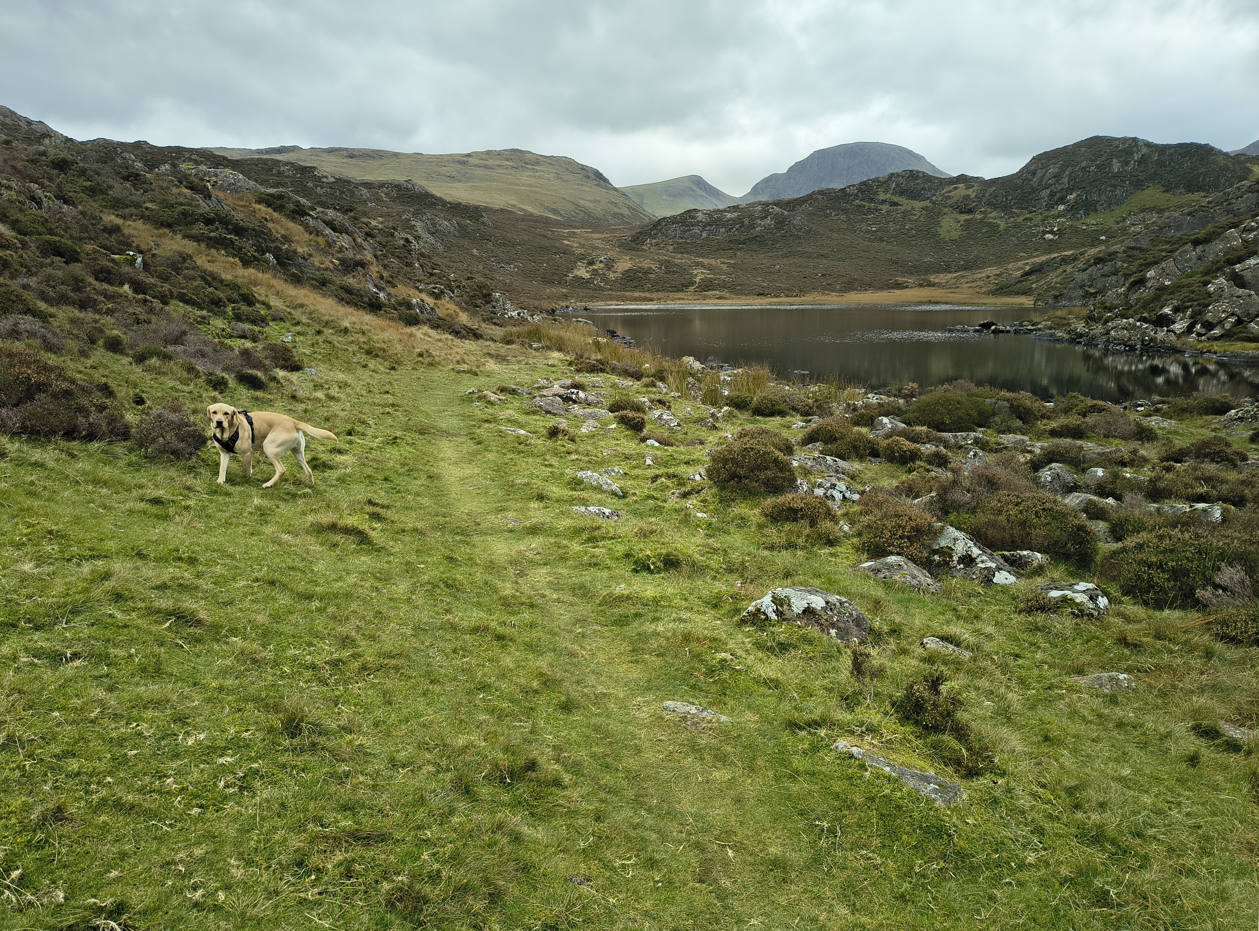
Innominate Tarn, the Gables

High Stile Ridge - Image 35, Nov 06, 2026

We make rapid progress - a quick diversion to Blackbeck Tarn

High Stile Ridge - Image 36, Nov 06, 2026

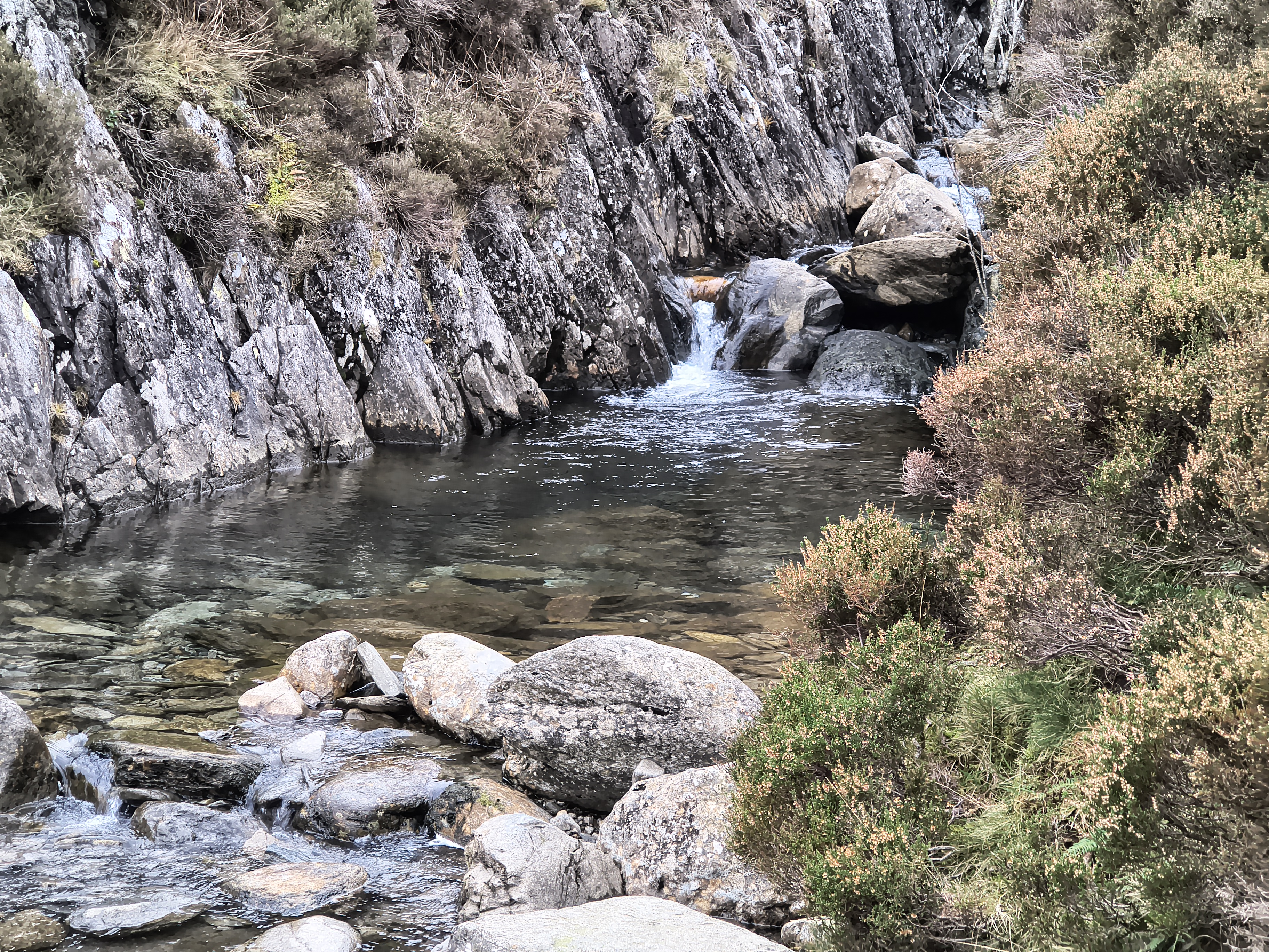
and 20 mins later we are crossing Warnscale Beck

High Stile Ridge - Image 37, Nov 06, 2026

Once across, the path to Warnscale Bottom

High Stile Ridge - Image 38, Nov 06, 2026

is long and stony, taking us about 45 mins

High Stile Ridge - Image 39, Nov 06, 2026

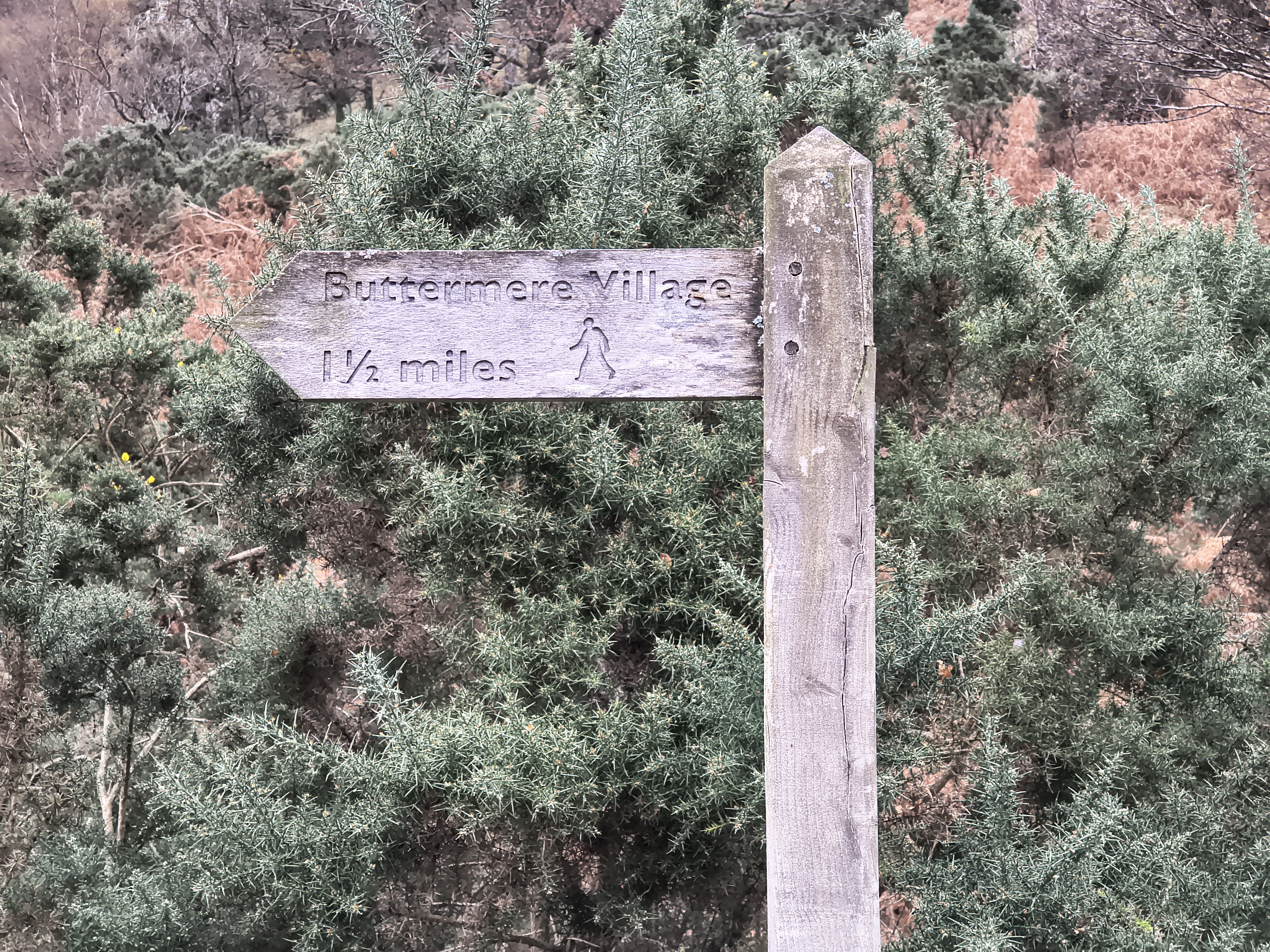
just past Gatesgarth after a short section on the road

High Stile Ridge - Image 40, Nov 06, 2026

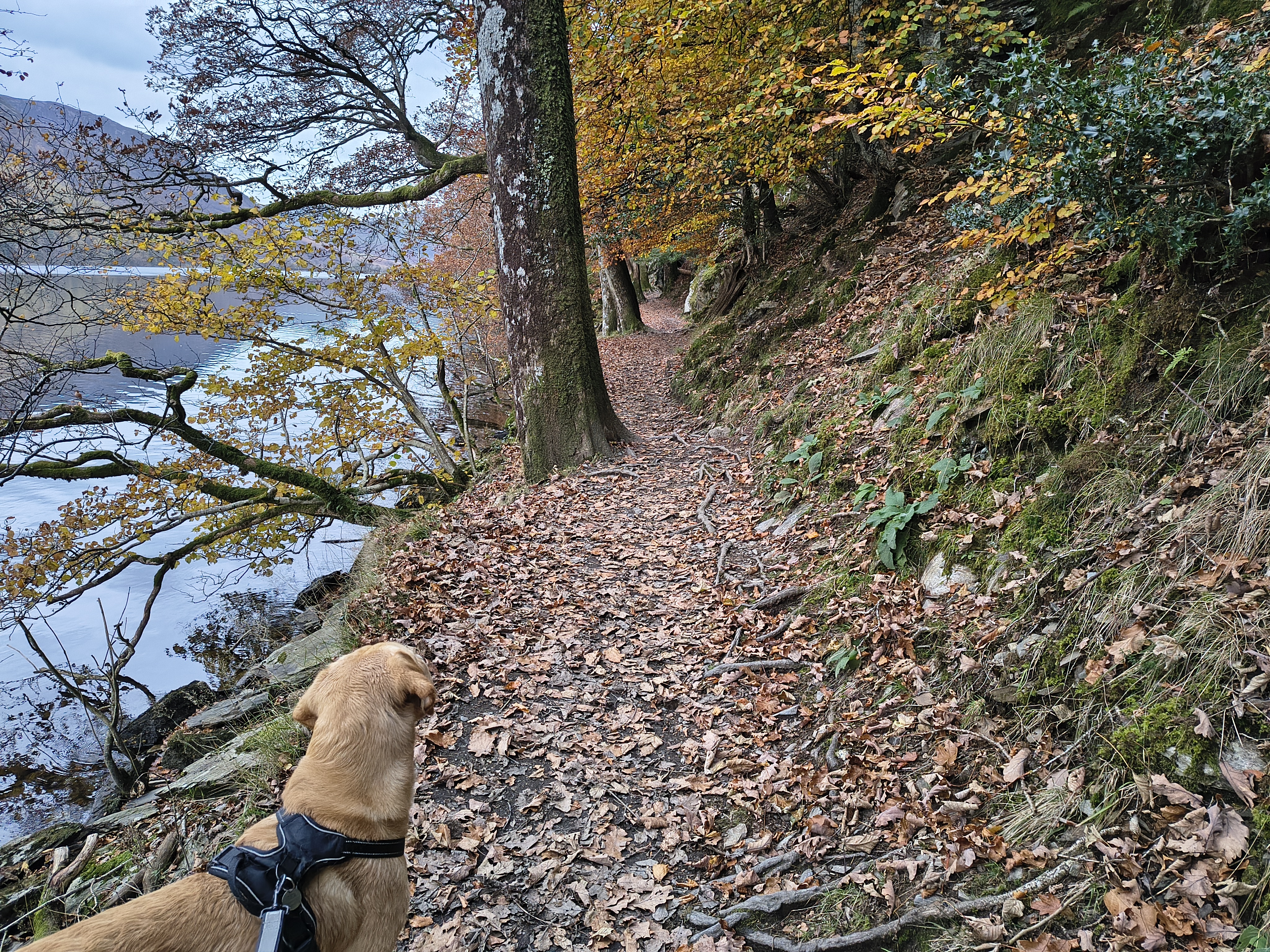
and we are on the N shore of Buttermere. One of us isn't remotely tired!

High Stile Ridge - Image 41, Nov 06, 2026

A similar picture to this one taken in June

High Stile Ridge - Image 42, Nov 06, 2026

We wander along the shoreline towards the tunnel and soon arrive back at Buttermere


Start: Buttermere

No detailed information for this start point

Route

Buttermere, Bleaberry Tarn, Red Pike, High Stile, High Crag, Seat, Hay Stacks, Warnscale Bottom
Distance 16.24 km, Time 6.21 h, Total Ascent 1,152 m
Wainwright Pictorial Guide: The Western Fells

Fells

Red Pike (Buttermere) 755 m
High Stile 806 m
High Crag 744 m
-Seat 561 m-
Hay Stacks 597 m

Fells that are not 'Wainwrights' are depicted like this: -Seat-

Titbits

Innominate Tarn - Innominate Tarn on Hay Stacks is a picturesque tarn to the E of Hay Stacks summit. It is smaller than the neighbouring Blackbeck Tarn. Innominate Tarn has importance as the final resting place of Alfred Wainwright.
"Every day that passes is a day less. That day will come when there is nothing left but memories. And afterwards, a last long resting place by the side of Innominate Tarn, on Haystacks, where the water gently laps the gravelly shore and the heather blooms and Pillar and Gable keep unfailing watch. A quiet place, a lonely place. I shall go to it, for the last time, and be carried: someone who knew me in life will take me and empty me out of a little box and leave me there alone. And if you, dear reader, should get a bit of grit in your boot as you are crossing Haystacks in the years to come, please treat it with respect. It might be me."

Please do your own research to verify current routes and information on car parking, bus services and so on
Route maps from Ordnance Survey are scaled 1:25000 unless otherwise indicated.
Distance, Hike Time and Total Ascent as supplied by OS. Image shows planned route.

Distance 16.24 km, Time 6.21 h, Total Ascent 1,152 m
Route Map and Details


  You are viewing in HD mode with full size images. To switch to STD mode, click here


Full-size image