HD: screen narrow    STD: screen is wide, you could benefit from HD 

Coledale Partial [NW] GradeGradeGrade
REX    Nov 05, 2026 Braithwaite, Barrow Door, Causey Pike, Scar Crags, Sail, Crag Hill, Coledale Hause, Grisedale Pike, Kinn      
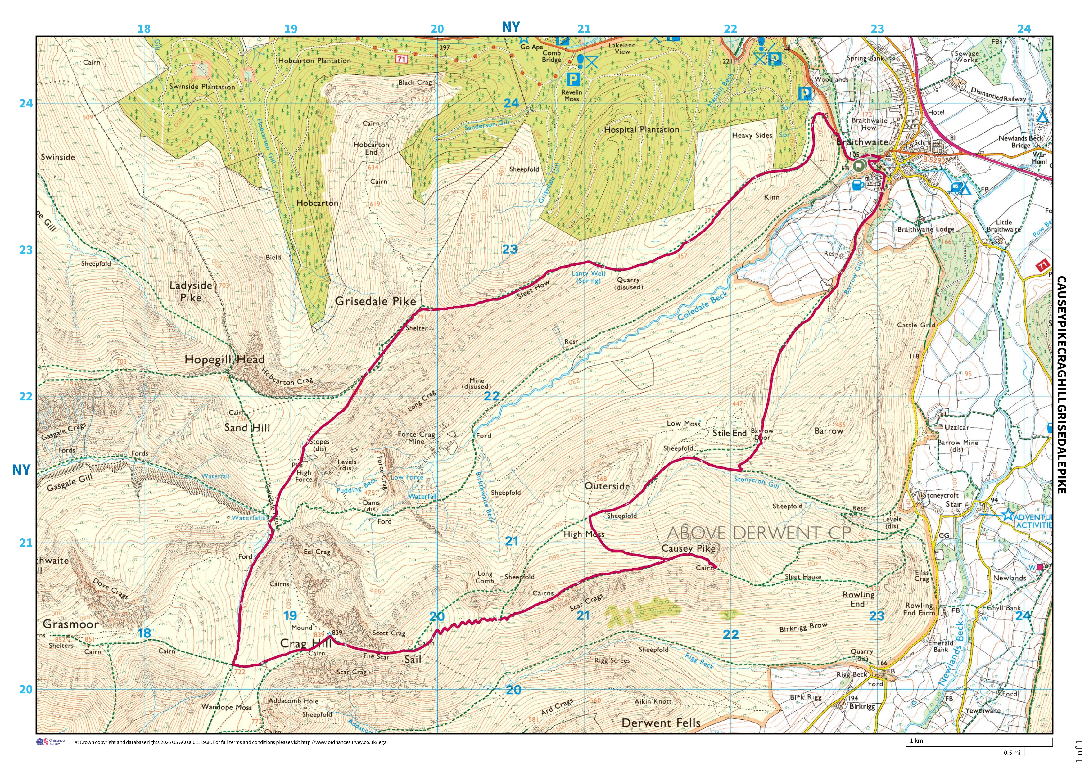
Distance 15.70 km, Time 6.19 h, Total Ascent 1,201 m     Imperial | Metric
Paw REX SAYS: Some of this was rocky, and some nice and grassy. Very strong winds towards the end, but a good walk
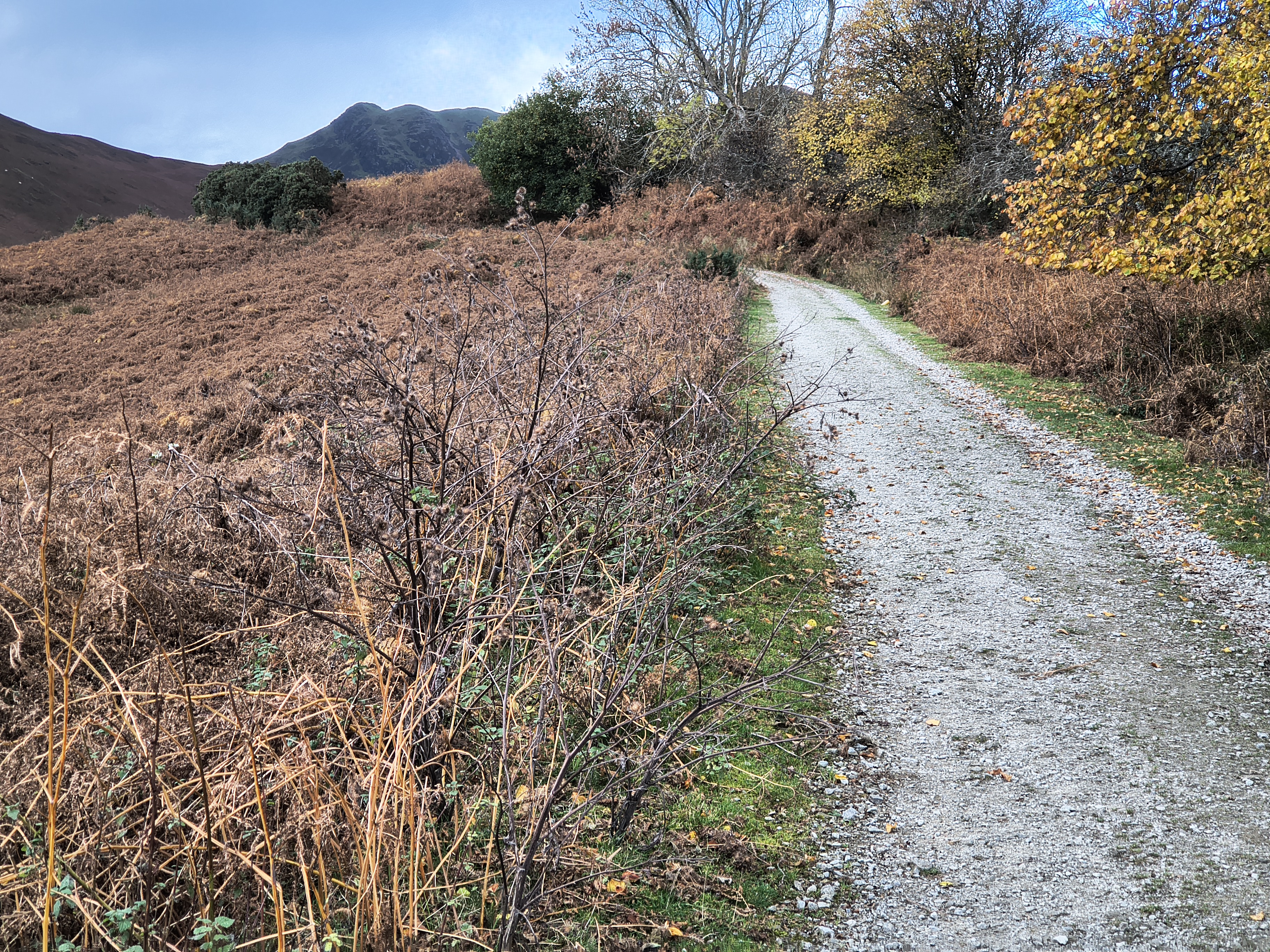
  Sunny spells through cloud, very windy, cold  

Low clouds and mist means we made a much later start than usual today. I thought we might just hike a mini circuit of Causey and Rowling End, but we upgraded to a Coledale Horseshoe, only cutting out Hopegill Head to ensure descent from Grisedale Pike before sunset.

Coledale Partial - Image 2, Nov 05, 2026
Coledale Partial - Image 3, Nov 05, 2026

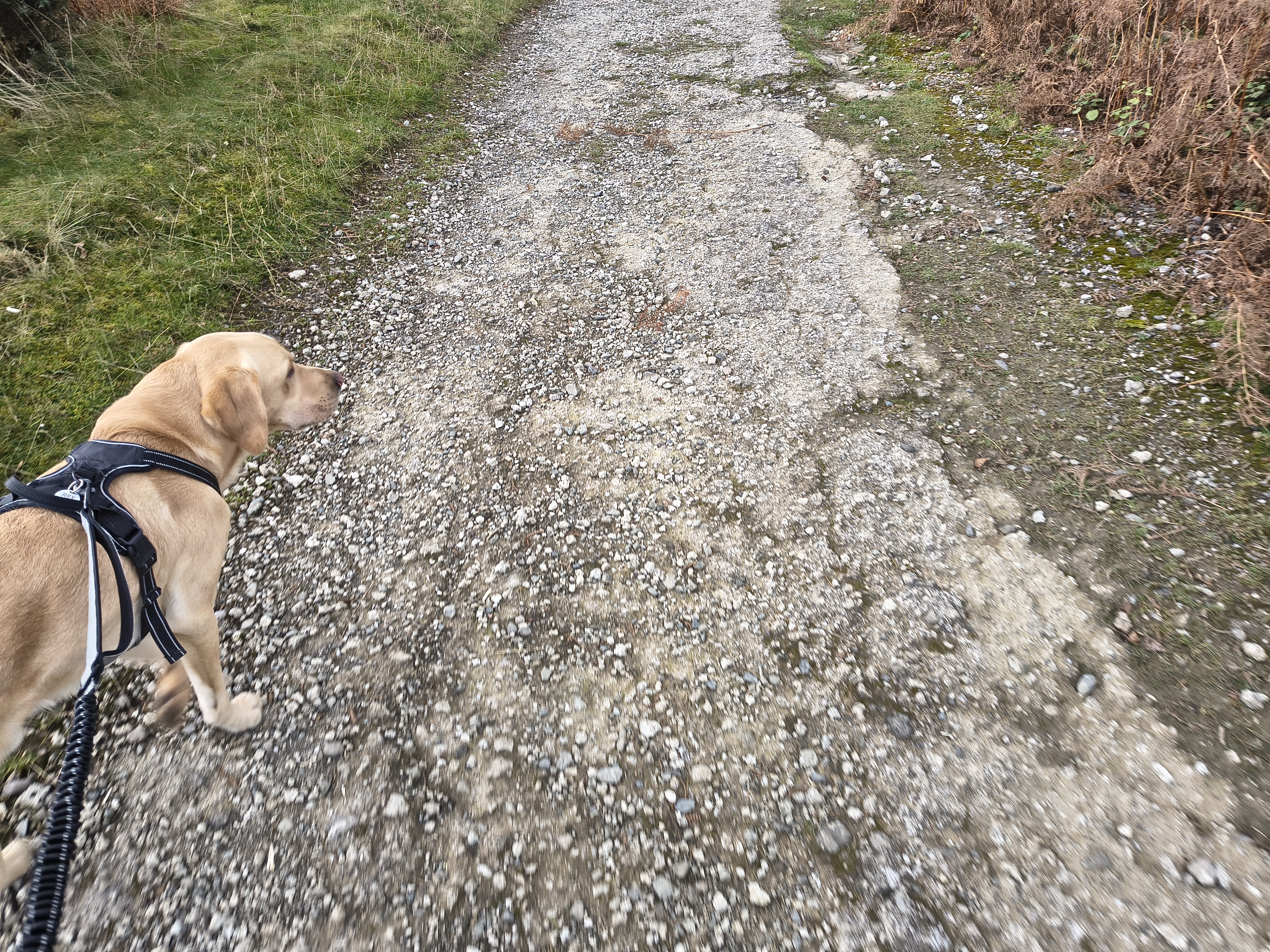
Setting off from Braithwaite with autumnal colours. Causey Pike beckons straight ahead, but the route is circuitious.

Coledale Partial - Image 4, Nov 05, 2026

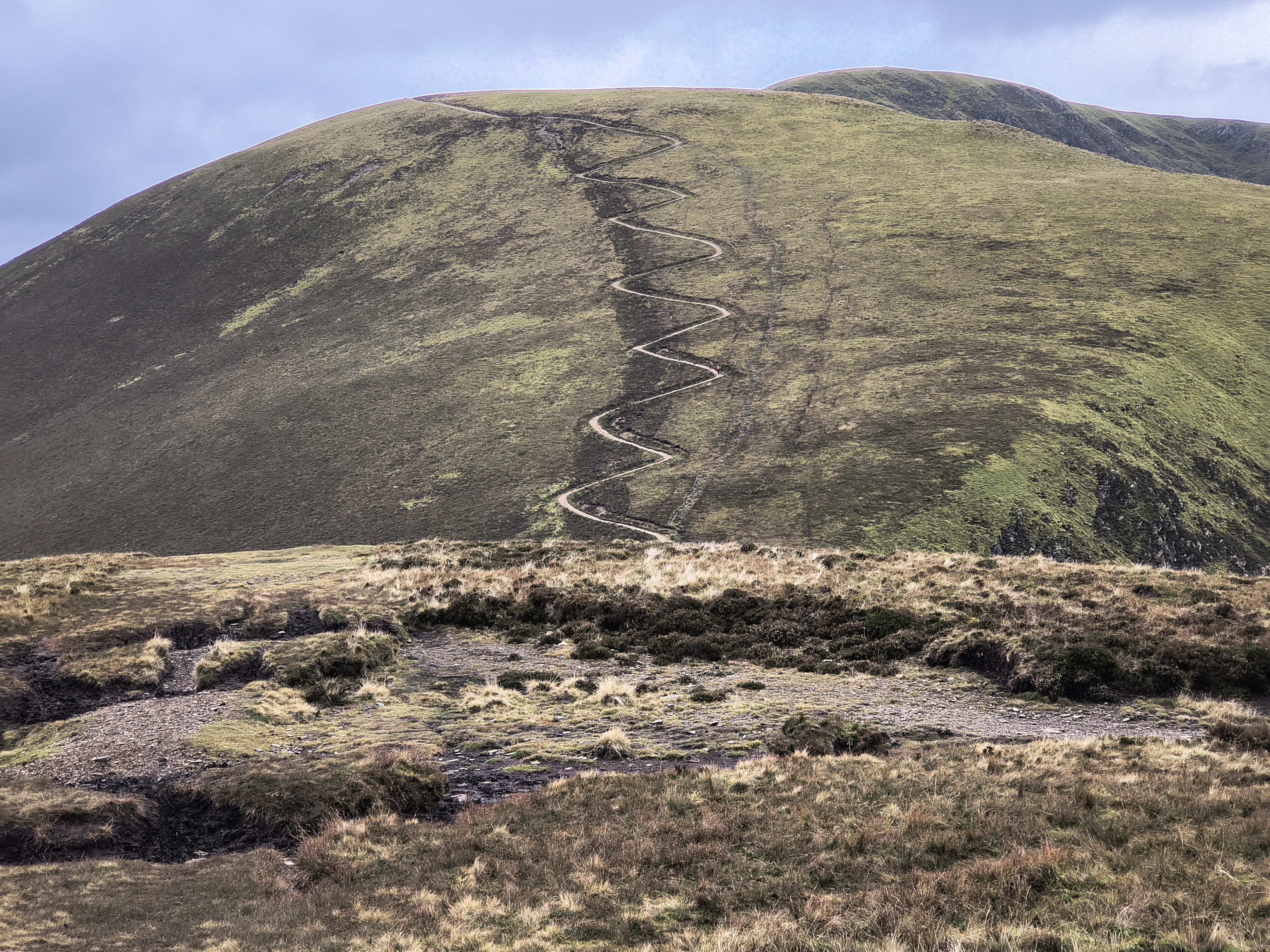
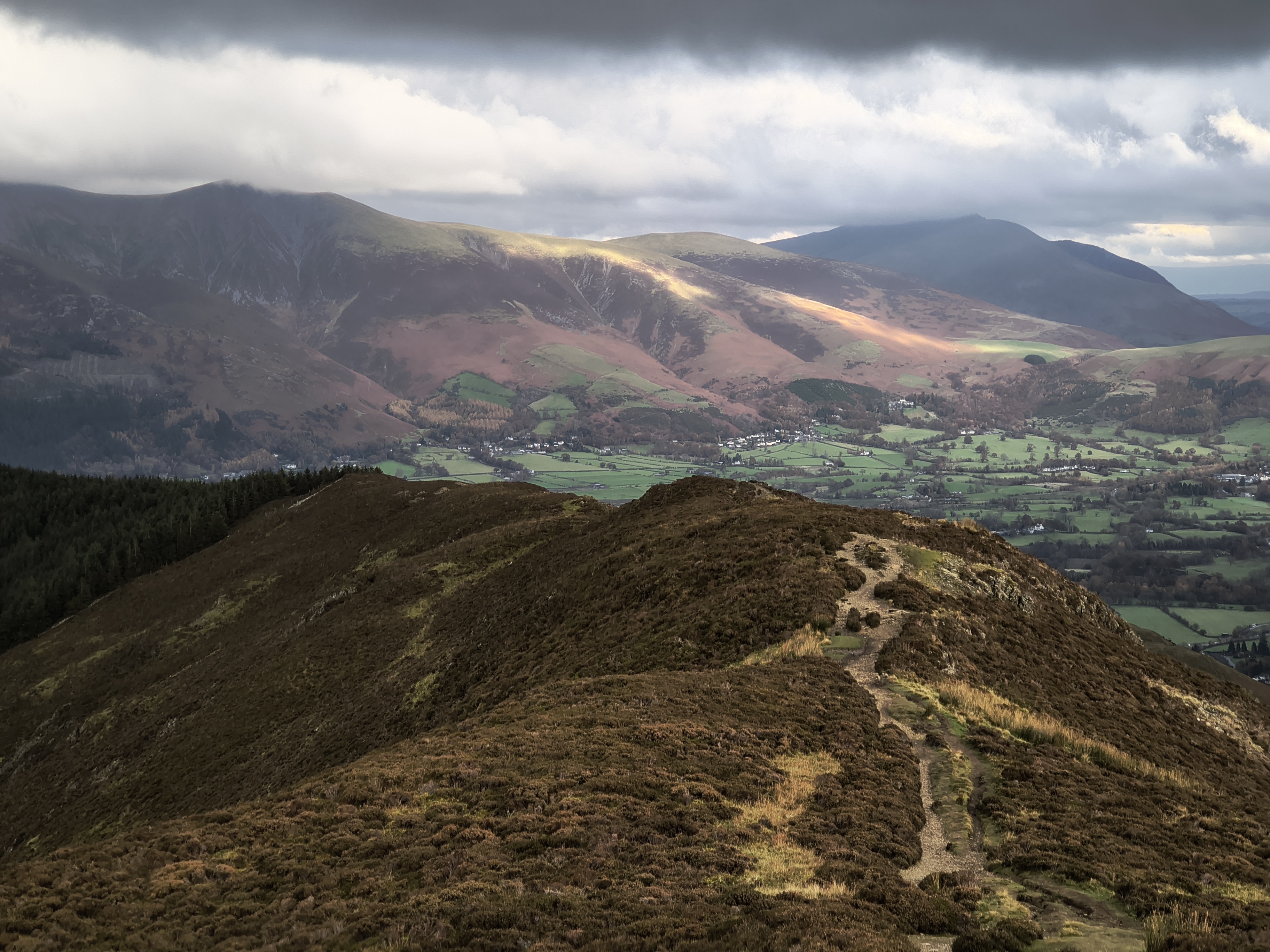
After a rapid ascent to Barrow Door, we cut right towards Outerside. This is the turnoff for Causey Pike

Coledale Partial - Image 5, Nov 05, 2026

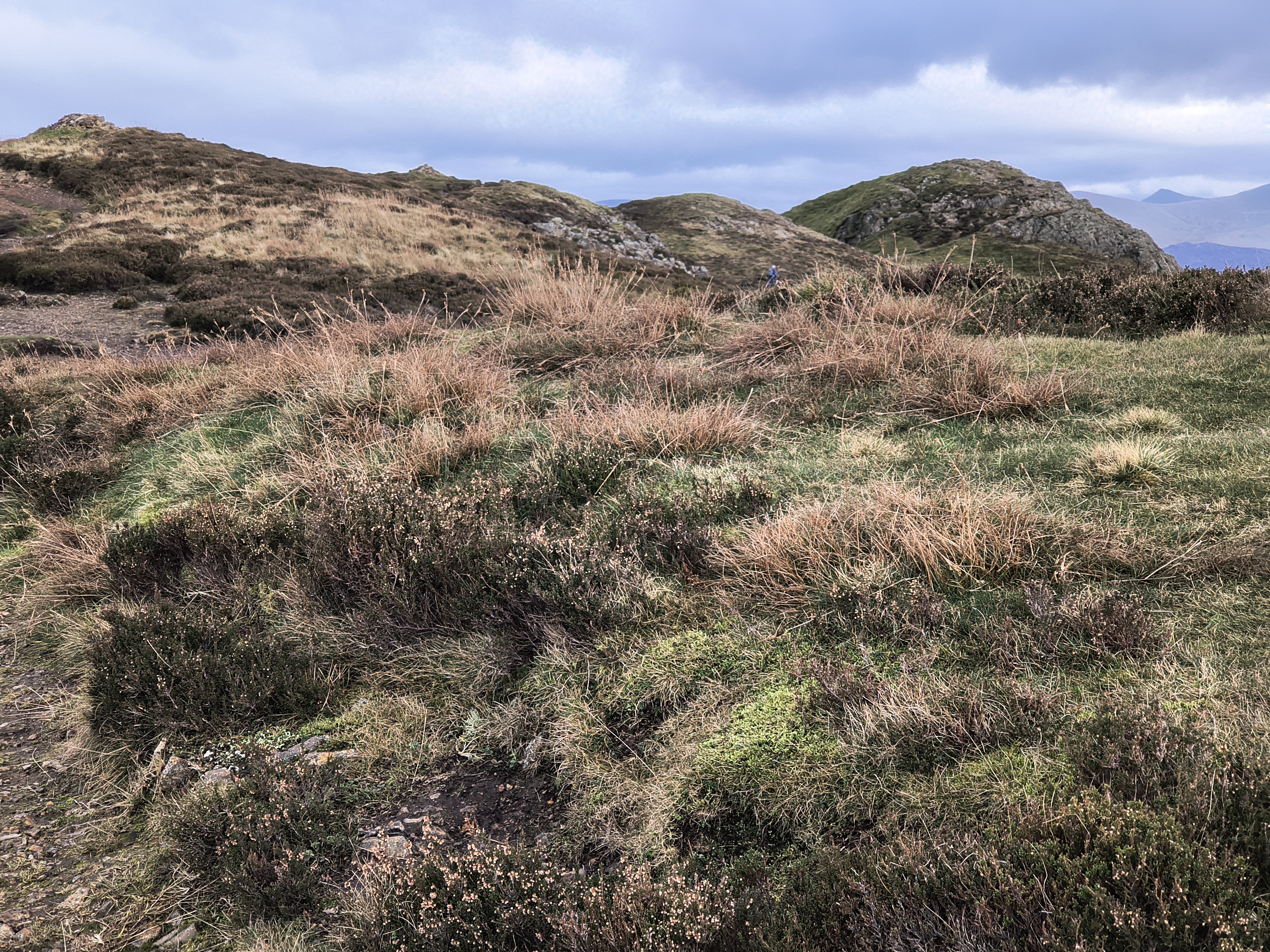
Some of Causey's 'bobbles'

Coledale Partial - Image 1, Nov 05, 2026

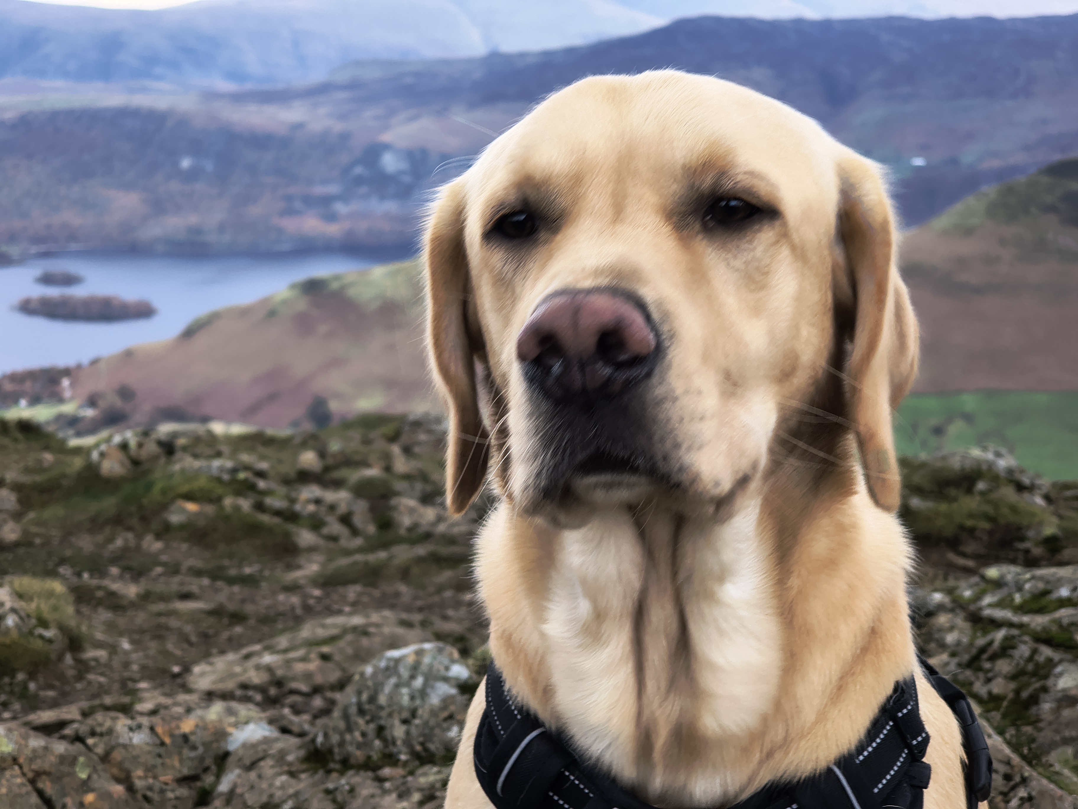
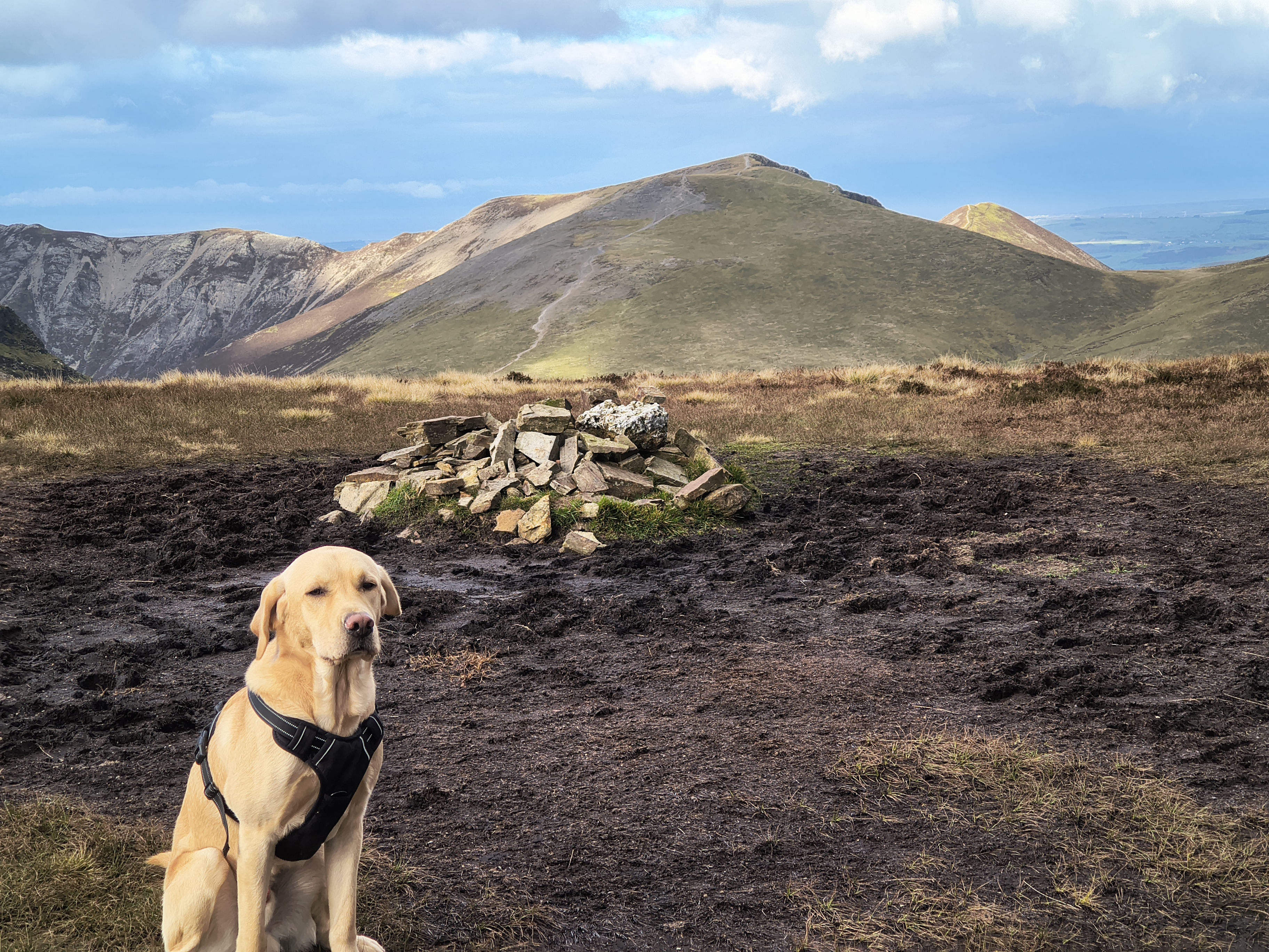
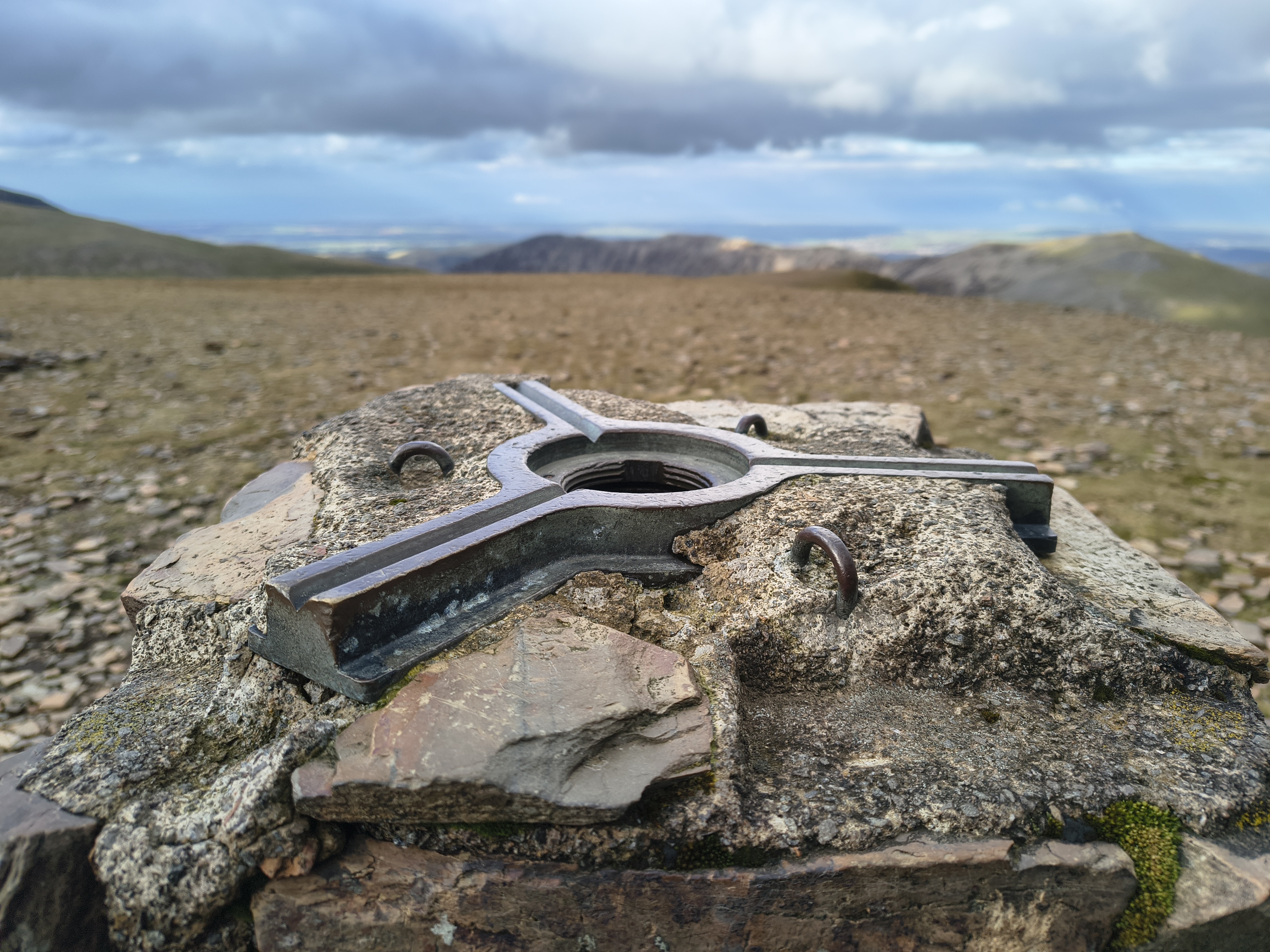
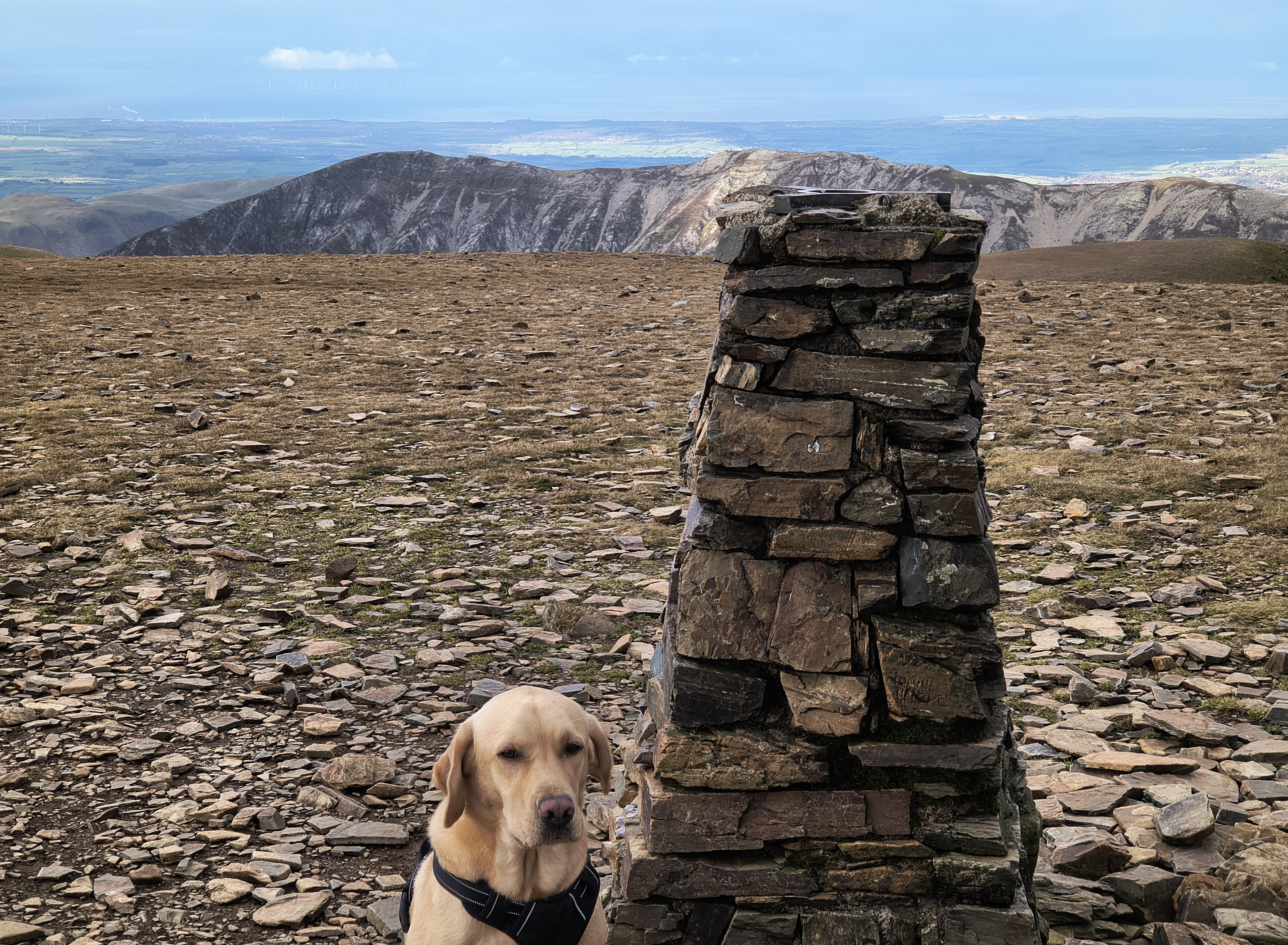
Rex at Causey Pike summit, it's around 11:15am. Derwent Water beyond. Not too windy at the moment, but that will change...

360° image. Click on the image to start / stop rotation.

360° from Causey Pike

Coledale Partial - Image 6, Nov 05, 2026

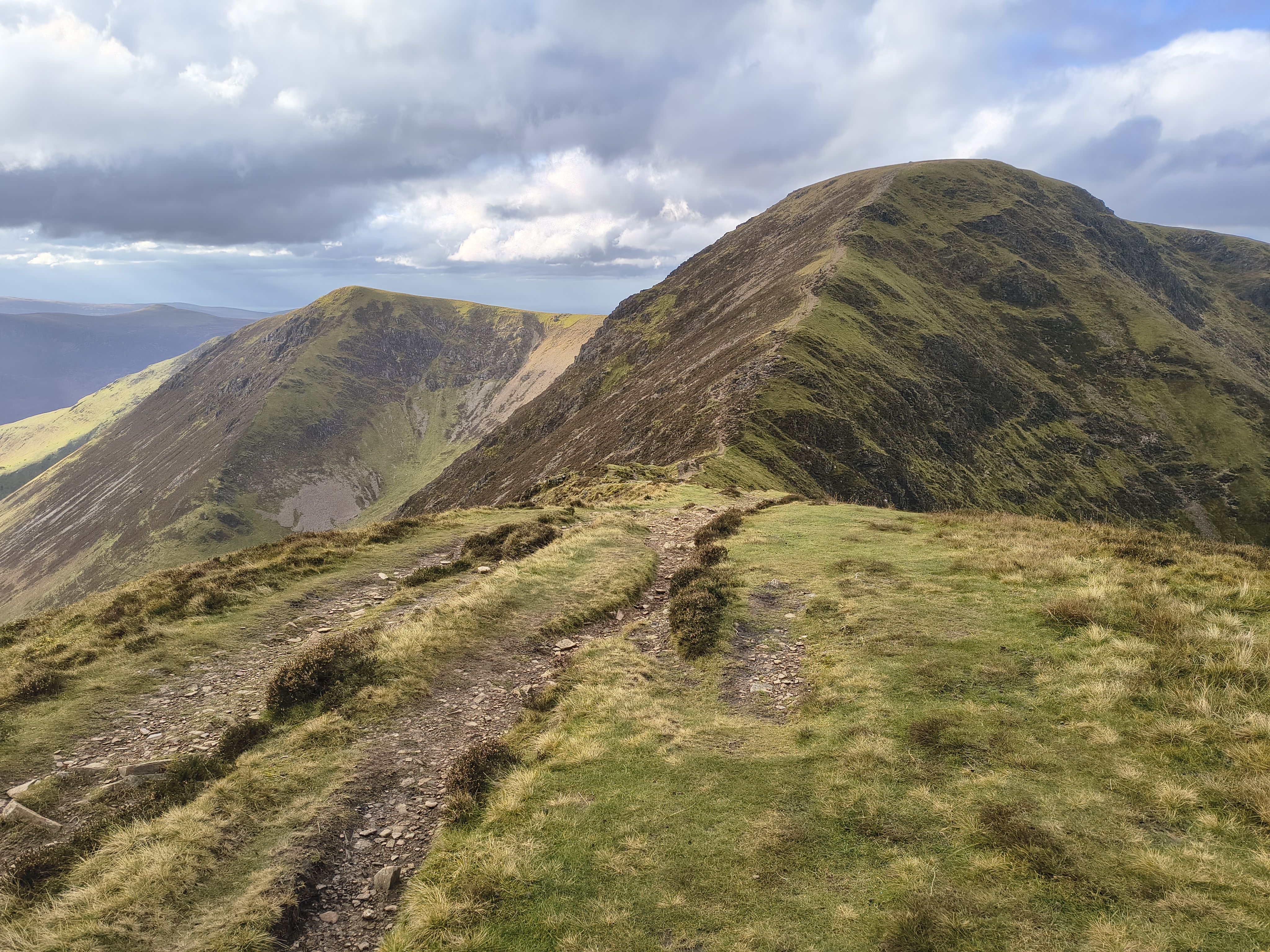
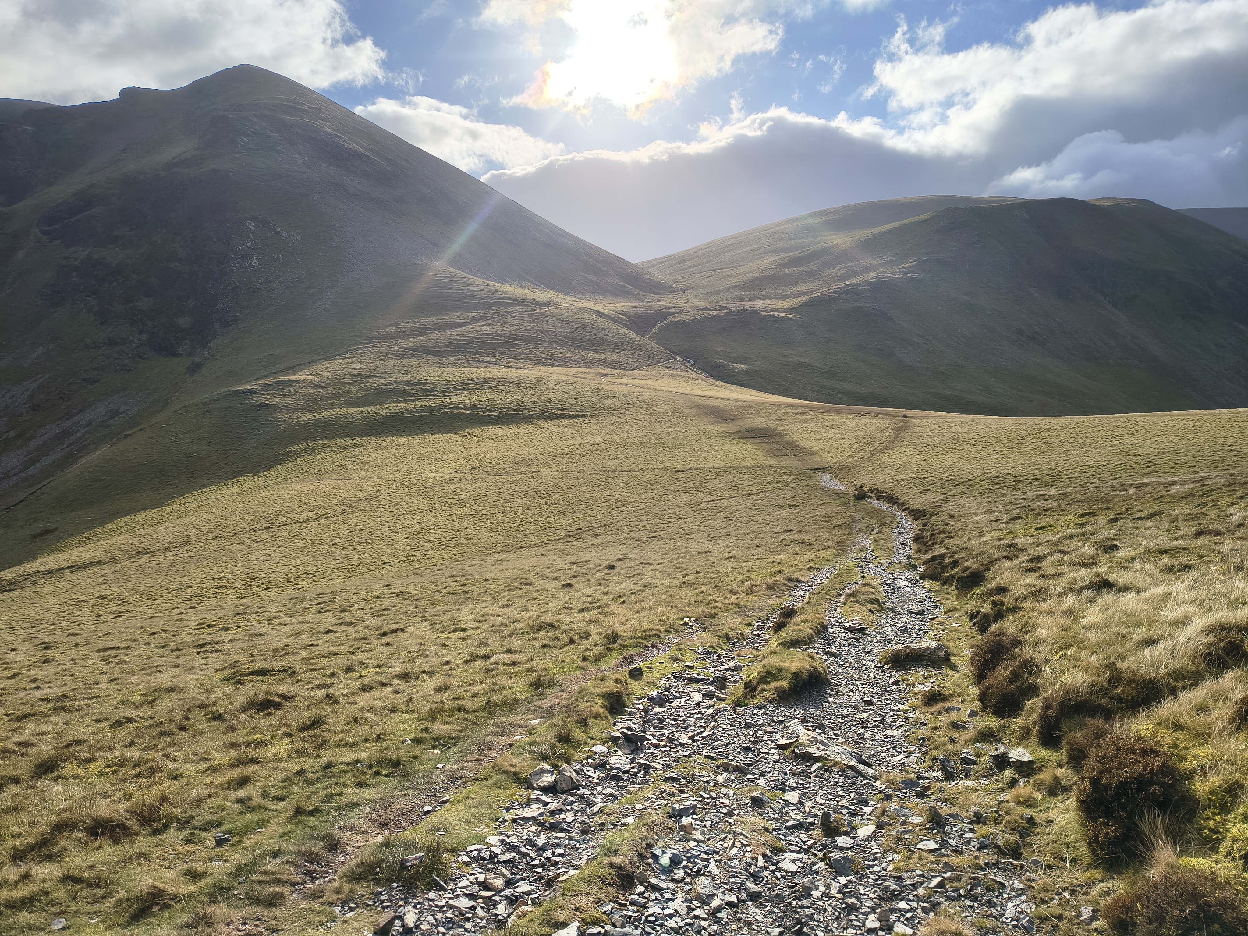
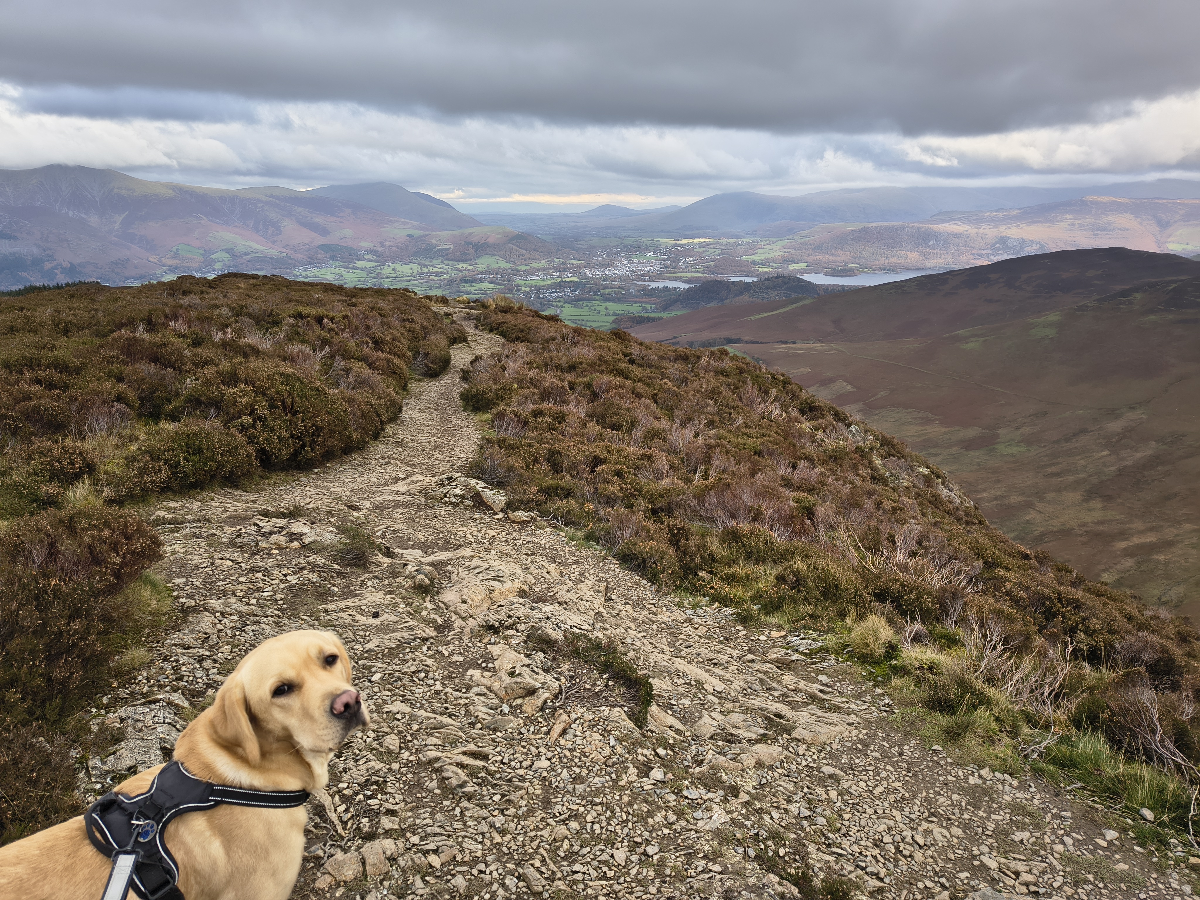
The path to Sail is difficult to miss

Coledale Partial - Image 7, Nov 05, 2026

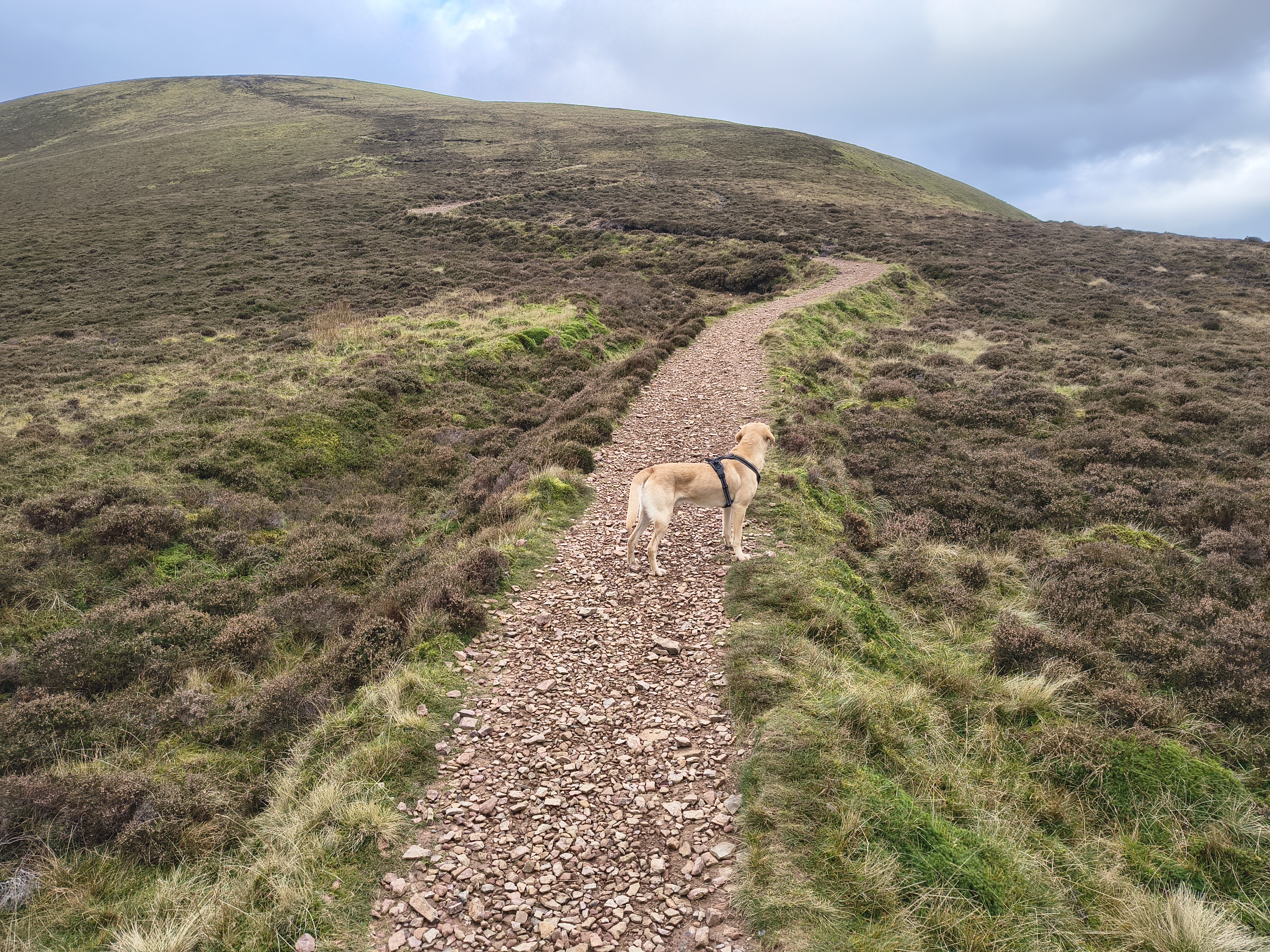
Rex enjoying his time off the lead for now

Coledale Partial - Image 8, Nov 05, 2026

The summit of Sail with its small cairn. Crag Hill beyond. It's quite windy here

Coledale Partial - Image 9, Nov 05, 2026

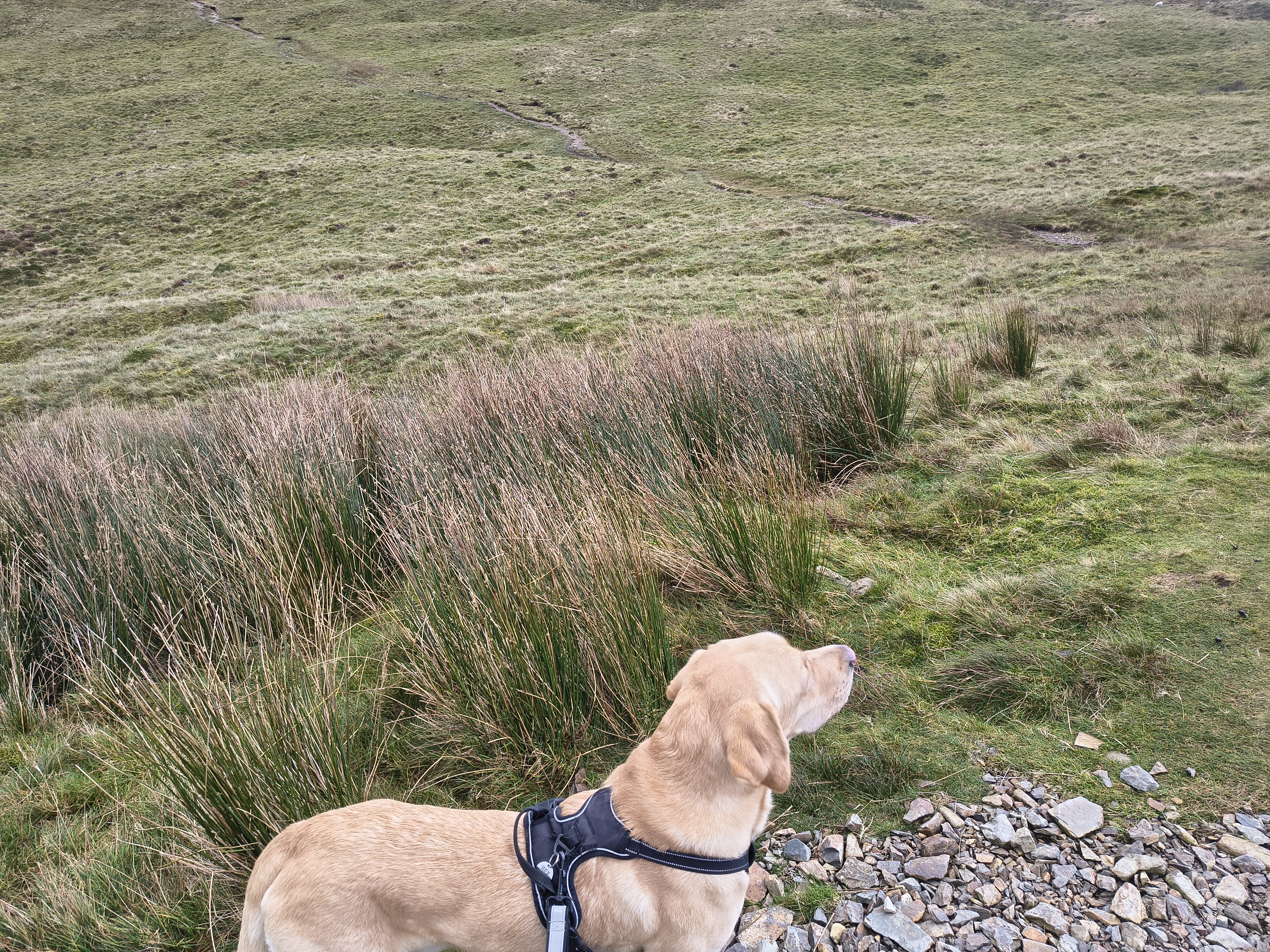
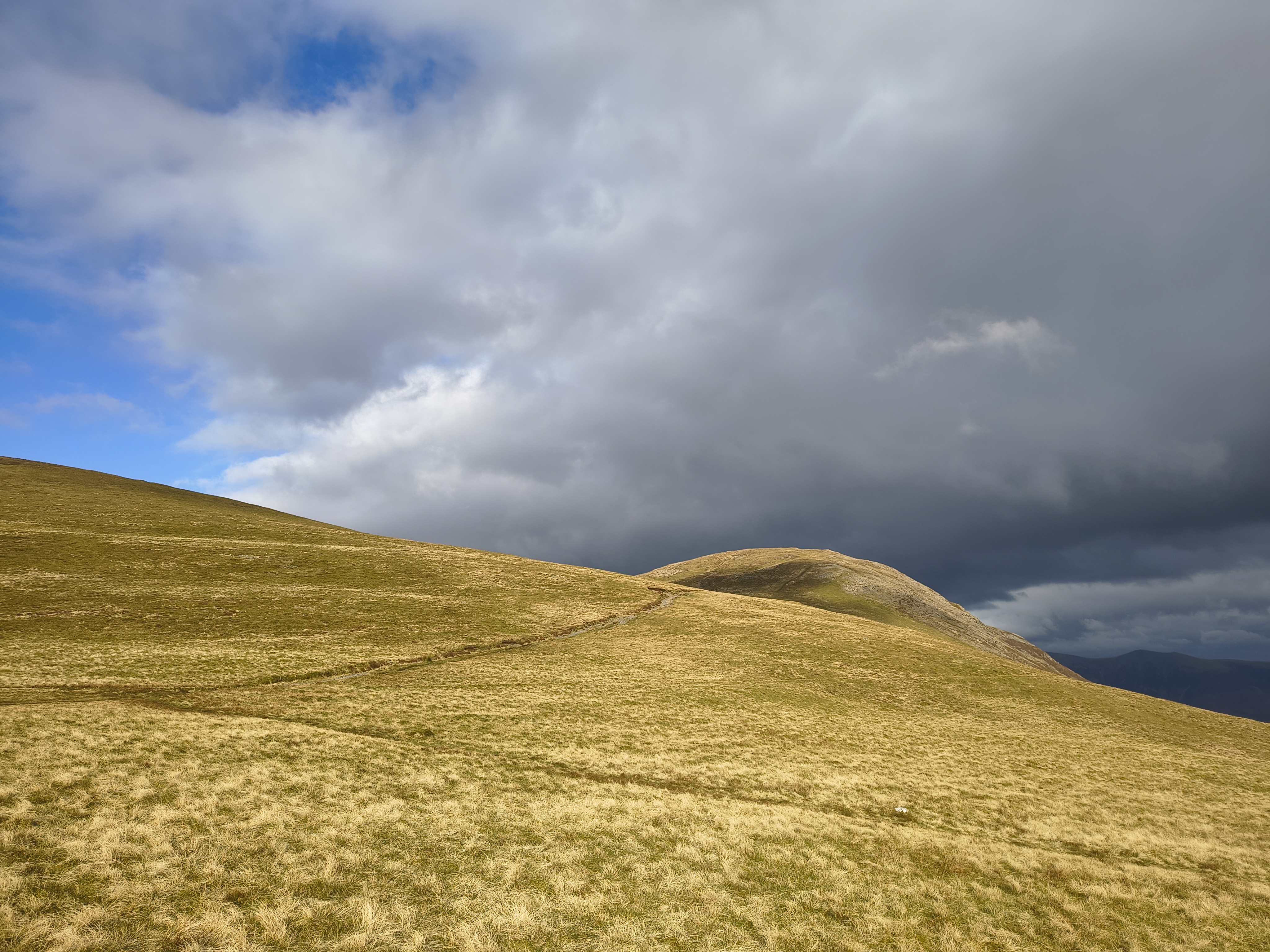
Path to Crag Hill - we can see Wandope behind and to the left

Coledale Partial - Image 10, Nov 05, 2026

Summit of Crag Hill

Coledale Partial - Image 11, Nov 05, 2026

Looking over Whiteside towards the sea

Coledale Partial - Image 12, Nov 05, 2026
Coledale Partial - Image 13, Nov 05, 2026

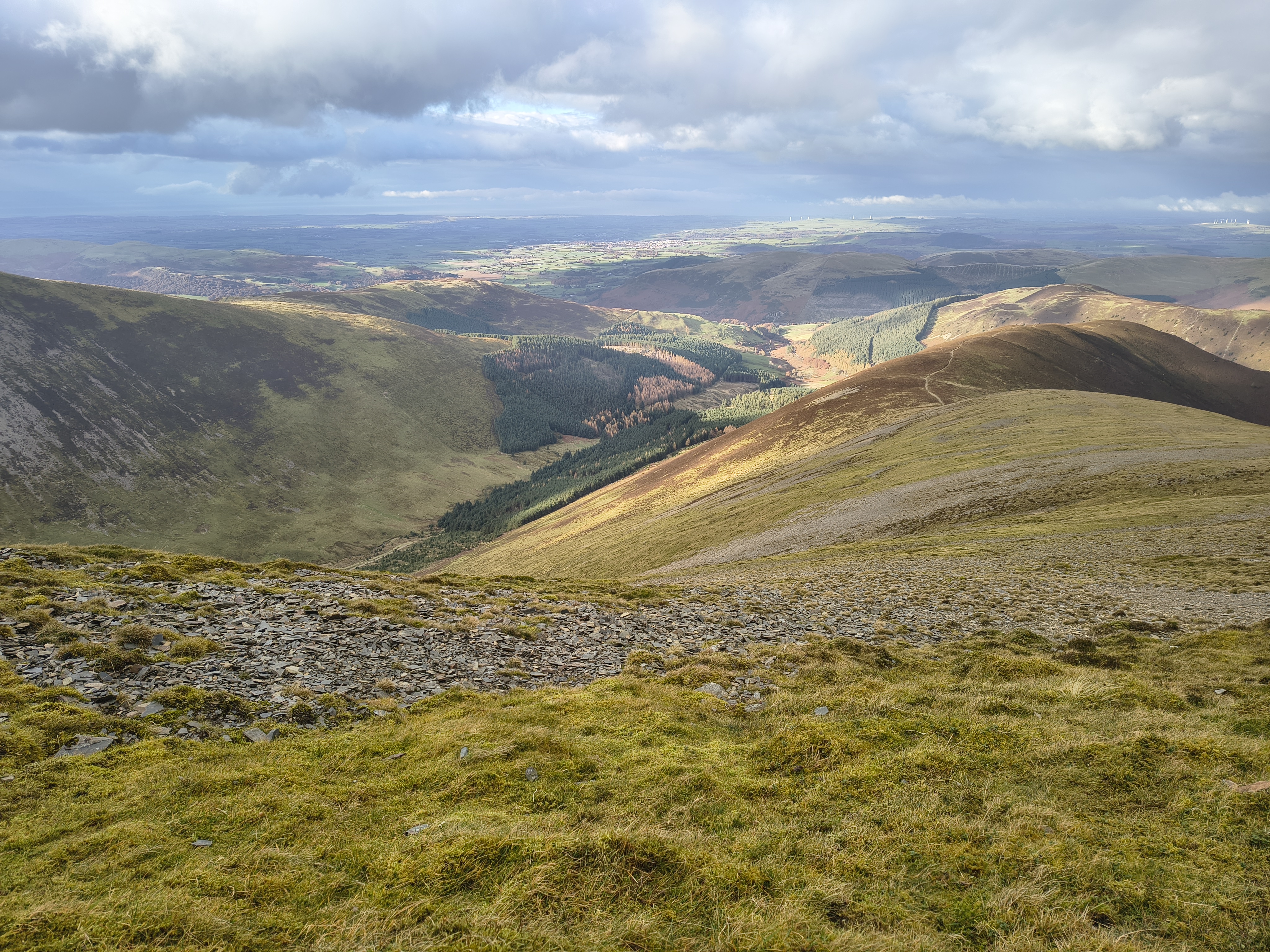
Coming off Crag Hill towards Wandope Moss

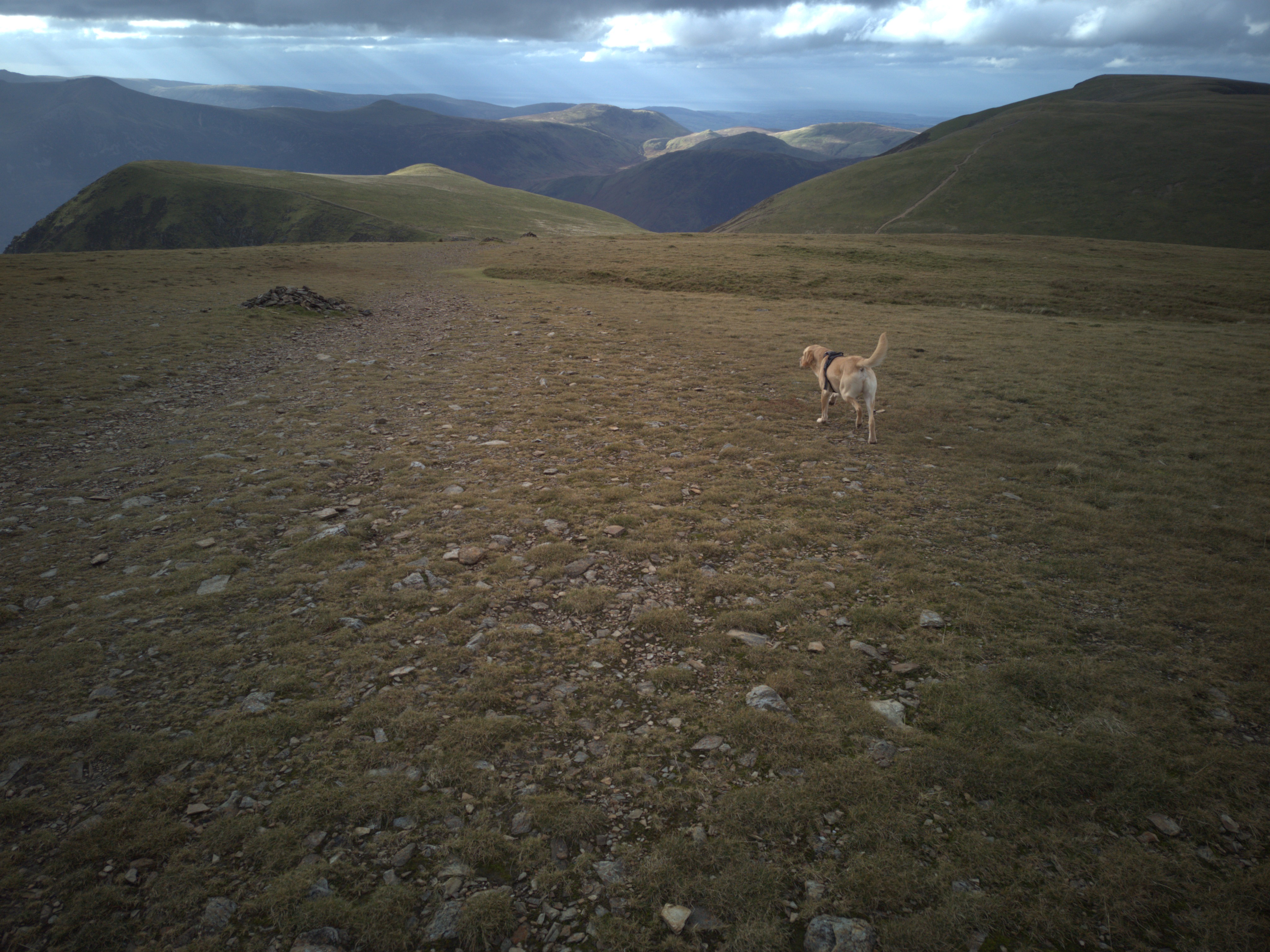
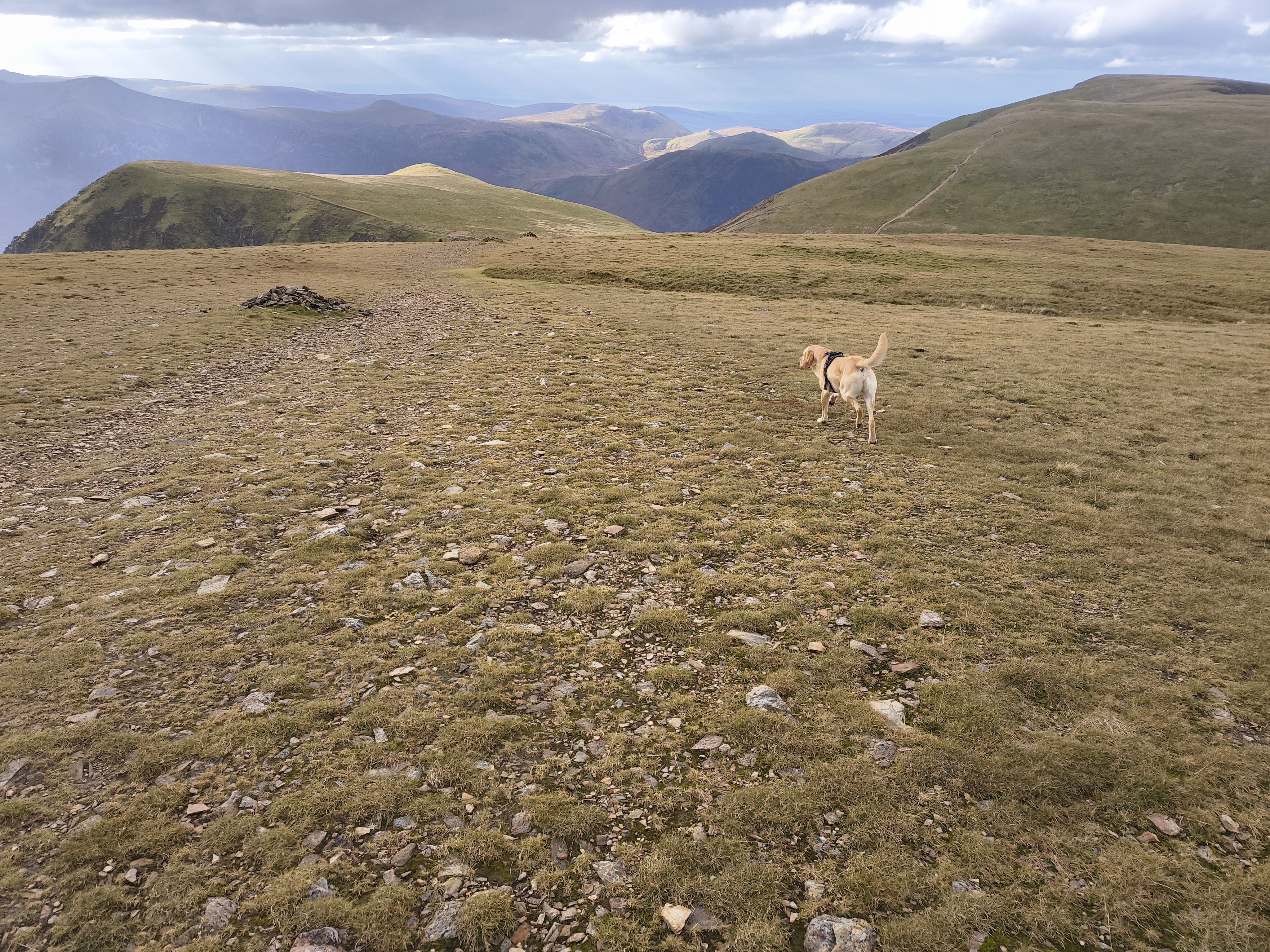
I have mentioned this a couple of times - here is the same image taken twice - once in RAW format (which matches very closely the true colours and lighting as experienced) [left, 1st], and one in JPG phone camera format [right, 2nd]. The phone camera brightens everything up to look nicer, but is not very accurate. This can create false weather memories !

Coledale Partial - Image 14, Nov 05, 2026

We stop for lunch (!) on the way to Coledale Hause. It's very windy, we find some shelter courtesy of a little dip in the ground

Coledale Partial - Image 15, Nov 05, 2026

This is when I decide to bypass Sand Hill / Hopegill Head and make a beeline to Grisedale Pike via this diagonal path NW

Although we have plenty of time, I don't want to be caught out coming off Grisedale Pike in the dark

Coledale Partial - Image 16, Nov 05, 2026

Nothing too challenging here, other than the ferocious winds

Coledale Partial - Image 17, Nov 05, 2026

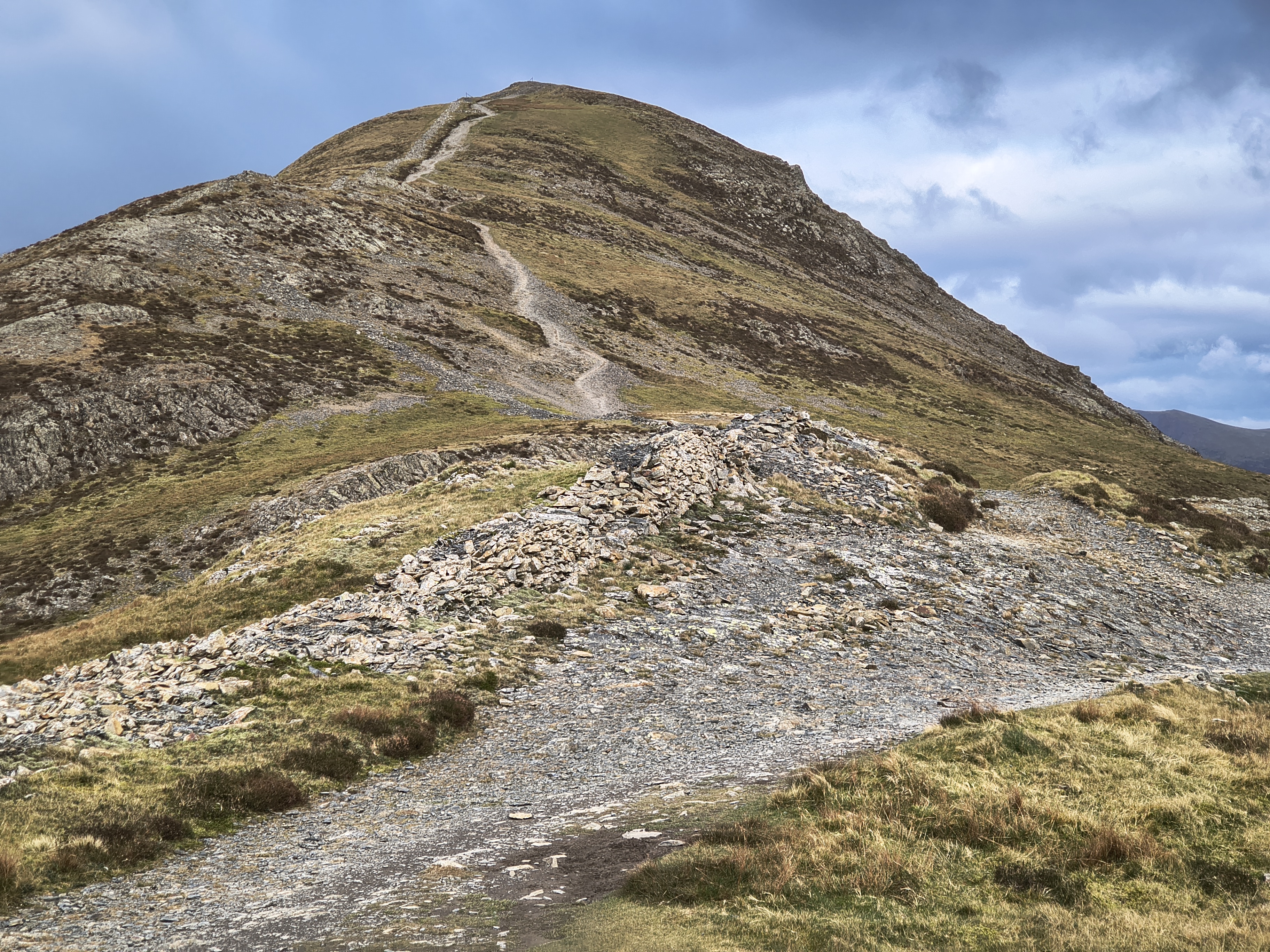
Start of ascent to Grisedale Pike

Coledale Partial - Image 18, Nov 05, 2026

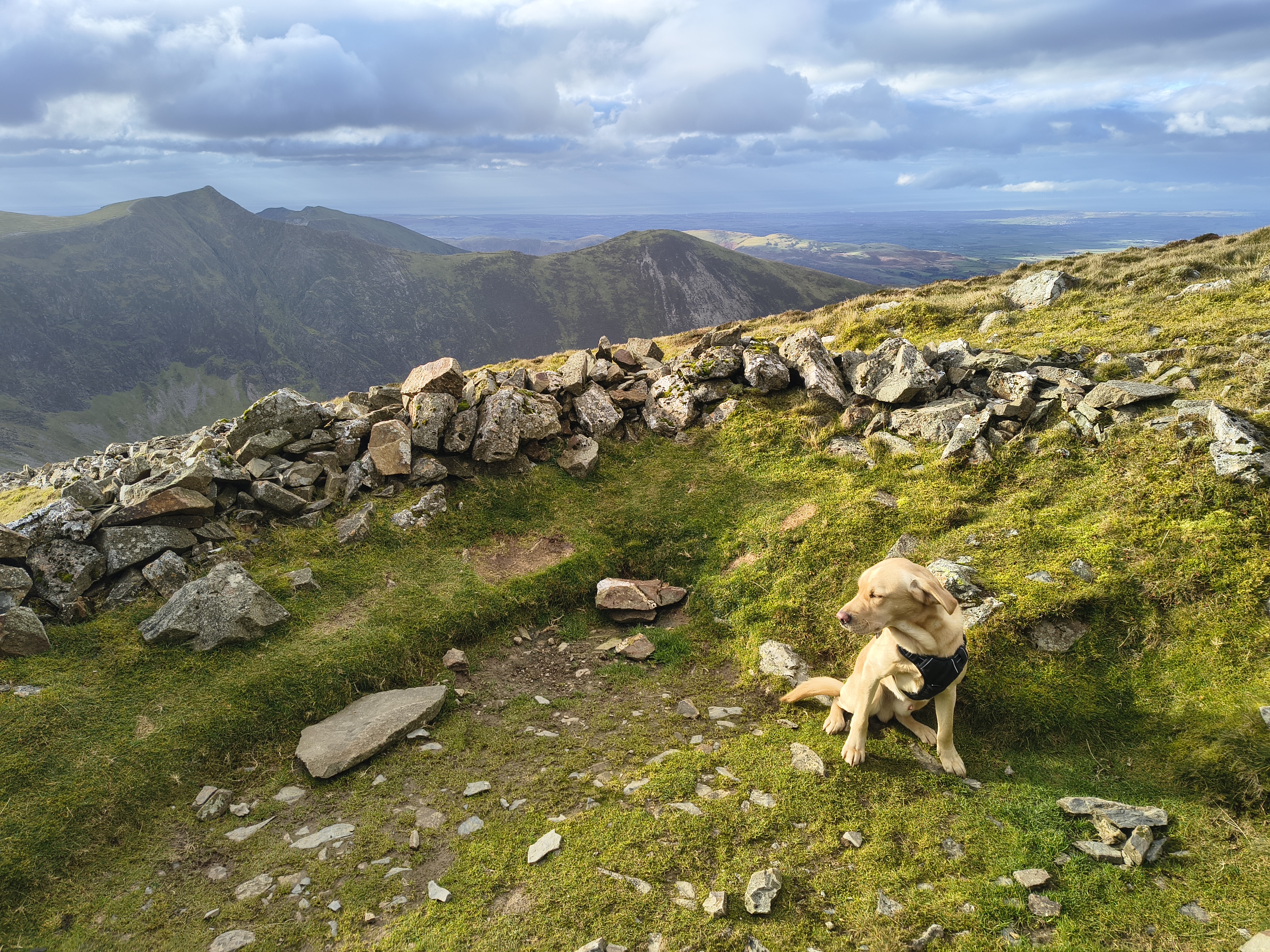
Any hopes of having a break in this sheepfold are shattered - the winds are so strong that Rex has to turn his head

Coledale Partial - Image 19, Nov 05, 2026

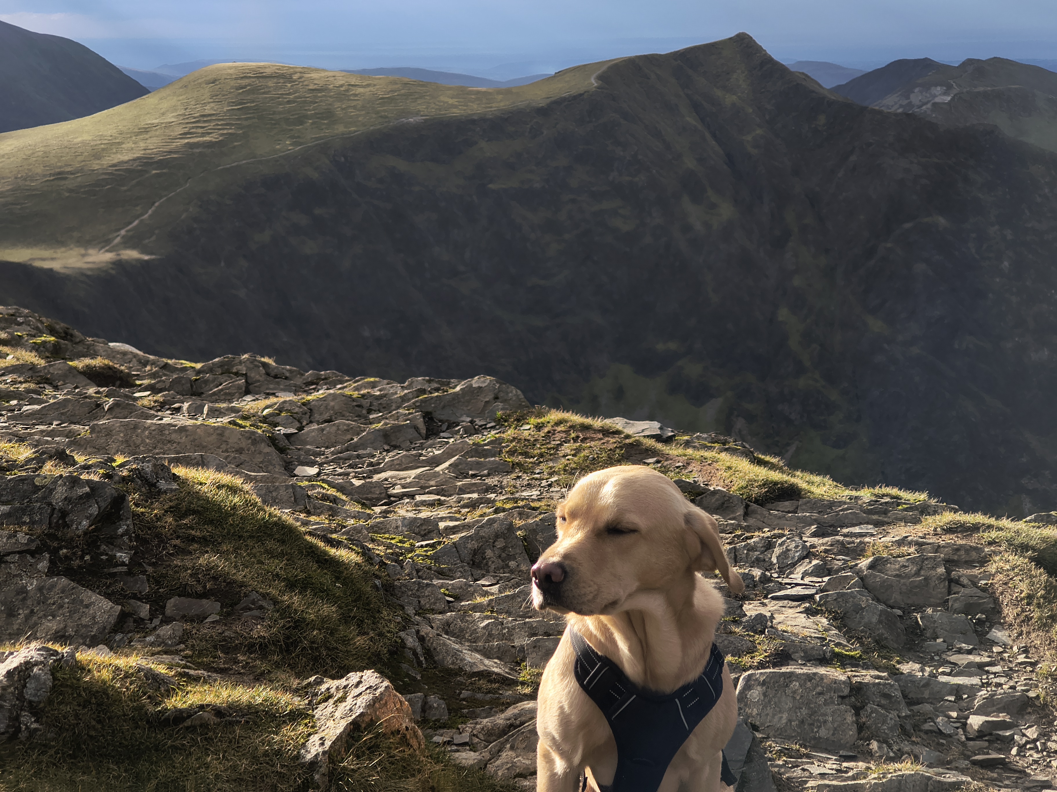
A quick eyes-closed ears-flapping pose at the summit of Grisedale Pike and then we drop off the edge northwards to escape the winds. We stop for a snack and water break, enjoying relative calm in the lee of the wind

Coledale Partial - Image 20, Nov 05, 2026

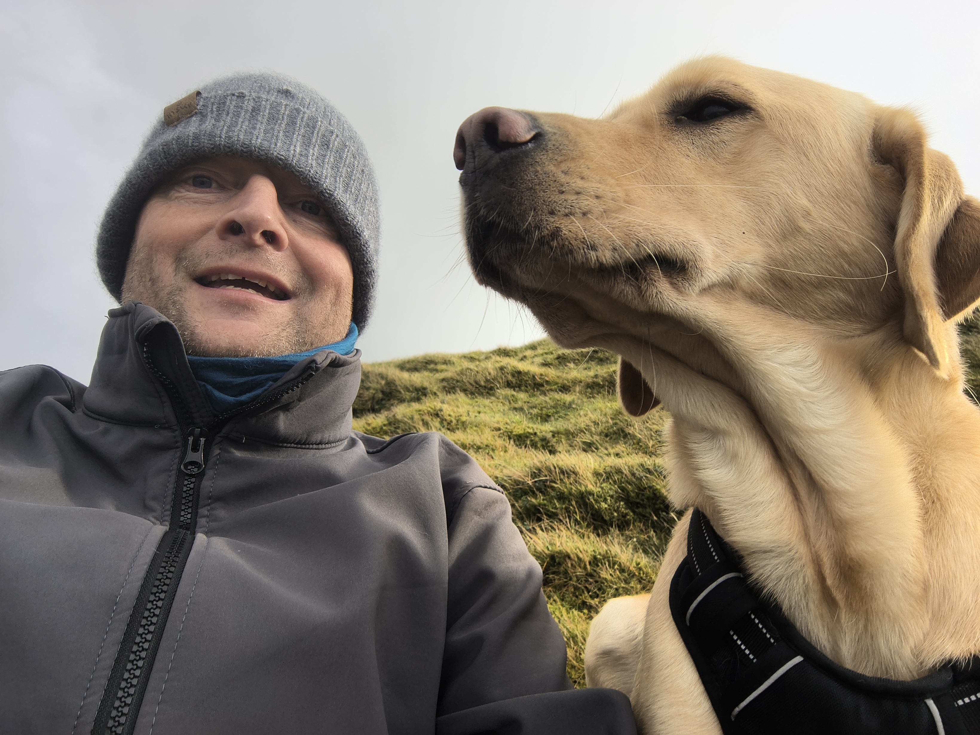
I'm well wrapped, Rex only has his fur...

Coledale Partial - Image 21, Nov 05, 2026

Starting the descent of Grisedale Pike

Coledale Partial - Image 22, Nov 05, 2026

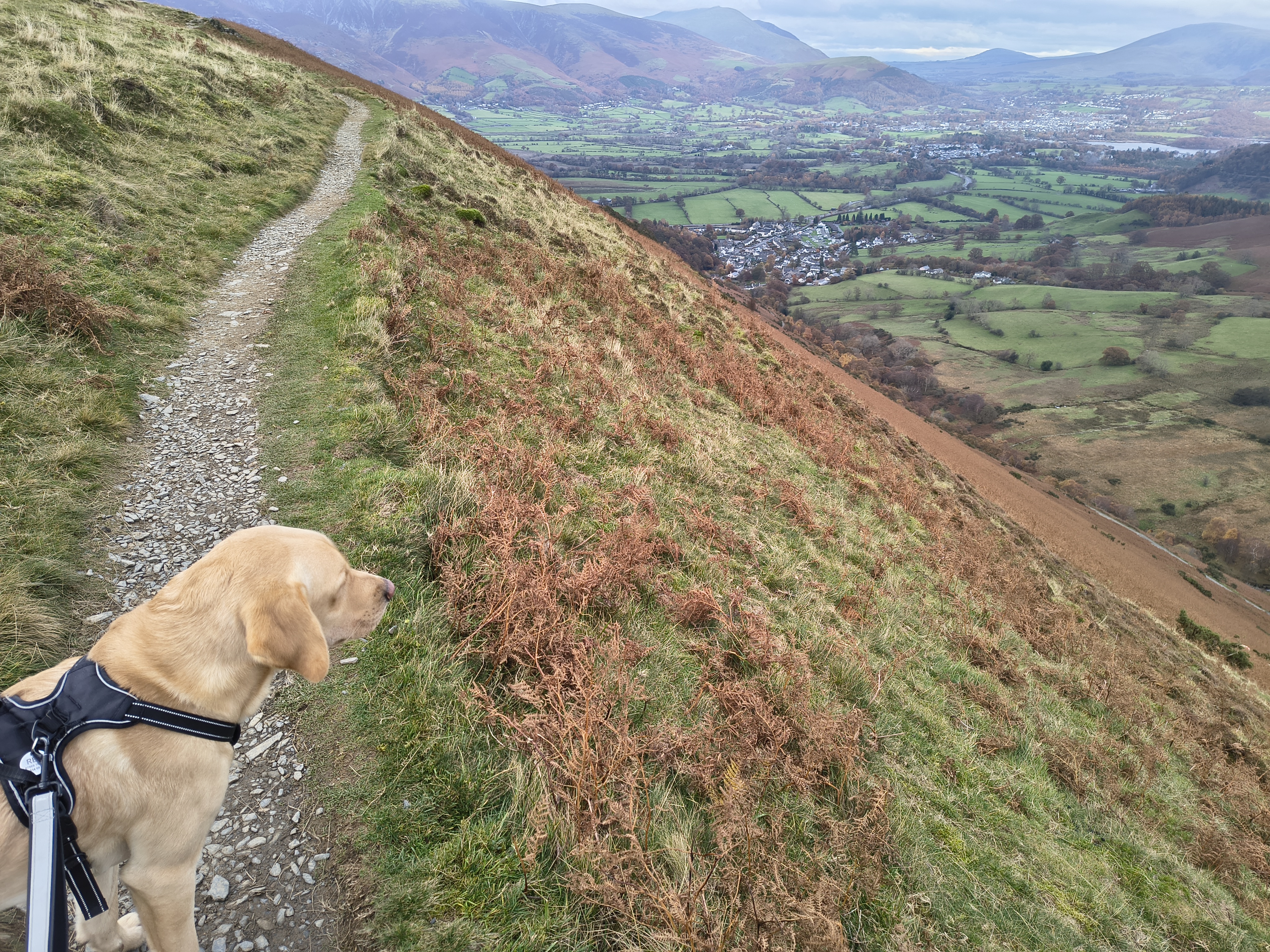
It's still overcast and very windy as we descend towards Braithwaite

Coledale Partial - Image 23, Nov 05, 2026

Keswick and Derwent Water in the distance

Coledale Partial - Image 24, Nov 05, 2026

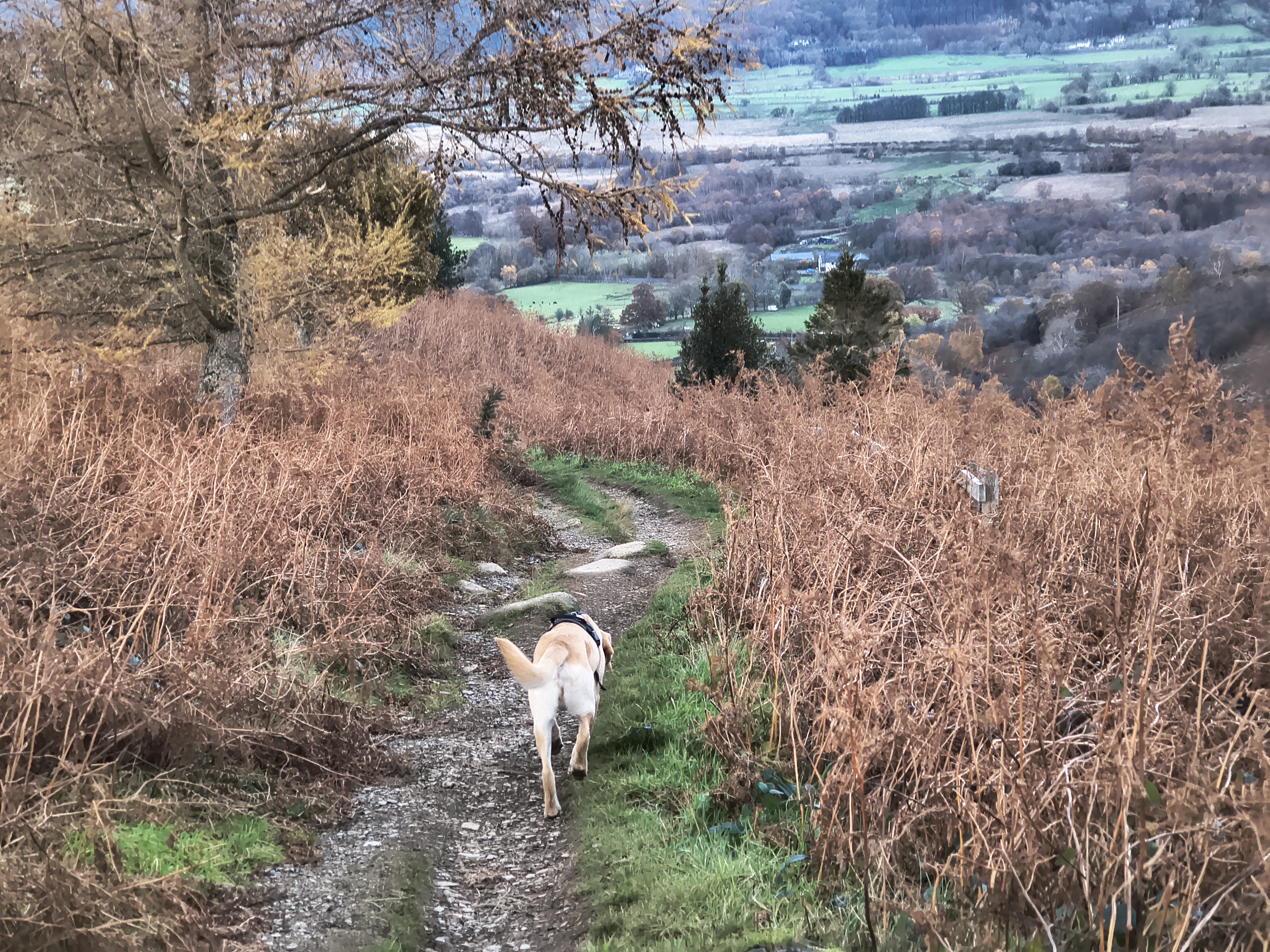
As so often at the end of a long hike, it seems further than I remember

Coledale Partial - Image 25, Nov 05, 2026

On the final stretch through the woods


Start: Braithwaite

1) Buses from Keswick to Braithwaite
2) Car parking in Braithwaite village and in the school during holiday periods

Route

Braithwaite, Barrow Door, Causey Pike, Scar Crags, Sail, Crag Hill, Coledale Hause, Grisedale Pike, Kinn
Distance 15.70 km, Time 6.19 h, Total Ascent 1,201 m
Wainwright Pictorial Guide: The North Western Fells

Fells

Causey Pike 637 m
Scar Crags 672 m
Sail 773 m
Crag Hill (Eel Crag) 839 m
Grisedale Pike 791 m
-Kinn 374 m-

Fells that are not 'Wainwrights' are depicted like this: -Kinn-

Please do your own research to verify current routes and information on car parking, bus services and so on
Route maps from Ordnance Survey are scaled 1:25000 unless otherwise indicated.
Distance, Hike Time and Total Ascent as supplied by OS. Image shows planned route.

Distance 15.70 km, Time 6.19 h, Total Ascent 1,201 m
Route Map and Details


  You are viewing in HD mode with full size images. To switch to STD mode, click here


Full-size image