 LAKE DISTRICT GUIDES - MAPS, BOOKS & ROUTES
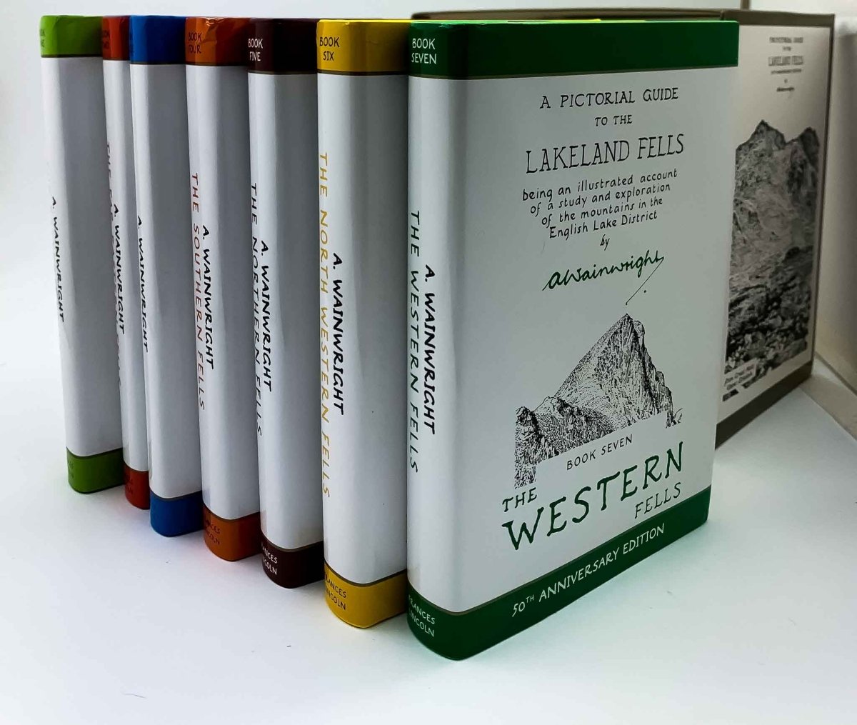
Wainwright Guides: These little books are full of useful and practical information despite their age. They are a must-read for an introduction to each area and detailed information on various routes to the fells.
Editions revised by Chris Jesty are available.
Maps: We find the most useful maps for The Lakes are the Ordnance Survey Explorer series OL 4-7 1:25000 and the Harveys spiral bound Outdoor Atlas.
The BMC Harveys map 1:40000 is also useful also as it covers the whole of the Lakes on one sheet
Apps: We use the Ordnance Survey OS Maps app for planning and occasional navigation - details below
Compass: I am old fashioned and carry a real physical compass
Personal notes and tips:
Planning: At the planning stage, we are looking for interesting hikes without significant 'dog obstacles'. Water along the route or tarns to swim in are a plus. Long stretches on roads are a minus. For planning, we read extensively the Wainwright Pictorial Guides and look at the OS Map. We then mark out our planned route on the OS Maps App.
This app gives some very useful information, although somewhat approximate. Of particular note is the elevation profile, which is a side-on view of ascent and descent. This can tell us, for example, if a particular route has a nasty drop into a col before re-ascent.
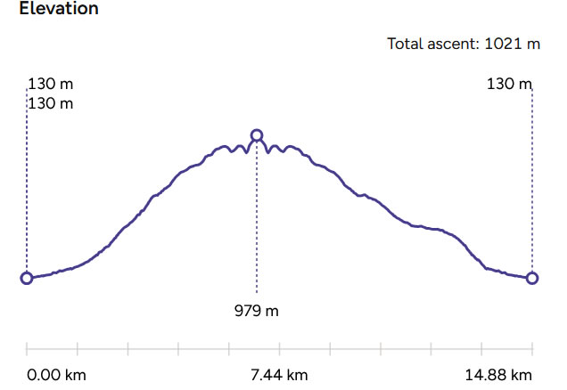
Elevation profile of Scafell Pike from Seathwaite via Grains Gill
Other important factors such as orientation can be taken into consideration (often there can be a choice of clockwise or anticlockwise. We work out where the sun will be, for example, so that we are less likely to be on slippery rocks in the shade early in the morning).
Additionally, we prefer not to have a steep climb later in the day.
Hiking: On the hike itself we don't take Wainwright guides or full maps any more. I print out the page/route information from OS Maps, and, sacrilege I know, tear out the relevant pages from the Harveys atlas. This goes into a waterproof pocket in our rucksack in case it is needed.
Often, with the forward planning of the route in mind, and the OS app in case we wander off course, we do not need it.
We always take physical map & compass.
Extra Labwag Tip: It is recommended to let someone know of your route and expected time of return. That way, should you get into trouble, someone can raise the alarm and give details of where you might be.
Extra Extra Labwag Tip: When hiking, we can be blinded by the excitement of our objective, but remember: it is more important to descend safely than to reach a peak. See our failed attempt on Red Pike for just one example.
FINDING YOUR WAY
Signage: There is very little in the way of signposts in the Lake District. Occasionally, at a crossing point, there will be some signs, or perhaps at the bottom (eg see the image of Helvellyn sign, right). This signpost that says Helvellyn 2 miles is the first and only sign on the route.
On the more popular routes the paths are clear, but anything off the main routes can be indistinct. Often what looks like a sheep track can be taken for the path, and vice versa.
Cairns: These are intermittent piles of stones that tell you that you are on a path (not necessarily the right path). It is customary to add a stone to the cairn as one passes. In poor weather, particularly, cairns can be very useful indeed.
Map Reading: I highly recommend that you learn how to read a map and compass, and that you familiarise yourself with the maps you are using. The footpath might not be clear on the ground, so map reading and orientation skills are a must.

(Click on image for popup)
Know your maps: OS Maps, for example, show public rights of way as large dashed green lines - far more clearly than public footpaths, which are a thin dashed black line. Public footpaths is what you need, as public rights of way often don't exist on the ground.
Harveys Maps don't specifically identify churches.
Apps: Apps have the great advantage, with GPS, of showing us where we are on the map. Of course I have the app, but I do always take map and compass. Loss of signal, loss of battery, phone dropped into a stream - all these can leave you in the lurch.
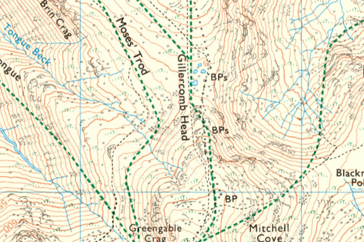 OS Map of Moses' Trod near Brandreth / Green Gable
Rights of way in bold dashed greenPublic footpaths in thin dashed black